
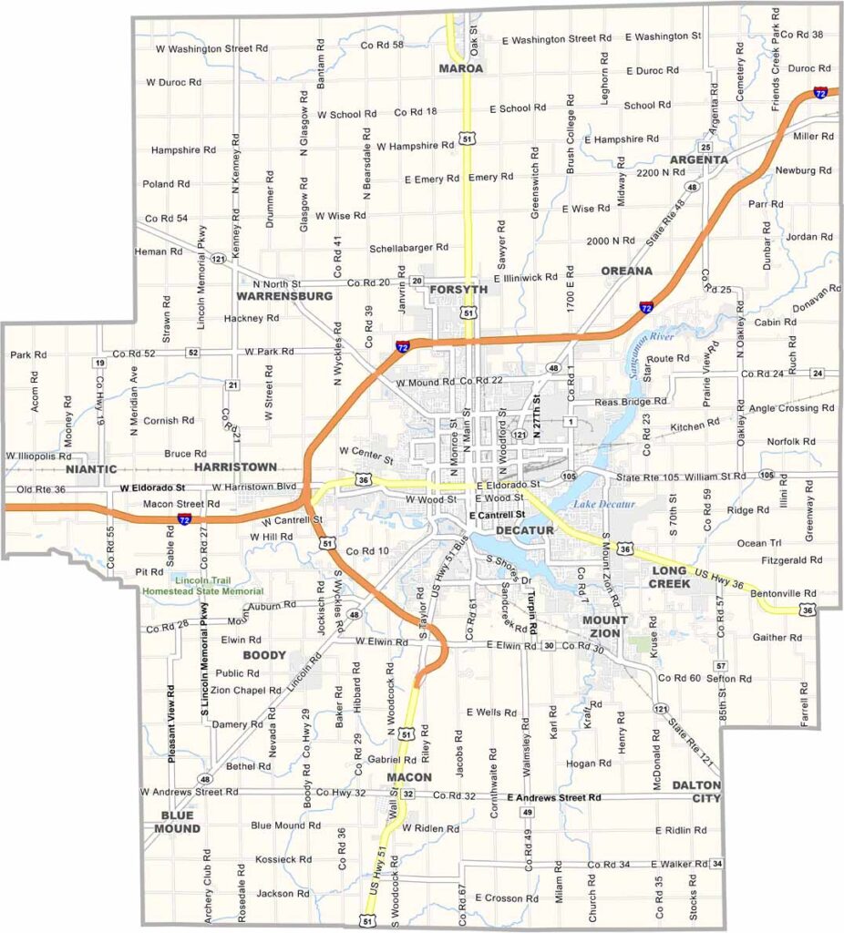
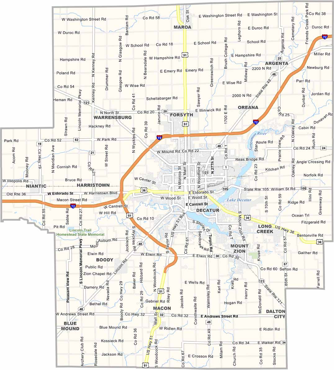
Macon County is in the middle of Illinois, with Decatur at its heart. Archer Daniels Midland has a huge presence here, and you can smell the corn processing for miles. Lake Decatur is the centerpiece, offering fishing opportunities if you don’t mind the algae.
The county is flatter than a pancake, with corn and soybean fields stretching to the horizon. Summer brings the Decatur Celebration, a street festival that’s much bigger than you’d expect. Some neighborhoods still look straight out of the 1950s.
The Hieronymus Mueller Museum is a quirky spot in Decatur. Riveting stuff, really. Millikin University brings some life to the area, and you’ll find plenty of die-hard Bears fans here, even though the county is closer to St. Louis.
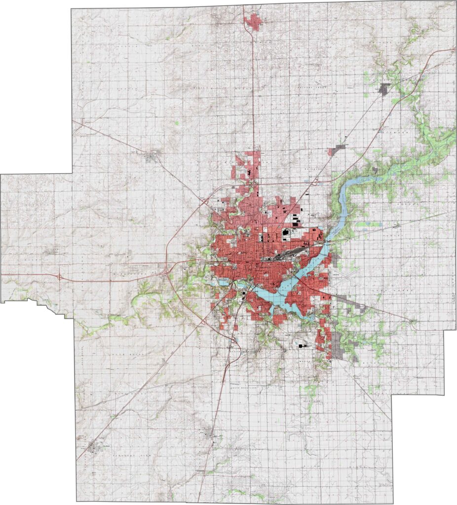
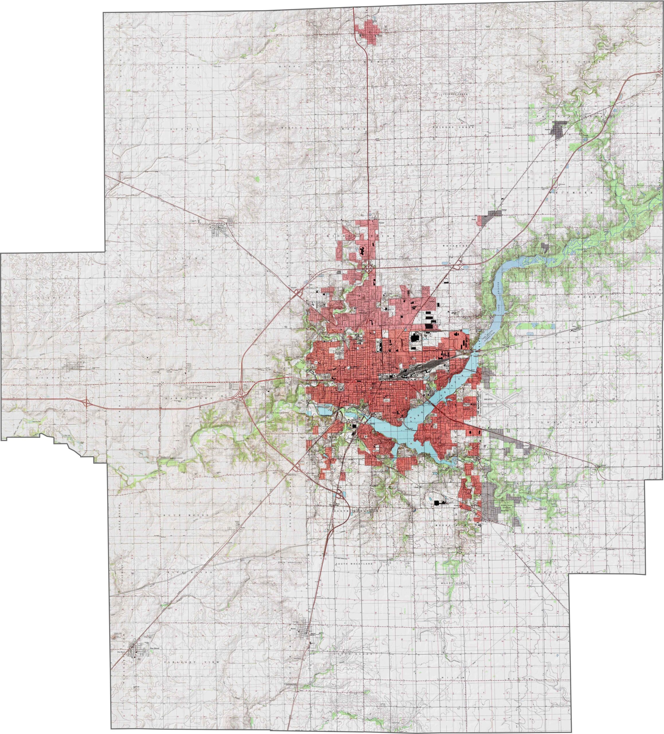
Mostly flat with rich farmland, Macon County is part of Illinois’ vast central plains. Lake Decatur, a large reservoir on the Sangamon River, breaks up the open fields. Our zoom tool lets you explore the subtle elevation changes across the county.
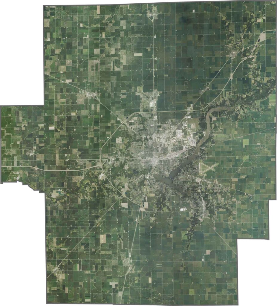
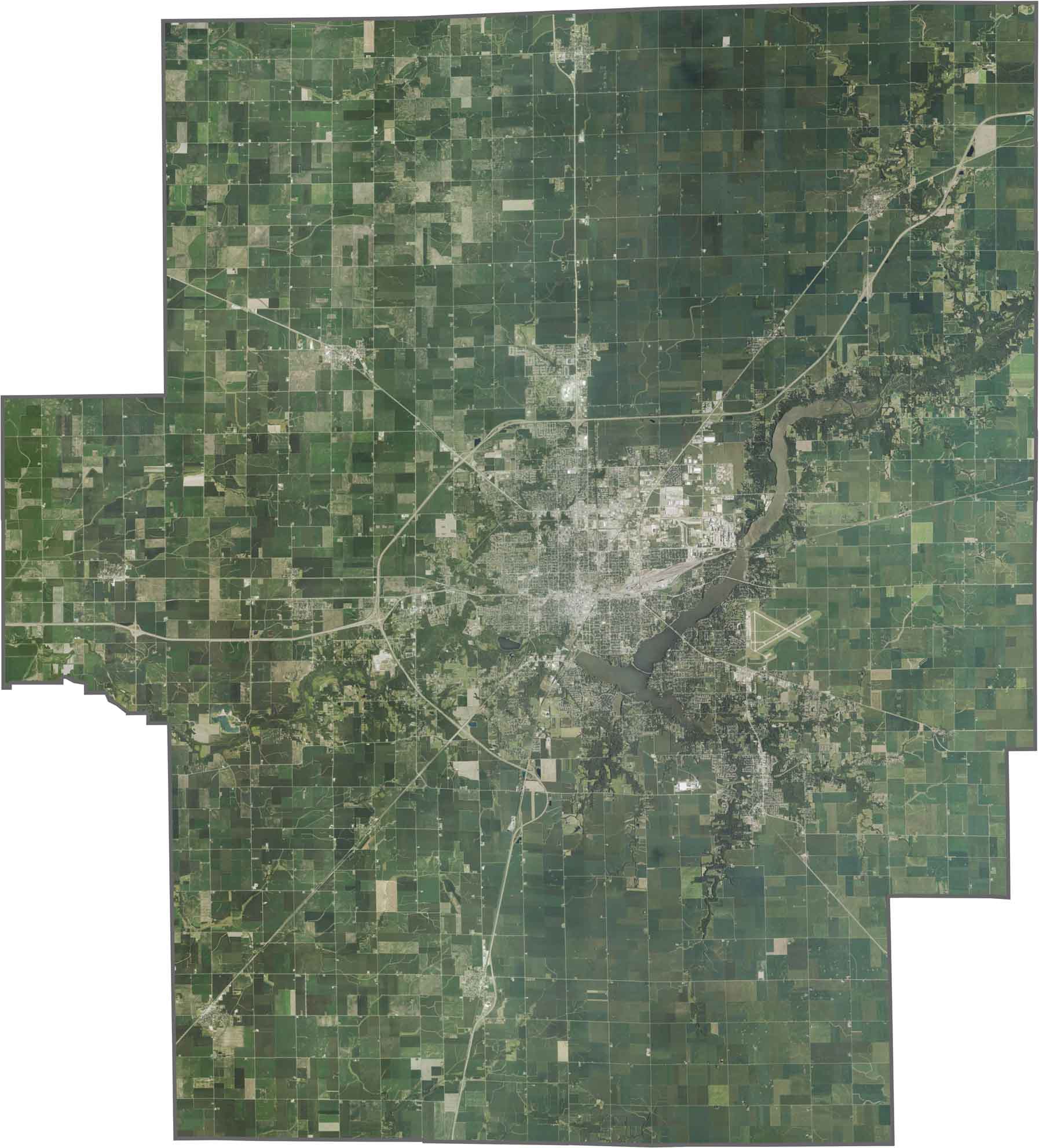
The most striking feature is Lake Decatur, a sprawling blue oval surrounded by Decatur. Farmland dominates the view, forming a grid of rectangular fields crisscrossed by straight rural roads. Highways like I-72 cut across the county in clean, straight lines.
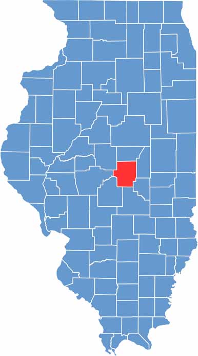
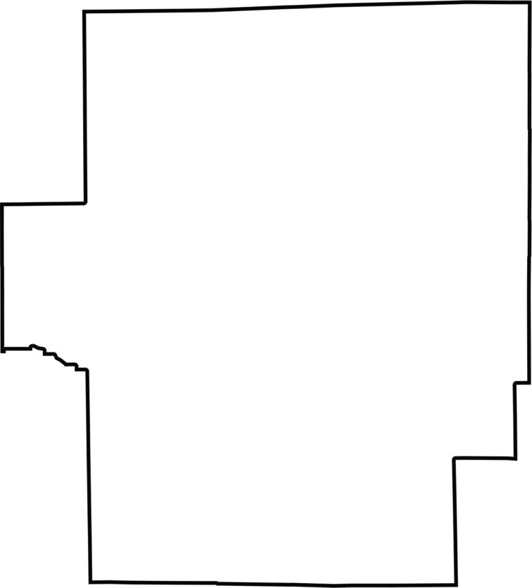
Macon County is nearly a perfect rectangle, with straight borders on all sides—a classic example of Midwestern surveyor-drawn boundaries. No rivers define its edges, and it doesn’t border another state.







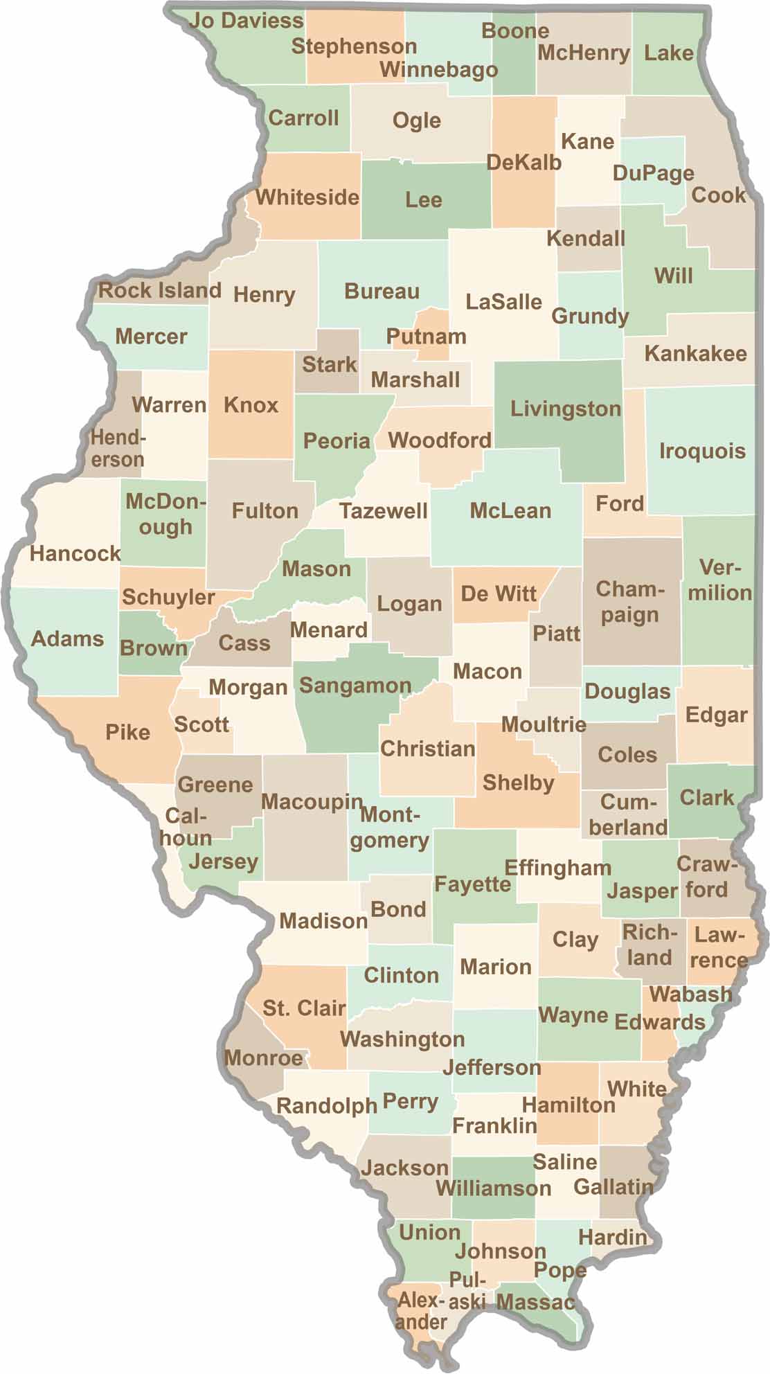
Ready to explore Illinois? Discover counties full of surprises, from the energy of Chicago and Cook County to the quiet beauty of Shawnee National Forest. Explore rich history, farmland, natural scenery, and small-town charm with our Illinois county map. Find your next adventure and discover all that Illinois has to offer.