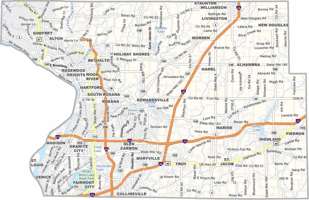
Madison County, Illinois

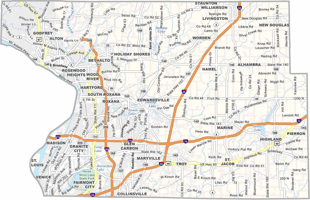
Madison County sits in southwestern Illinois, right across the Mississippi River from St. Louis. Alton, the largest city, is known for its limestone bluffs and riverfront views. Manufacturing and healthcare drive the local economy these days.

You’ll find a mix of farmland, forests, and communities throughout the county. Outdoor enthusiasts love exploring the miles of bike trails that crisscross the area. Local festivals celebrate everything from apple orchards to barbecue.

Madison County has a little bit of everything, from lively towns like Edwardsville to miles of peaceful farmland. With the Mississippi River running along its edge, it’s a great place for everyone to enjoy.
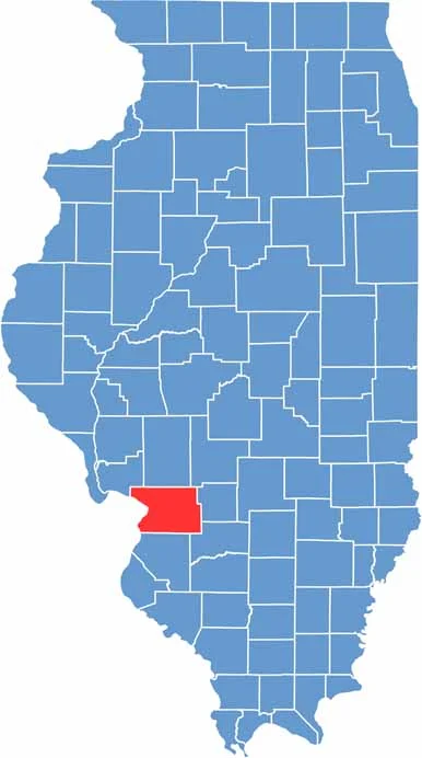
CategoryDetails
County NameMadison County
County SeatEdwardsville
EtymologyNamed in honor of James Madison, the fourth President of the United States
Cities, Towns, and CommunitiesAlton, Granite City, Collinsville, Troy, and several unincorporated communities
Interstates and HighwaysInterstate 55, Interstate 64, Interstate 270, U.S. Highway 40, U.S. Highway 67, Illinois Route 3
FIPS Code17-119
Total Area (Land and Water)738 square miles (land: 715 sq mi, water: 23 sq mi)
Adjacent Counties (and Direction)Bond County (East), Clinton County (Southeast), Jersey County (Northwest), Macoupin County (North), Montgomery County (Northeast), St. Charles County, Missouri (Northwest), St. Clair County (South), St. Louis, Missouri (West), St. Louis County, Missouri (West)
Time ZoneCentral Time Zone (CT)
PopulationApproximately 270,000
StateIllinois
Coordinates38.7680° N, 89.9786° W
Major LandmarksThe Gateway Arch (visible from parts of the county), Alton Historic District, and Cahokia Mounds

PHYSICAL MAP

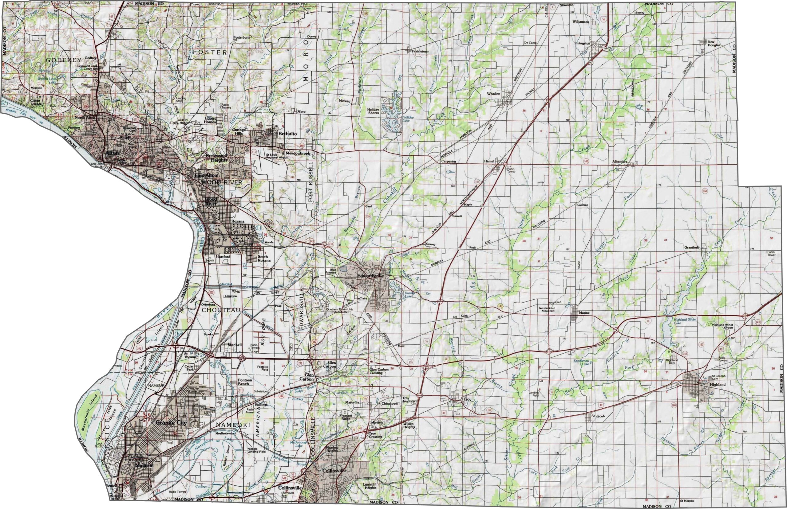
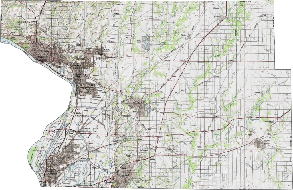
Madison County Topographic Map

While much of Winnebago County is relatively flat, the Rock River Valley creates rolling hills and bluffs, especially around Rockford. Small lakes and wetlands can also be found in the northern sections, while the majority of the county consists of open farmland.
SATELLITE IMAGERY

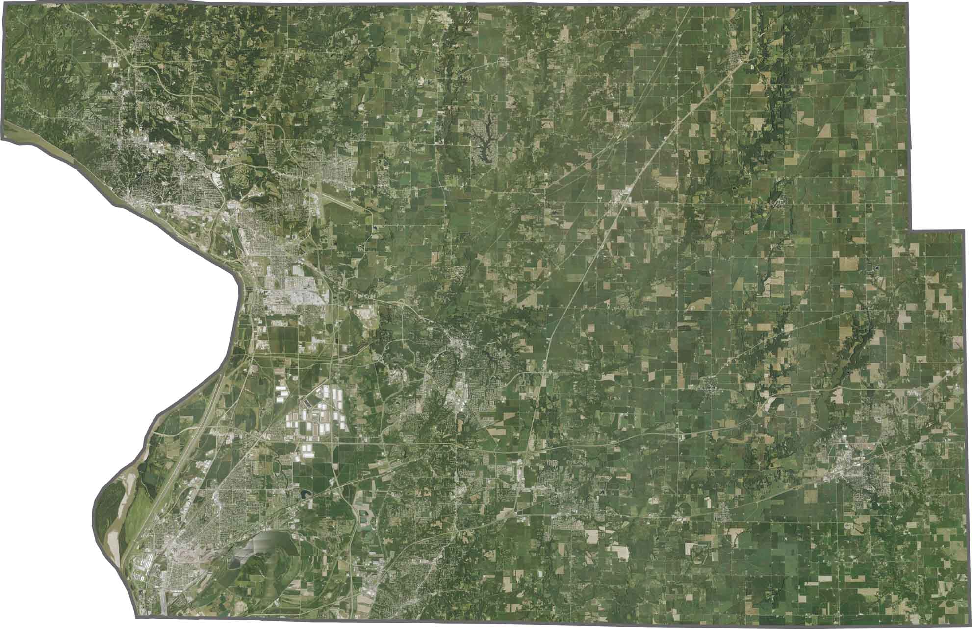
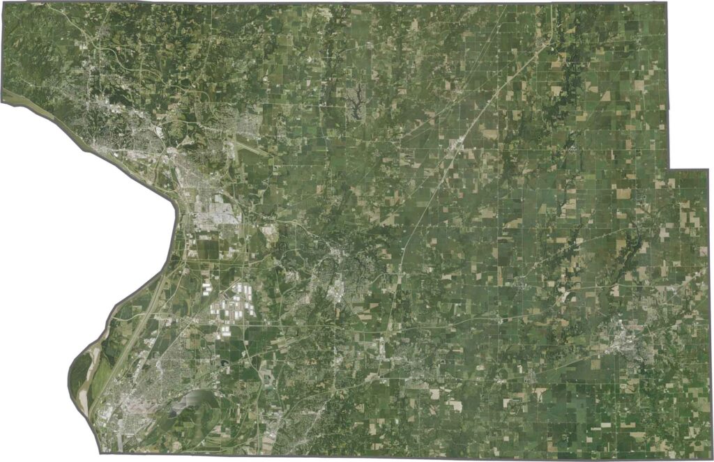
Madison County Satellite Map

While much of Winnebago County is relatively flat, the Rock River Valley creates rolling hills and bluffs, especially around Rockford. Small lakes and wetlands can also be found in the northern sections, while the majority of the county consists of open farmland.
OUTLINE MAP

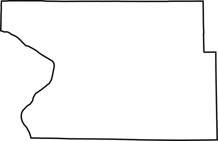
Madison County Blank Map

While much of Winnebago County is relatively flat, the Rock River Valley creates rolling hills and bluffs, especially around Rockford. Small lakes and wetlands can also be found in the northern sections, while the majority of the county consists of open farmland.

Category Details
County Name Stone County
County Seat Galena
Cities, Towns, and Communities Branson West, Kimberling City, Reeds Spring, Crane, Galena, Blue Eye, Cape Fair
Interstates and Highways MO 13, MO 76, MO 86
Etymology Named for William Stone, first elected judge of Taney County
FIPS Code 29-209
Total Area (Land and Water) 511 square miles (Land: 464 sq mi, Water: 47 sq mi)
Time Zone Central Time Zone (CT)
State Missouri
Coordinates 36.7658° N, 93.4313° W
Major Landmarks Table Rock Lake, Talking Rocks Cavern, Silver Dollar City, Shepherd of the Hills Fish Hatchery
Adjacent Counties (and Direction) Christian County (North), Taney County (East), Carroll County, Arkansas (South), Barry County (West), Lawrence County (Northwest)
Population Approximately 32,000

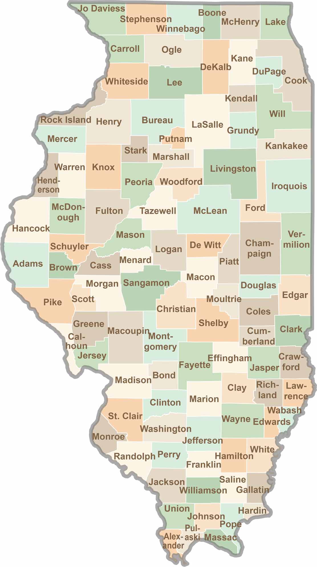
Illinois County Map

Illinois map showing boundaries and locations.

Ready to explore Illinois? Discover counties full of surprises, from the energy of Chicago and Cook County to the quiet beauty of Shawnee National Forest. Explore rich history, farmland, natural scenery, and small-town charm with our Illinois county map. Find your next adventure and discover all that Illinois has to offer.

Scroll to Top