Concordia Parish, Louisiana

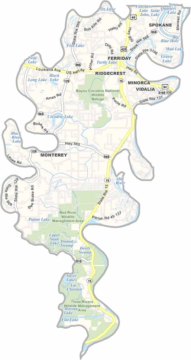
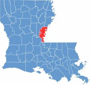
Concordia Parish lies in eastern Louisiana, bordered by the Mississippi River to the east and the Black River to the west. It sits directly across the Mississippi River from Natchez, Mississippi, giving the parish a distinctive position along the state’s eastern edge.

The parish blends history and natural beauty, with fertile soils that once made the area attractive for large agricultural plantations. Today, fishing and hunting remain popular outdoor activities, drawing residents and visitors to the parish’s rivers, lakes, and surrounding countryside.

The Red River Wildlife Management Area offers excellent opportunities for wildlife viewing, fishing, hunting, and outdoor recreation. Vidalia, the parish seat, has an interesting history of its own, having been relocated farther inland after repeated flooding along the Mississippi River threatened its original site.

CategoryDetails
Parish NameConcordia Parish
Parish SeatVidalia
EtymologyNamed after the term “concord,” symbolizing harmony, and the peace achieved between the French settlers and Native Americans in the area
Cities, Towns, and CommunitiesVidalia, Ferriday, Clayton, Ridgecrest, Monterey, Wildsville, Frogmore
Interstates and HighwaysUS-84, US-65, US-425, LA-15, LA-131
FIPS Code22-029
Total Area (Land and Water)749 square miles (697 sq mi land, 52 sq mi water)
Adjacent Parishes (and Direction)Tensas Parish (North), Adams County, Mississippi (Northeast), Wilkinson County, Mississippi (East), West Feliciana Parish (Southeast), Pointe Coupee Parish (South), Avoyelles Parish (Southwest), Catahoula Parish (West)
Time ZoneCentral Time Zone (CT)
StateLouisiana
Coordinates31.5692° N, 91.5851° W
Major LandmarksFrogmore Plantation and Gins, Lake Concordia, Old River Control Structure, Vidalia Riverfront, Panola Plantation, Bayou Cocodrie National Wildlife Refuge
PopulationApproximately 18,000
Scroll to Top