
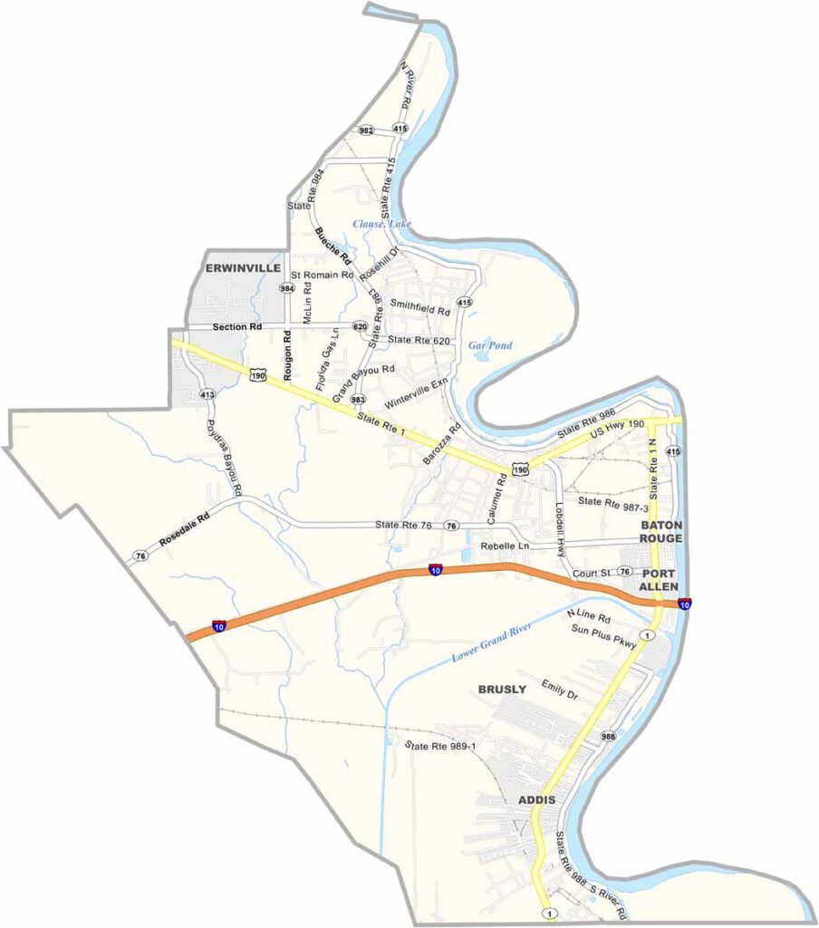
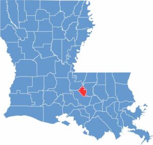
West Baton Rouge Parish, Louisiana

West Baton Rouge Parish sits directly across the Mississippi River from Baton Rouge, Louisiana’s capital city. The parish has a rich history dating back to the early 1800s.

Sugar plantations once dominated the landscape. These days, it’s somewhat of a bedroom community for Baton Rouge, but it still has a personality of its own.

The river plays a major role in life here. Fishing, boating, and watching massive ships pass by are popular pastimes. If you’re into nature, check out the levee bike path for some great views.

CategoryDetails
Parish NameWest Baton Rouge Parish
Parish SeatPort Allen
EtymologyNamed for its location west of the Mississippi River from Baton Rouge, with “Baton Rouge” meaning “Red Stick” in French
Cities, Towns, and CommunitiesPort Allen, Brusly, Addis, Erwinville, Lobdell, Rosedale
Interstates and HighwaysI-10, LA-1, LA-415, US-190
FIPS Code22-121
Total Area (Land and Water)204 square miles (192 sq mi land, 12 sq mi water)
Adjacent Parishes (and Direction)West Feliciana Parish (North), East Baton Rouge Parish (East), East Feliciana Parish (Northeast), Iberville Parish (Southwest), Pointe Coupee Parish (Northwest)
Time ZoneCentral Time Zone (CT)
StateLouisiana
Coordinates30.4584° N, 91.3126° W
Major LandmarksWest Baton Rouge Museum, Old Ferry Landing, Mississippi Riverfront Development, Port Allen Lock, Myrtles Plantation
PopulationApproximately 27,000
Scroll to Top





