
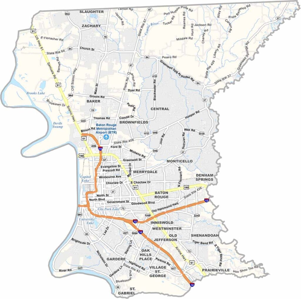
East Baton Rouge Parish is located in the heart of southeastern Louisiana and is one of the state’s most populous parishes, with more than 450,000 residents. Its urban core, surrounding communities, and rural areas create a diverse landscape within the parish.
Baton Rouge, the state capital and parish seat, sits at the center of the parish. The Mississippi River runs along its western edge, playing an important role in the area’s history, transportation, and economy. Despite the parish’s urban development, pockets of quiet bayous and wetlands can still be found throughout the landscape.
The Louisiana State University (LSU) campus brings a youthful energy to the area, especially on game days when Tiger Stadium fills with passionate fans. Food is another major part of local culture, with favorites such as spicy jambalaya, fresh seafood, and other classic Louisiana dishes adding to the parish’s distinctive character.
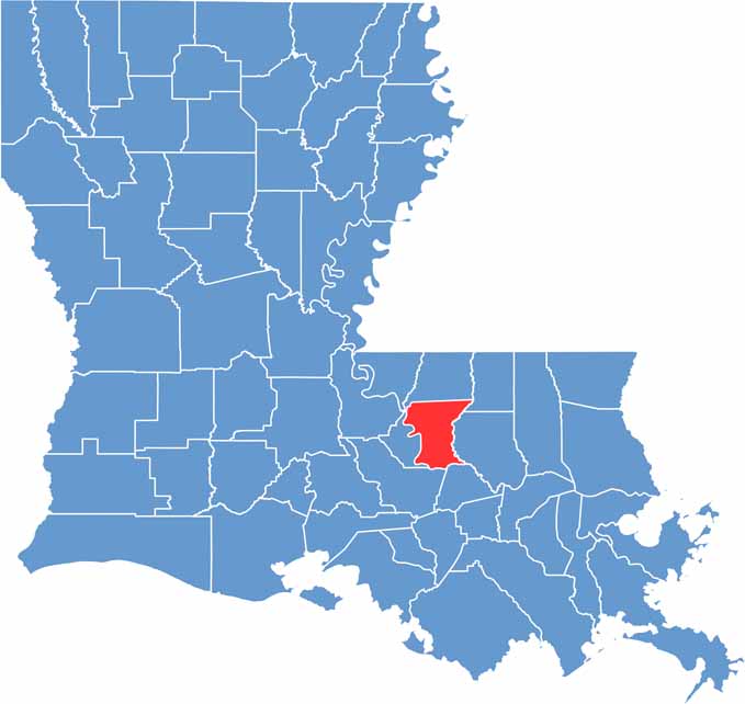
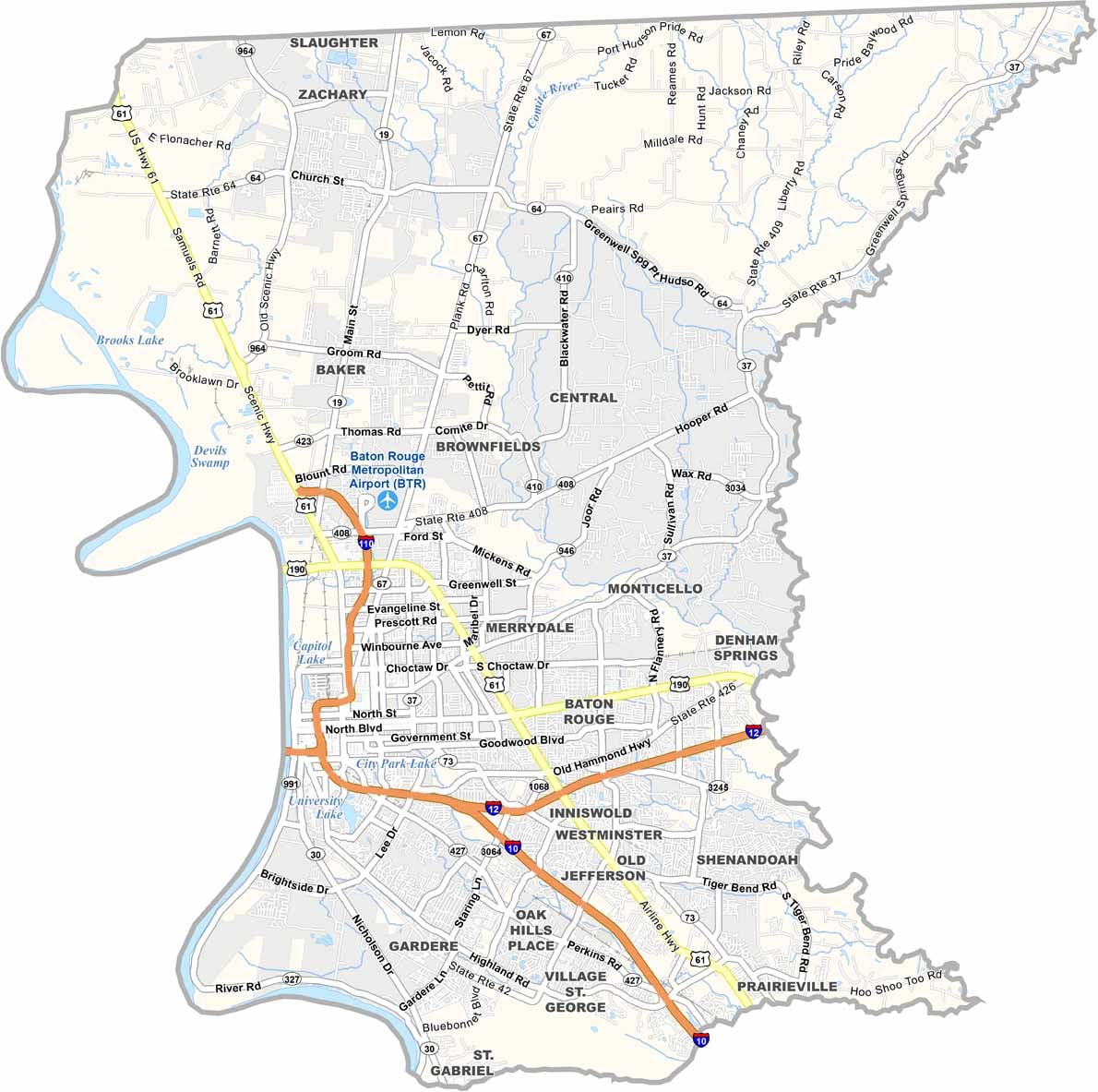
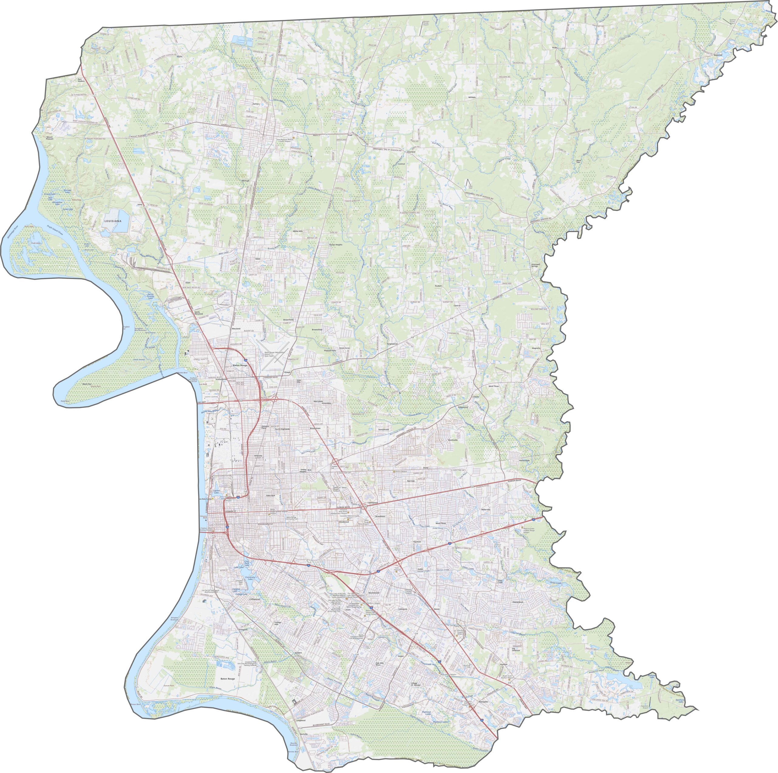
East Baton Rouge Parish is a major transportation hub in Louisiana. I-10 and I-12 intersect here, carrying steady traffic through Baton Rouge and connecting the capital with communities across the region. Use our zoom tool to navigate Baton Rouge’s complex network of major highways and local roads.
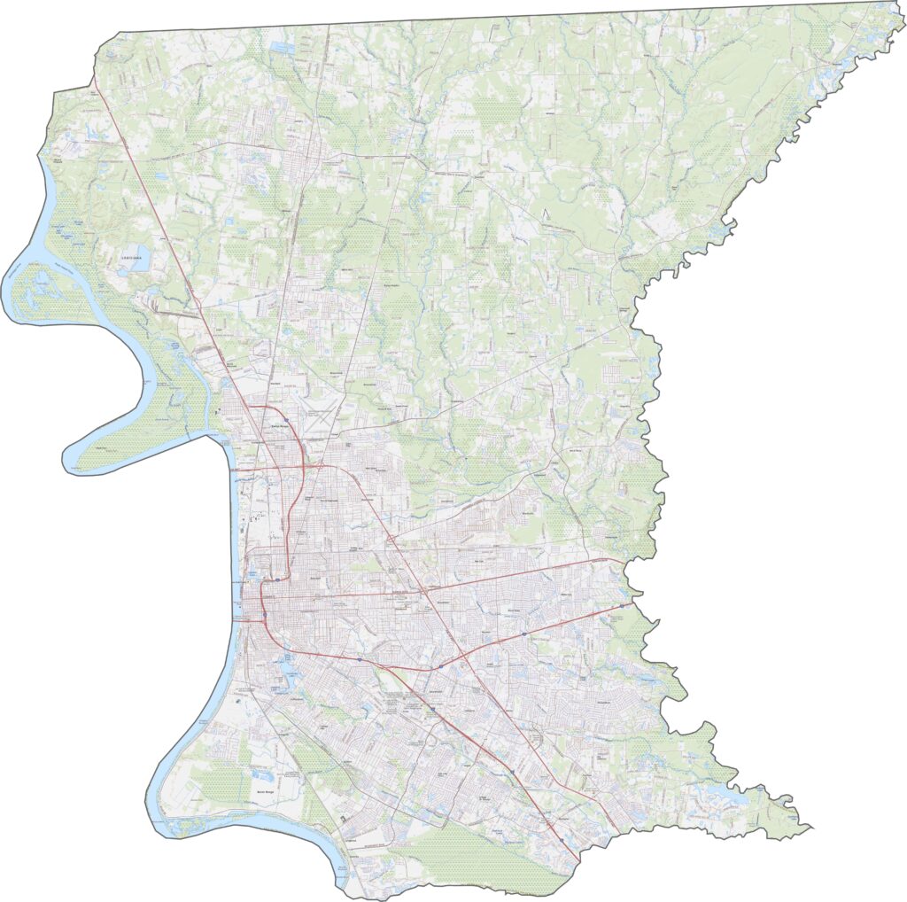
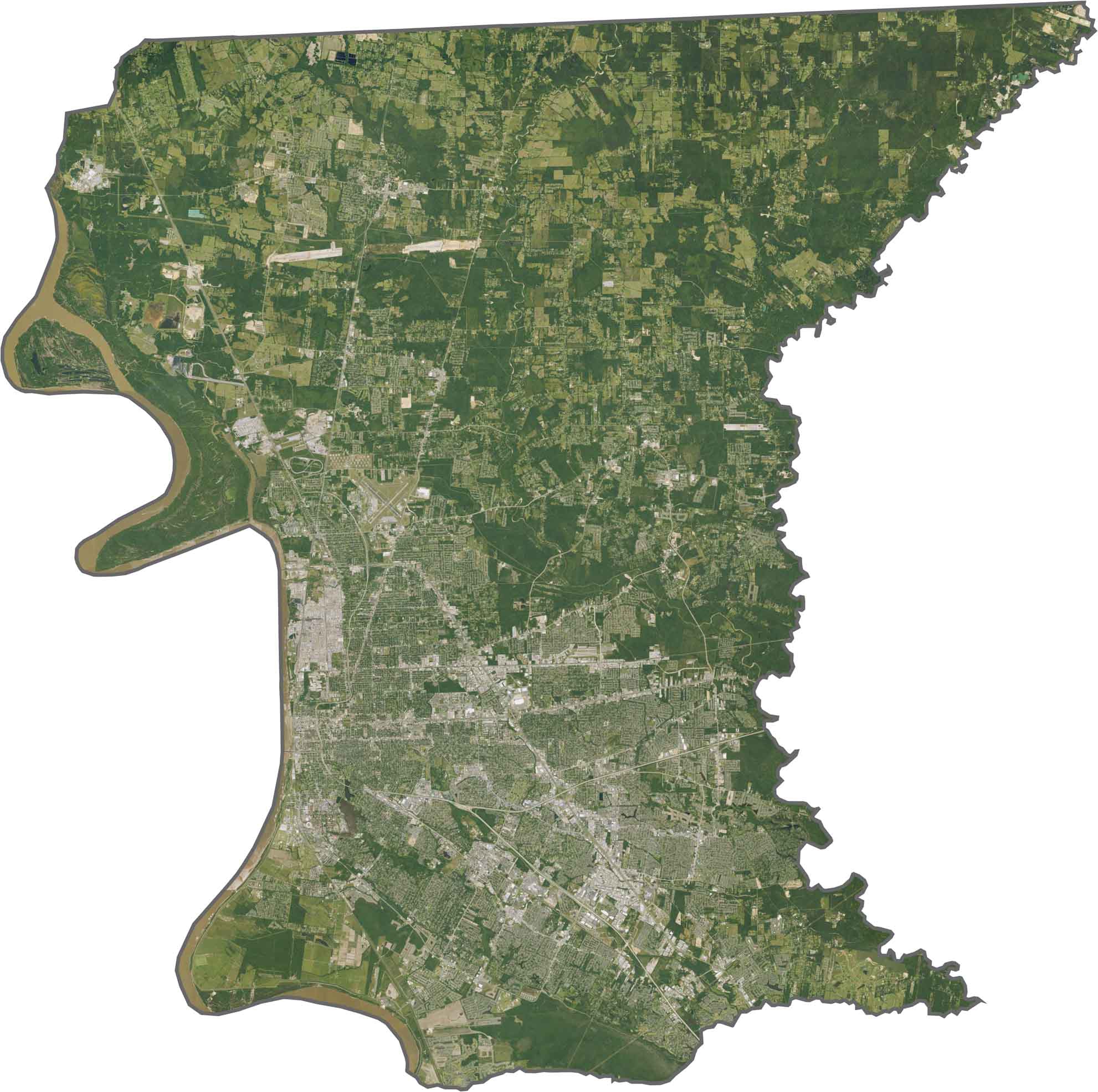
The Mississippi River dominates the western side of the parish, with the extensive urban development of Baton Rouge clearly visible along its banks. Moving northward, the landscape gradually transitions from developed areas to farmland and open countryside.
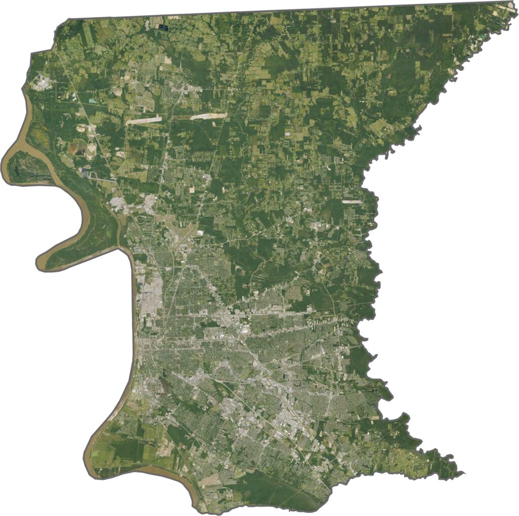
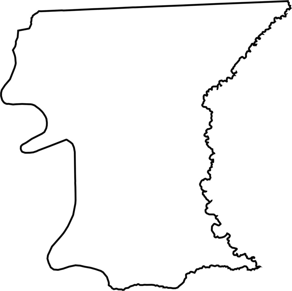
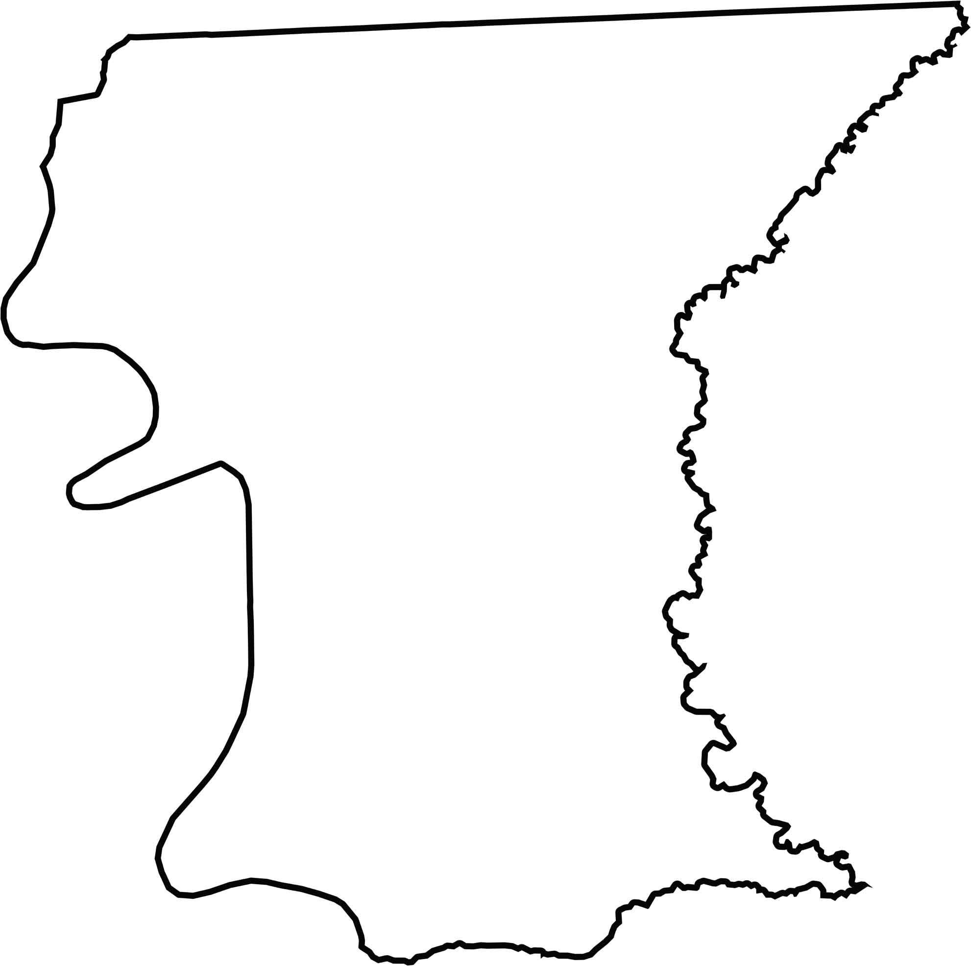
The Amite River helps form the eastern boundary, while the Mississippi River curves along the western edge. East Baton Rouge Parish is entirely within Louisiana and is surrounded by West Baton Rouge, Iberville, Ascension, and Livingston parishes.






In Louisiana, you’ll taste the spirit of the state in its hot sauce and hear it in the midnight blues. Laissez les bon temps rouler! Explore our Louisiana parish maps to discover the state’s unique communities, winding bayous, and rich landscapes. Come for the beignets. Stay for the bayou.