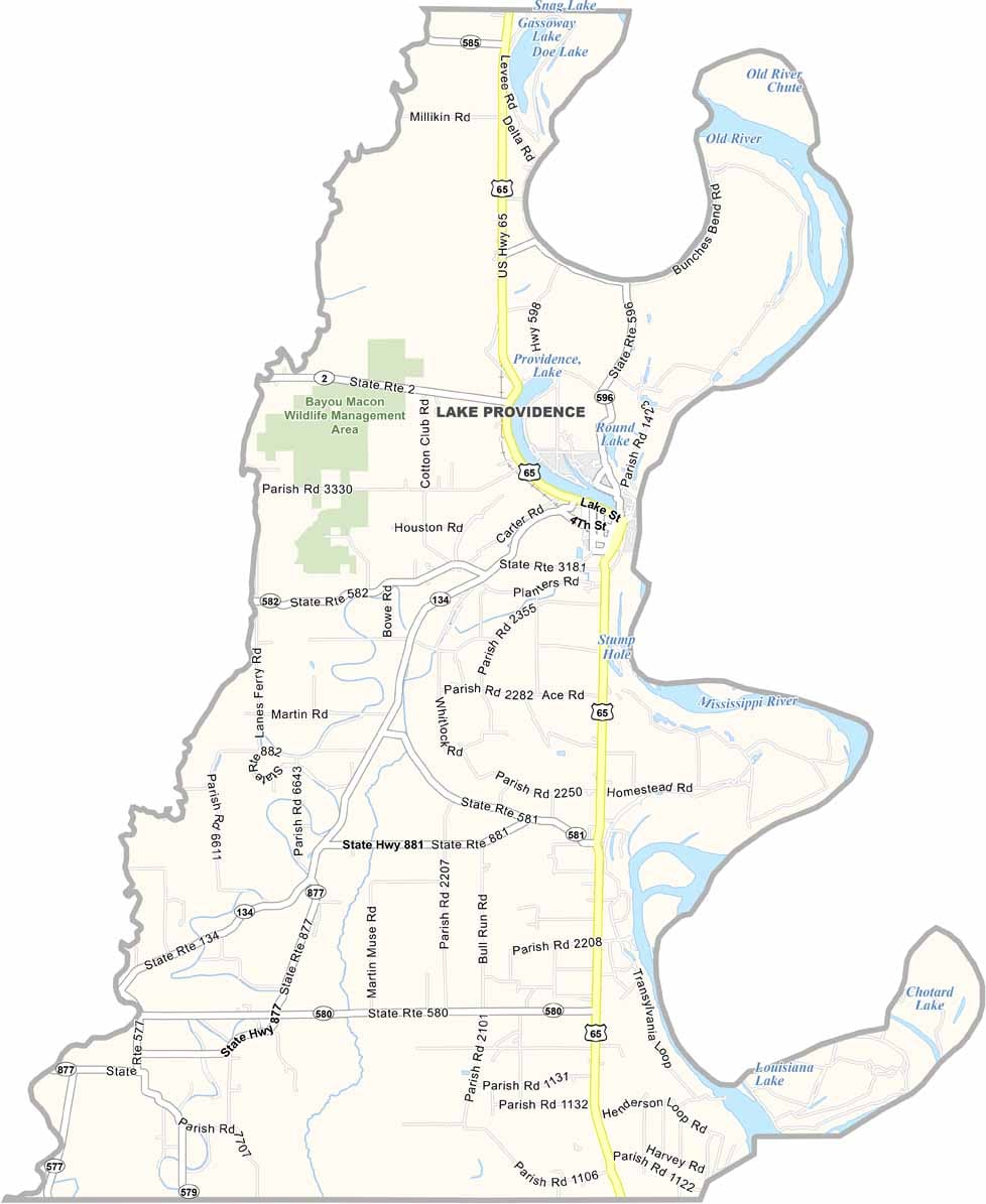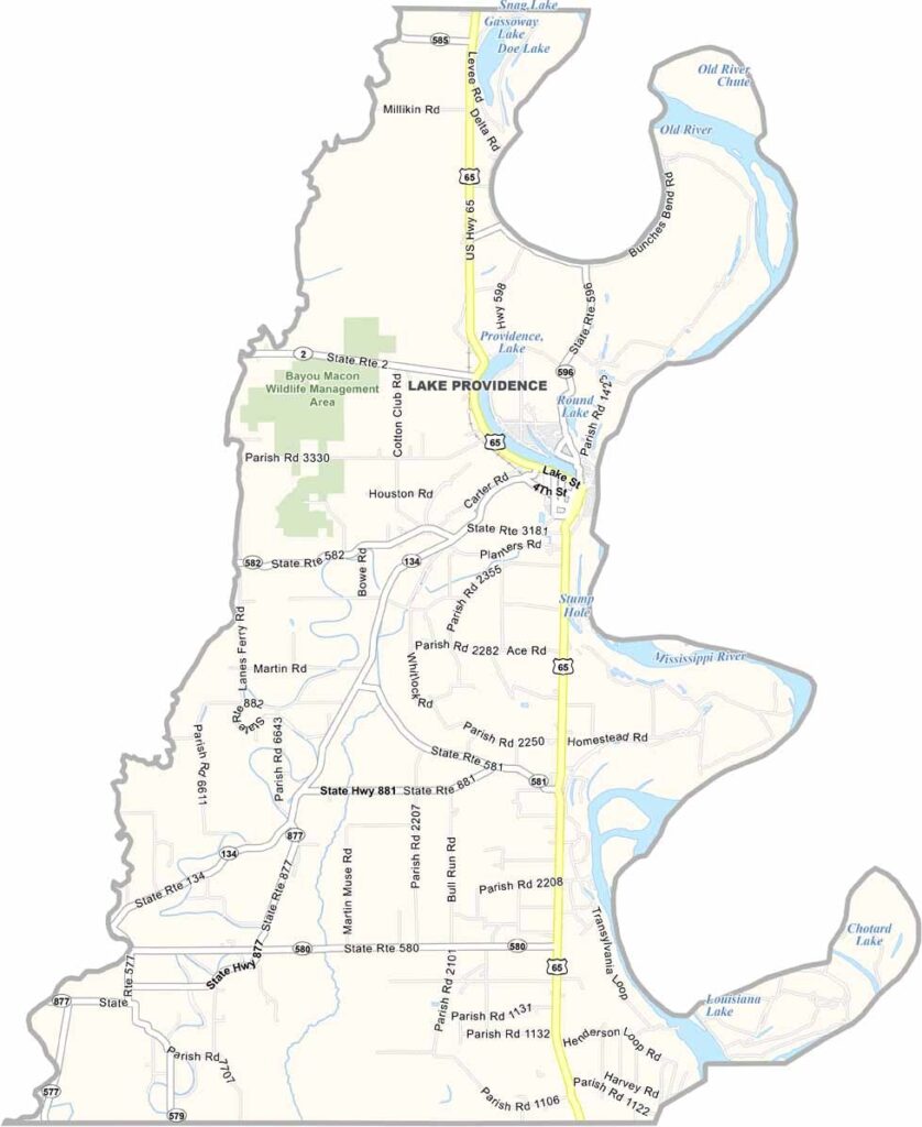
East Carroll Parish, Louisiana

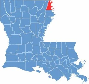
East Carroll Parish sits in the northeastern corner of Louisiana, along the Mississippi River. This small, rural parish has a rich history and deep agricultural roots, with wide-open landscapes shaped by the river and surrounding farmland.

Fishing remains a popular pastime, while agriculture continues to play an important role in the local economy. Cotton and soybeans are among the primary crops grown across the parish, reflecting its long-standing connection to farming.

Like many rural areas, East Carroll Parish has experienced population decline over the years. Despite these challenges, the parish maintains a strong sense of community, with neighbors looking out for one another. On clear days, the views along the Mississippi River offer a striking reminder of the natural beauty that surrounds the area.

CategoryDetails
Parish NameEast Carroll Parish
Parish SeatLake Providence
EtymologyNamed after Charles Carroll of Carrollton, a signer of the Declaration of Independence
Cities, Towns, and CommunitiesLake Providence, Transylvania, Sondheimer, Monticello, Alsatia
Interstates and HighwaysUS-65, LA-2, LA-17
FIPS Code22-035
Total Area (Land and Water)442 square miles (421 sq mi land, 21 sq mi water)
Adjacent Parishes (and Direction)Chicot County, Arkansas (North), Issaquena County, Mississippi (East), Warren County, Mississippi (Southeast), Madison Parish (South), Richland Parish (Southwest), West Carroll Parish (West)
Time ZoneCentral Time Zone (CT)
StateLouisiana
Coordinates32.7374° N, 91.2393° W
Major LandmarksLake Providence, Panola Pepper Company, Grant’s Canal, Poverty Point Reservoir State Park, Civil War Earthworks at Lake Providence
PopulationApproximately 6,500
Scroll to Top