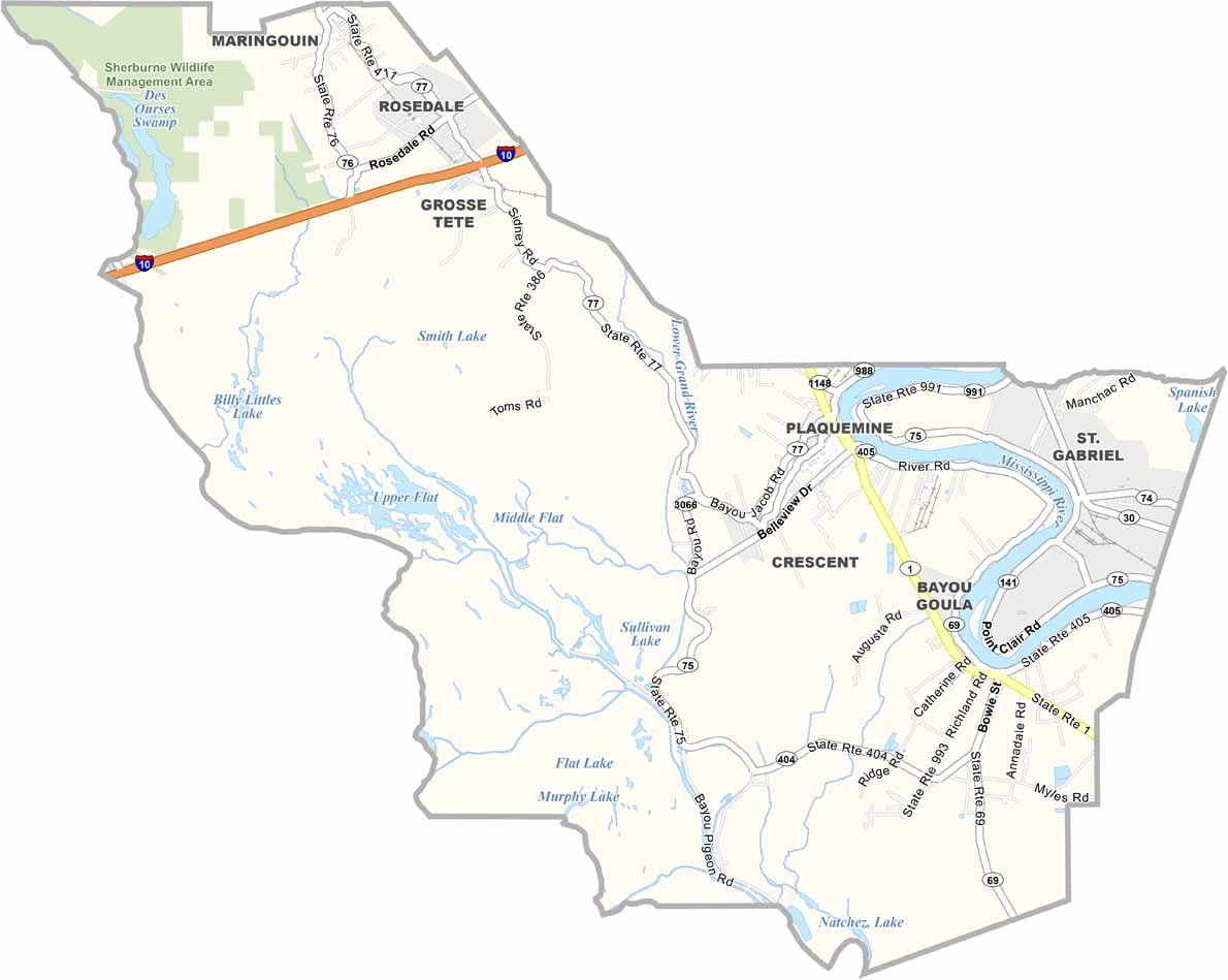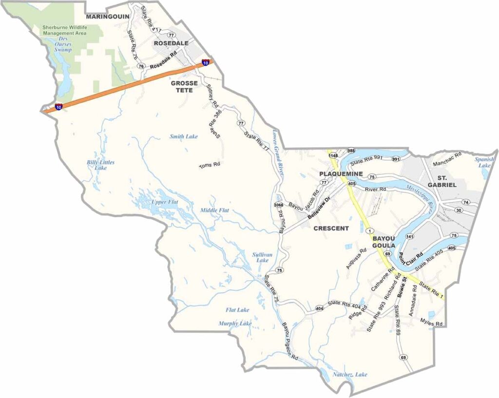
Iberville Parish, Louisiana

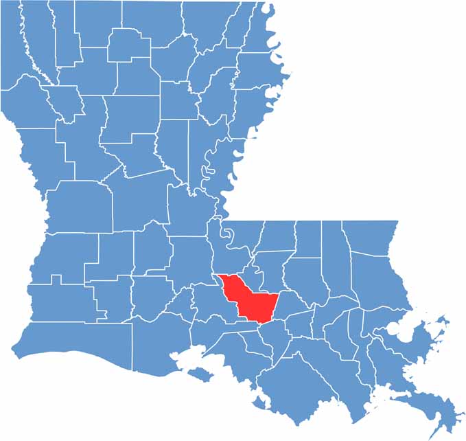
Iberville Parish is a place where Louisiana history and natural beauty come together. Located just across the Mississippi River from Baton Rouge, it offers an easy connection to the state capital while maintaining a distinctly rural character.

The parish is named after Pierre Le Moyne d’Iberville, the French-Canadian explorer associated with the early French settlement of Louisiana. The Atchafalaya Basin, one of the largest river swamps in the United States, forms much of the parish’s western landscape and provides a rich habitat for wildlife.

The parish features a mix of small towns, rural communities, and wetlands, including Plaquemine, the parish seat, and St. Gabriel. The waterways and forests of Iberville Parish provide excellent opportunities for fishing, hunting, boating, and airboat tours, making it a popular destination for outdoor enthusiasts.

CategoryDetails
Parish NameIberville Parish
Parish SeatPlaquemine
EtymologyNamed after Pierre Le Moyne d’Iberville, a French explorer and founder of the French colony of Louisiana
Cities, Towns, and CommunitiesPlaquemine, St. Gabriel, White Castle, Grosse Tête, Maringouin, Rosedale, Bayou Sorrel, Bayou Pigeon
Interstates and HighwaysI-10, LA-1, LA-30, LA-75, LA-77
FIPS Code22-047
Total Area (Land and Water)653 square miles (619 sq mi land, 34 sq mi water)
Adjacent Parishes (and Direction)Pointe Coupee Parish (Northwest), West Baton Rouge Parish (North), East Baton Rouge Parish (Northeast), Ascension Parish (East), Assumption Parish (Southeast), Iberia Parish (South), St. Martin Parish (West)
Time ZoneCentral Time Zone (CT)
StateLouisiana
Coordinates30.2896° N, 91.4066° W
Major LandmarksPlaquemine Lock State Historic Site, Nottoway Plantation, Bayou Plaquemine Waterfront Park, Iberville Museum, St. John the Evangelist Catholic Church
PopulationApproximately 32,000
Scroll to Top