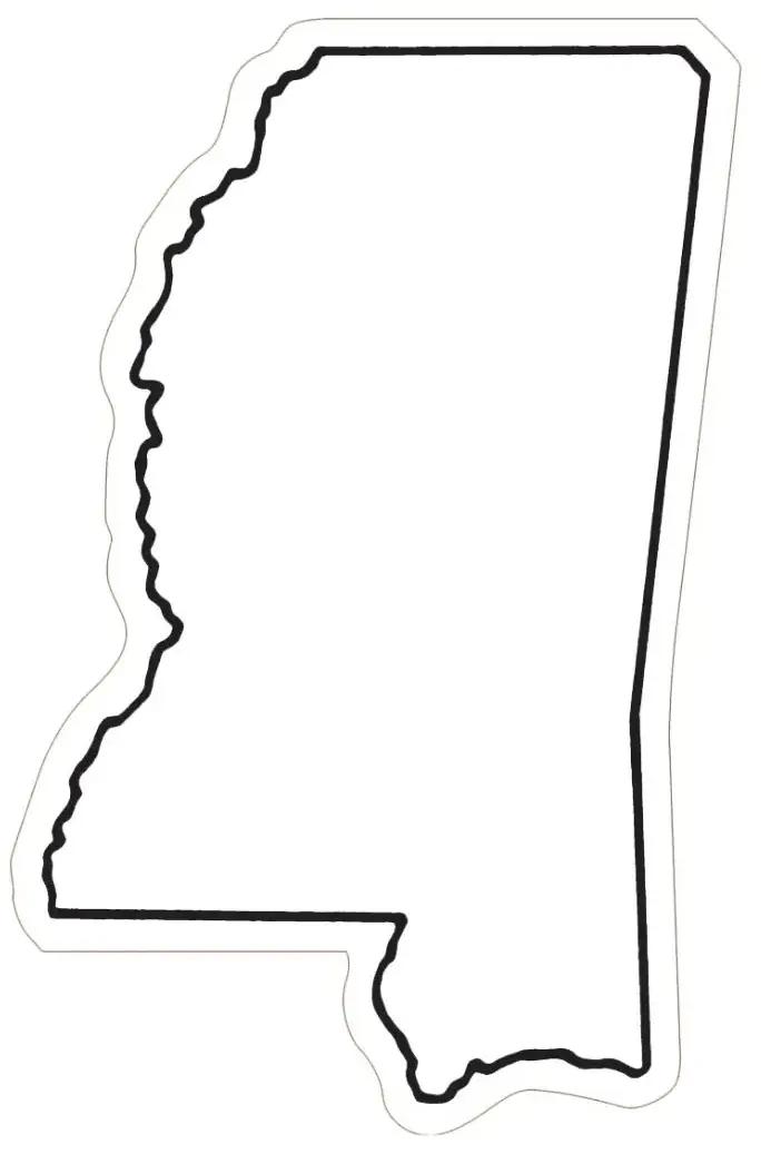
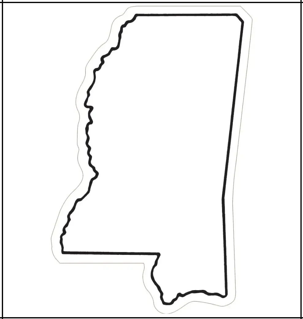
A Blank Mississippi Map is a widely used educational and reference tool that features an unlabeled outline of the state. Suitable for students, teachers, researchers, and travelers, it provides a simple visual representation of Mississippi that can be customized with user-added information. This type of map is commonly used in classroom geography lessons, activities, and quizzes to help identify major cities, counties, rivers, and transportation routes. It also supports educators in teaching students about the state’s physical layout and regional divisions in a clear and interactive way.
Like the blank Mississippi map, these templates are also useful beyond the classroom, serving purposes such as presentations, travel planning, and historical research. Travelers can mark destinations or routes of interest, while researchers can use the map to analyze spatial data and identify patterns or trends. Its clean, simple format makes it highly adaptable, allowing users to customize it for a wide range of personal or professional needs.Available in both printed and digital formats, a Blank Mississippi Map is a flexible and practical tool. Given the state’s rich cultural history and natural beauty, this blank format provides an interactive way to explore, organize, and engage with information about Mississippi in a dynamic and meaningful way.
It is a U.S. state in the southern region known for its rich historical significance, cultural heritage, and major influence on modern music, especially the blues. Bordered to the west by the Mississippi River, the state features a variety of landscapes, including fertile delta farmland, lush forests, and scenic coastal areas. Jackson, the capital and largest city, serves as both a cultural and economic hub.
Mississippi has played an important role in many key moments of American history, including the Civil War and the Civil Rights Movement. Today, its economy is supported by sectors such as agriculture, manufacturing, and energy. Known for its historic towns, warm hospitality, and enduring traditions, Mississippi offers a strong sense of Southern culture and provides a glimpse into the region’s historical and cultural heritage.
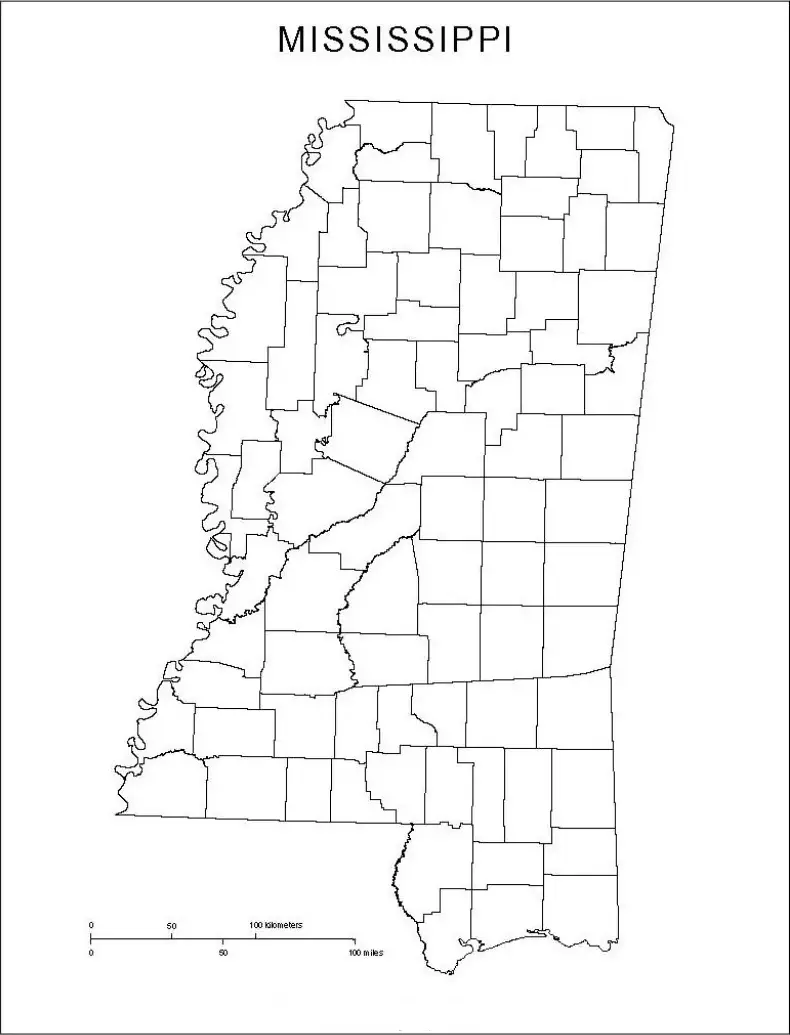
When completed, it becomes a valuable learning resource for understanding this beautiful southern state. These worksheets typically include a blank outline of Mississippi along with county divisions, major cities, rivers, and landmarks. Students can label counties, identify cities such as Jackson and Biloxi, and trace important waterways like the Mississippi River.

A Mississippi map worksheet is ideal for both classroom and homeschool settings, offering an engaging and interactive way for students to learn. Learners can color, label, and interpret maps while exploring the state’s geography. It is especially useful for teaching Mississippi’s physical and political features, strengthening spatial awareness, and preparing students for quizzes and assignments. Overall, a Mississippi map worksheet provides an effective and hands-on approach to learning about the Magnolia State.
The Mississippi outline map is a simple, unmarked representation of the state that shows its overall shape and borders. This blank map helps students, teachers, and researchers visualize Mississippi’s location within the United States, identify its neighboring states—such as Louisiana, Arkansas, Alabama, and Tennessee—and recognize key geographic features.
In geography lessons, a Mississippi map outline is ideal for labeling counties, cities, rivers, and landmarks. It can also be used for map quizzes, travel planning, and historical research activities. The outline map offers a hands-on learning experience while clearly presenting the state’s geographic structure and features.

