
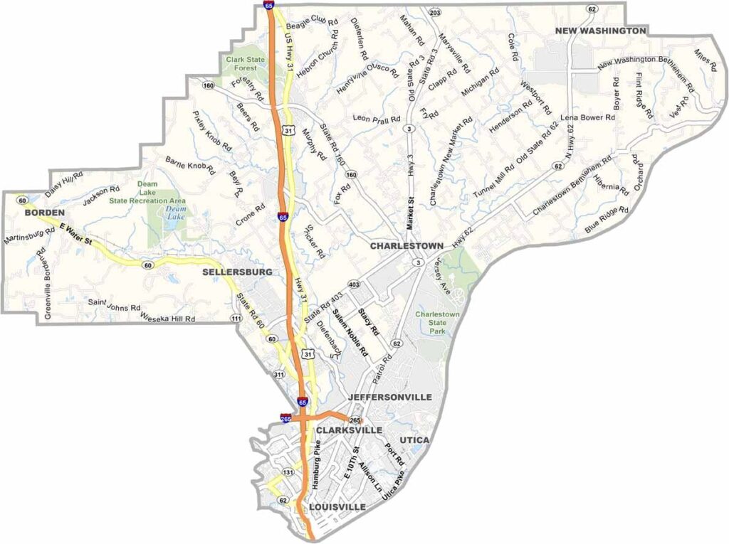
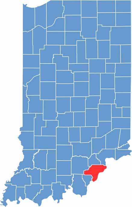
Clark County sits along the Ohio River, directly across from Louisville, Kentucky, giving it a unique connection to both Indiana and its southern neighbor. The county is also associated with Colonel Harland Sanders, the founder of KFC, who was born in Henryville. But its story goes well beyond its famous connection to fried chicken.
The area has a rich historical heritage, including connections to George Rogers Clark and his former home. Deam Lake State Recreation Area is another popular destination, featuring a large lake surrounded by wooded scenery and opportunities for swimming, picnicking, and fishing.
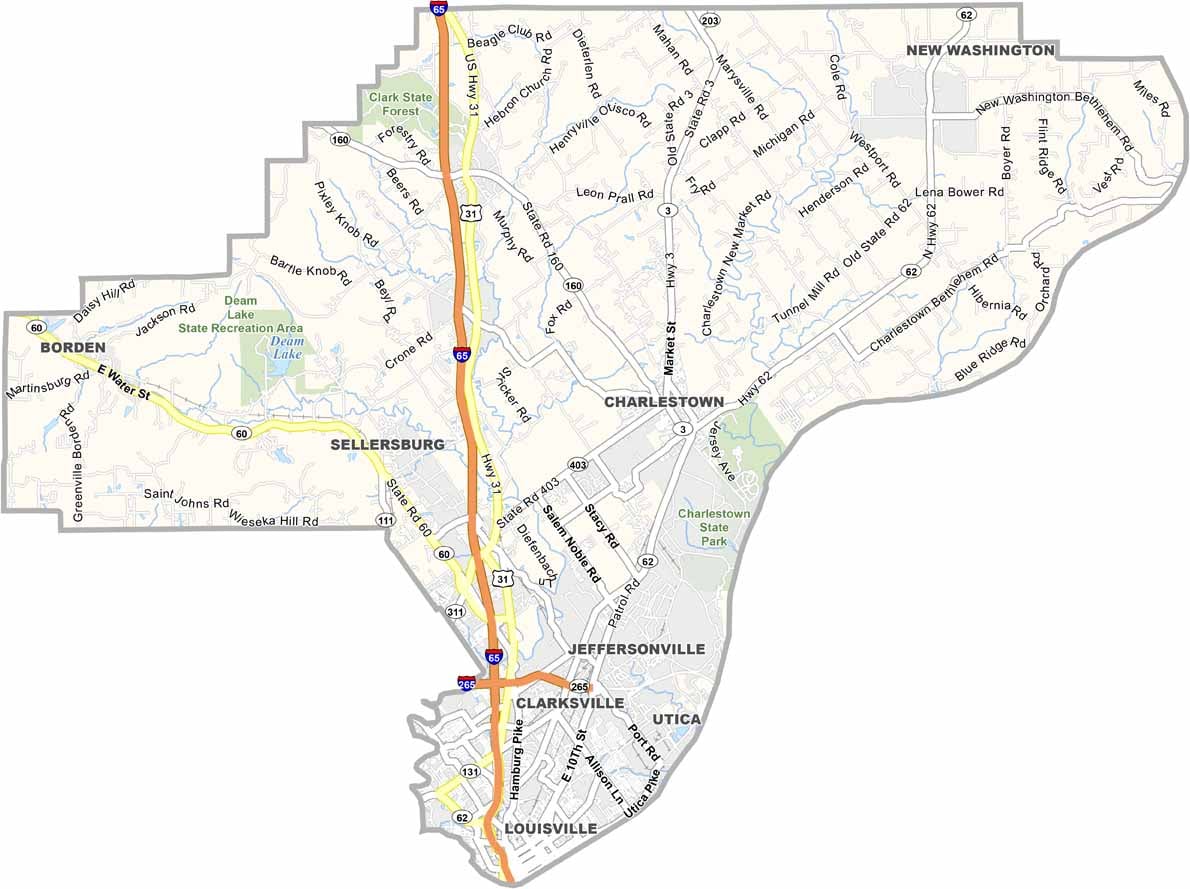
Today, Clark County blends suburban communities with rural landscapes. The Ohio River remains an important part of the area, now supporting bridges, boating, and transportation rather than the conflicts of the past. Clarksville and Jeffersonville are among the county’s largest communities, giving Clark County a distinctive character shaped by both Indiana and Kentucky influences.
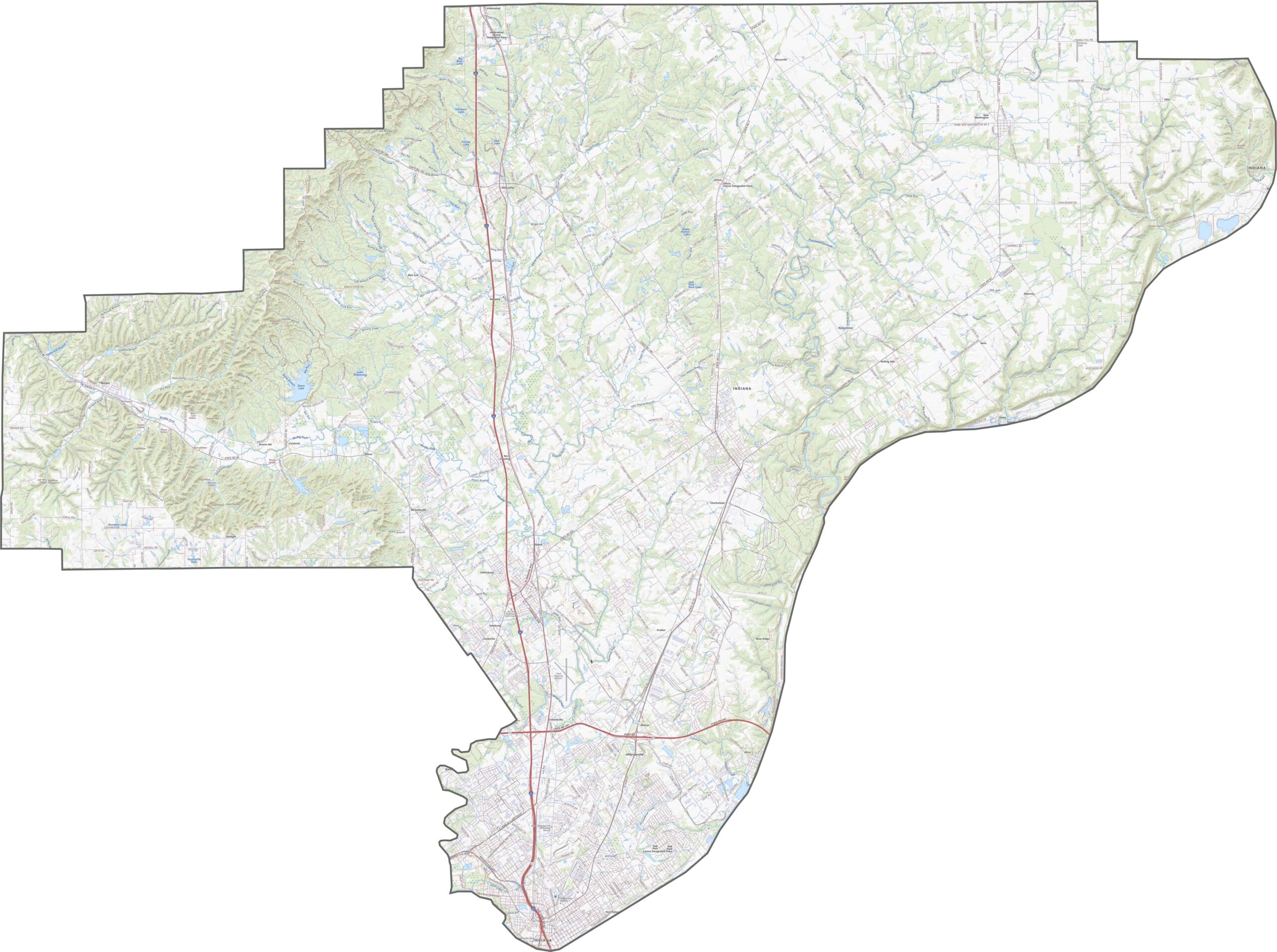
Clark County’s landscape is defined by rolling hills that gradually slope toward the Ohio River. Steep bluffs line parts of the riverfront, while flatter plains extend farther inland. The terrain also includes floodplains and forested hills, creating a varied natural setting.
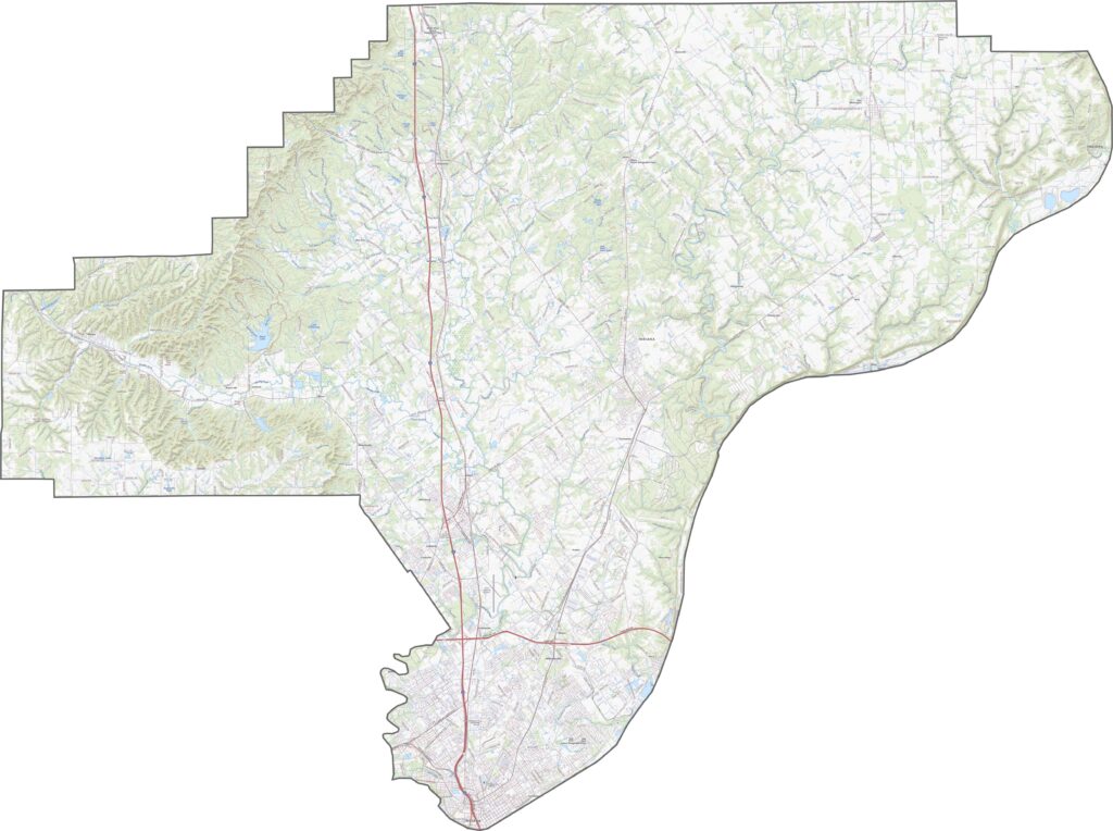
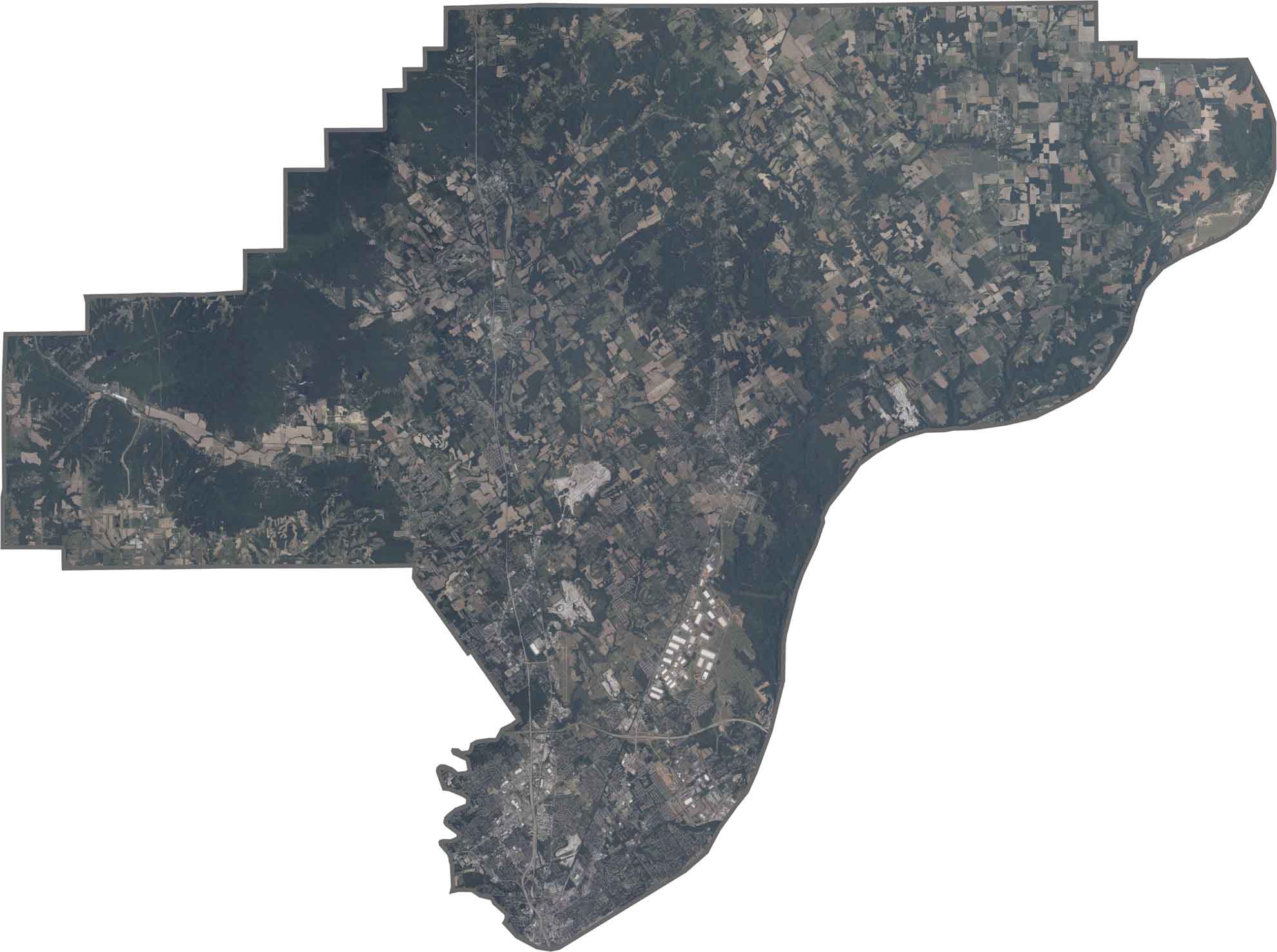
Jeffersonville and Clarksville form dense urban areas along the Ohio River, with noticeable elevation changes where the land drops toward the water. The river creates a broad, dark boundary across the landscape, while bridges connecting Indiana and Kentucky provide important transportation links.
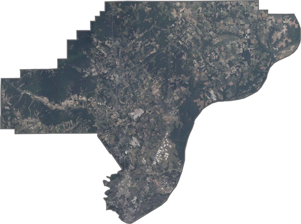
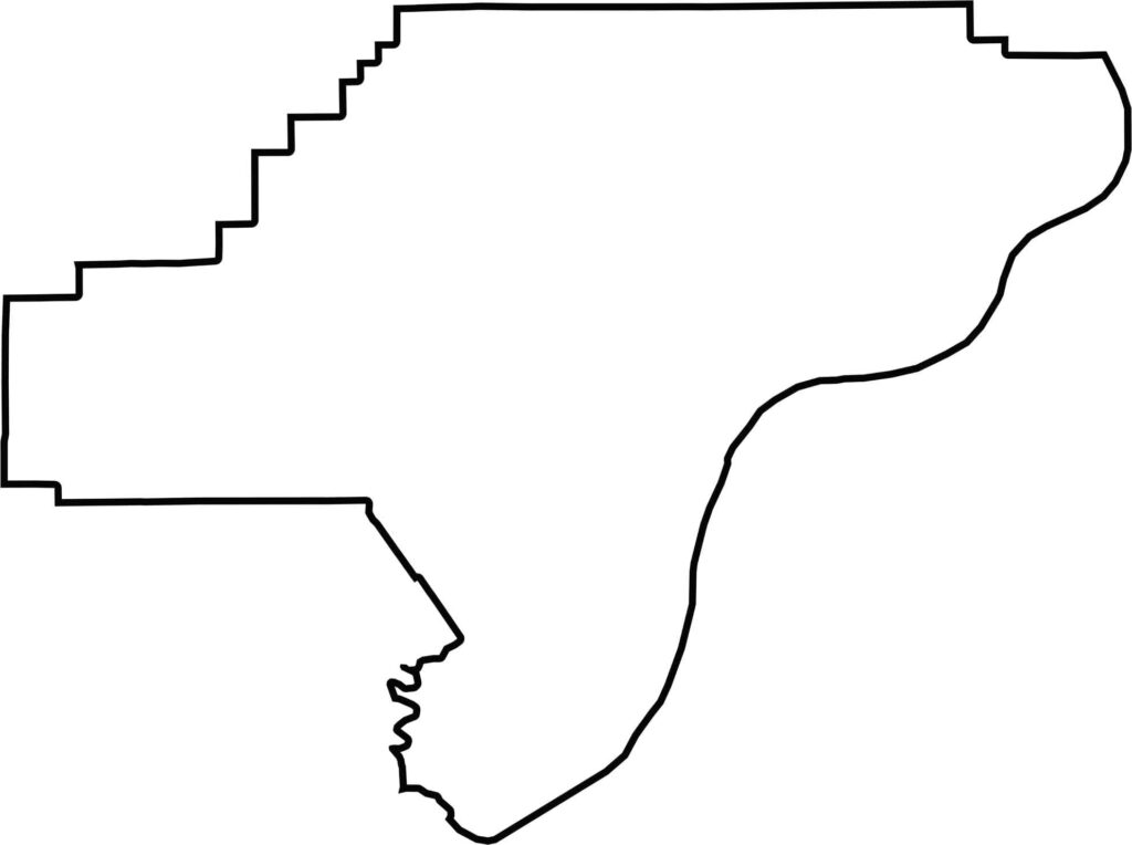
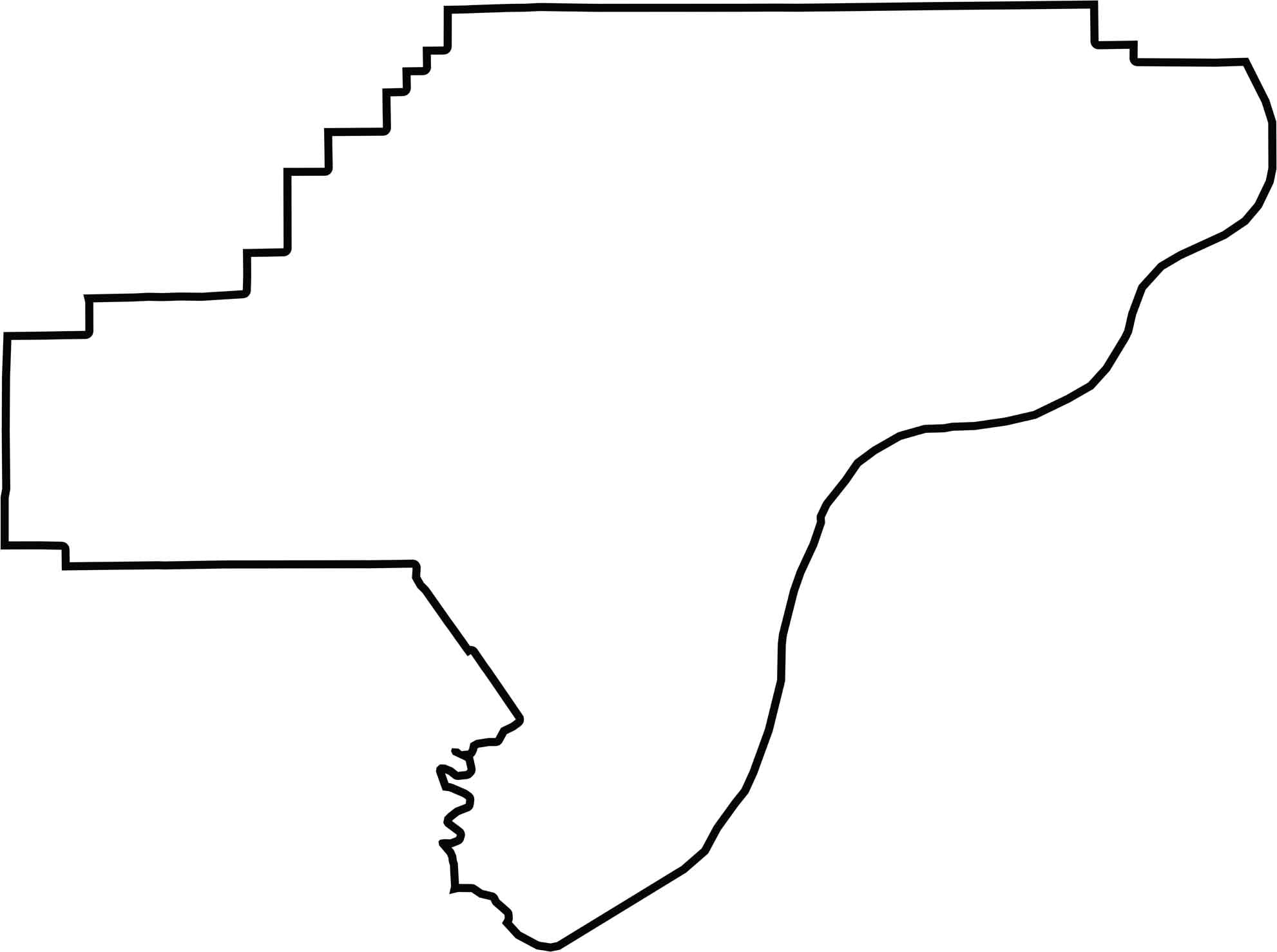
The Clark County outline is irregular, with the Ohio River forming the entire eastern border and creating the county’s boundary with Kentucky. The remaining edges border other Indiana counties, while no other major rivers define its boundaries.






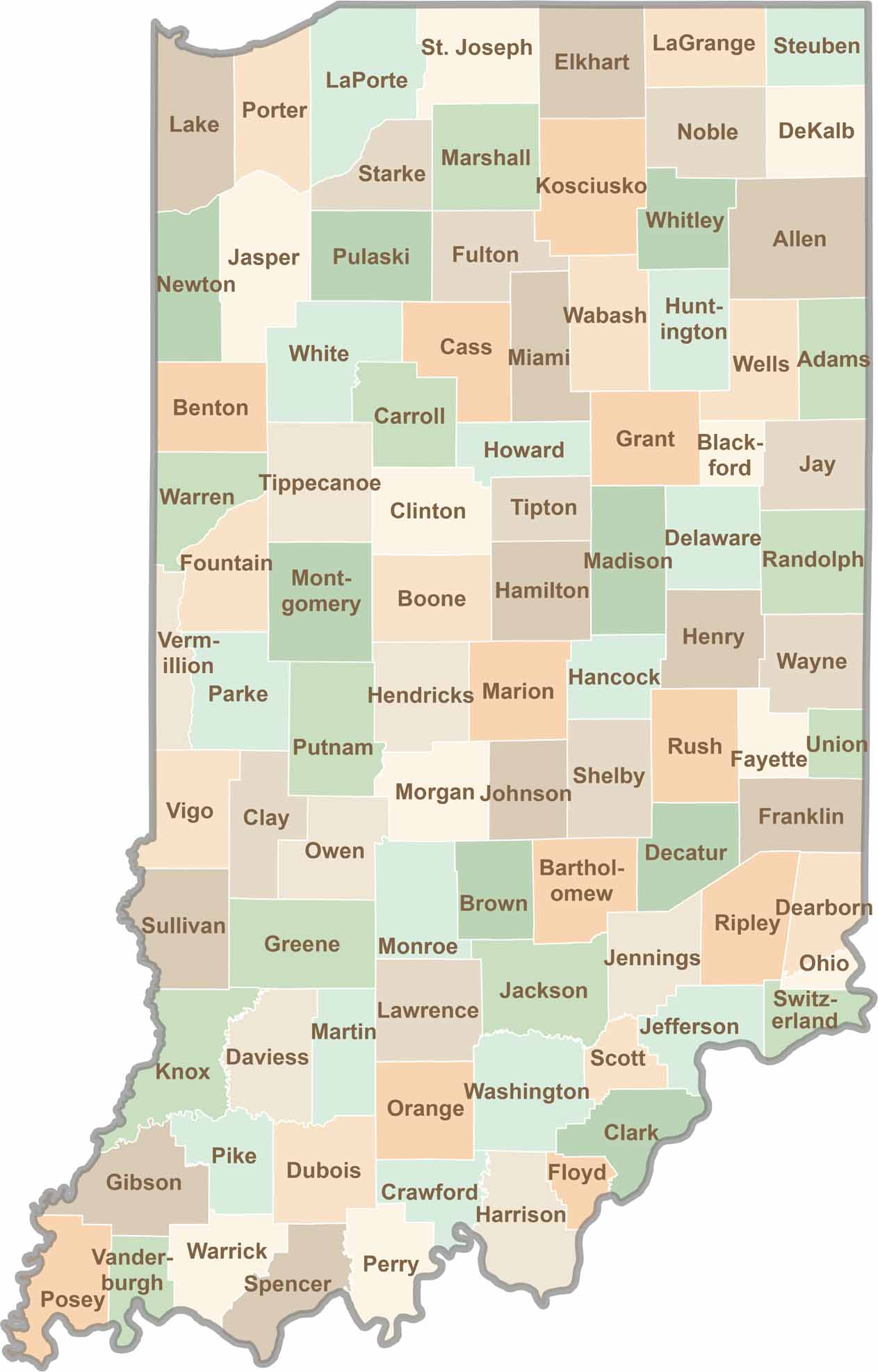
Explore the Hoosier State, home to 92 counties filled with scenic backroads, impressive skyline views, and charming small towns. Think of this as your glovebox passport to Indiana, guiding you to classic diner pies, covered bridges, and stunning Lake Michigan sunsets.