
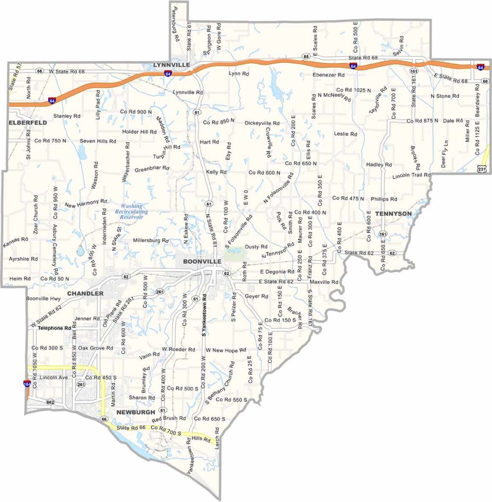
Warrick County, Indiana

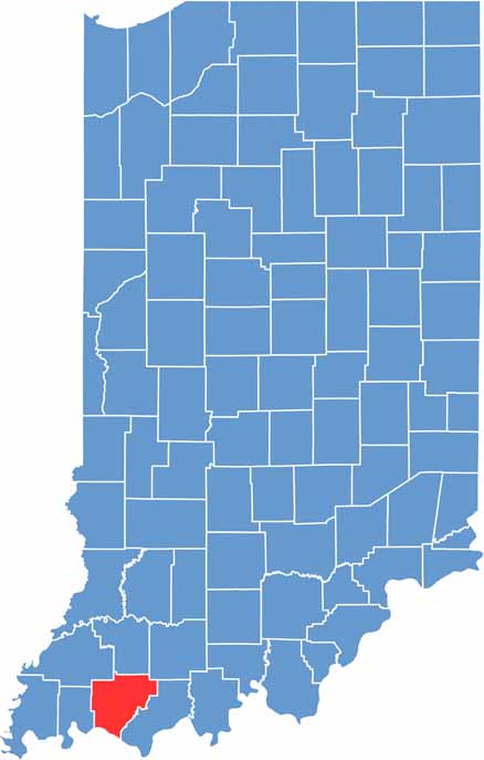
Warrick County sits in the southwestern corner of Indiana, right along the Ohio River. Boonville is the county seat, blending small-town charm with growing suburban areas.

The county’s eastern edge brushes against Evansville, Indiana’s third-largest city. Coal mining shaped much of Warrick’s past, and remnants of that history are still visible across the landscape. Newburgh, perched along the Ohio River, draws visitors with its historic downtown.

Cypress swamps in the south create a unique ecosystem for wildlife lovers. Warrick County’s population has boomed in recent decades, but subdivisions now occupy some of the land that was once farmland.

CategoryDetails
County NameWarrick County
County SeatBoonville
EtymologyNamed after Captain Jacob Warrick, who was killed at the Battle of Tippecanoe
Cities, Towns, and CommunitiesBoonville, Newburgh, Chandler, Elberfeld, Lynnville, Tennyson, Yankeetown, Folsomville, Pelzer
Interstates and HighwaysI-64, IN-61, IN-62, IN-66, IN-68, IN-161
FIPS Code18-173
Total Area (Land and Water)391 square miles (Land: 384 sq mi, Water: 7 sq mi)
Adjacent Counties (and Direction)Pike County (North), Dubois County (Northeast), Spencer County (East), Daviess County, Kentucky (Southeast), Henderson County, Kentucky (South), Vanderburgh County (West), Gibson County (Northwest)
Time ZoneCentral Time Zone (CT)
Population68,000 (estimated)
StateIndiana
Coordinates38.0425° N, 87.2718° W
Major LandmarksAngel Mounds State Historic Site, Newburgh Lock and Dam, Scales Lake Park, Alcoa Warrick Operations
Scroll to Top





