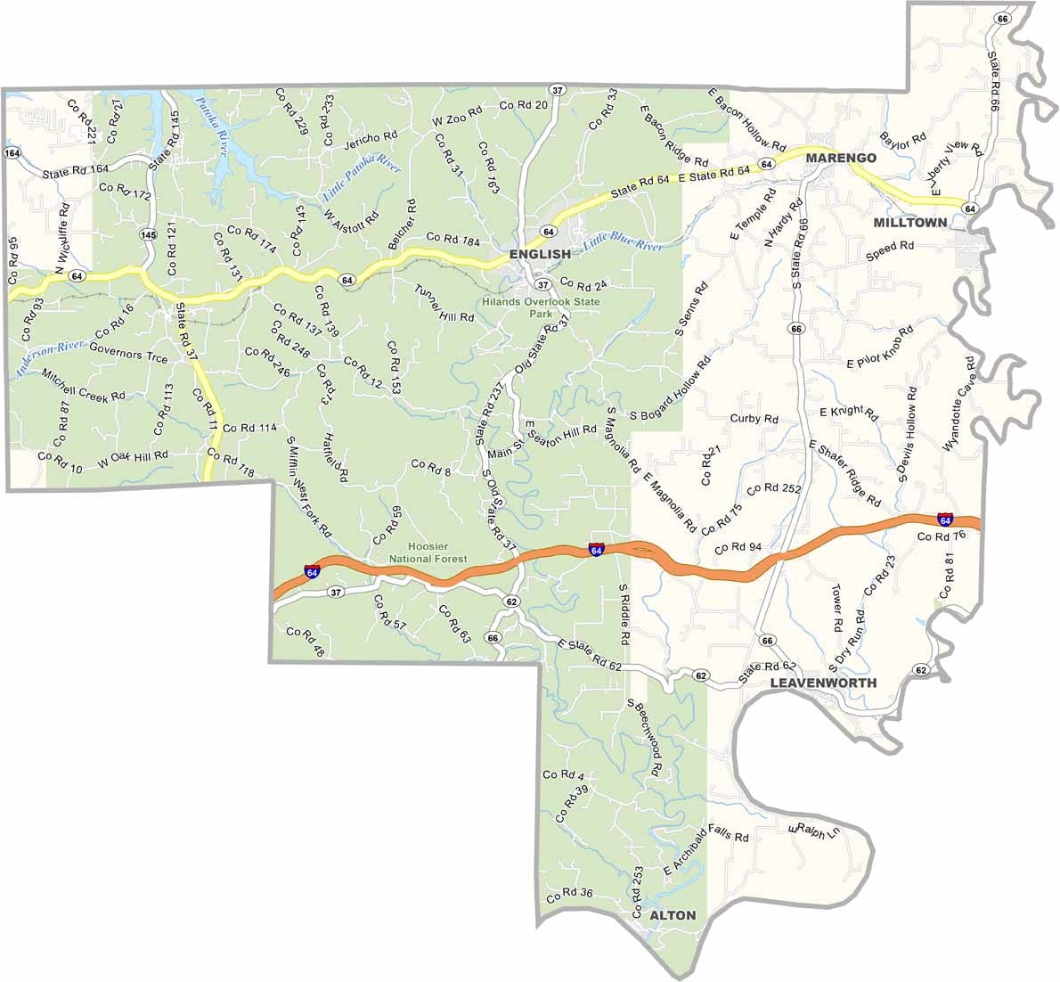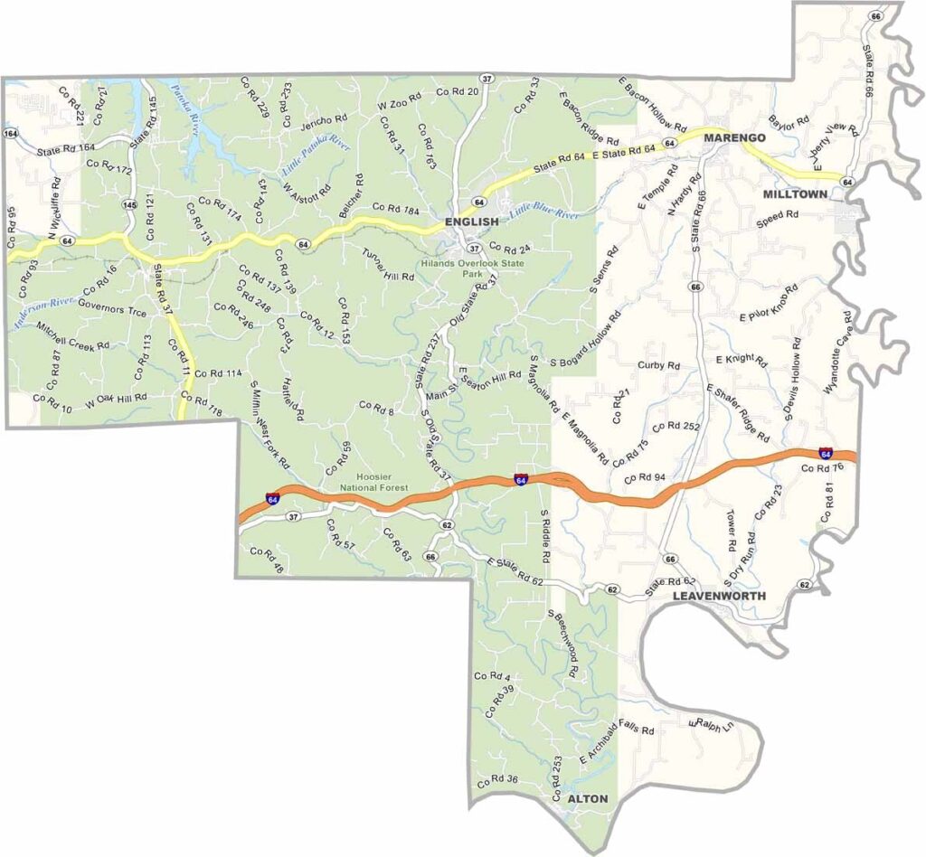
Crawford County, Indiana

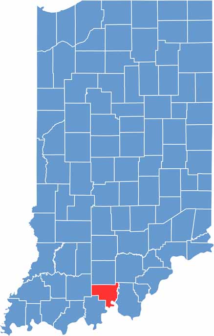
Crawford County is located in southern Indiana along the Ohio River and is one of the state’s least populated counties. Its rural and rugged landscape gives the county a distinctly independent and peaceful character.

A large portion of eastern Crawford County is covered by the Hoosier National Forest, which helps explain its low population while providing abundant opportunities for hiking, camping, and outdoor recreation. The forested terrain is a defining feature of the county.

Marengo Cave is Crawford County’s best-known attraction and has been designated a National Natural Landmark. With its secluded communities and remote setting, the county offers a rare glimpse of untouched rural Indiana—there isn’t even a stoplight in the entire county.

CategoryDetails
County NameCrawford County
County SeatEnglish
EtymologyNamed after William Crawford, a surveyor of the Midwest
Cities, Towns, and CommunitiesEnglish, Marengo, Leavenworth, Milltown, Alton, Taswell, Grantsburg, Wickliffe
Interstates and HighwaysI-64, IN-37, IN-62, IN-64, IN-66
FIPS Code18-025
Total Area (Land and Water)308 square miles (Land: 305 sq mi, Water: 3 sq mi)
Adjacent Counties (and Direction)Orange County (North), Washington County (Northeast), Harrison County (East), Meade County, Kentucky (South), Perry County (Southwest), Dubois County (West)
Time ZoneEastern Time Zone (ET)
StateIndiana
Coordinates38.2856° N, 86.4603° W
Major LandmarksHoosier National Forest, Wyandotte Caves, Patoka Lake, Hemlock Cliffs Recreation Area
Population10,500 (estimated)
Scroll to Top