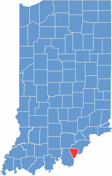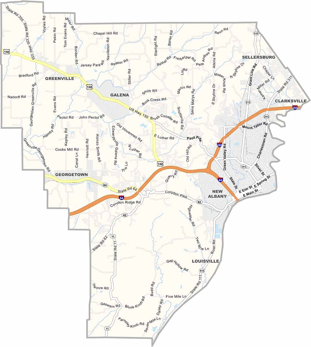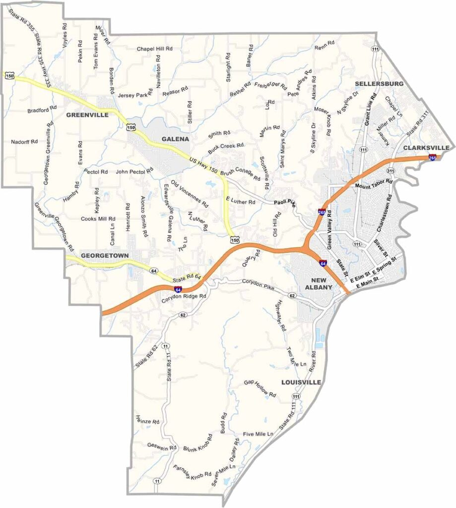
Floyd County stands apart from the typical Indiana landscape, with its rolling hills and rugged terrain shaped by the Ohio River Valley in the southeastern part of the state. The county’s elevated terrain and river valleys create a scenic setting unlike much of Indiana’s flatter countryside.
New Albany, the county seat, sits along the Ohio River and has strong connections to nearby Louisville, Kentucky. The city features a charming historic downtown, while farms and rural landscapes begin just a few miles beyond the urban area, creating a blend of city and countryside.
Floyd County comes alive during summer with events such as the Harvest Homecoming Festival, while Floyd’s Knobs offers some of the area’s best scenic views. The county also has a rich local history, including connections to the Underground Railroad and the nearby George Rogers Clark Homestead.