Franklin County, Indiana

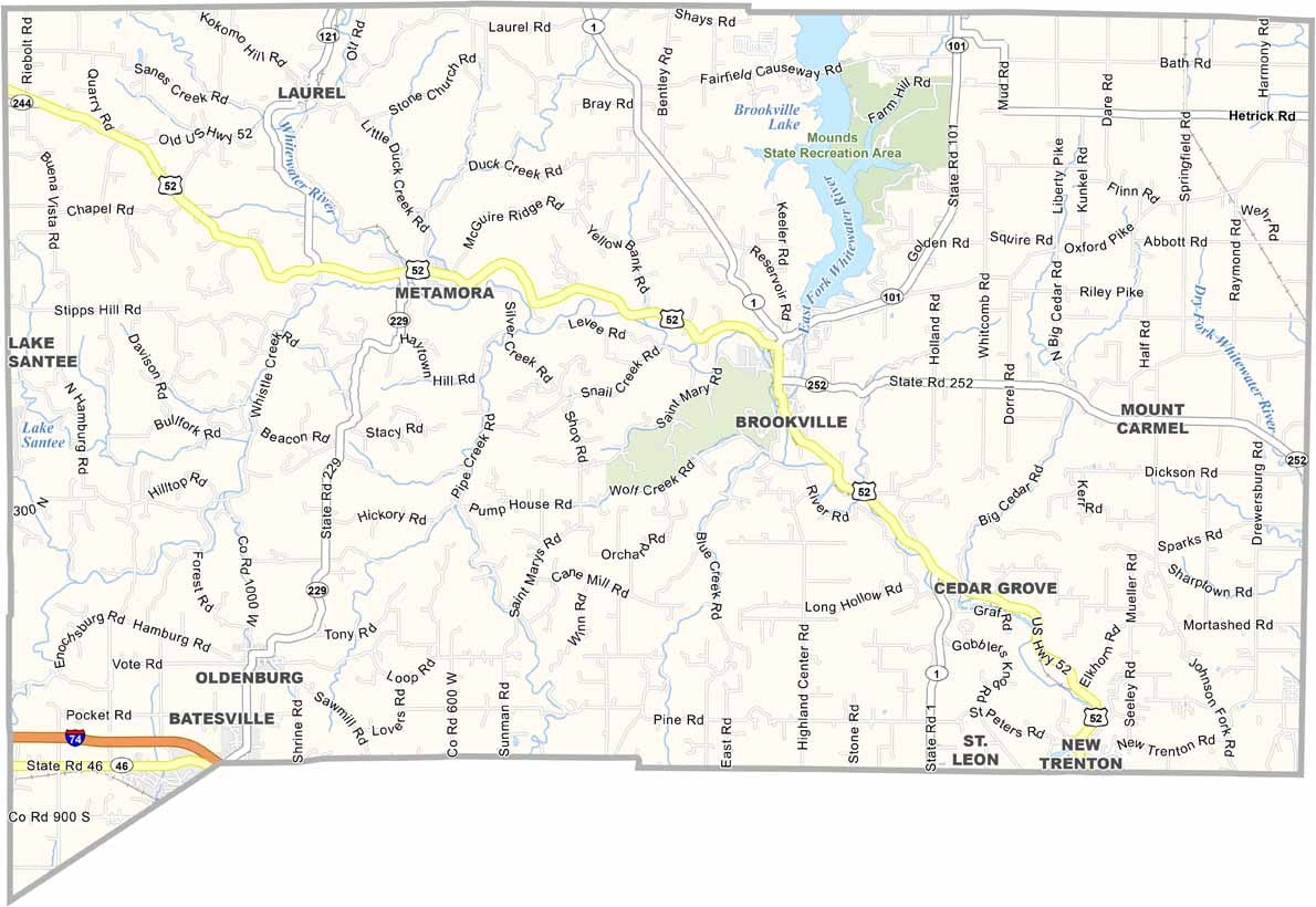
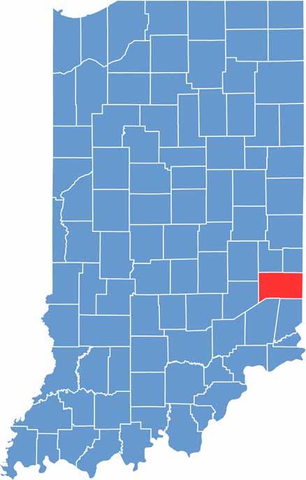
Franklin County is located in southeastern Indiana along the Ohio border, featuring a scenic mix of farmland, forests, and rolling hills. Its varied terrain gives the county a distinct landscape compared with much of the surrounding region.

Brookville, the county seat, is known for its charming downtown area and the nearby Brookville Lake, a popular destination for boating and other outdoor activities. The Whitewater River also flows through the county, making the area especially appealing for canoeing, kayaking, and fishing.

Metamora is a beautifully restored historic canal town that attracts visitors with its working grist mill, local shops, and historic atmosphere. Although Franklin County remains largely rural, its convenient location provides easy access to Cincinnati, making it a popular choice for a peaceful day trip or countryside getaway.

CategoryDetails
County NameFranklin County
County SeatBrookville
EtymologyNamed after Benjamin Franklin, one of the Founding Fathers of the United States
Cities, Towns, and CommunitiesBrookville, Batesville (partially), Cedar Grove, Oldenburg, Laurel, Metamora, Mount Carmel, New Trenton
Interstates and HighwaysI-74, US-52, IN-1, IN-46, IN-101
FIPS Code18-047
Total Area (Land and Water)391 square miles (Land: 384 sq mi, Water: 7 sq mi)
Adjacent Counties (and Direction)Fayette County (North), Union County (Northeast), Butler County, Ohio (East), Hamilton County, Ohio (Southeast), Dearborn County (South), Ripley County (Southwest), Decatur County (West), Rush County (Northwest)
Time ZoneEastern Time Zone (ET)
StateIndiana
Coordinates39.4231° N, 85.0123° W
Major LandmarksBrookville Lake, Whitewater Canal State Historic Site, Metamora Historic District, Franklin County Courthouse
Population23,500 (estimated)
Scroll to Top