
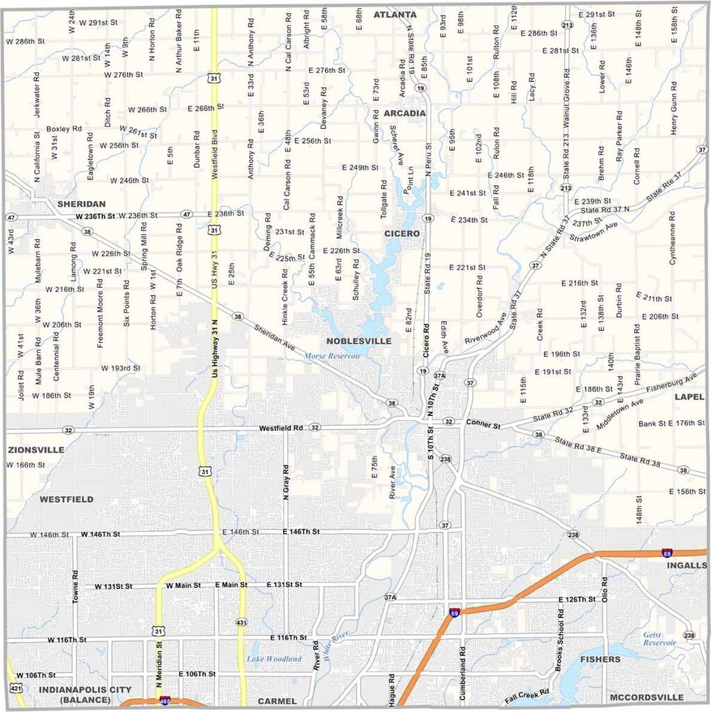
Hamilton County is a leading example of suburban growth in Indiana. Located just north of Indianapolis, it has become one of the state’s fastest-growing counties, known for top-rated schools, well-planned neighborhoods, shopping, and dining.
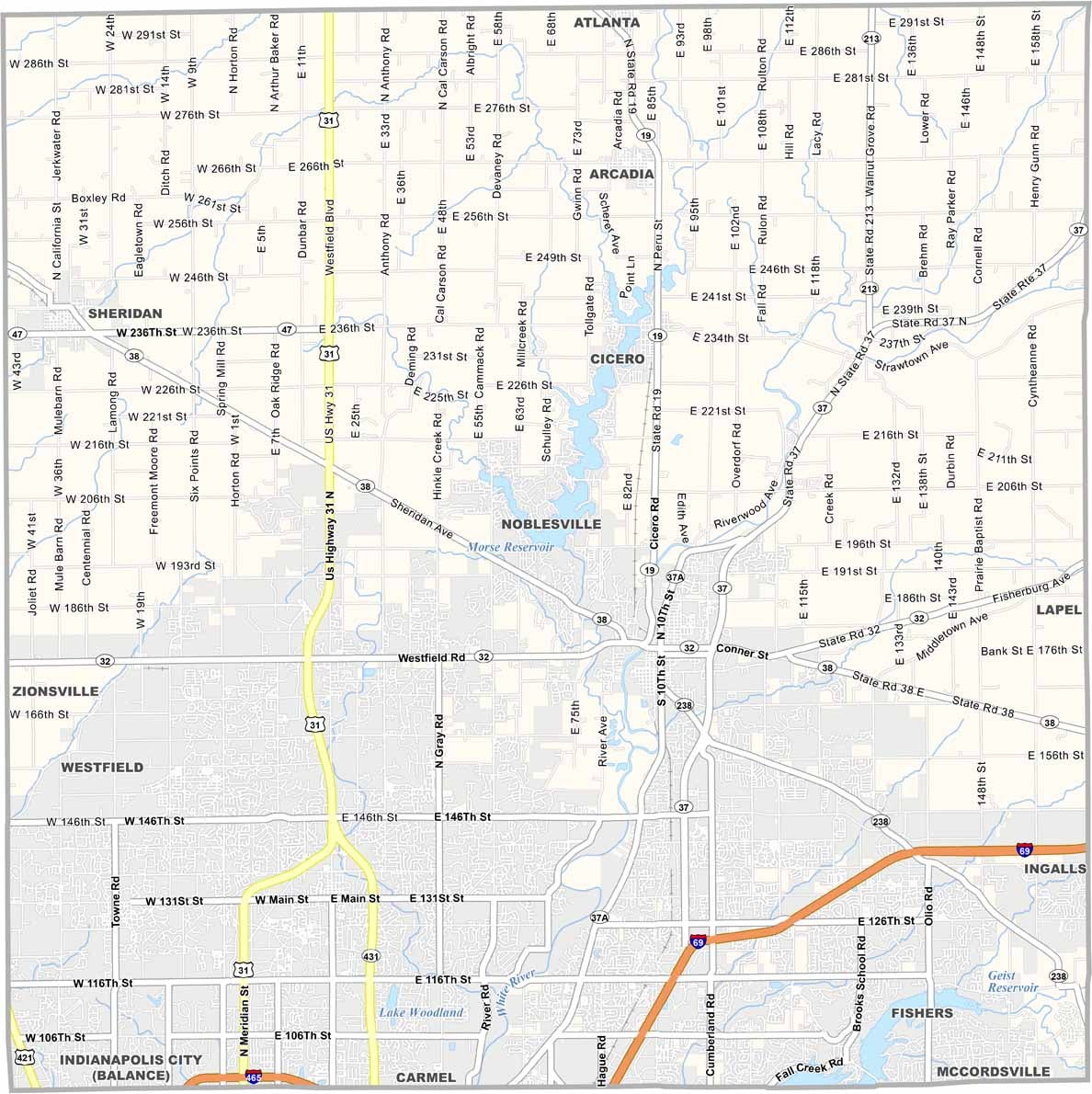
Carmel is one of the county’s best-known cities, recognized for its numerous roundabouts and upscale shopping districts. Noblesville, the county seat, combines modern development with a charming historic downtown square, creating a balance between new growth and local heritage.
Summers in Hamilton County are filled with entertainment, including concerts at Ruoff Music Center in Noblesville. Conner Prairie, a living history museum, offers visitors a look at 19th-century Indiana life, while the Monon Trail is a popular destination for jogging, cycling, and outdoor recreation.
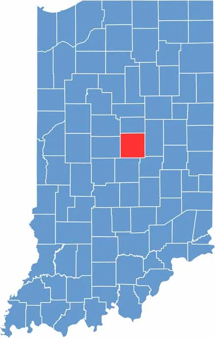
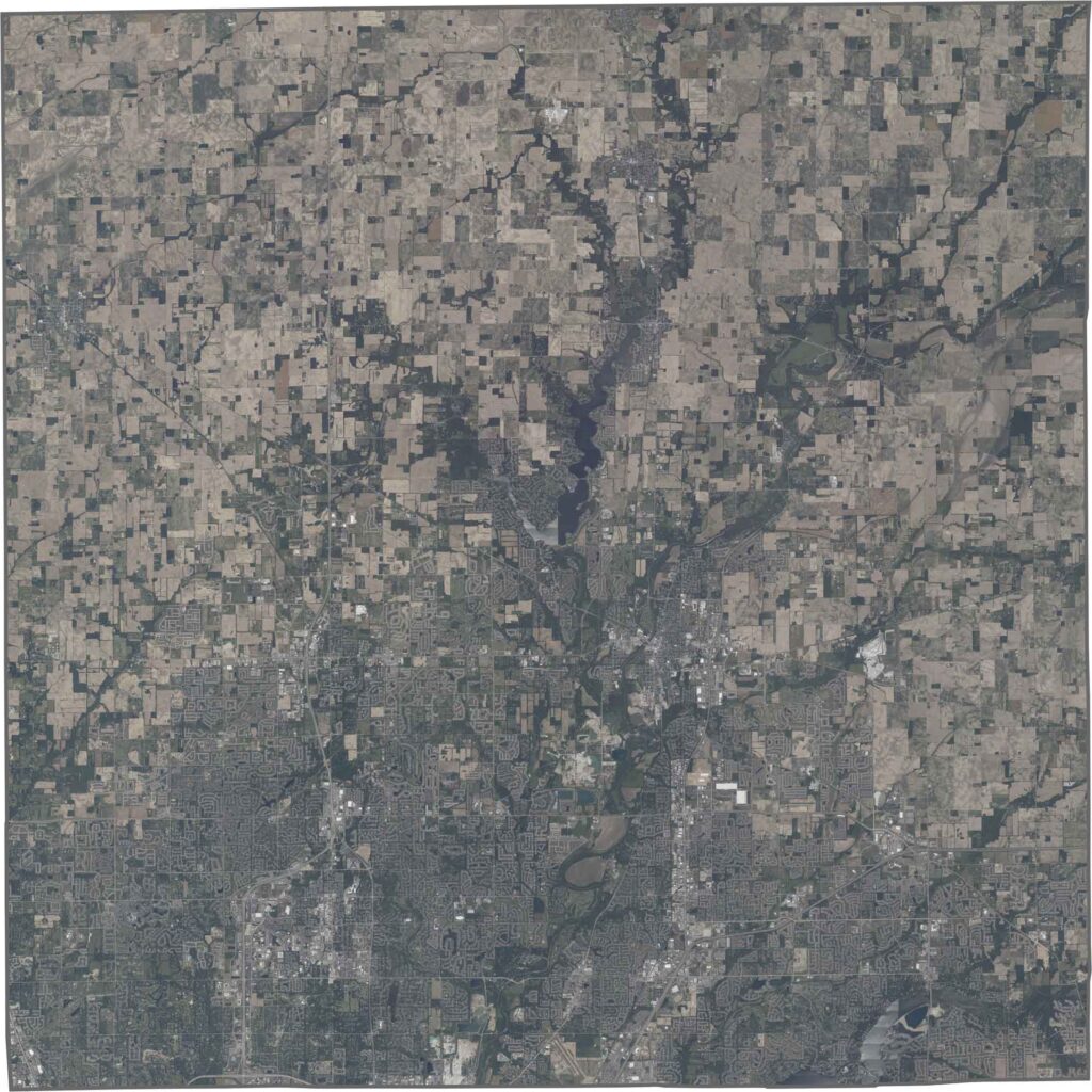
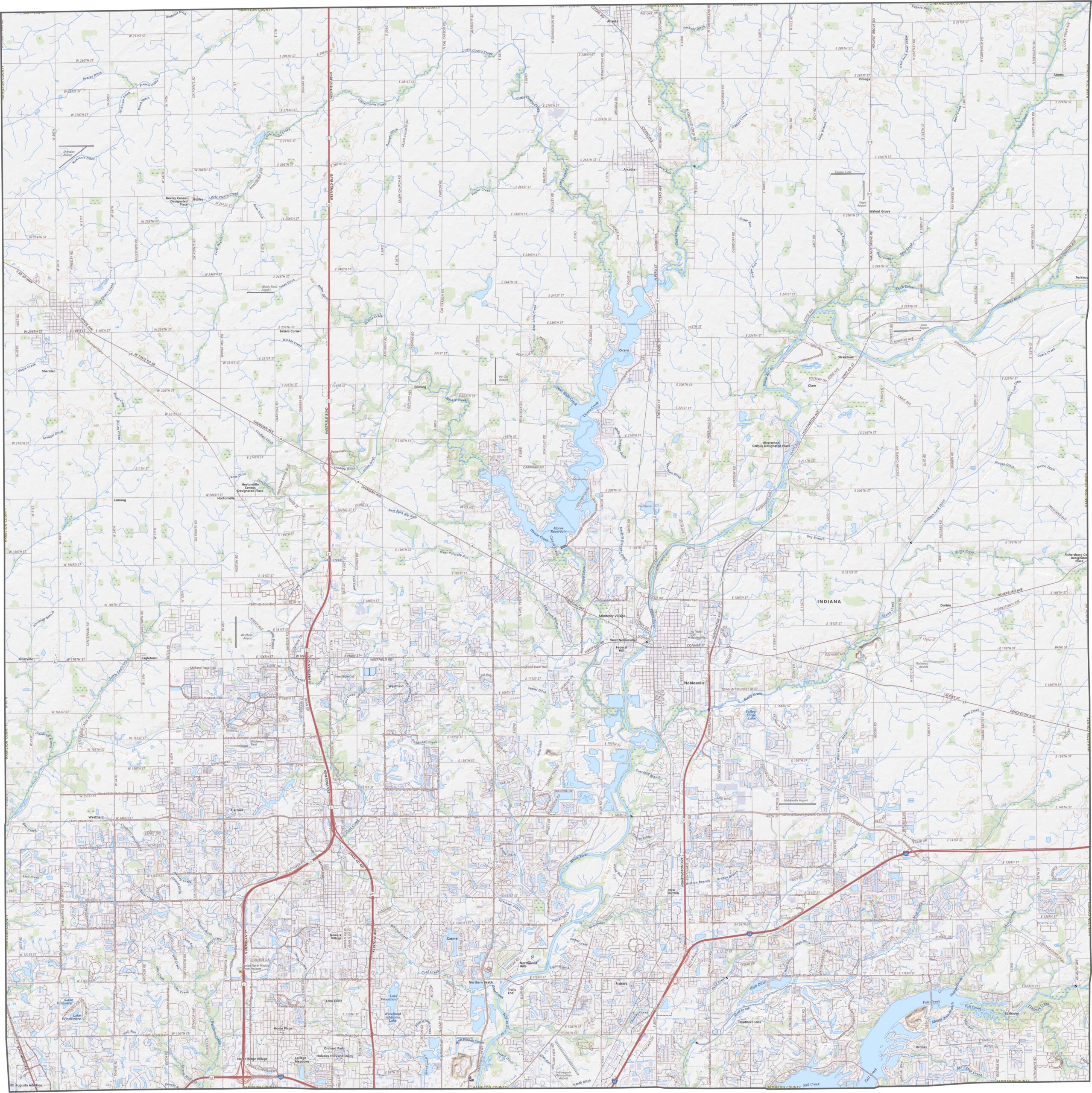
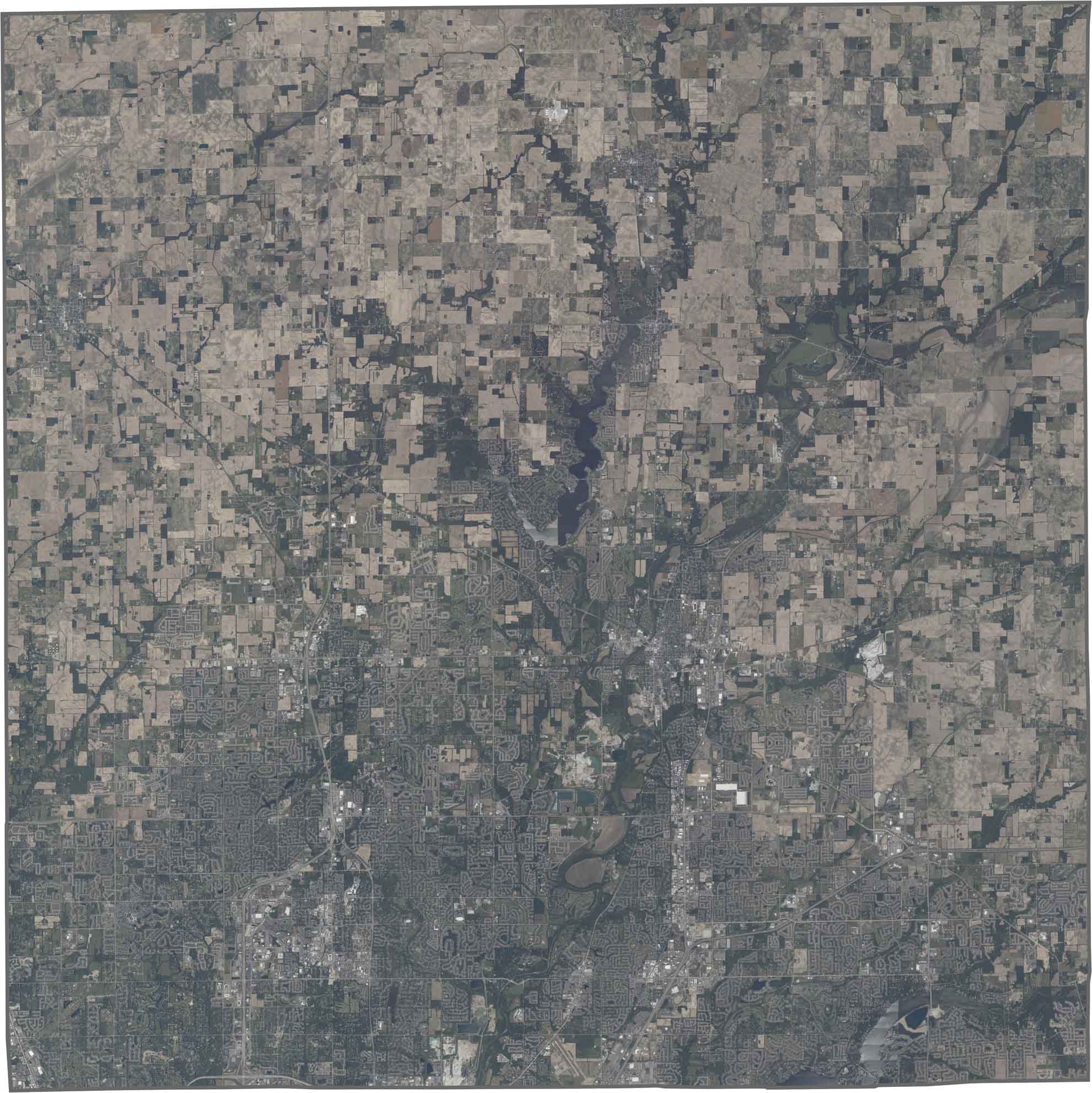
The southern part of Hamilton County is mostly flat, while gentle hills become more noticeable toward the north. The White River runs along the western side, with small slopes near its banks, while expanding suburban development has replaced many of the county’s former agricultural fields.
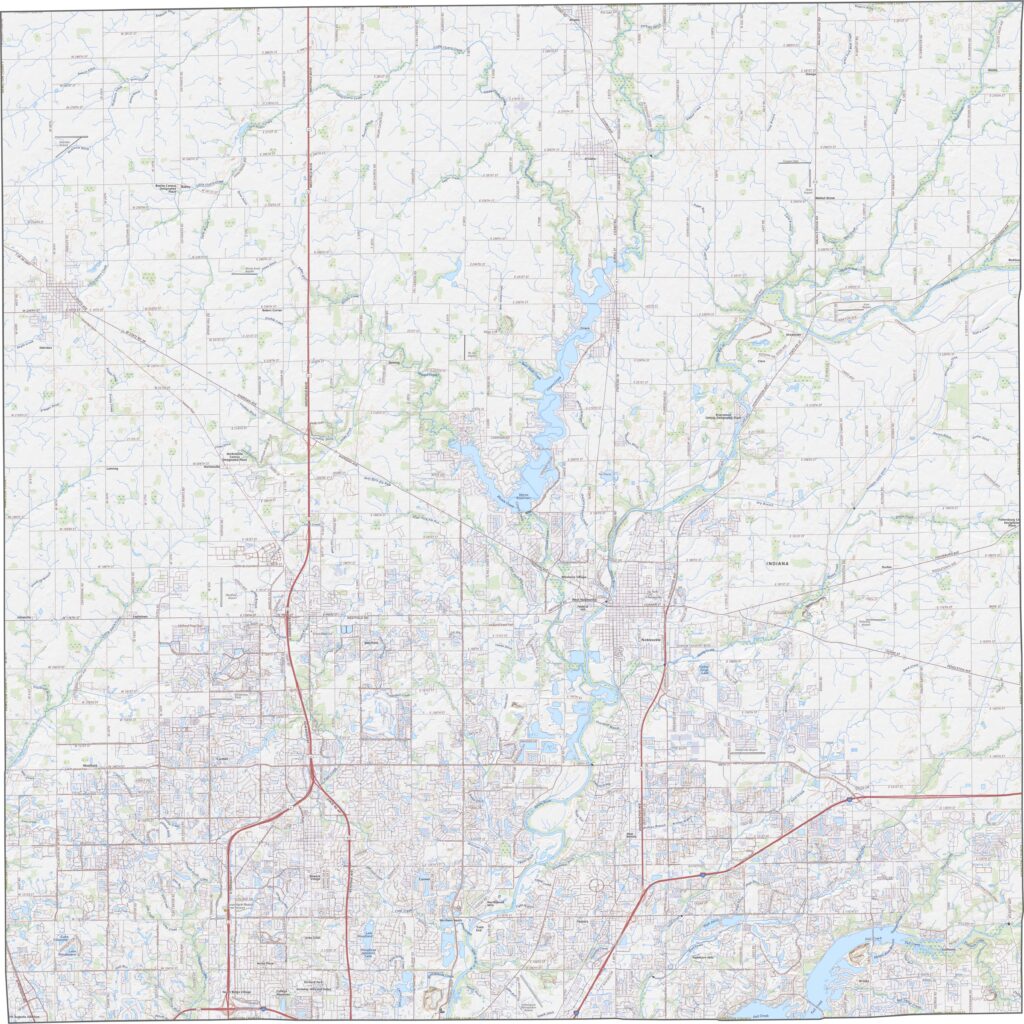
Across the county, suburban neighborhoods with curving streets spread across the landscape. The White River creates a distinctive green, winding corridor, while smaller lakes, parks, and open spaces provide breaks within the developed areas.
Hamilton County has a generally rectangular shape, extending slightly farther from north to south than from east to west. It is located entirely within Indiana and does not share a border with any other state.








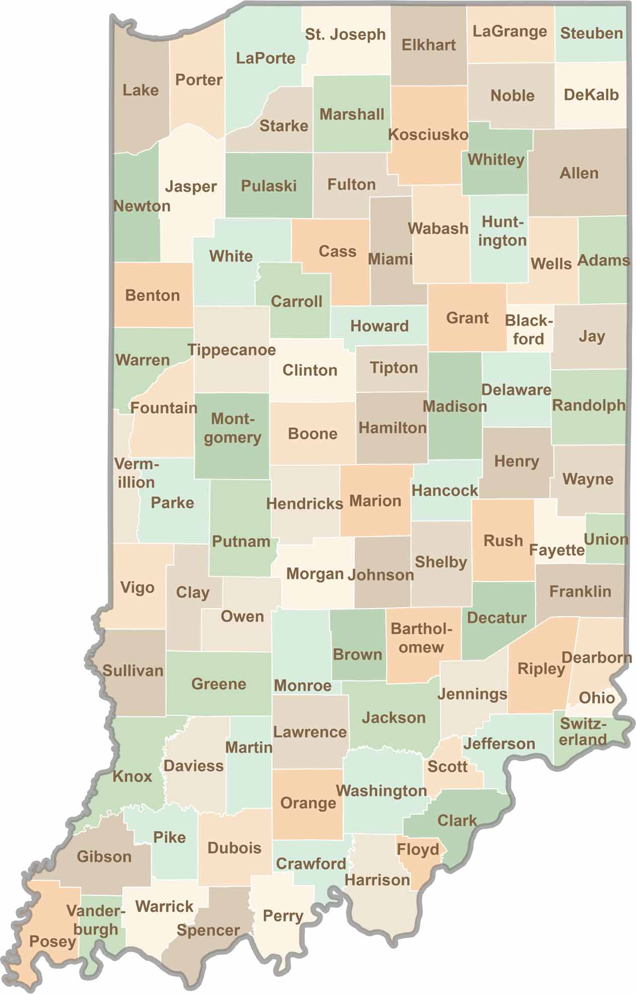
Explore the Hoosier State, home to 92 counties filled with scenic backroads, impressive skyline views, and charming small towns. Think of this as your glovebox passport to Indiana, guiding you to classic diner pies, covered bridges, and stunning Lake Michigan sunsets.