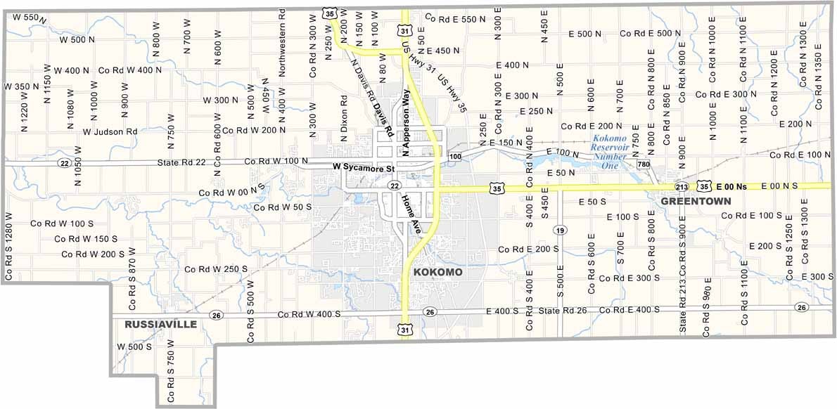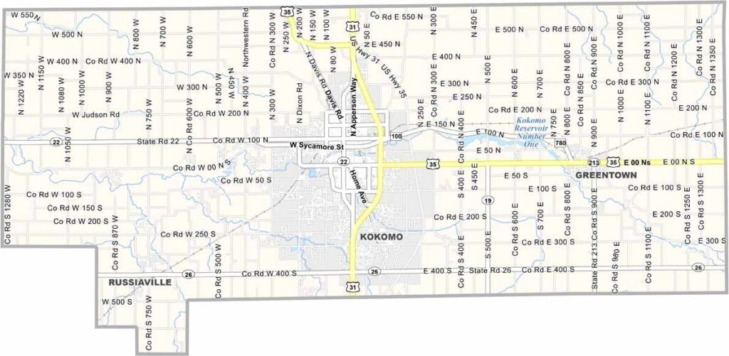
Howard County Map, Indiana

Howard County, Indiana

Howard County is located in north-central Indiana. Kokomo, the county seat, is known as the “City of Firsts” for its automotive innovations and manufacturing heritage.

Summer brings the Haynes Apperson Festival, celebrating Kokomo’s car-making history. The Kokomo Opalescent Glass Works is the oldest glass factory in the United States and is still operating today.

You’ll find a mix of blue-collar pride and high-tech industry here. Chrysler and Delphi have major operations in the county, making Howard County a place where history, manufacturing, and local life blend naturally.
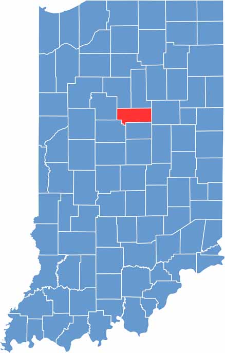
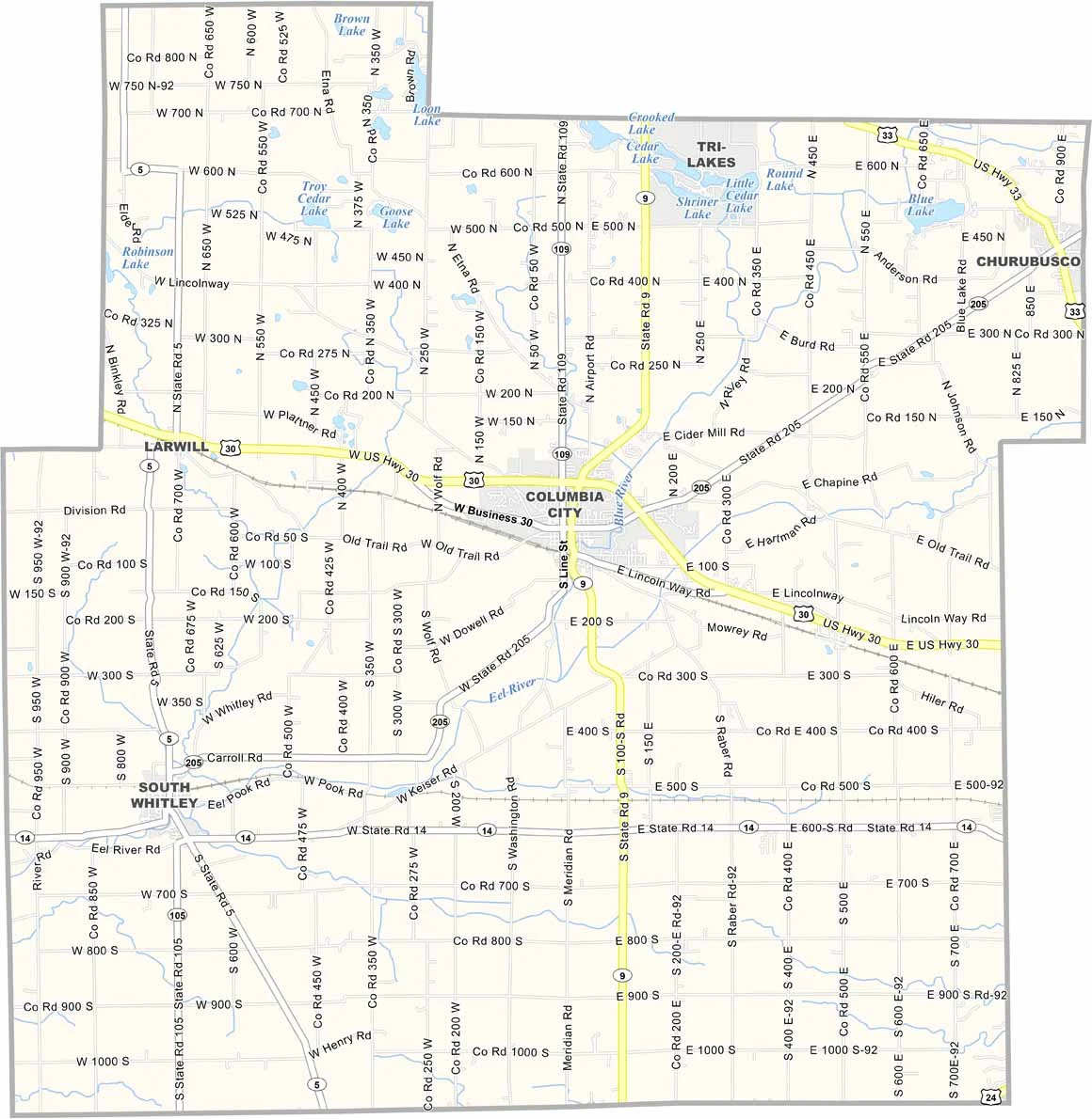
Howard County location map of Indiana
CategoryDetails
County NameHoward County
County SeatKokomo
Cities, Towns, and CommunitiesKokomo, Greentown, Russiaville, Hemlock, West Middleton, Alto, Cassville
Interstates and HighwaysUS-31, US-35, IN-22, IN-19, IN-26, IN-931
FIPS Code18-067
Total Area (Land and Water)293 square miles (Land: 293 sq mi, Water: 0.3 sq mi)
Adjacent Counties (and Direction)Miami County (North), Grant County (East), Tipton County (South), Clinton County (Southwest), Carroll County (West), Cass County (Northwest)
Time ZoneEastern Time Zone (ET)
StateIndiana
Coordinates40.4855° N, 86.1336° W
EtymologyNamed after Tilghman Howard, a U.S. Representative from Indiana
Major LandmarksKokomo Automotive Heritage Museum, Elwood Haynes Museum, Seiberling Mansion, Highland Park
Population82,000 (estimated)
Scroll to Top