
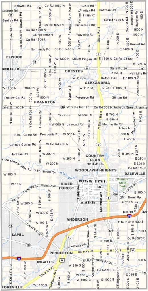
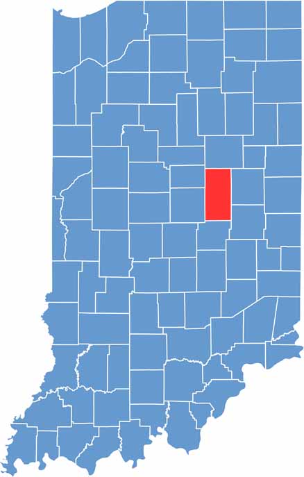
Madison County is located between Indianapolis and Muncie. This county is a hardworking part of Indiana.
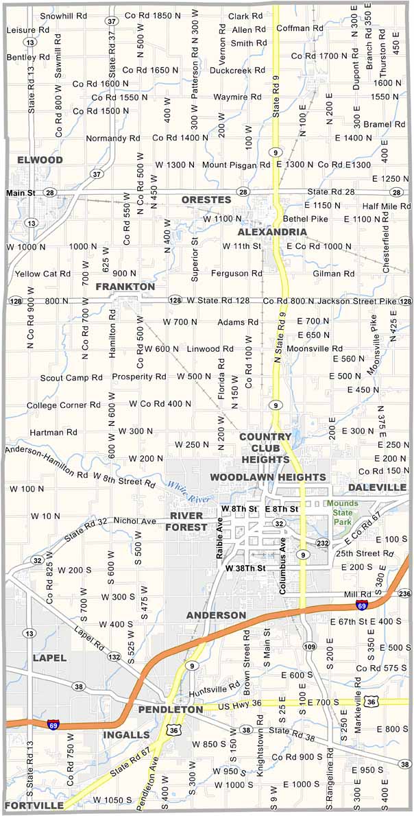
Anderson is the county seat and was once a busy center for the auto industry. The city is also home to the Paramount Theatre, a historic movie theater.
Mounds State Park attracts visitors interested in ancient Native American earthworks. Madison County continues to balance its industrial past with hopes for a more diverse future.
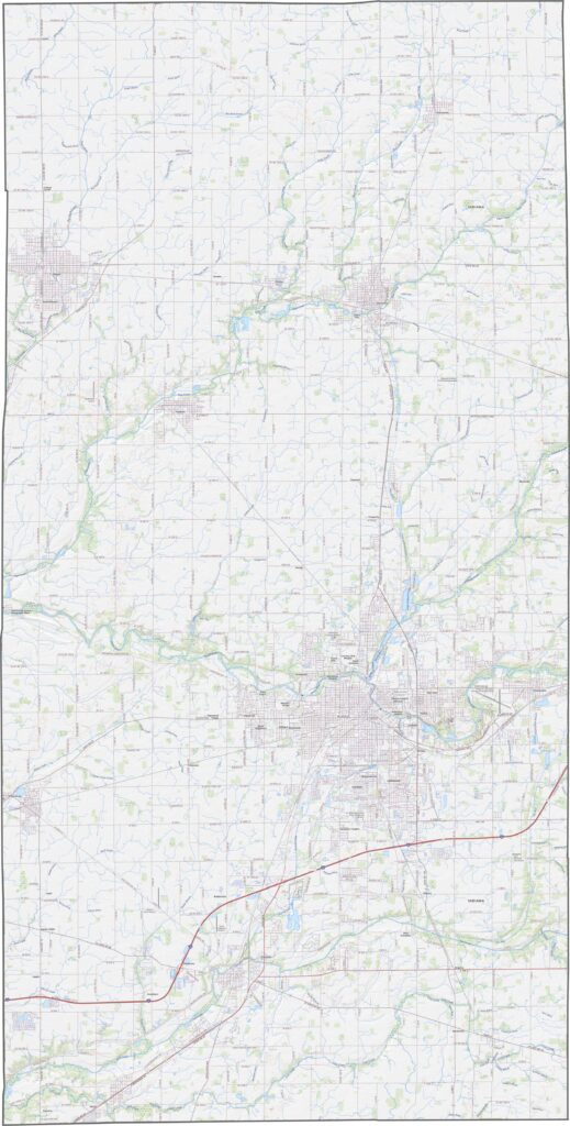
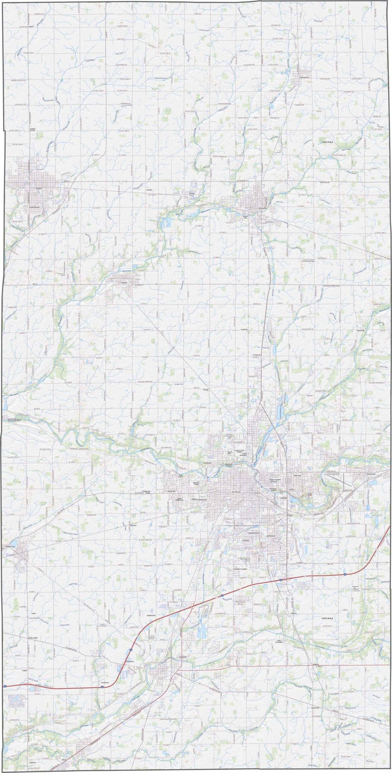
Mostly flat plains cover the county, with the White River creating a broad valley. Gentle slopes appear near the river and its tributaries. The northern sections have more elevation changes than the southern areas. I-69, US-36, and IN-9 are the major highways here.
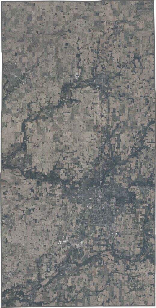
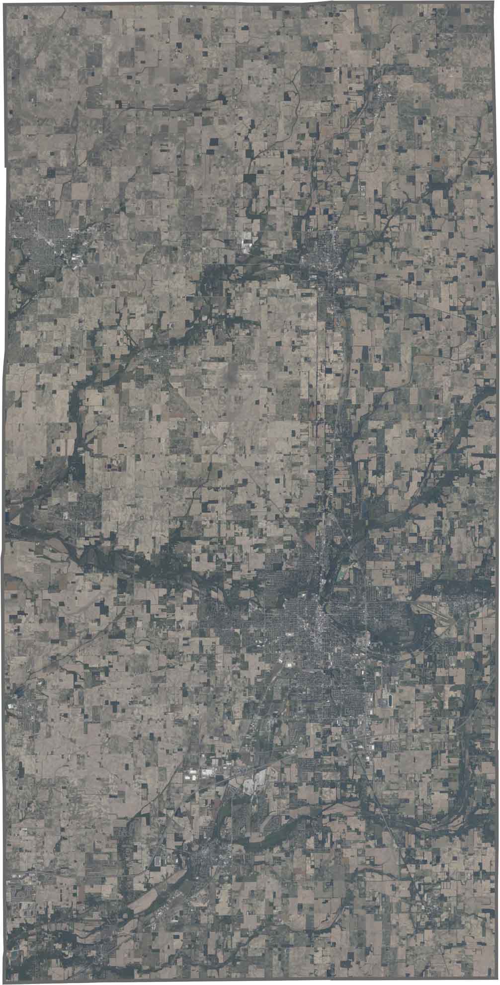
This Madison County satellite image shows Anderson as the main urban center along the river. Industrial areas are mixed with neighborhoods spreading outward from the city. The White River forms a dark, winding corridor through the landscape, while farmland covers most areas farther from the city.
Madison County has a roughly square shape with slightly uneven edges. All of its boundaries follow straight survey lines. No state borders touch the county, which lies entirely within Indiana.








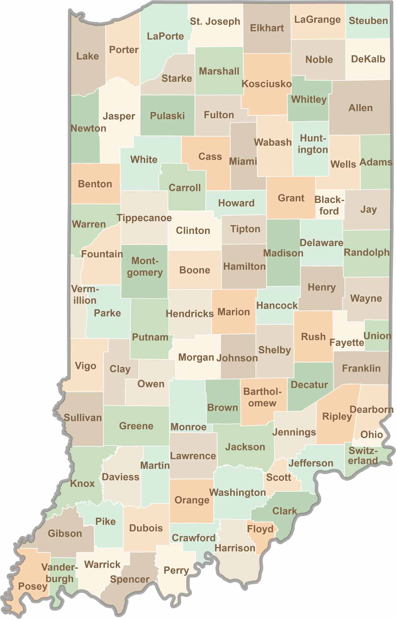
Explore the Hoosier State, home to 92 counties filled with scenic backroads, impressive skyline views, and charming small towns. Think of this as your glovebox passport to Indiana, guiding you to classic diner pies, covered bridges, and stunning Lake Michigan sunsets.