
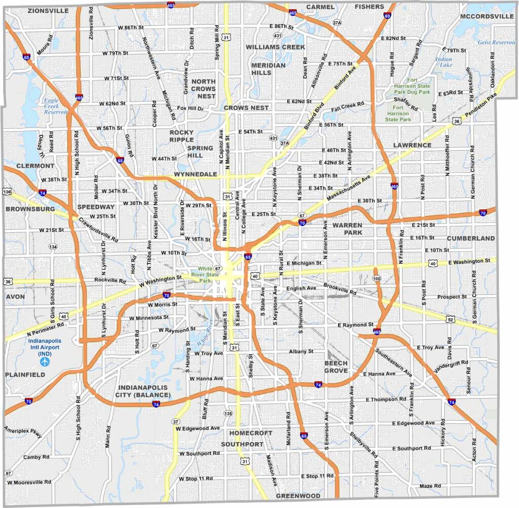
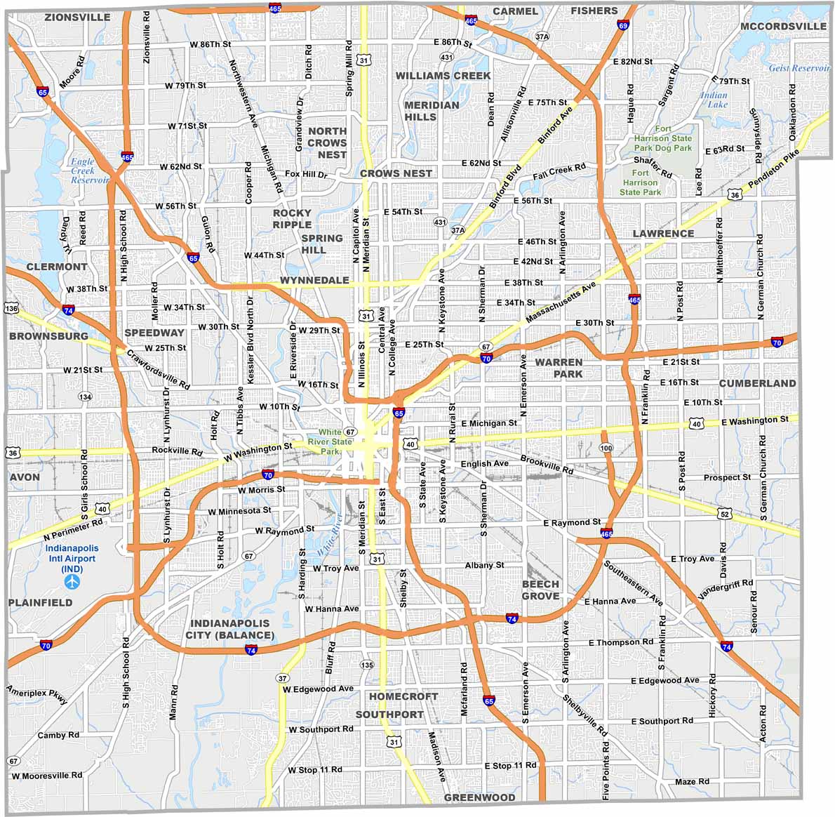
Marion County is the heart of Indiana, home to Indianapolis, the state capital and largest city. The city is known for its sports teams, from the Colts to the Pacers. It’s where Hoosier hospitality meets the energy of a big city.
Downtown Indianapolis features the iconic Monument Circle, while the Indianapolis Motor Speedway comes alive every May for the Indy 500. But the county is about more than race cars and skyscrapers.
You’ll still find quiet neighborhoods and even some farms on the outskirts, although they are becoming less common. White River State Park hosts concerts, while the county’s growing food and brewery scene offers plenty of other ways to enjoy the area.
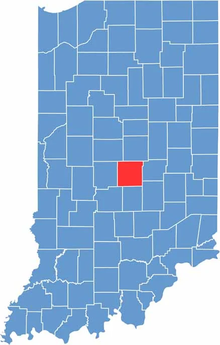
In Marion County, the land is mostly flat, while the White River creates gentle valleys. Indianapolis is the centerpiece of our map below. Farmland once covered much of the area, but today, more cities and suburbs fill the landscape.
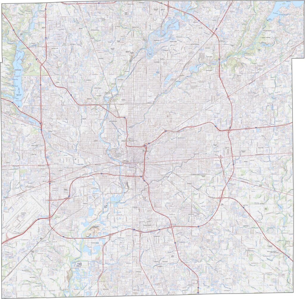
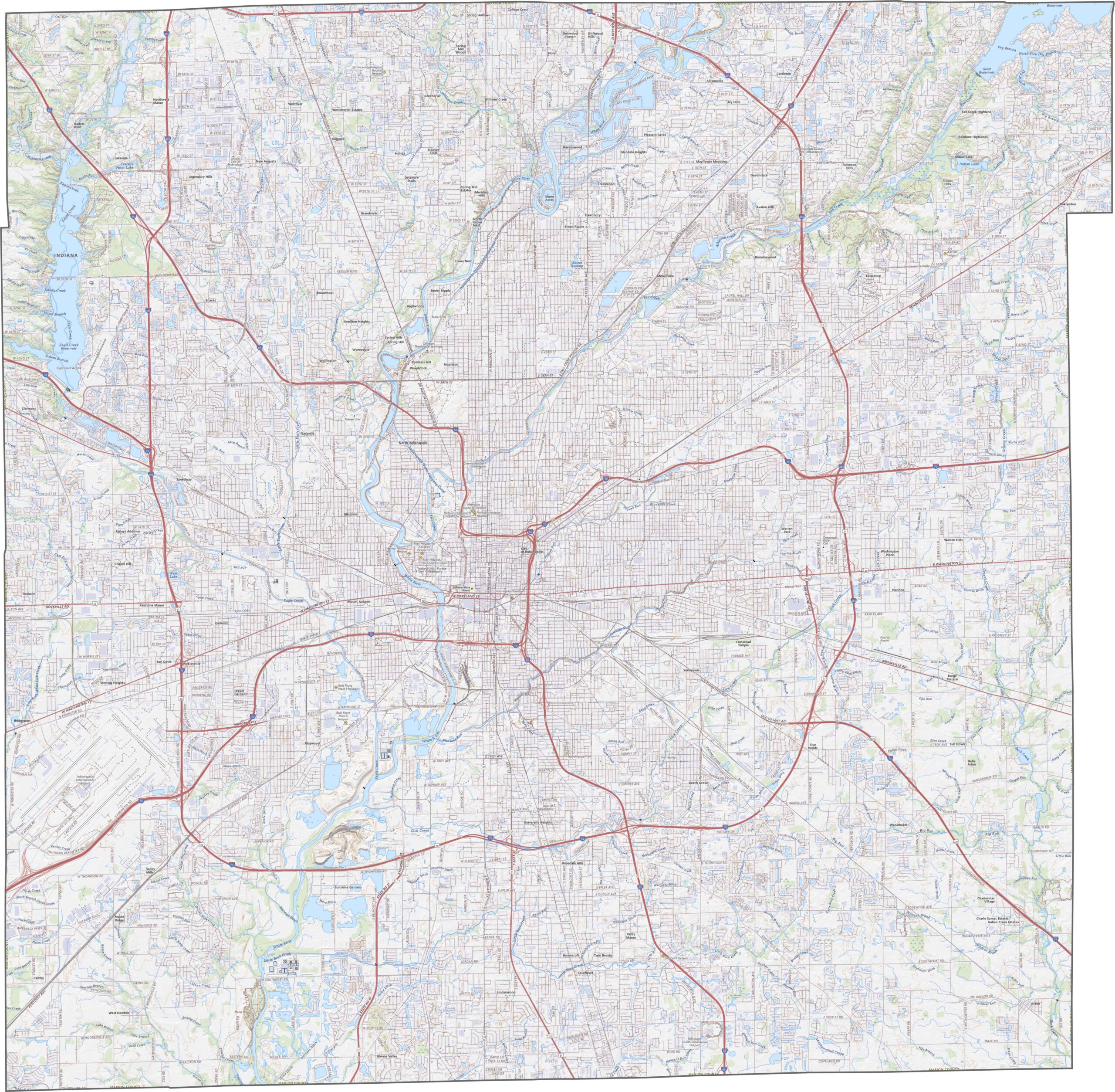
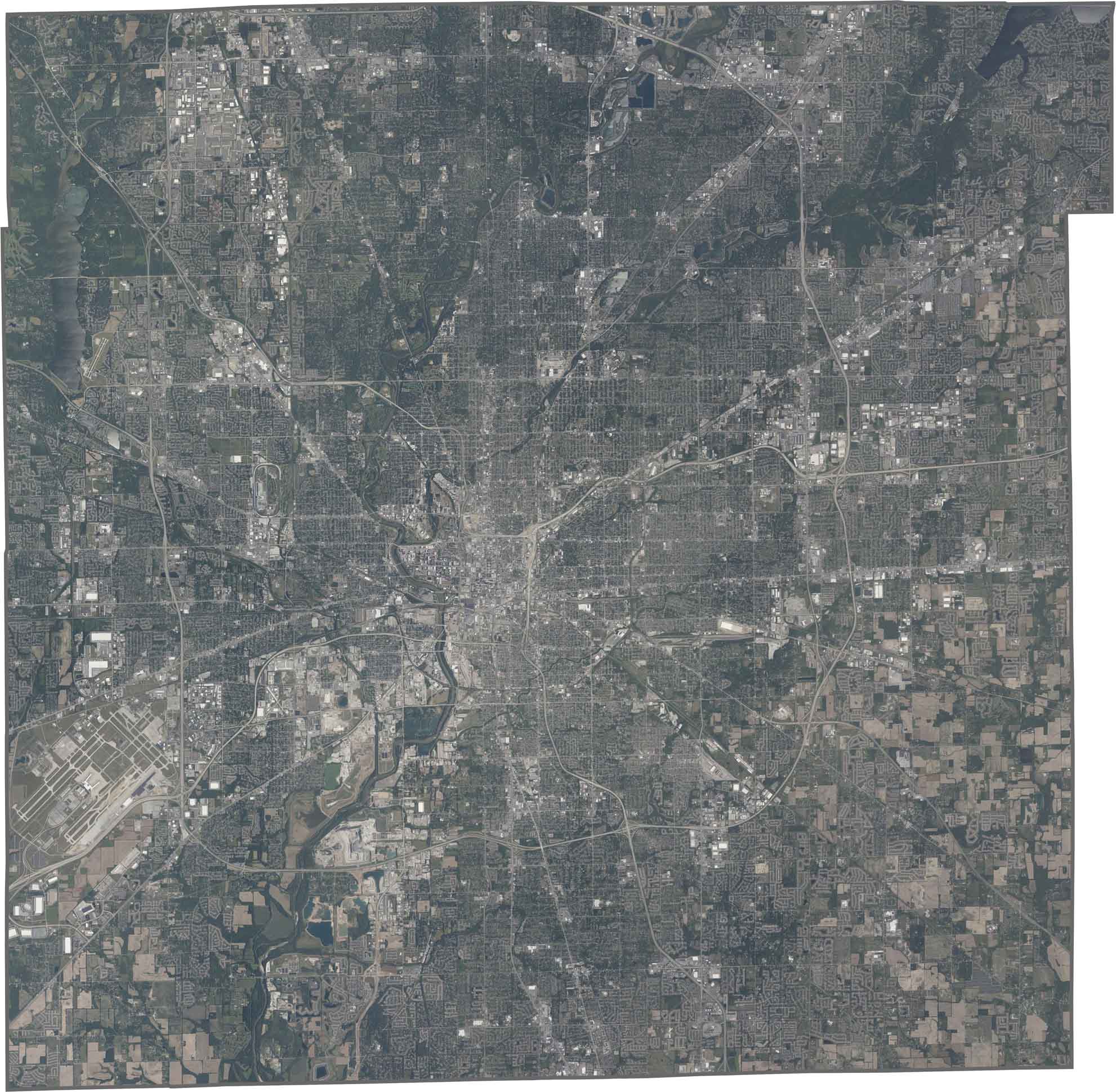
Indianapolis occupies the center of Marion County, with streets and buildings covering much of the area. Green spaces like Eagle Creek Park stand out against the urban grid. The White River winds through the county, with its dark curves contrasting against the straight roads.
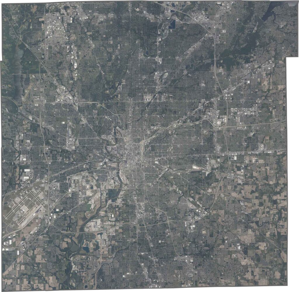
Marion County is nearly a perfect square, with straight borders rather than natural ones. No rivers mark its edges, and it does not touch any other states, only neighboring Indiana counties.








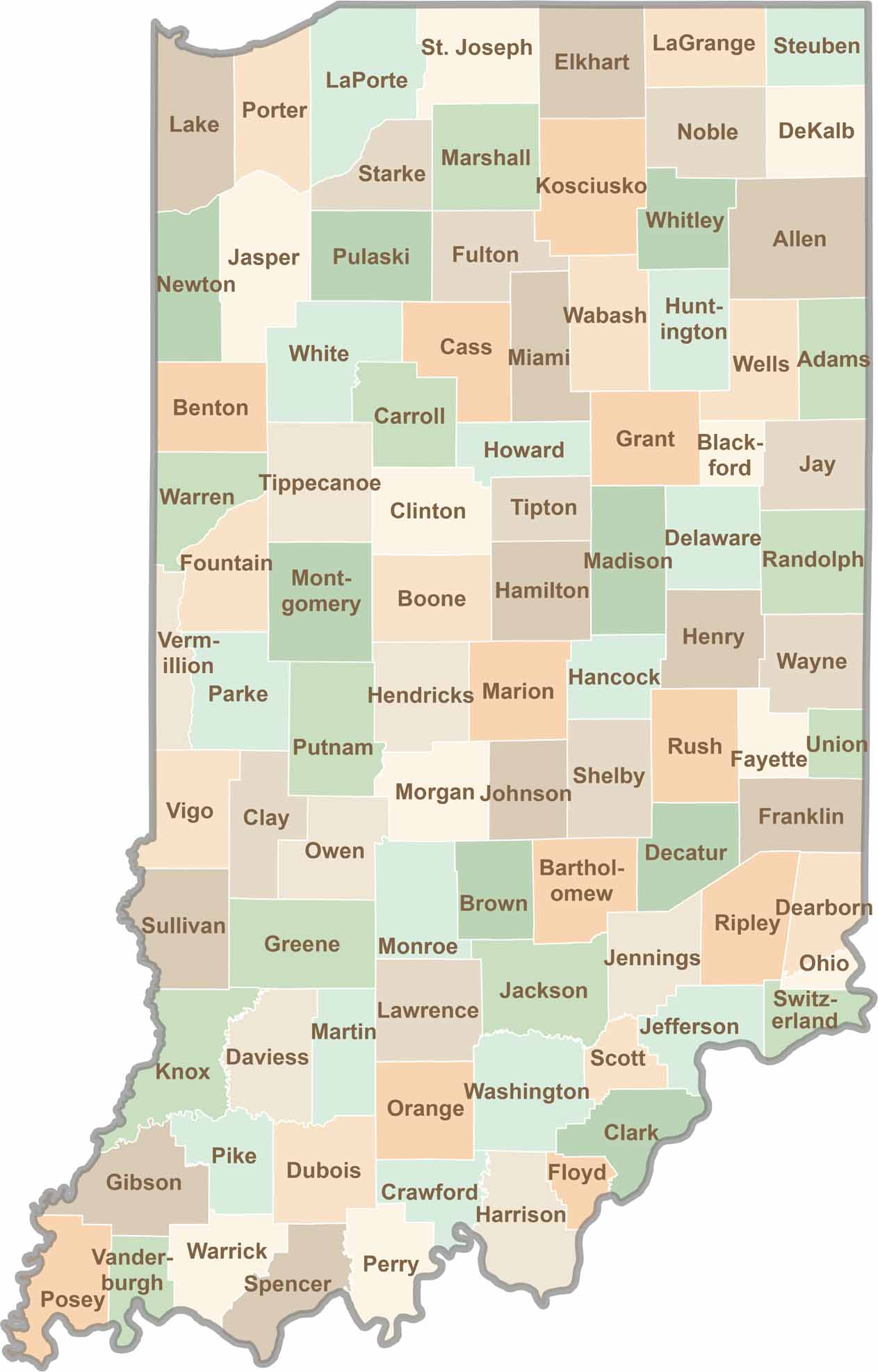
Explore the Hoosier State, home to 92 counties filled with scenic backroads, impressive skyline views, and charming small towns. Think of this as your glovebox passport to Indiana, guiding you to classic diner pies, covered bridges, and stunning Lake Michigan sunsets.