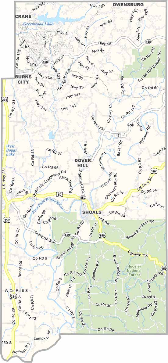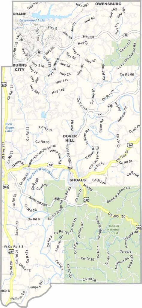
Martin County, Indiana

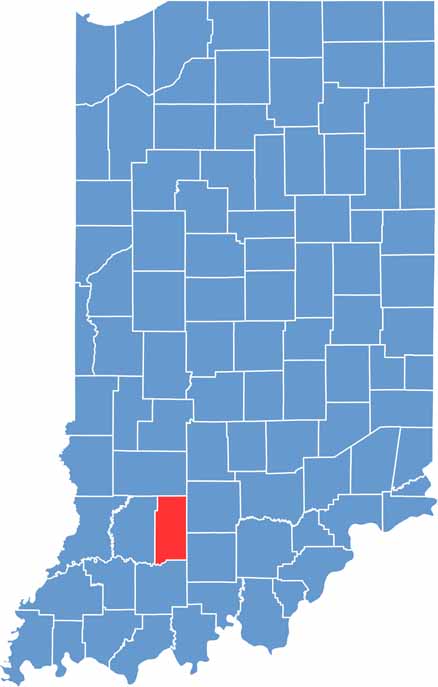
Martin County is located in southwestern Indiana, where Hoosier farmland meets the hills of the Hoosier National Forest.

Shoals is the small county seat, situated on a bend in the White River. Crane Naval Surface Warfare Center is the area’s largest employer.

This county has more trees than people and is home to part of Martin State Forest. We also recommend exploring places like Jug Rock, the state’s largest freestanding table rock formation.

CategoryDetails
County NameMartin County
County SeatShoals
EtymologyNamed after Major John T. Martin, a hero of the War of 1812
Cities, Towns, and CommunitiesShoals, Loogootee, Crane, Burns City, Hindostan Falls, Dover Hill, Cale, Trinity
Interstates and HighwaysUS-50, US-150, IN-450, IN-550
FIPS Code18-101
Total Area (Land and Water)340 square miles (Land: 335 sq mi, Water: 5 sq mi)
Adjacent Counties (and Direction)Greene County (North), Lawrence County (East), Orange County (Southeast), Dubois County (South), Daviess County (West)
Time ZoneEastern Time Zone (ET)
Population10,000 (estimated)
StateIndiana
Coordinates38.7228° N, 86.8096° W
Major LandmarksHoosier National Forest, Hindostan Falls, Jug Rock, West Boggs Lake
Scroll to Top