
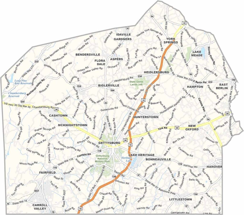
Adams County lies in south-central Pennsylvania, right along the Maryland border, with a great deal of history tucked into its rolling hills and farmland.
Gettysburg, the county seat, was the site of a major Civil War battle, and the battlefield can still be visited today. As a result, the town is full of museums, historic sites, and guided tours.
Apples are big business here, and the county produces tons of them every year. The orchards are at their most beautiful in fall when the fruit is ripe. The Appalachian Trail passes through part of the county, and many hikers stop in the small towns to resupply.
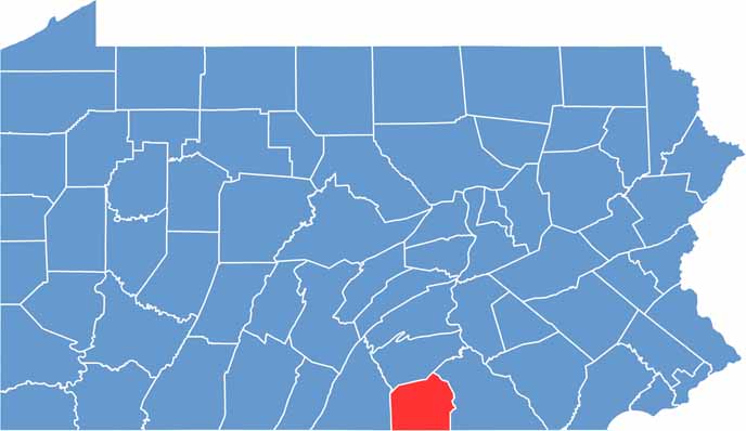
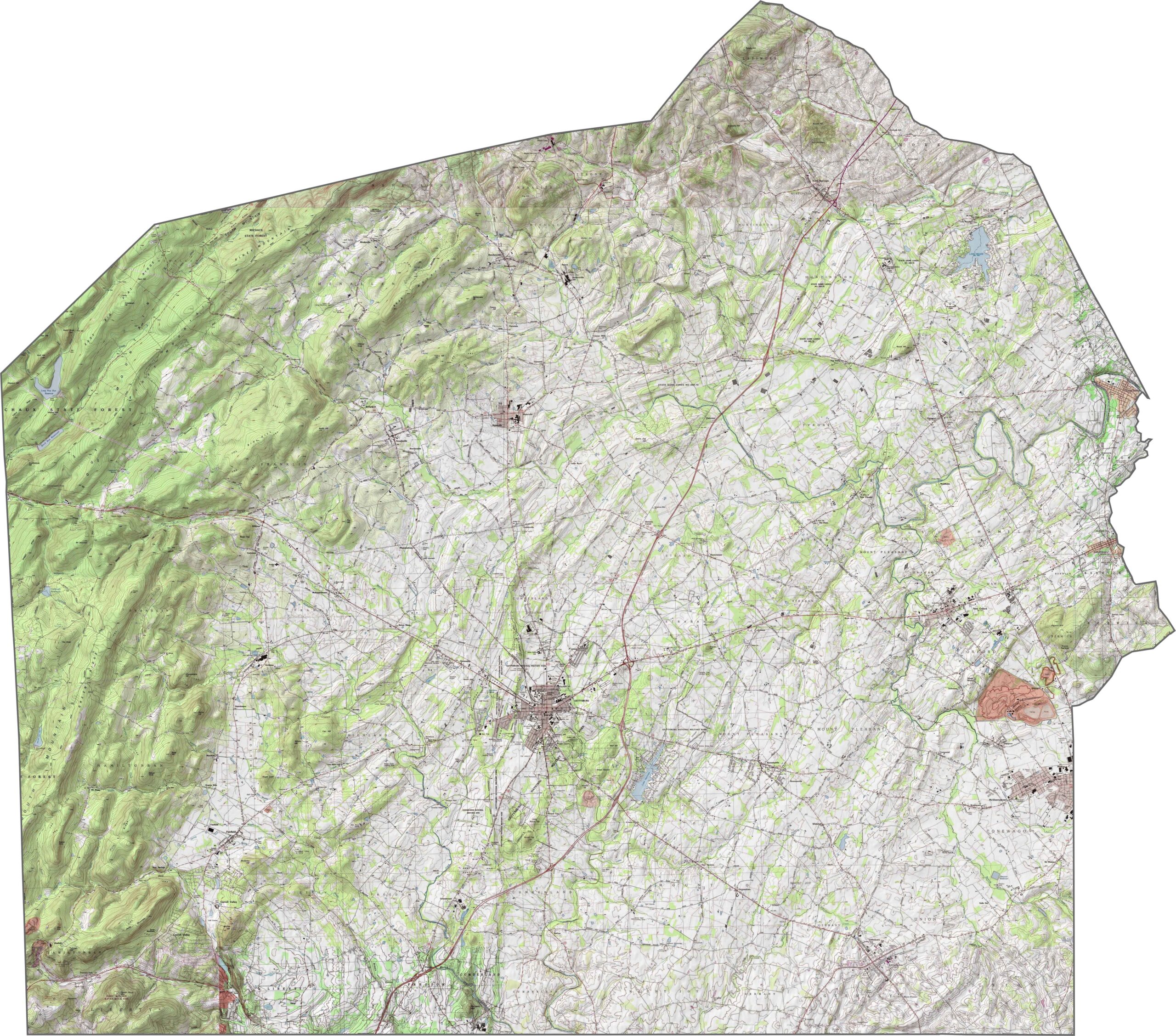
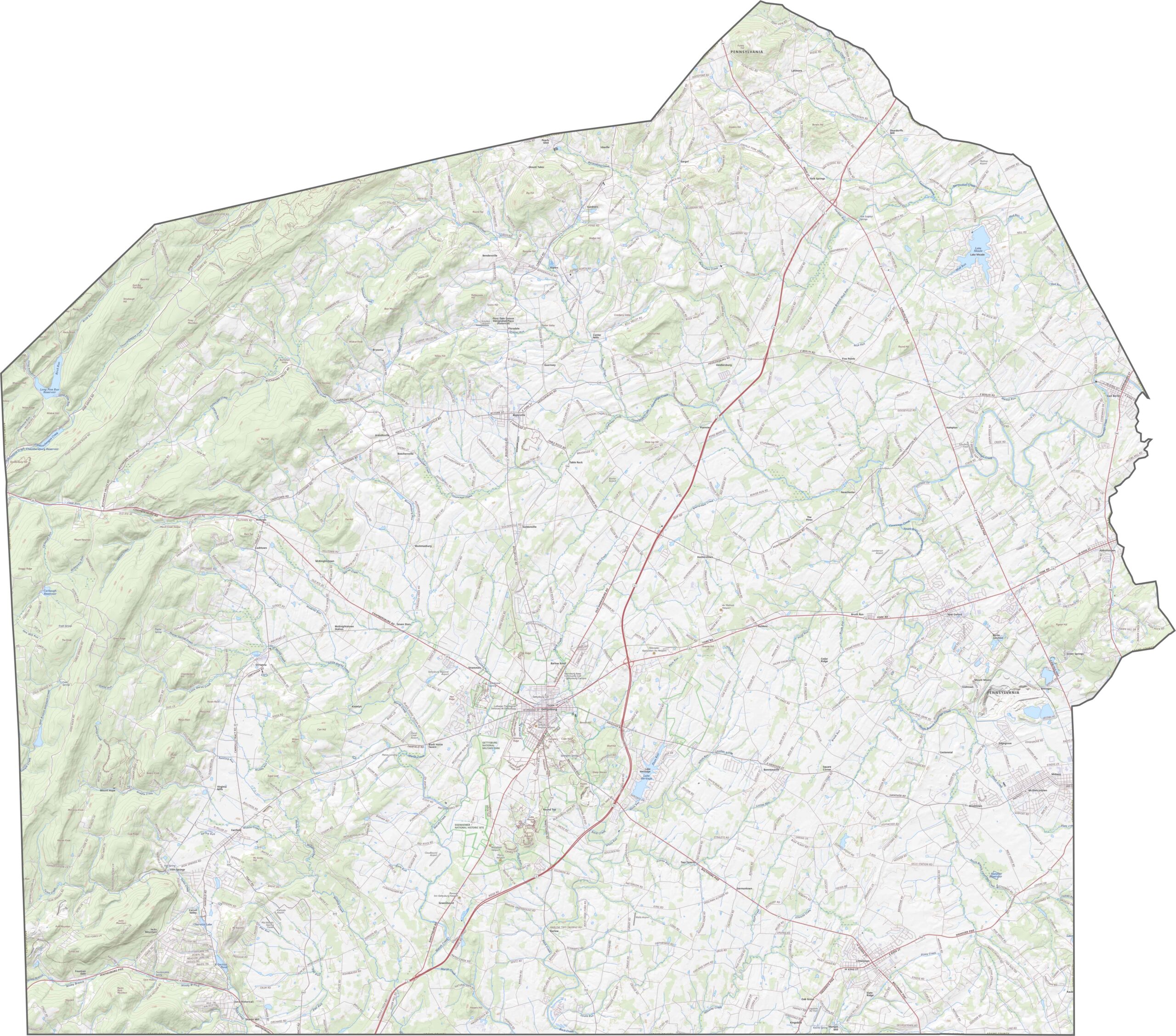
Adams County has a gentle but varied topography. Broad, rolling hills dominate the southern part, and the elevation climbs slightly in the west, where wooded ridges appear. Even so, most of the county remains open and cultivated.
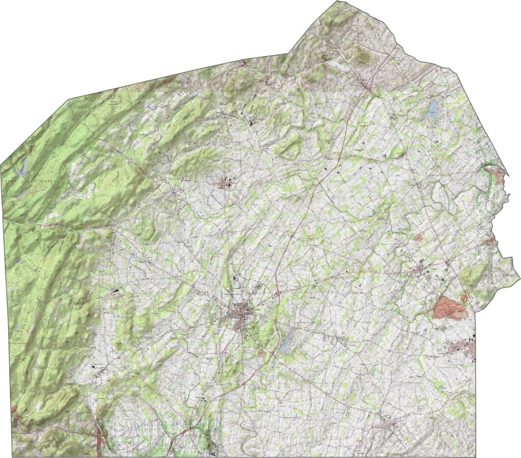
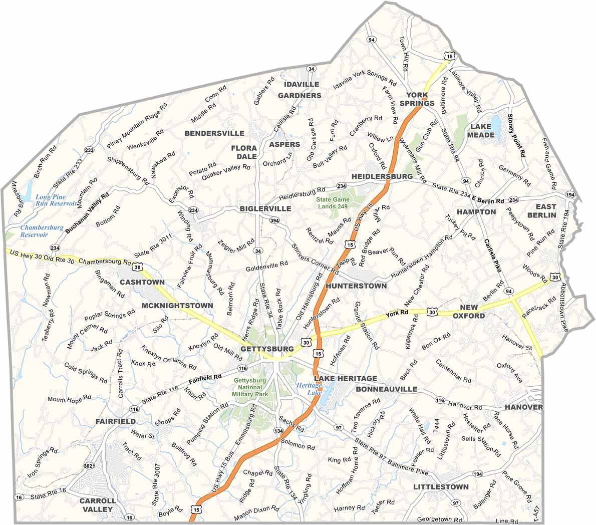
The road system in Adams County is practical and direct. Major routes like U.S. Route 15 run through farmland and forests. The county never feels congested, yet there is plenty of access to get around with ease. Use our zoom tool in the road map below to get familiar with Adams County.
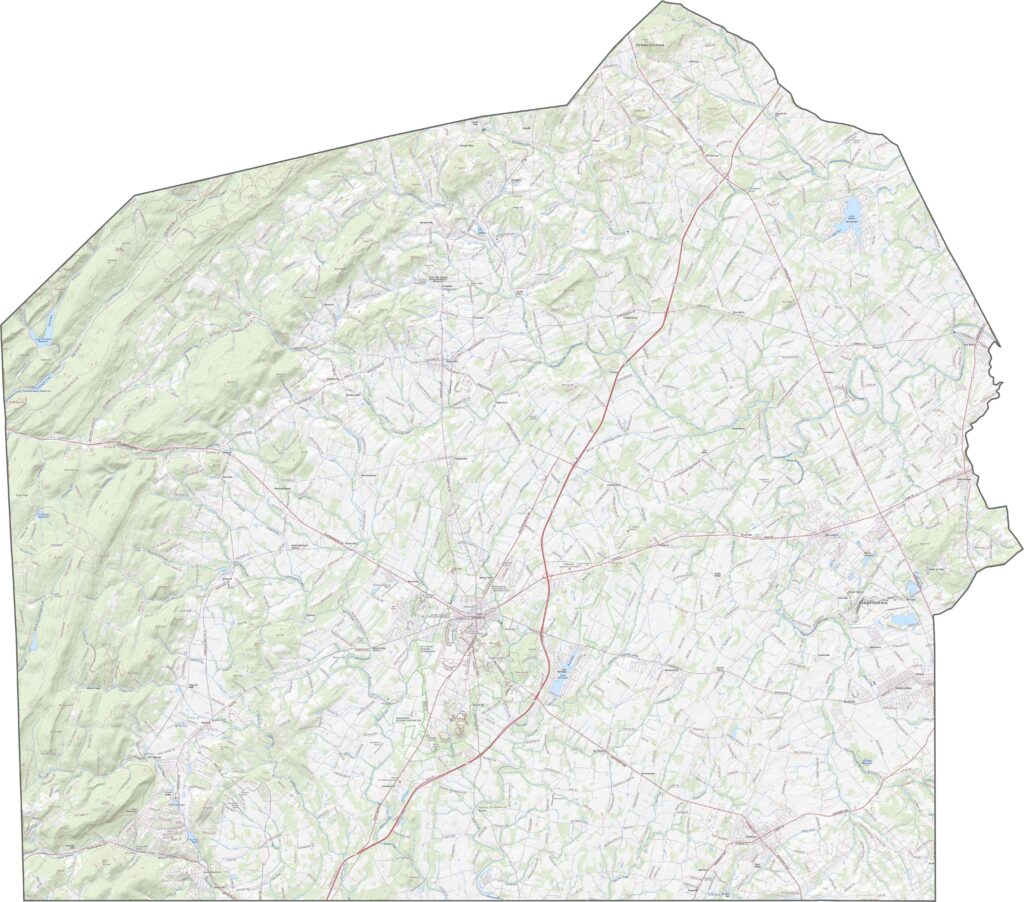
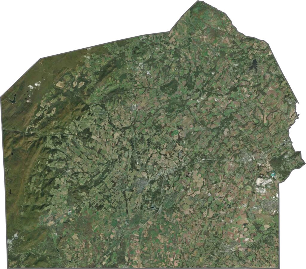
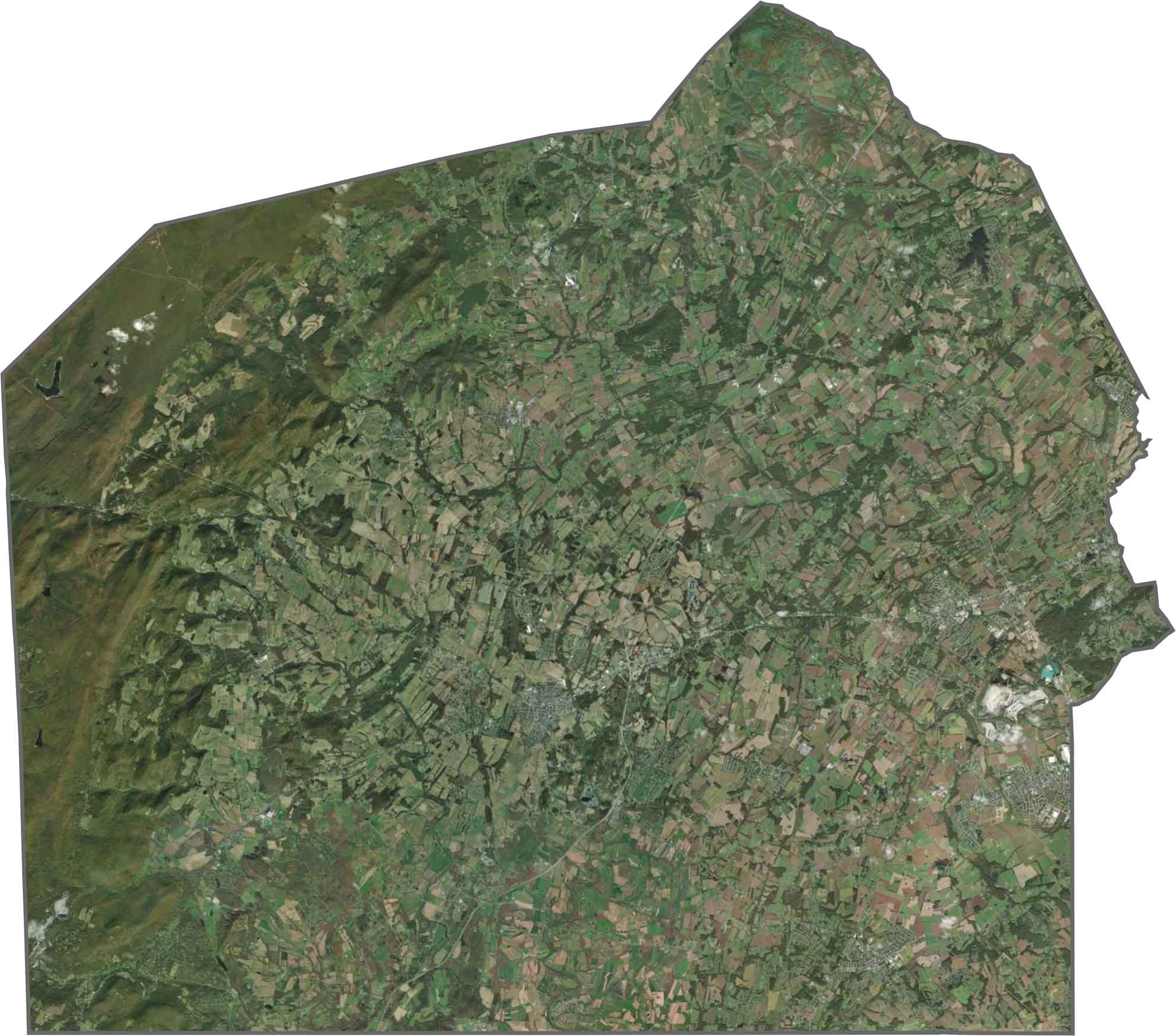
In Adams County, the farms stand out right away, with long fields in tan, green, and gold. Old town centers break up the pattern, and clusters of trees follow the creeks. Some forest remains, but agriculture is clearly the star here.
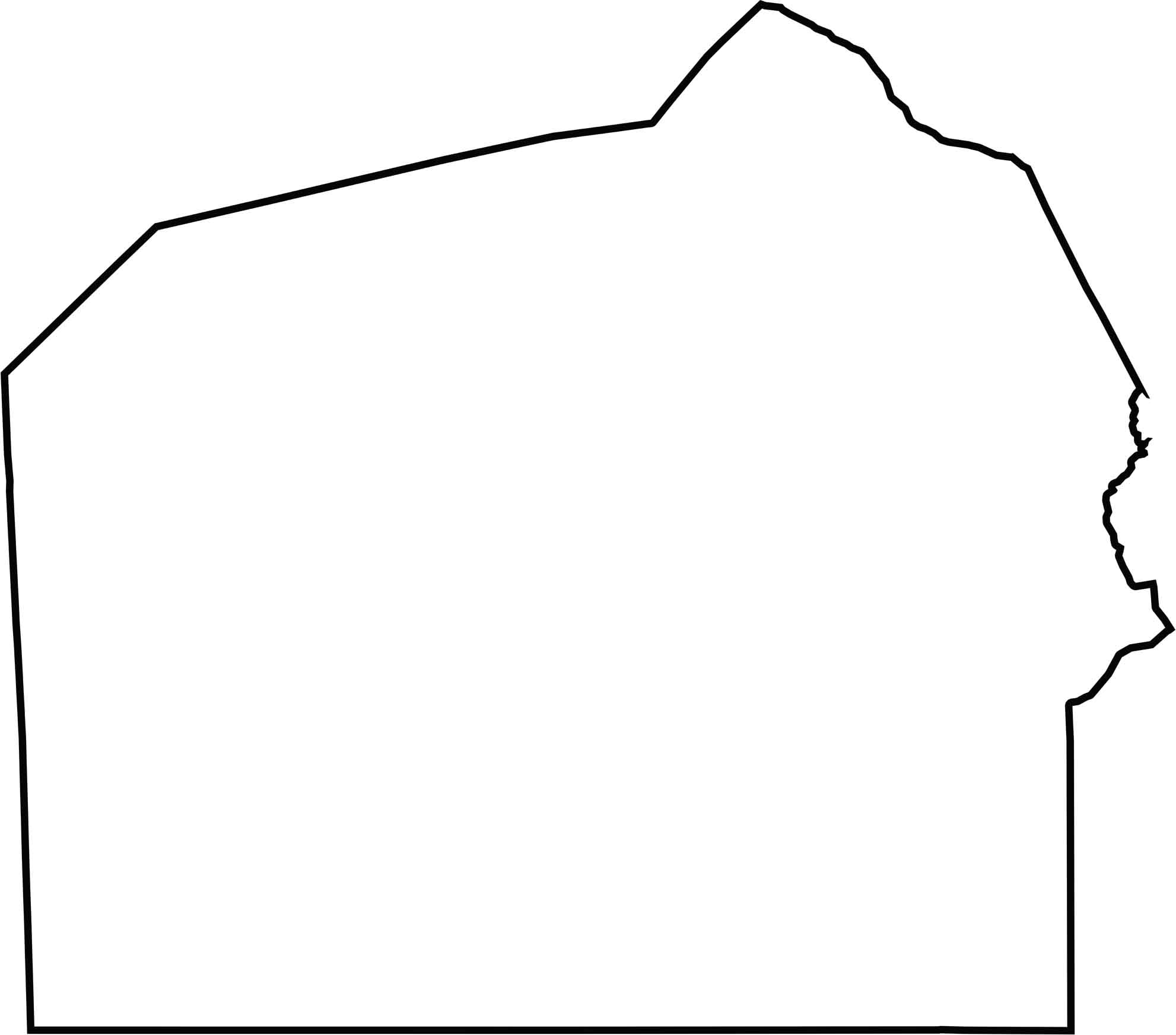
Adams County is shaped like a thick wedge pointing north. Its southern edge borders Maryland, and the southern boundary follows the state line.







Pennsylvania's 67 counties take in the glow of the Steel City, quiet Amish country backroads, and escapes in the Pocono Mountains. Distances may differ from place to place, but the stories stay just as rich.