
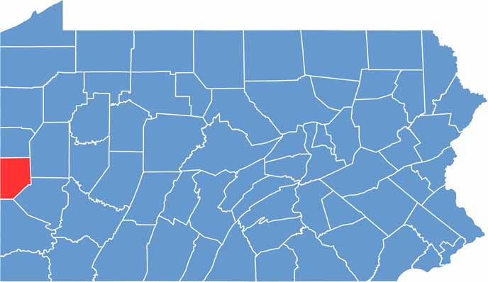
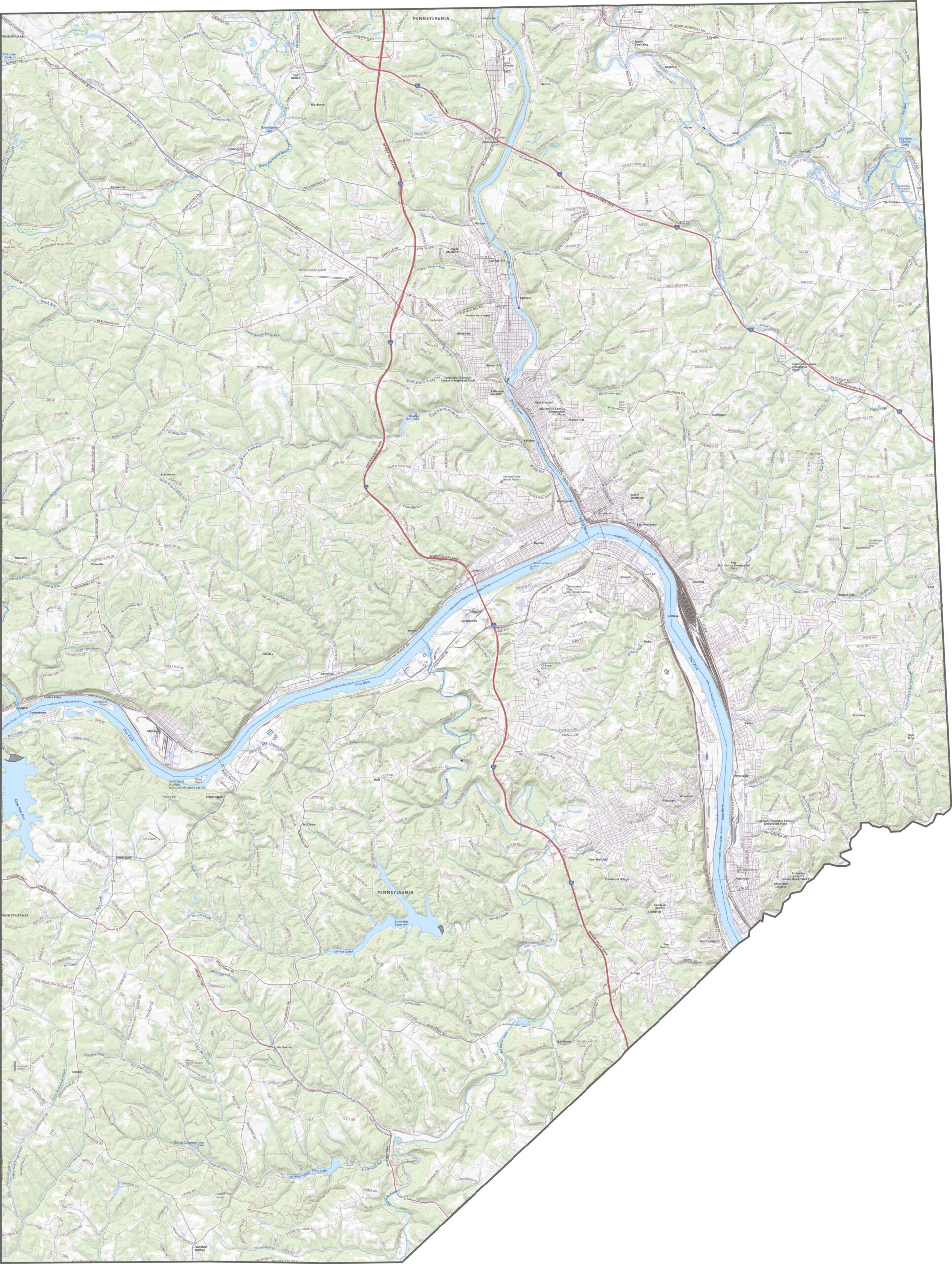
Beaver County lies in western Pennsylvania, bordering both Ohio and West Virginia. Beaver, the county seat, sits where the Ohio River and the Beaver River meet.
The county has a long history of industry and innovation. It was once home to many steel mills and factories, and today it is reinventing itself for the 21st century.
Outdoor enthusiasts love the state parks and river access. The county has some quirky claims to fame too, including being the birthplace of Joe Namath. Local festivals celebrate everything from maple syrup to polka music.
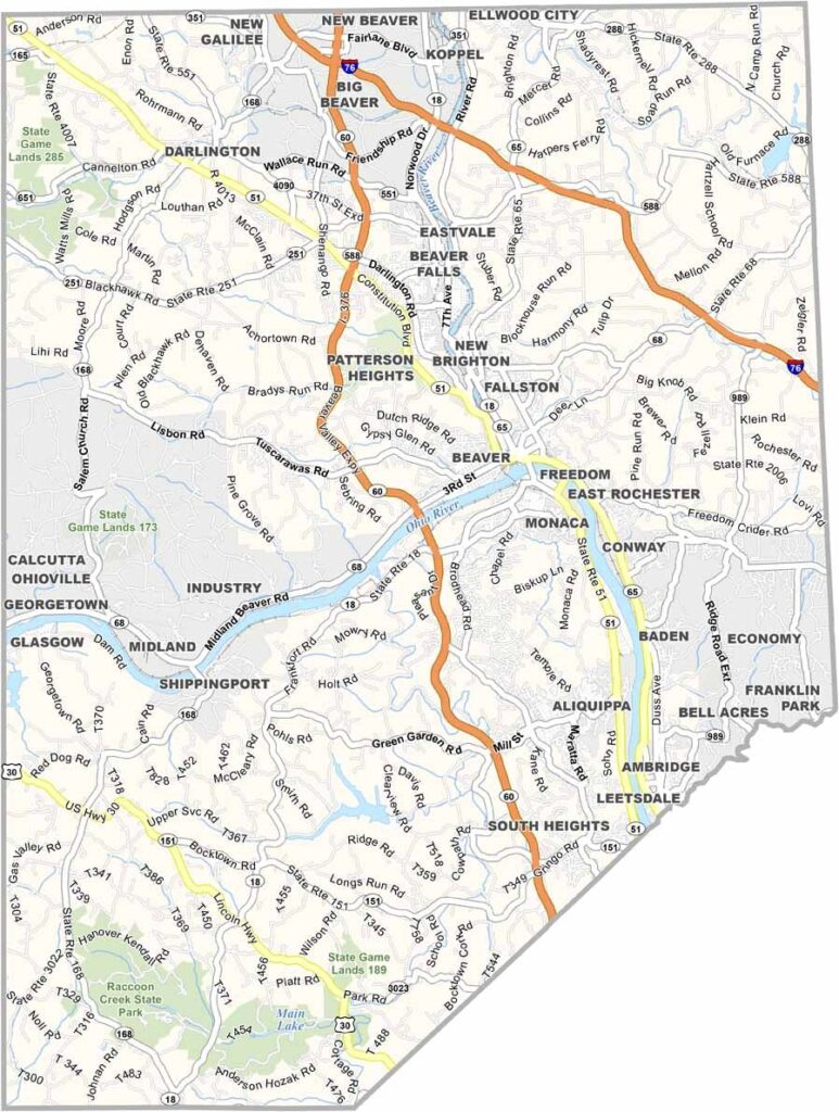
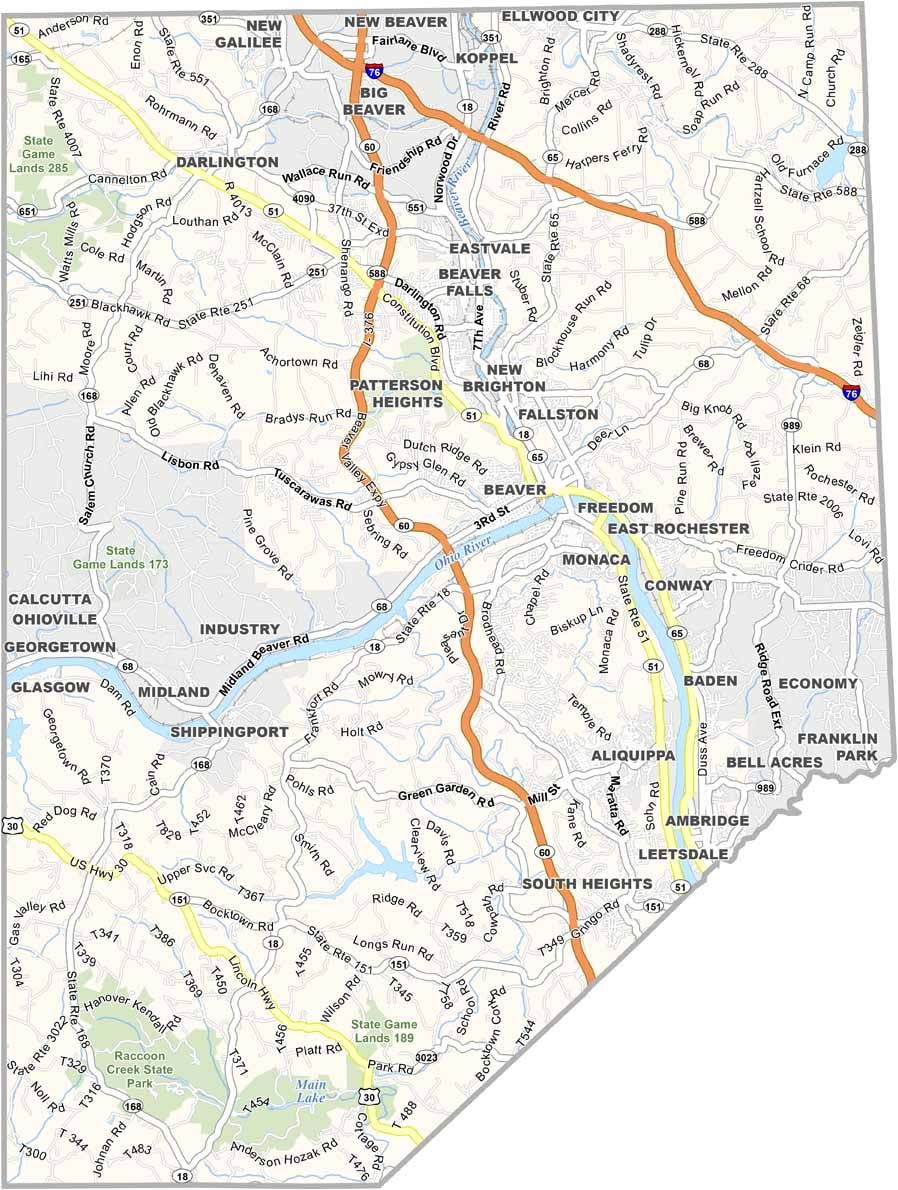
Beaver County's road network strikes a good balance. Direct routes like State Route 60 and I-76 serve commuters, with some stretches running straight and others zigzagging to follow the hills. Our zoom tool below is a big help if you want to map out the road layout in detail.
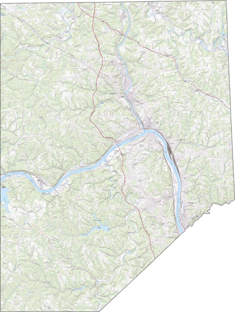
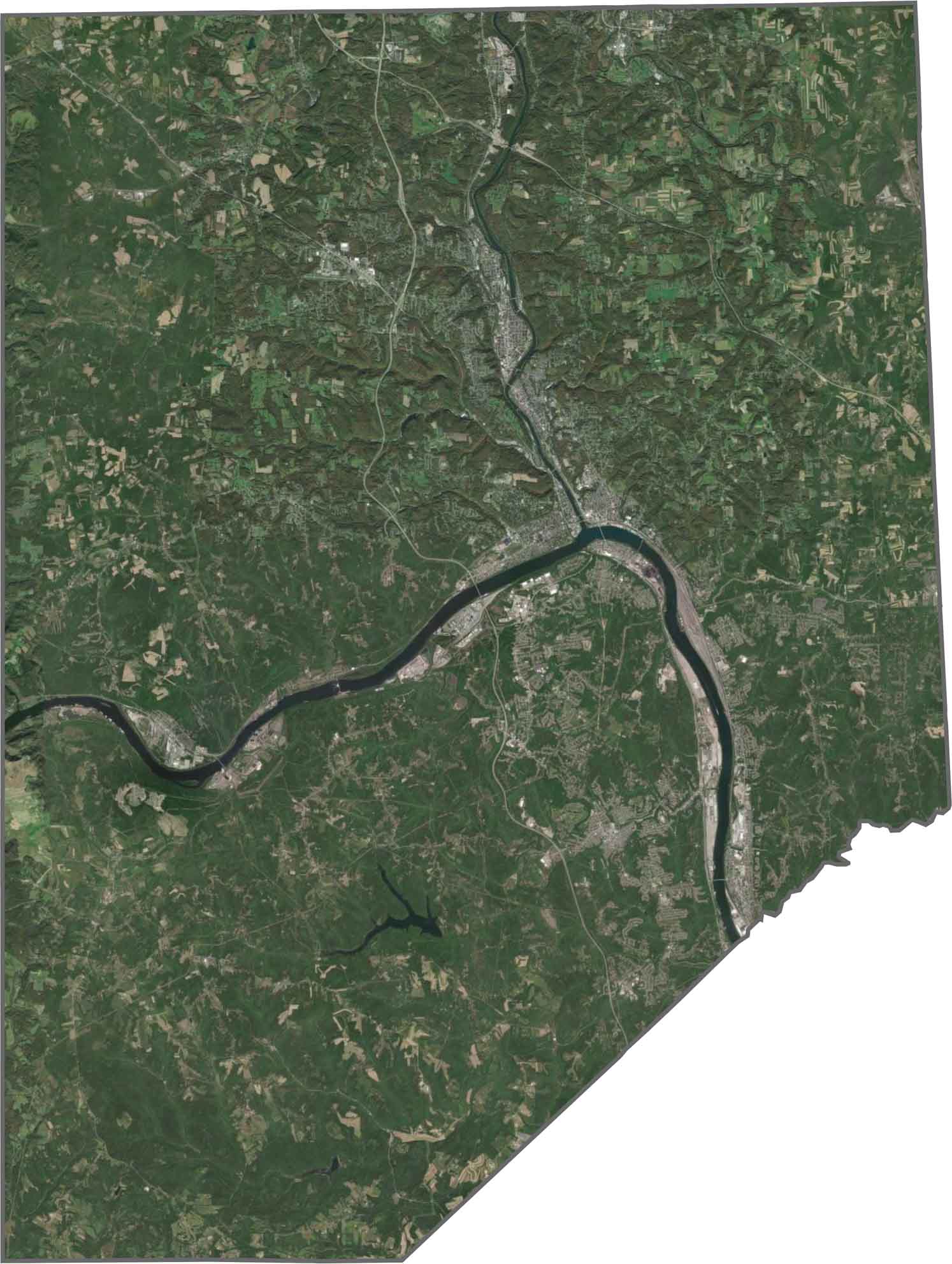
Two major rivers stand out right away, the Ohio and the Beaver River, cutting through the county in wide, dark curves. Pockets of forest appear between towns, and industrial areas cluster near the riverbanks. The rest looks green and low-key, a blend of industry and nature.
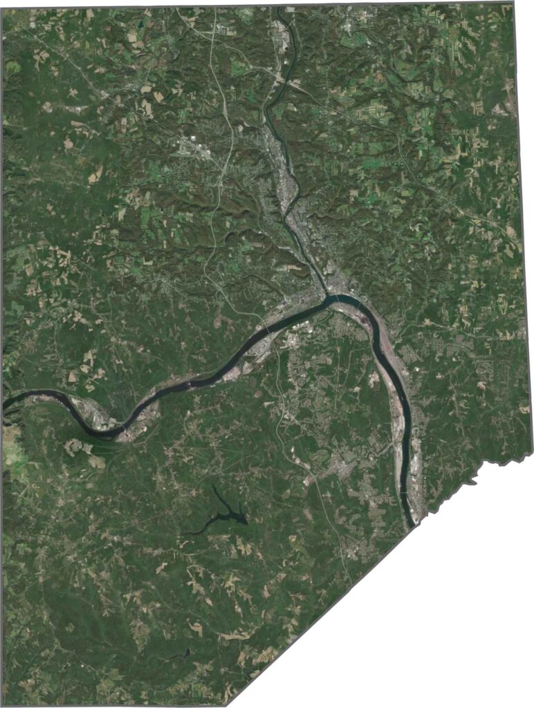
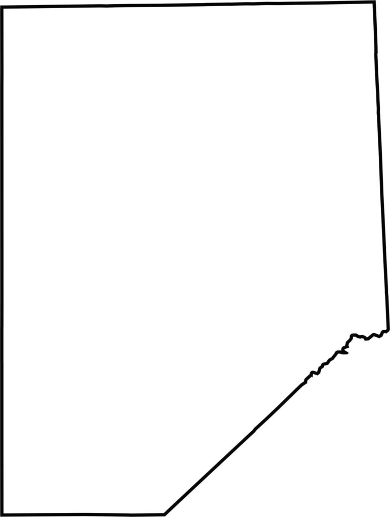
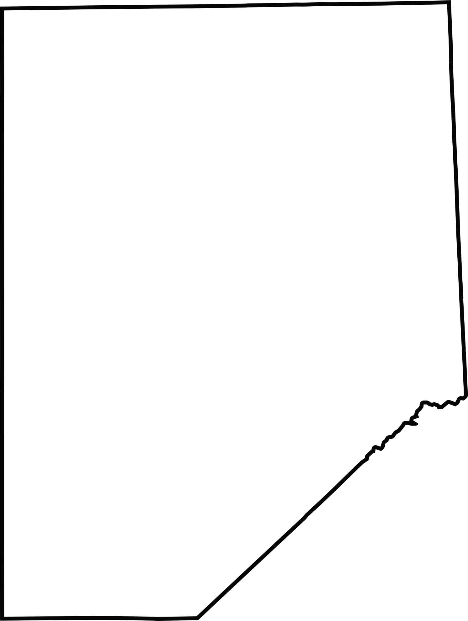
Beaver County has a compact shape with a gentle bend. It borders Ohio to the west, and the rest of the outline has mostly straight edges with few curves.







Pennsylvania's 67 counties take in the glow of the Steel City, quiet Amish country backroads, and escapes in the Pocono Mountains. Distances may differ from place to place, but the stories stay just as rich.