
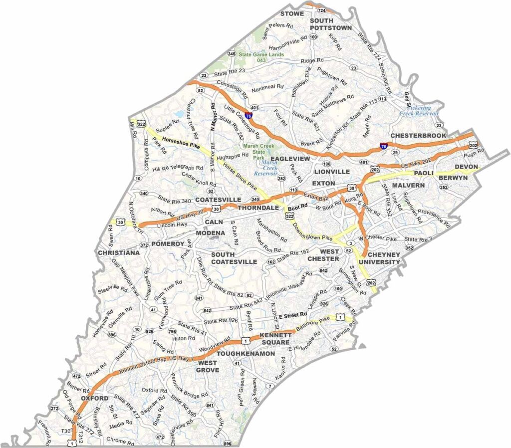
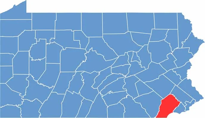
Chester County is just west of Philadelphia, bordering Maryland and Delaware. It's where history meets high-tech. The county is known for its mushroom farms, which produce nearly half of the nation's mushrooms.
The Brandywine Valley paints a pretty picture, and you can still see traces of the Revolutionary War here. Longwood Gardens dazzles visitors with its fountains and flowers.
West Chester, the county seat, is part of the Philadelphia metropolitan area. The Amish community adds to the area's unique character. Despite rapid growth, Chester County keeps its rural charm. From horse country to corporate parks, it's a study in contrasts.
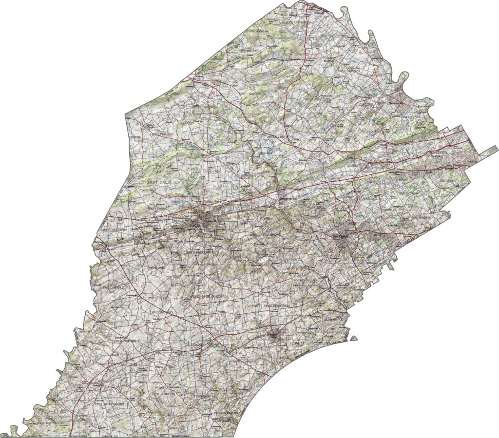
The land here rises and falls with low hills and long valleys. Nothing too steep, but the changes in elevation are constant. The southern half rolls gently, while the north holds more wooded terrain.
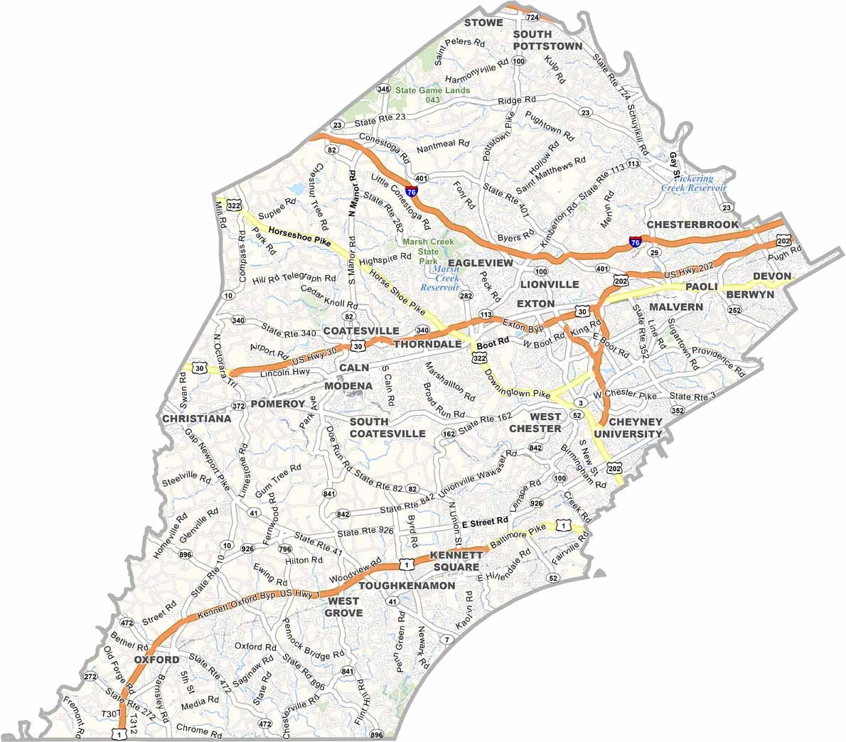
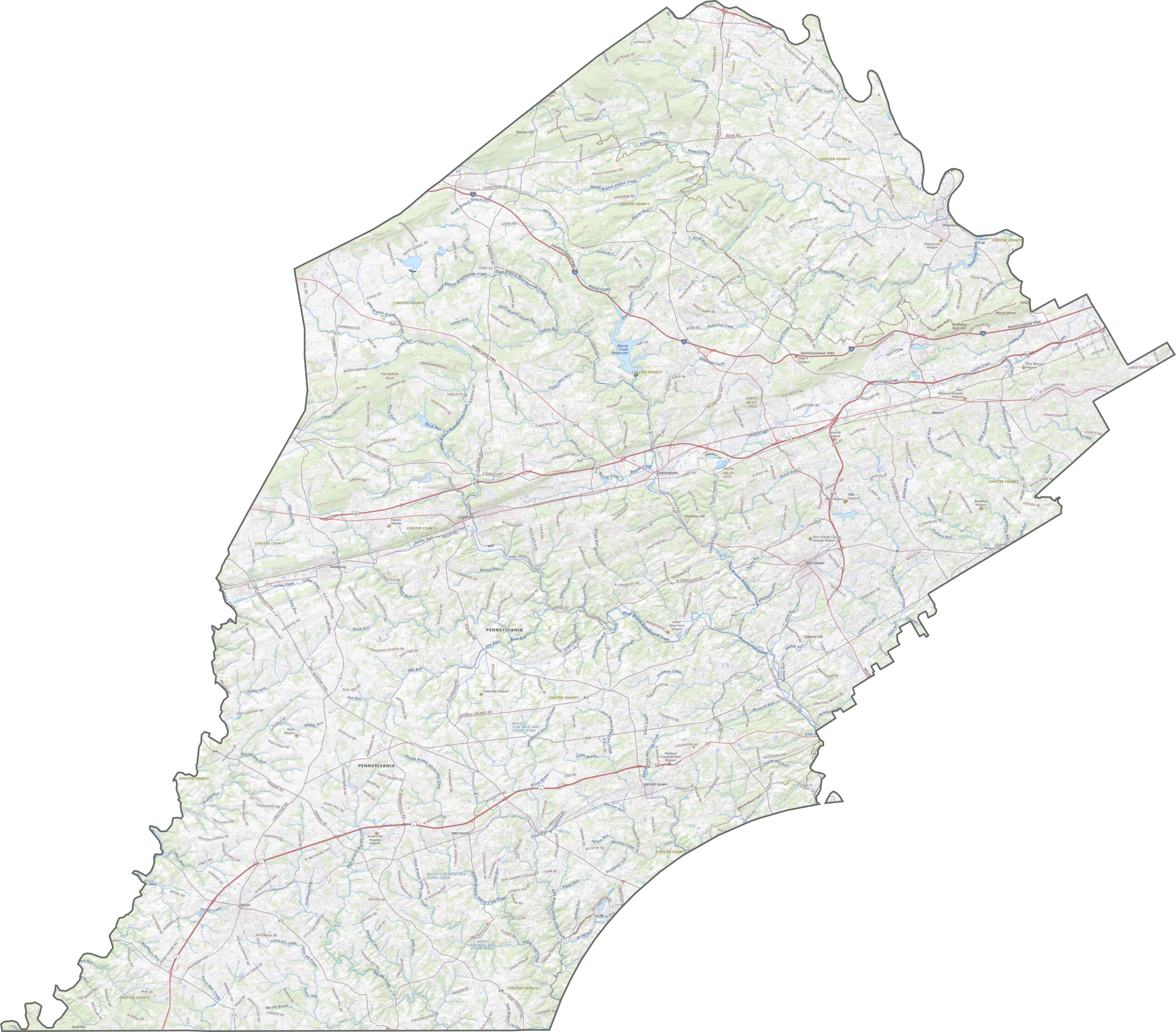
Chester County has a dense and layered highway system. Major routes like Interstate 76, U.S. Highway 30, and U.S. Highway 1 cross the county from edge to edge. We map it all out in our road map below. Try out our zoom tool to see every highway and road.
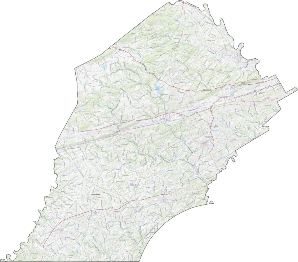
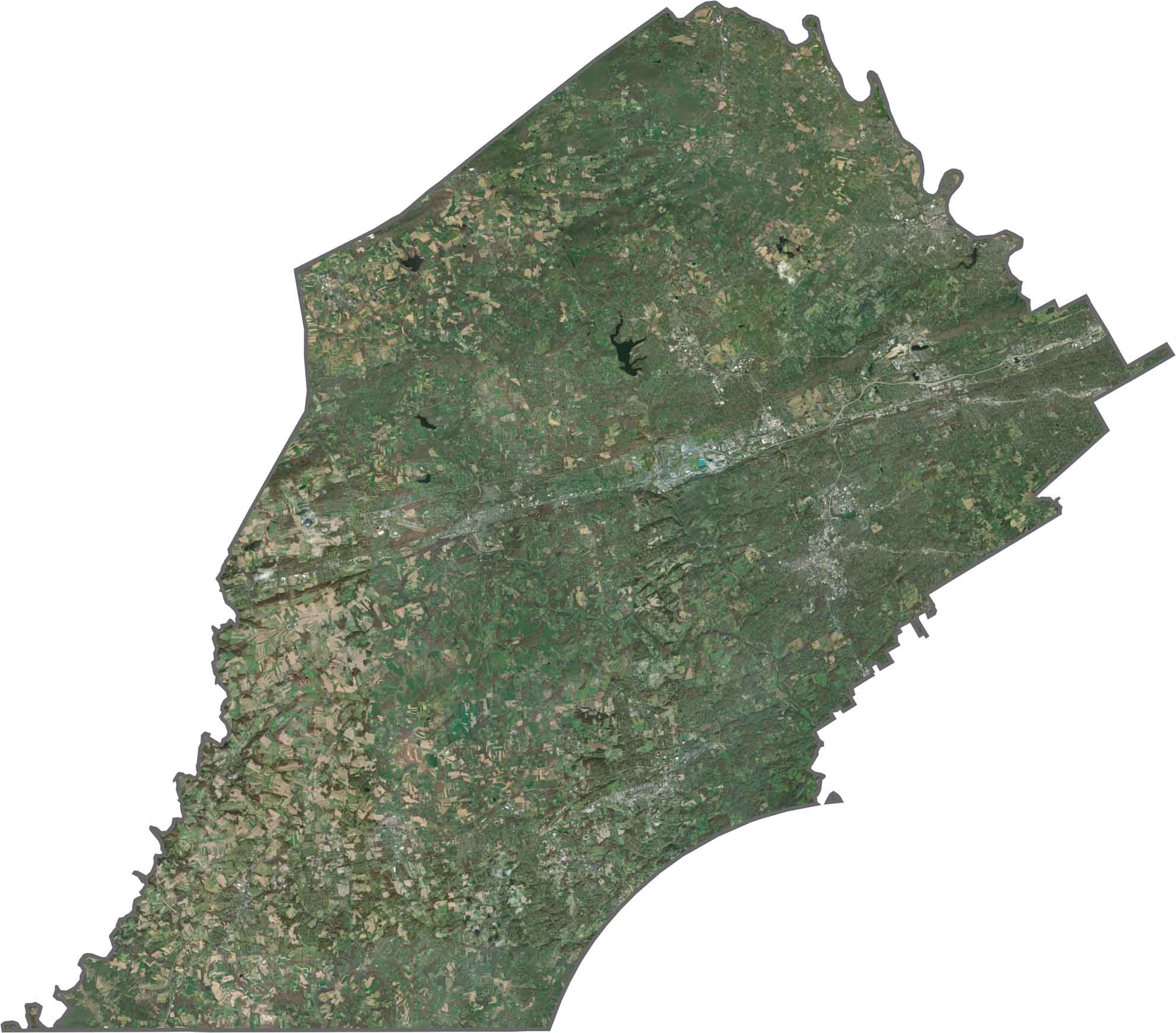
Suburban sprawl is easy to spot, especially in the east. Housing developments form neat clusters, but there's still a lot of green. Fields, woods, and parkland cover much of the county. Farms are scattered, with irregular shapes that stand out against the grid.
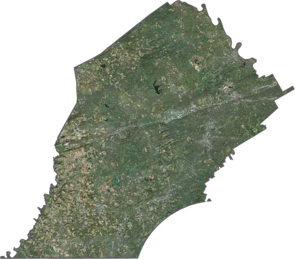
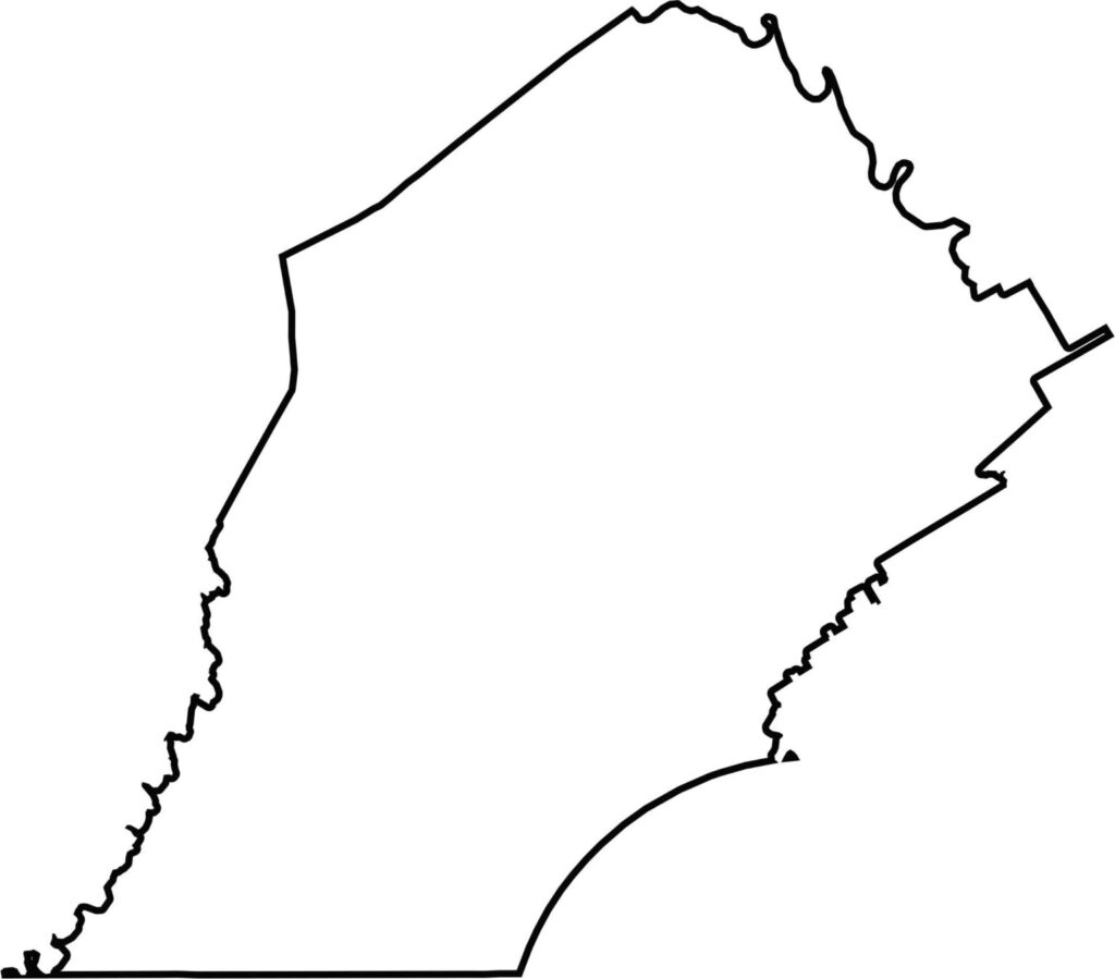
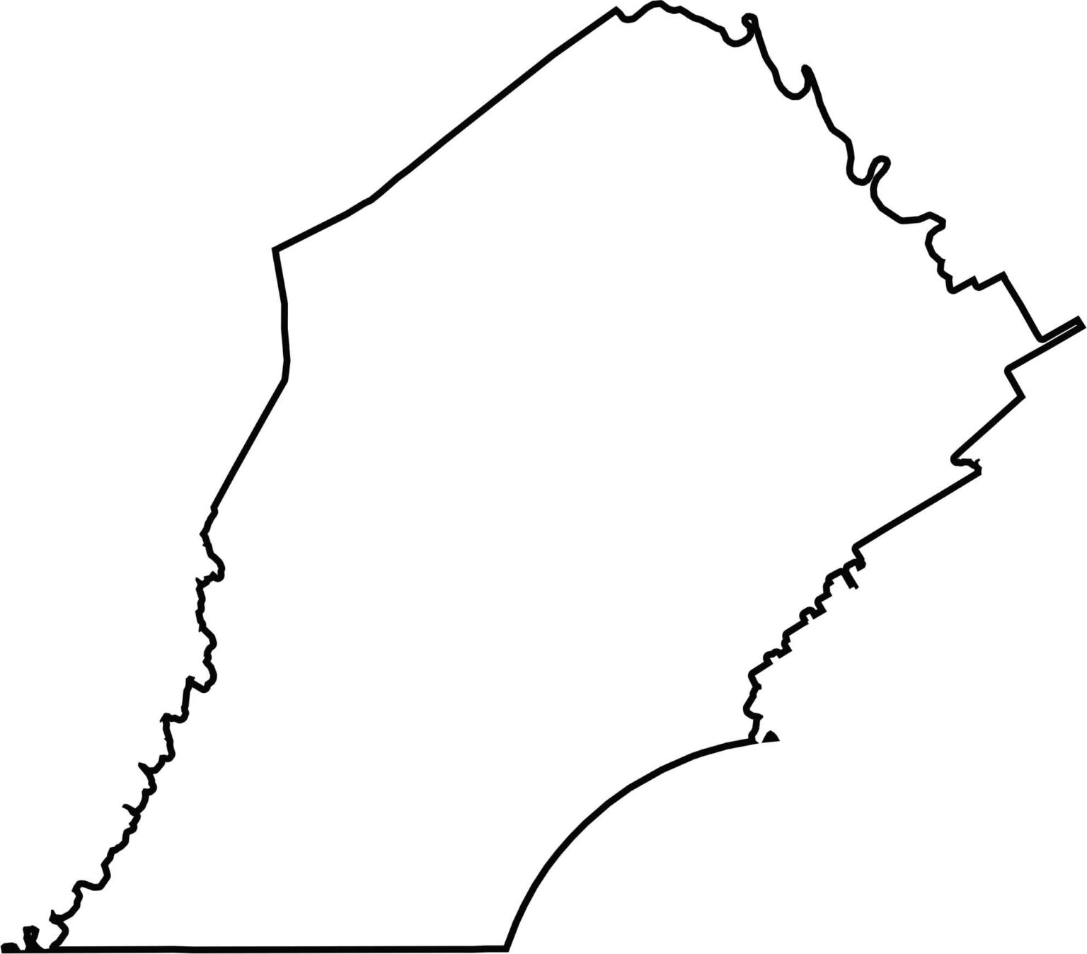
Chester County has an irregular shape. While its southeastern tip is pressed against Delaware, it also borders Maryland to the south.






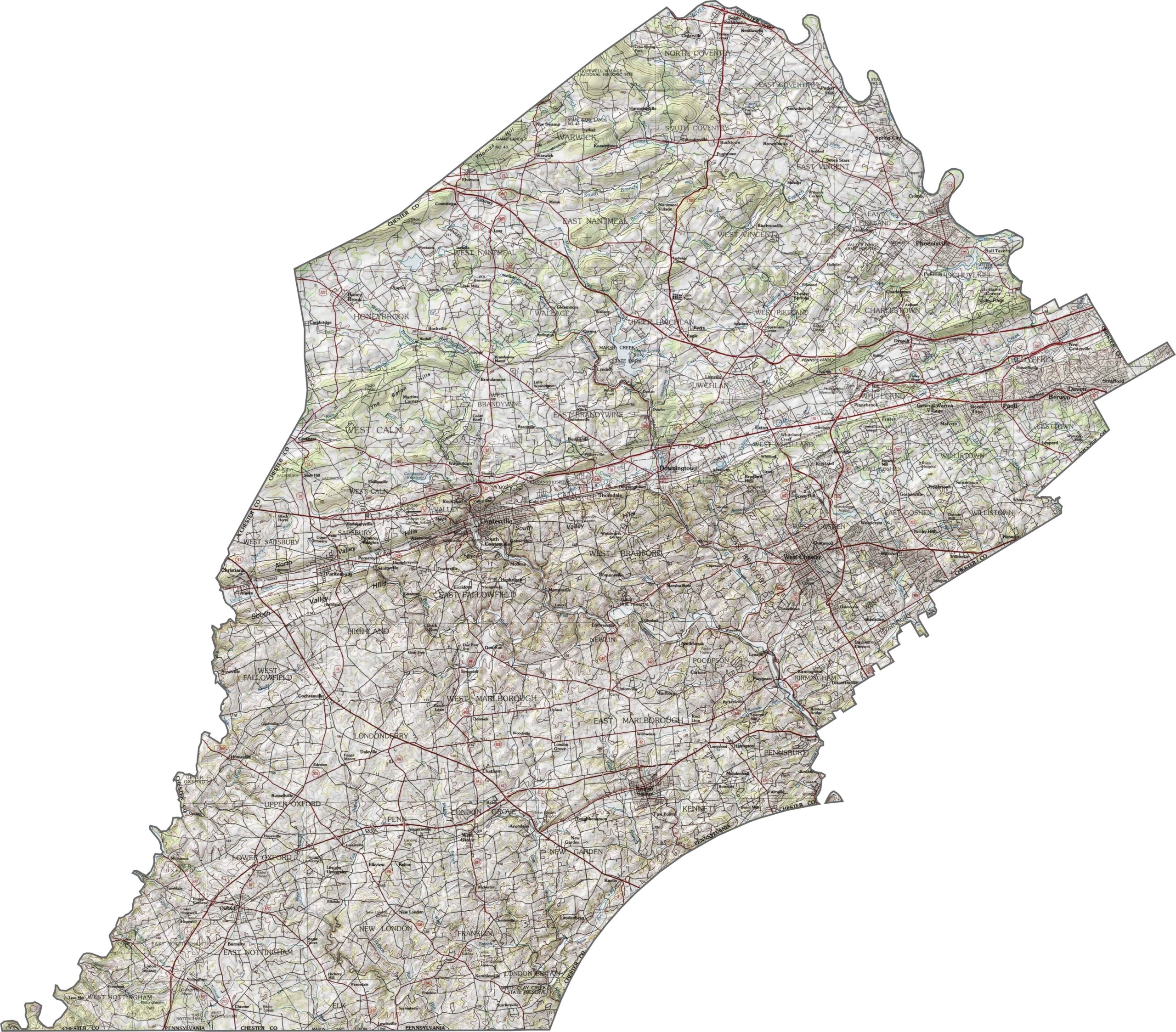

Pennsylvania's 67 counties take in the glow of the Steel City, quiet Amish country backroads, and escapes in the Pocono Mountains. Distances may differ from place to place, but the stories stay just as rich.