
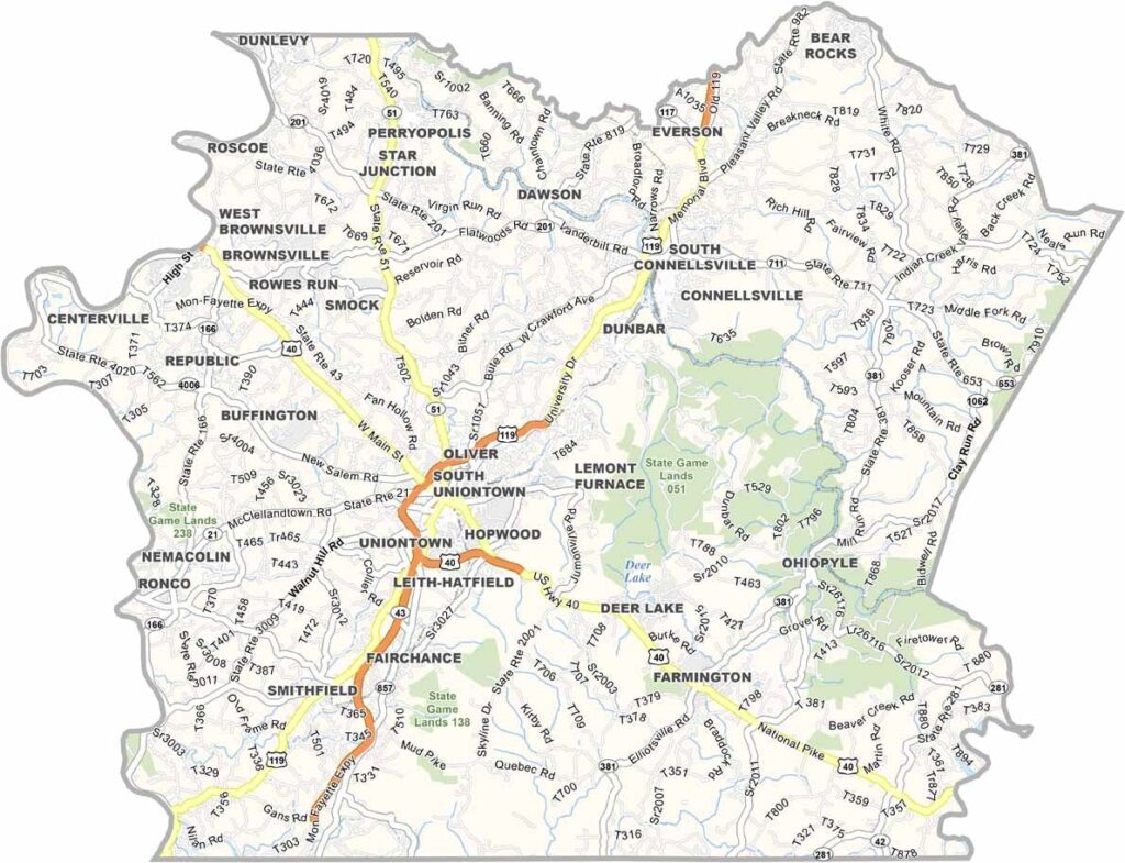
Fayette County sits in southwestern Pennsylvania, bordering West Virginia. Uniontown is the county seat. The Monongahela River forms its western border, which is pretty cool for boating and fishing.
Ohiopyle State Park is a gateway to the Laurel Highlands, with whitewater rafting and killer hiking trails. Visitors come to Fort Necessity, where George Washington fought early in his career.
The county has deep roots in coal mining, but these days tourism is a big deal. Fallingwater is a masterpiece by Frank Lloyd Wright, which brings in architecture nerds from all over.
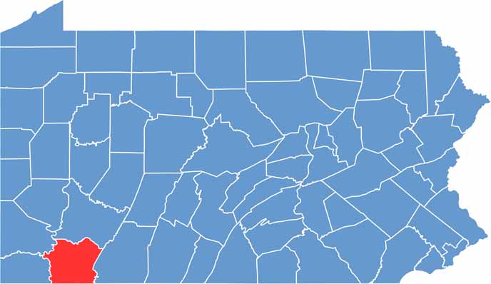
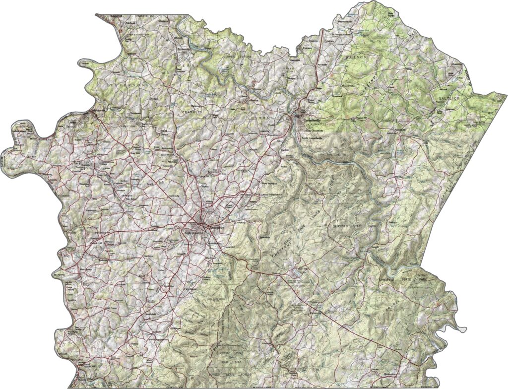
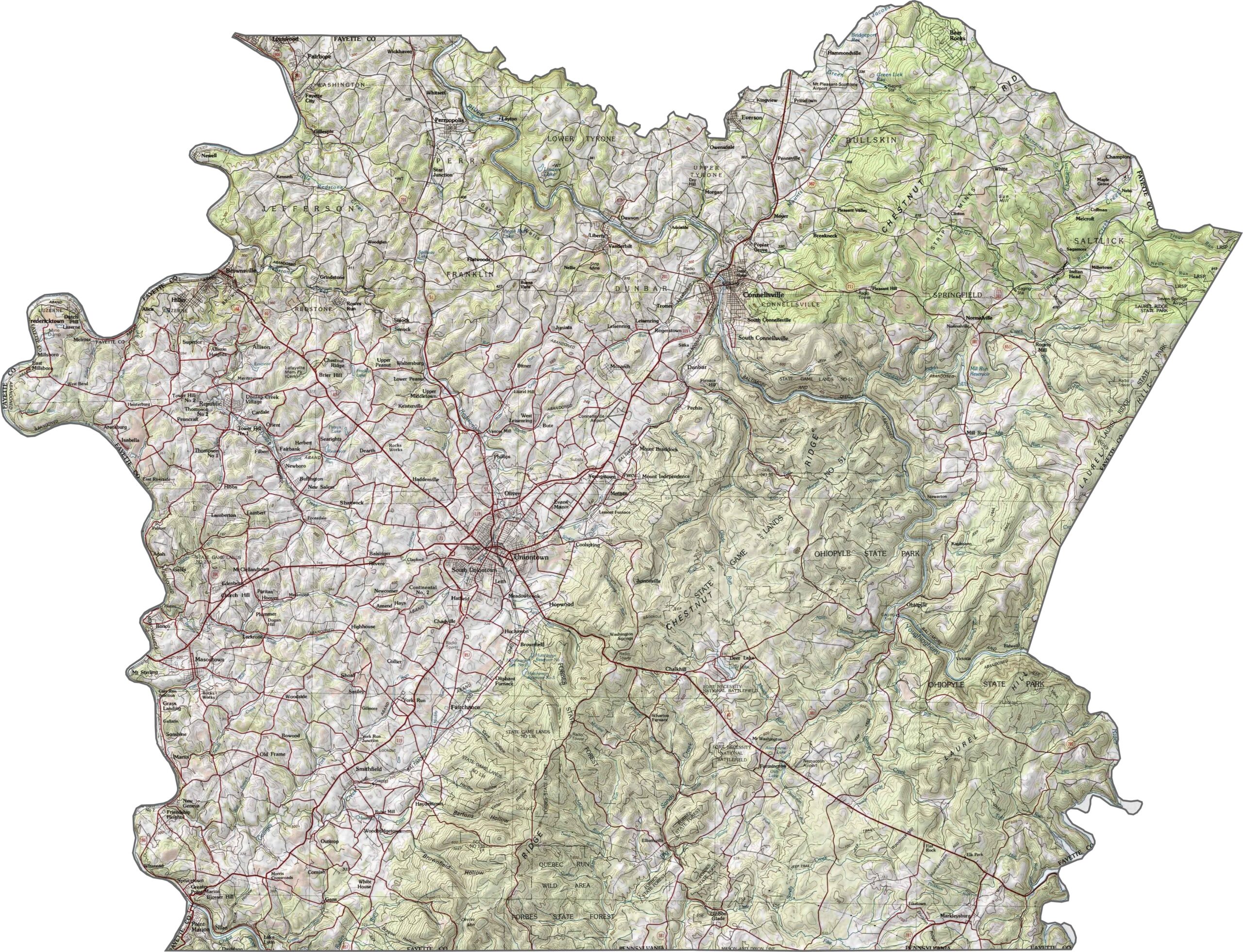
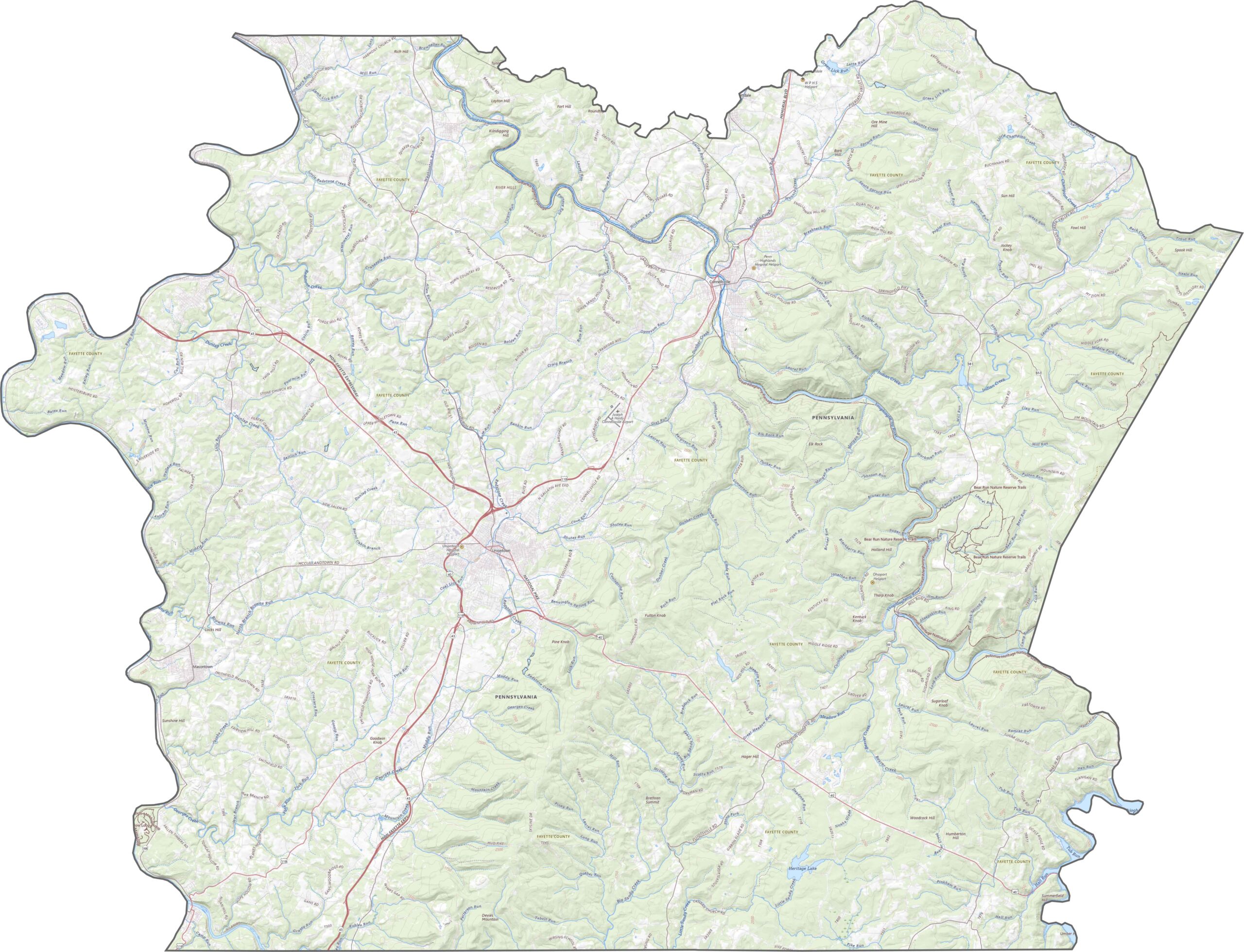
The topography here is dramatic. Ridges and valleys run across the county. The eastern side rises into the Laurel Highlands, where elevation climbs quickly. The west is a little tamer, with wider valleys and gentler slopes.
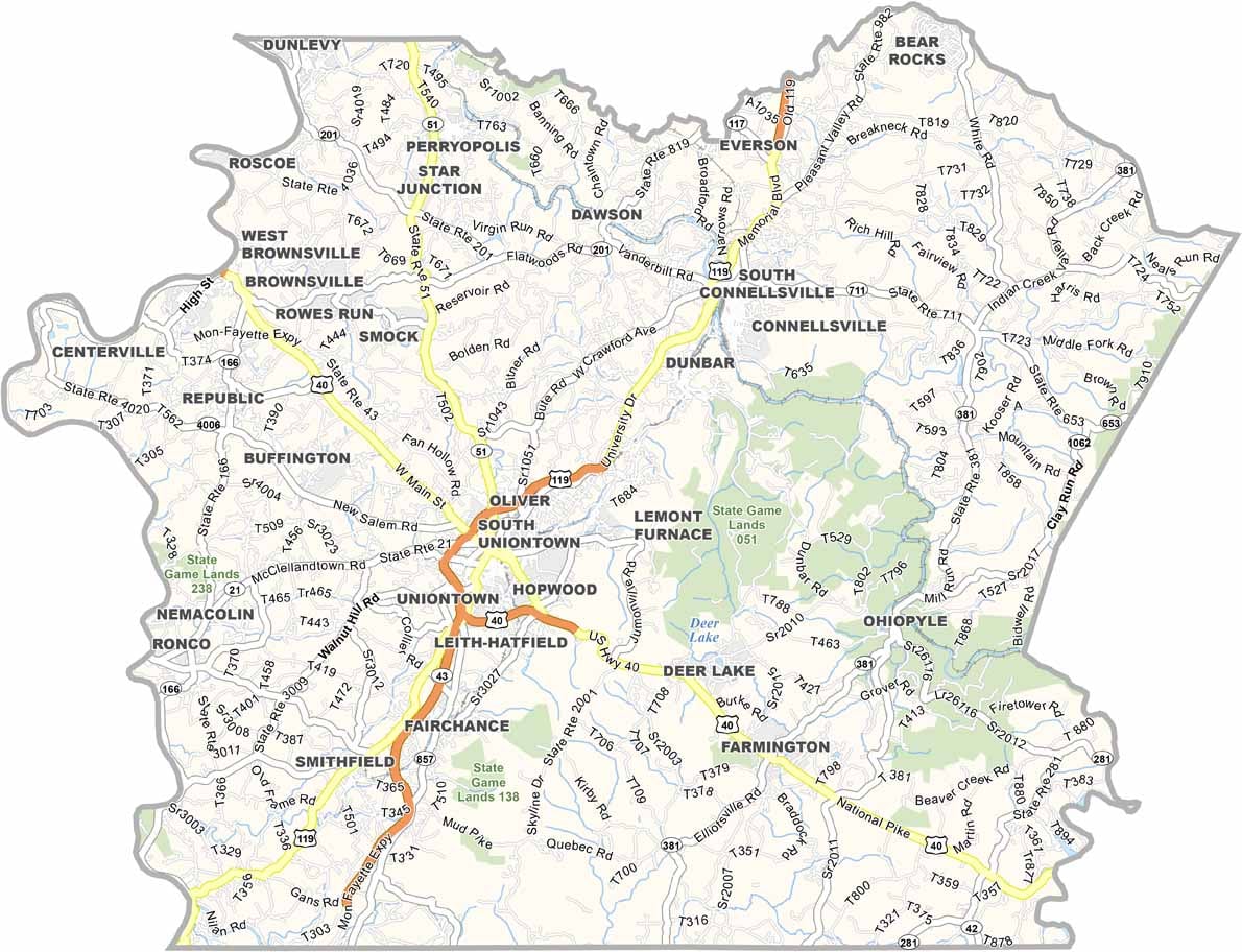
Fayette County's road system is shaped by the hills. Major routes twist through valleys and cross ridges at angles. Though there are straight sections, most highways follow the land instead of fighting it.
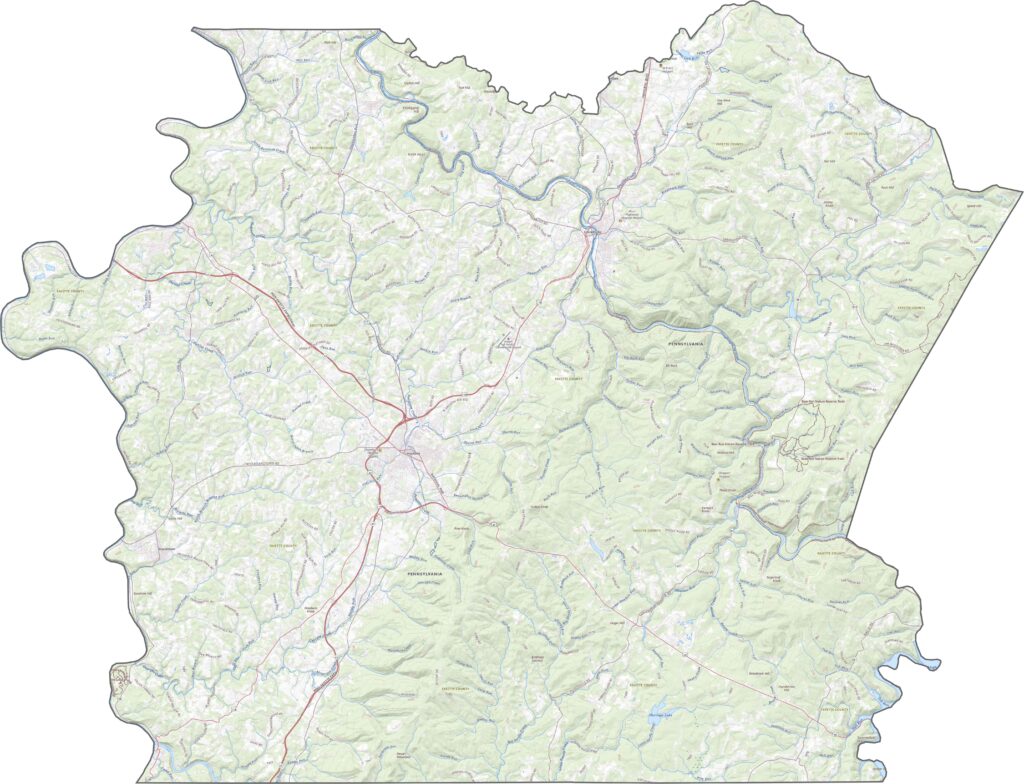
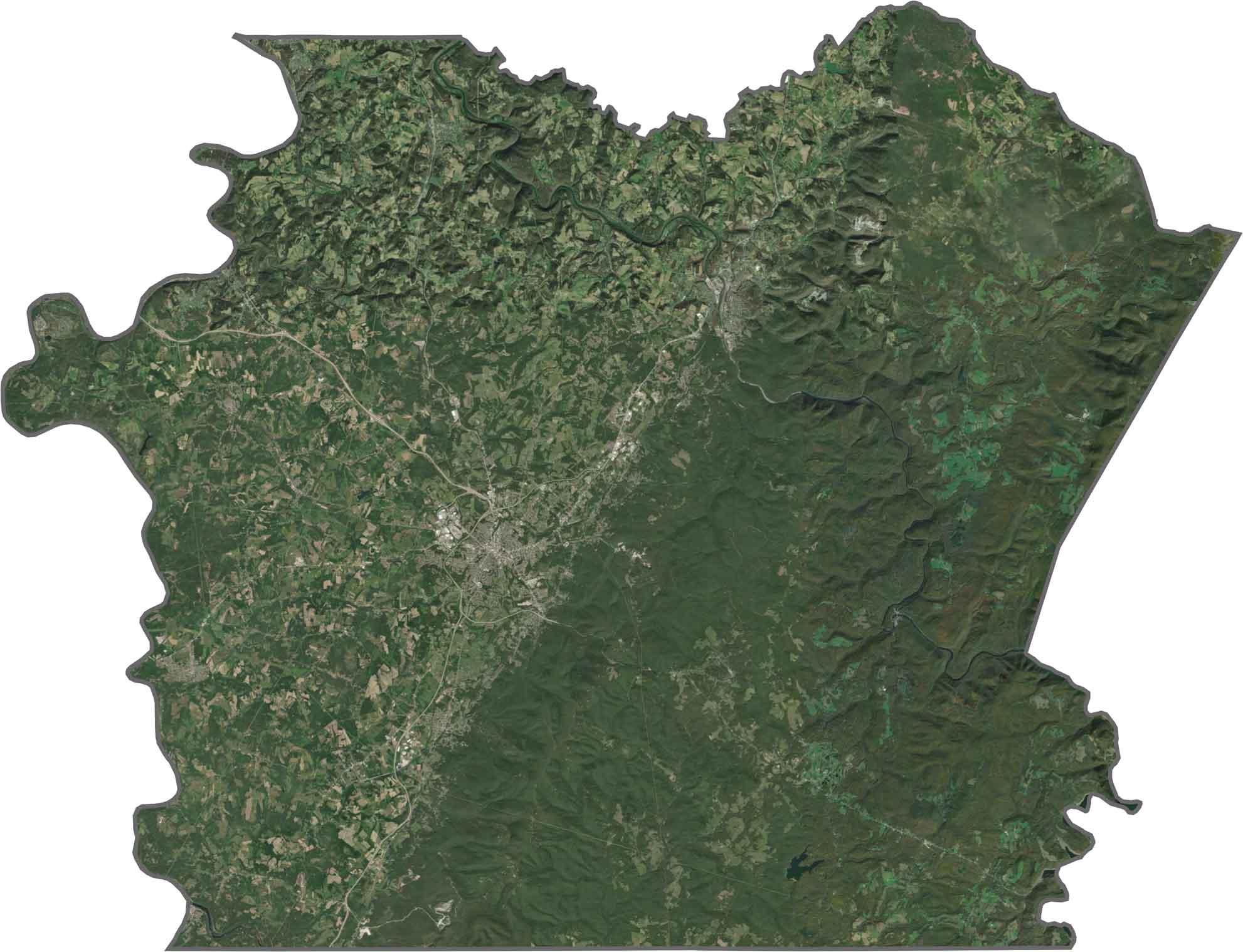
It's a rugged picture from above. Forests cover most of the eastern half, especially on high ground. Towns and roads concentrate in flatter zones. The Monongahela River winds along the western edge, providing a wide, curving landmark.
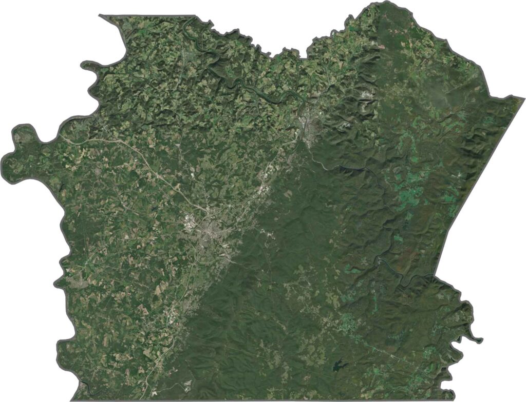
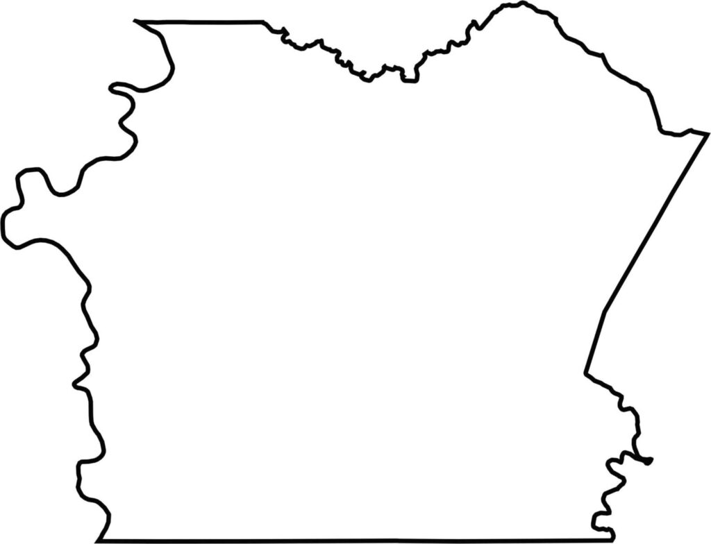
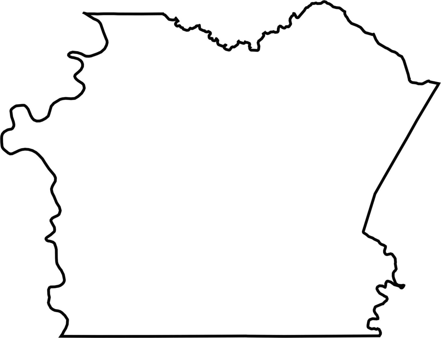
Fayette County has a rugged, uneven shape with a southwest corner that touches West Virginia. The Monongahela River marks part of its western border. The rest of the county line follows survey lines, ridges, and streams, giving it a jagged, irregular outline.







Pennsylvania's 67 counties take in the glow of the Steel City, quiet Amish country backroads, and escapes in the Pocono Mountains. Distances may differ from place to place, but the stories stay just as rich.