Franklin County Map, Pennsylvania

Franklin County, Pennsylvania

Franklin County stretches across south-central Pennsylvania, right up against the Maryland border. Chambersburg, the county seat, has seen its share of history. It was burned down during the Civil War.

These days, it's more about peaches than battles. The county has some serious farmland, especially in the Cumberland Valley.

You can't miss the Appalachian Trail, which cuts right through the eastern part of the county. Whitetail Resort draws skiers in the winter, while Caledonia State Park is great for a summer picnic.
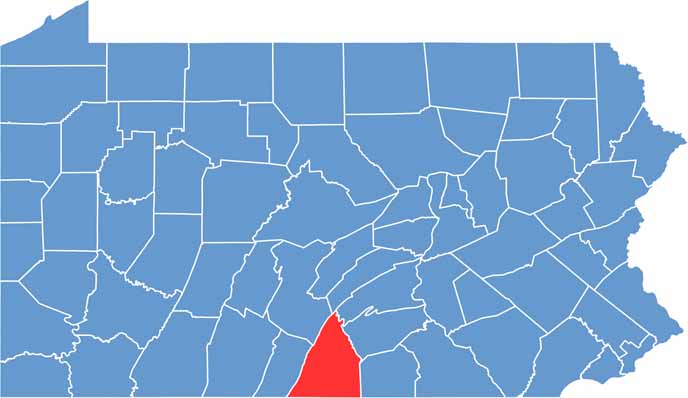
Location map of Franklin County, Pennsylvania
CategoryDetails
County NameFranklin County
County SeatChambersburg
EtymologyNamed after Benjamin Franklin, one of the Founding Fathers of the United States
Cities, Towns, and CommunitiesChambersburg, Waynesboro, Greencastle, Mercersburg, Shippensburg
Interstates and HighwaysInterstate 81, U.S. Highway 11, U.S. Highway 30
FIPS Code42-055
Total Area (Land and Water)773 square miles (772 sq mi land, 1 sq mi water)
Adjacent Counties (and Direction)Juniata County (North), Perry County (Northeast), Cumberland County (Northeast), Huntingdon County (Northwest), Adams County (East), Frederick County, Maryland (Southeast), Washington County, Maryland (South), Fulton County (West)
Time ZoneEastern Time Zone (EST)
StatePennsylvania
Coordinates39°56'N, 77°39'W
Major LandmarksCaledonia State Park, Buchanan's Birthplace State Park, Michaux State Forest, Franklin County Historical Society
PopulationApproximately 155,000

PHYSICAL MAP

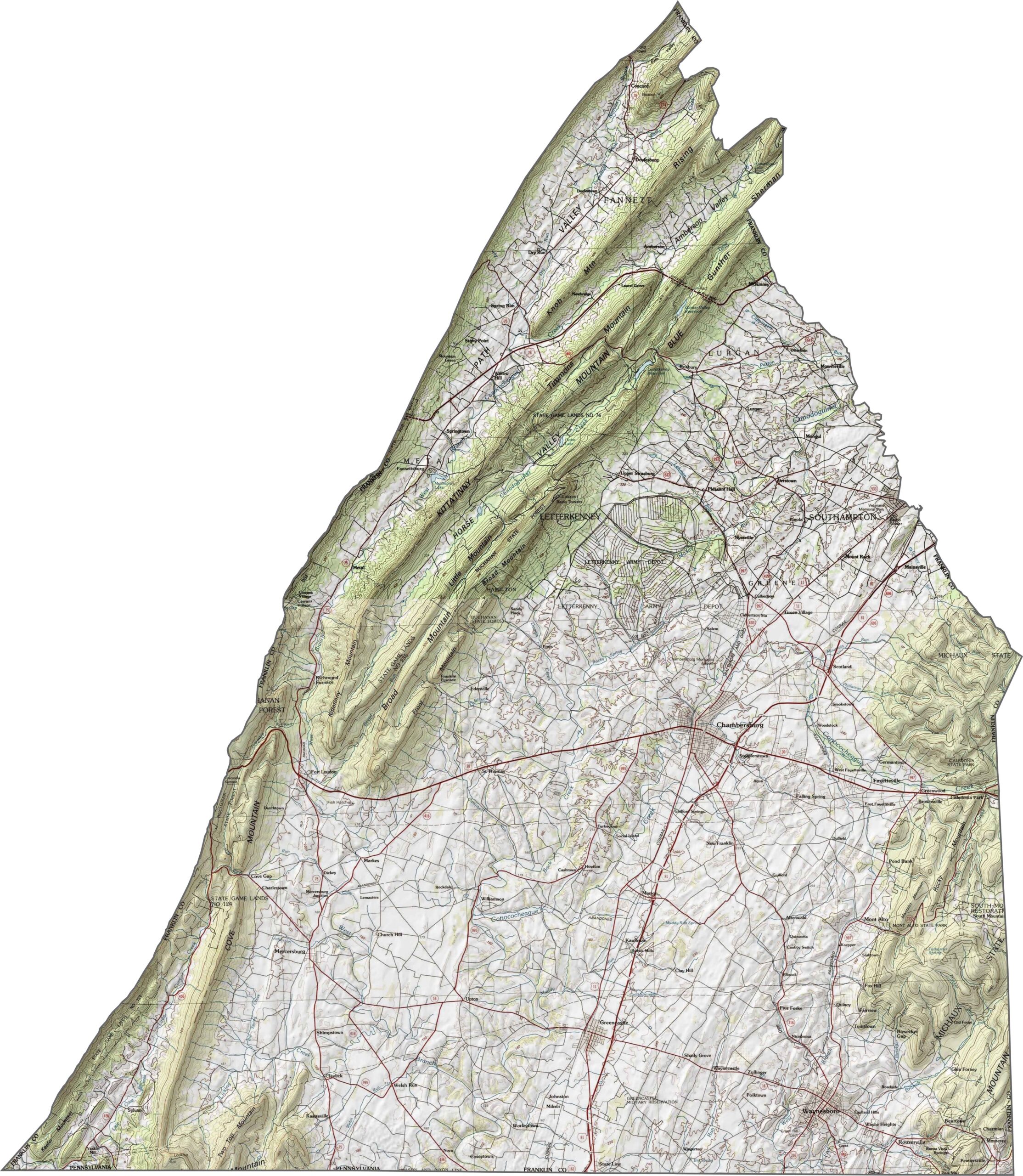
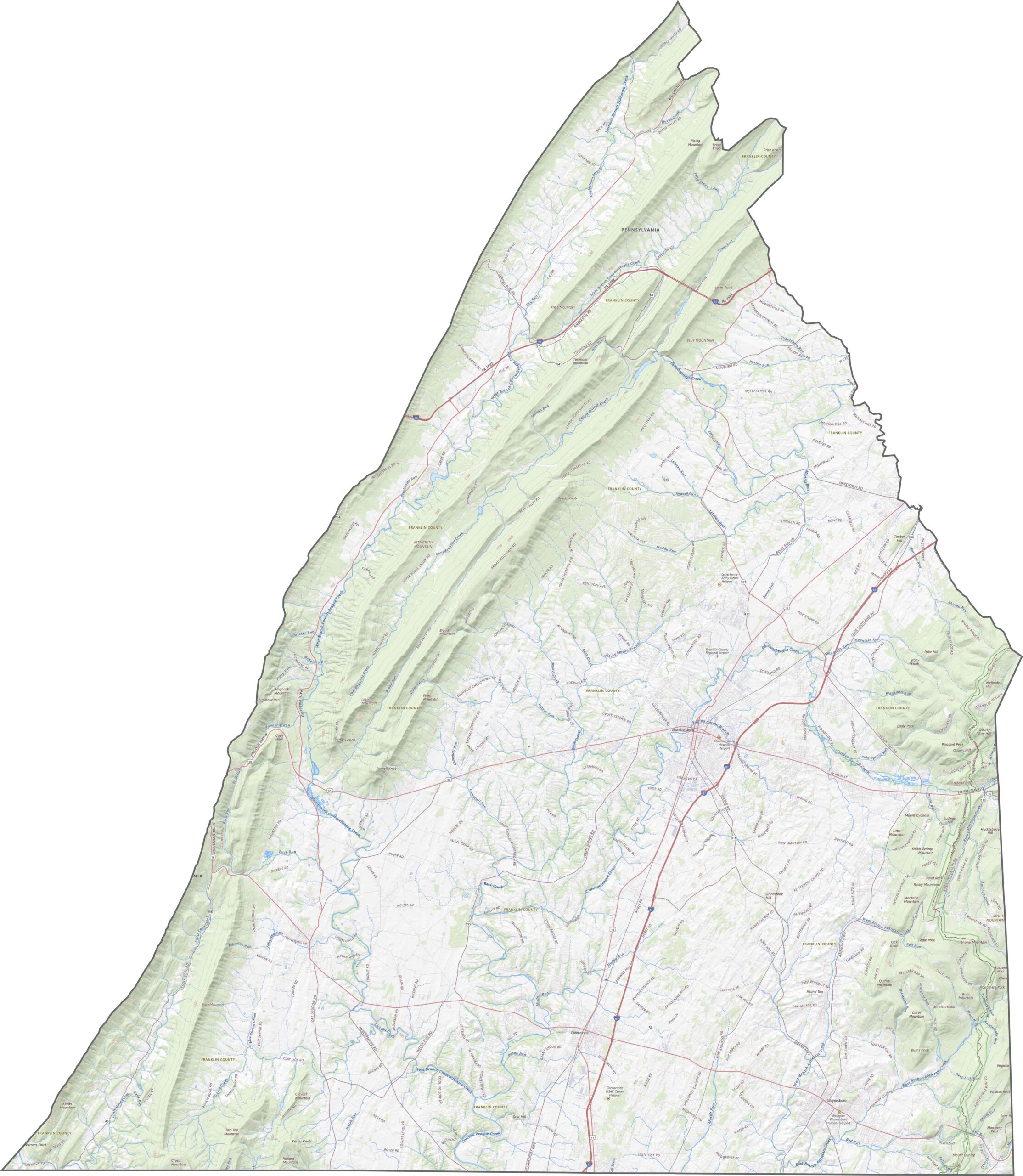
Franklin County Topographic Map

This county sits right in the Ridge and Valley region. The land ripples with long, narrow ridges and wide valleys. The elevation climbs in the west, but the middle stays fairly open. Farmland and forest take turns filling the space.
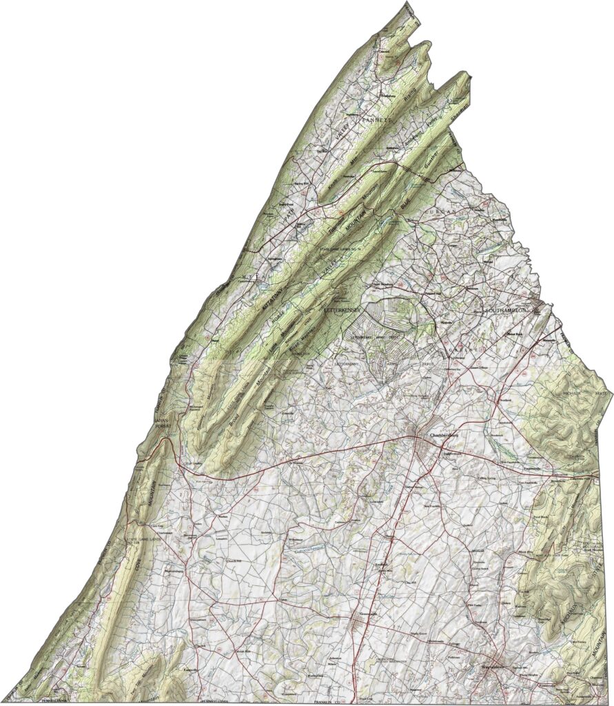
Franklin County topographic map of Pennsylvania

TRANSPORTATION MAP

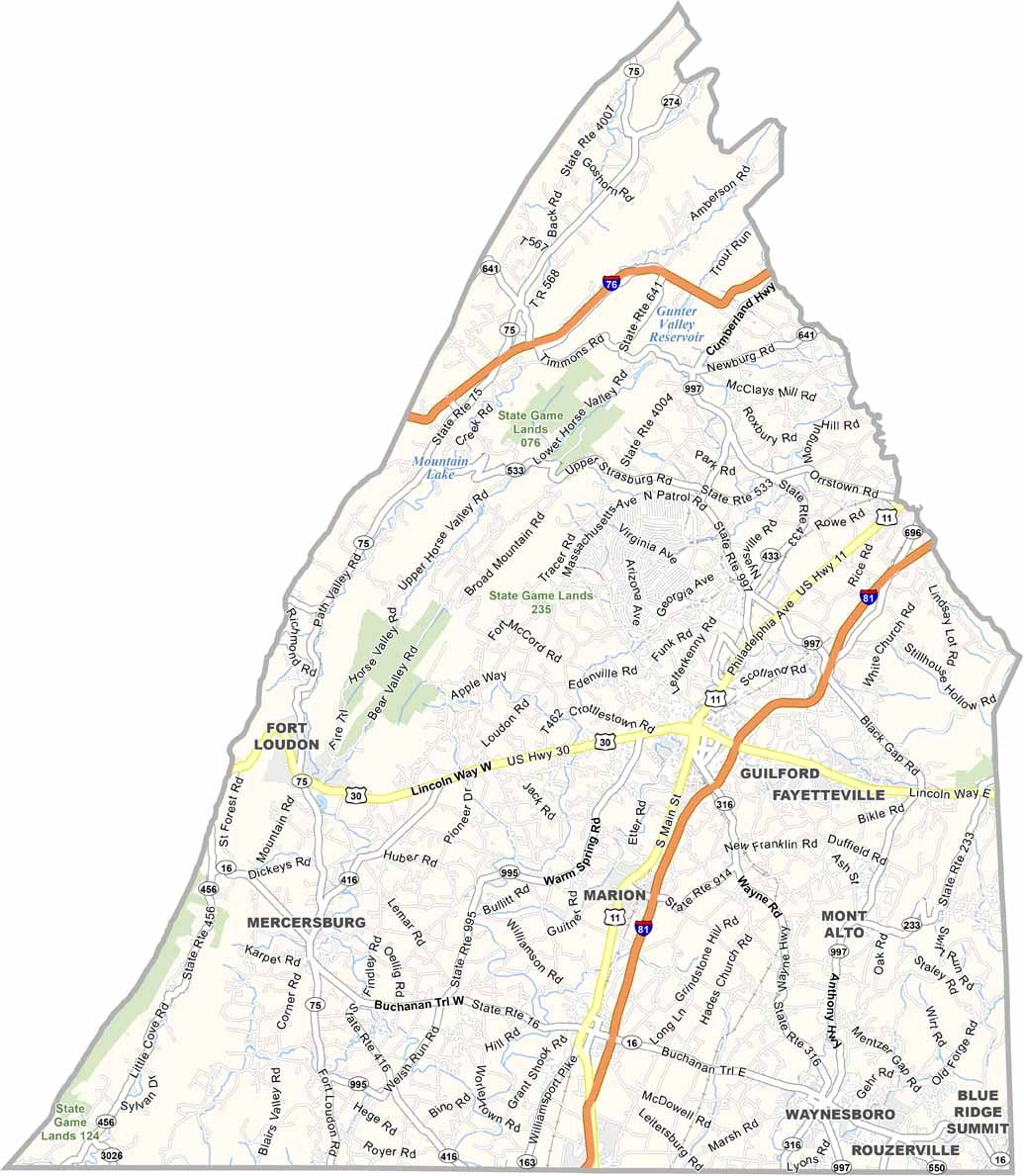
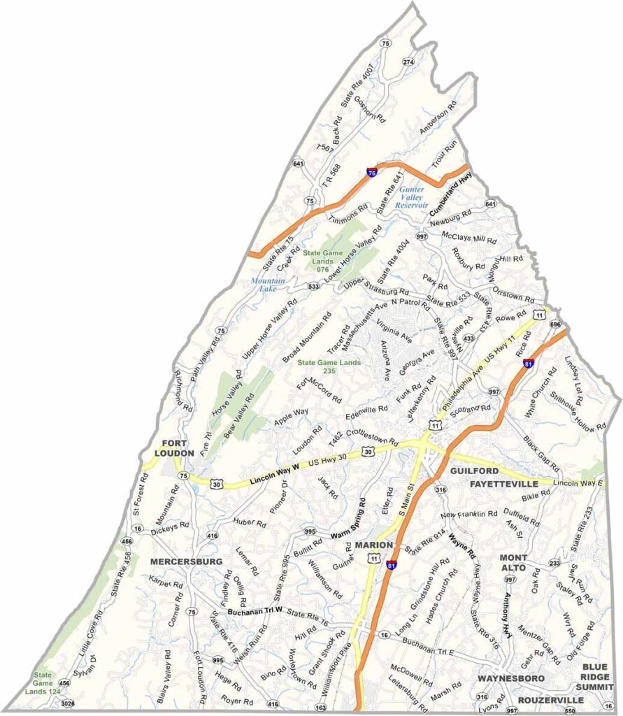
Franklin County Road Map

Franklin County's roads stretch long and straight through wide valleys. Interstate 81, Interstate 76, and U.S. Highway 30 are the major highways here.
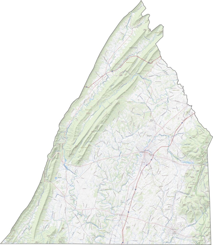
Franklin County road map of Pennsylvania

SATELLITE IMAGERY

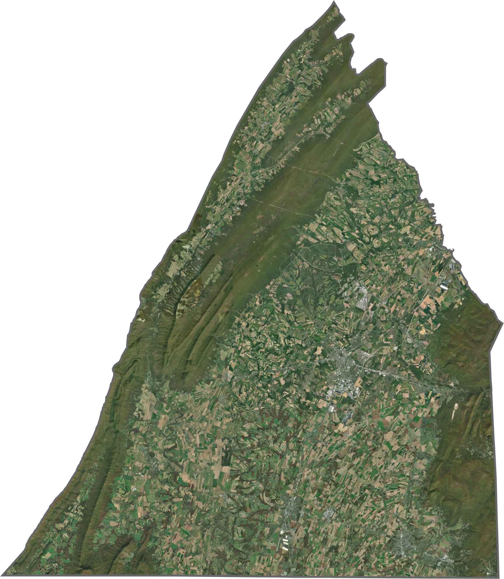
Franklin County Satellite Map

In our Franklin County satellite map, you'll see plenty of fields, big rectangular plots that fill the central valley. Forests stretch across the ridges on either side.
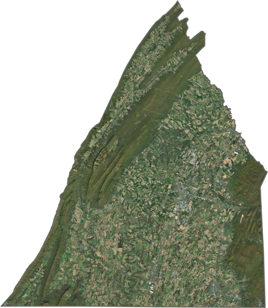
Franklin County satellite map of Pennsylvania

OUTLINE MAP

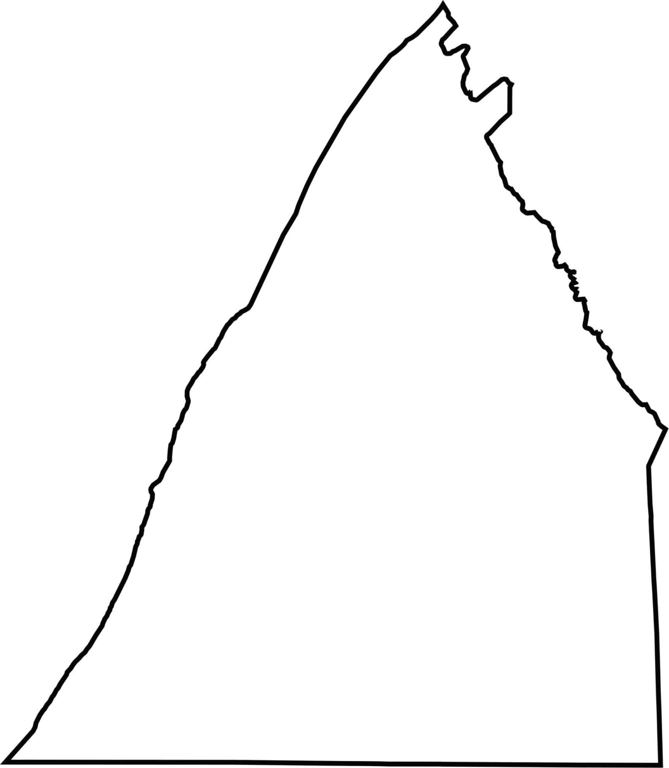
Franklin County Blank Map

Franklin County has a tall, triangular shape that looks a bit like an arrowhead pointing north. Its southern border meets Maryland. The shape is clean and easy to spot on a map.
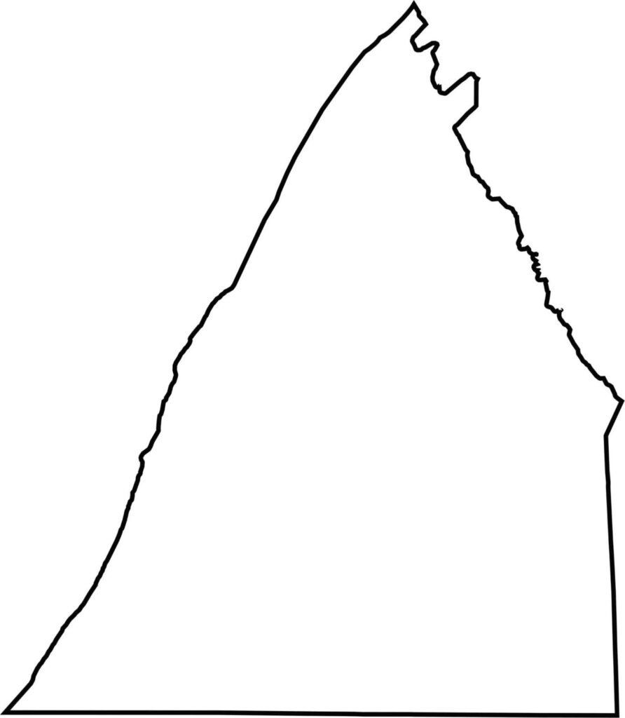

Franklin County outline map of Pennsylvania

Pennsylvania County Map

Pennsylvania map showing major cities, roads, and state boundaries.

Pennsylvania's 67 counties take in the glow of the Steel City, quiet Amish country backroads, and escapes in the Pocono Mountains. Distances may differ from place to place, but the stories stay just as rich.

Scroll to Top