
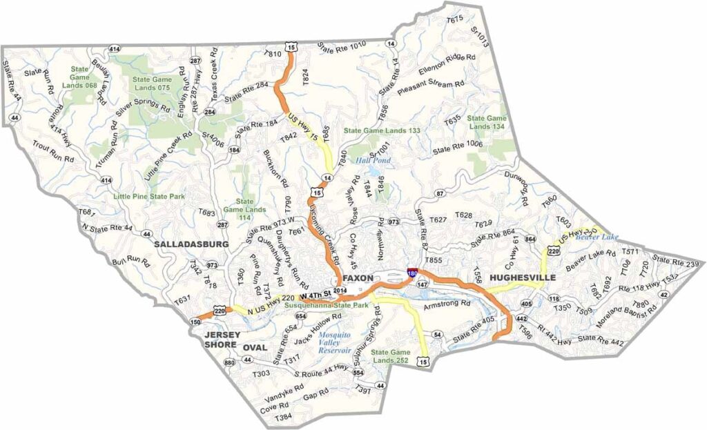
North-central Pennsylvania is home to Lycoming County, the largest county by land area in the state. Williamsport is the county seat, and baseball fans come here for the Little League World Series.
The county has a mix of everything: cities, small towns, and lots of forests. Hiking trails crisscross the Tiadaghton State Forest, and fishing is popular too, especially in Pine Creek.
The county's history goes way back, as it was formed in 1795. Lumber was king here for a long time. Now, manufacturing and healthcare drive the economy.
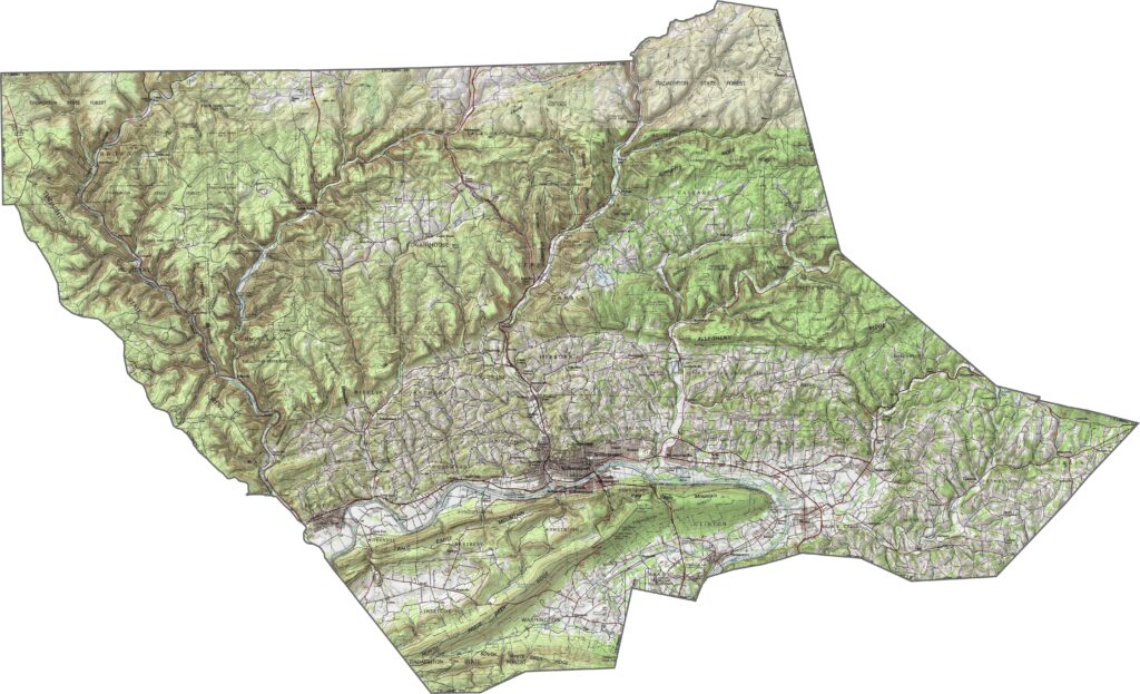
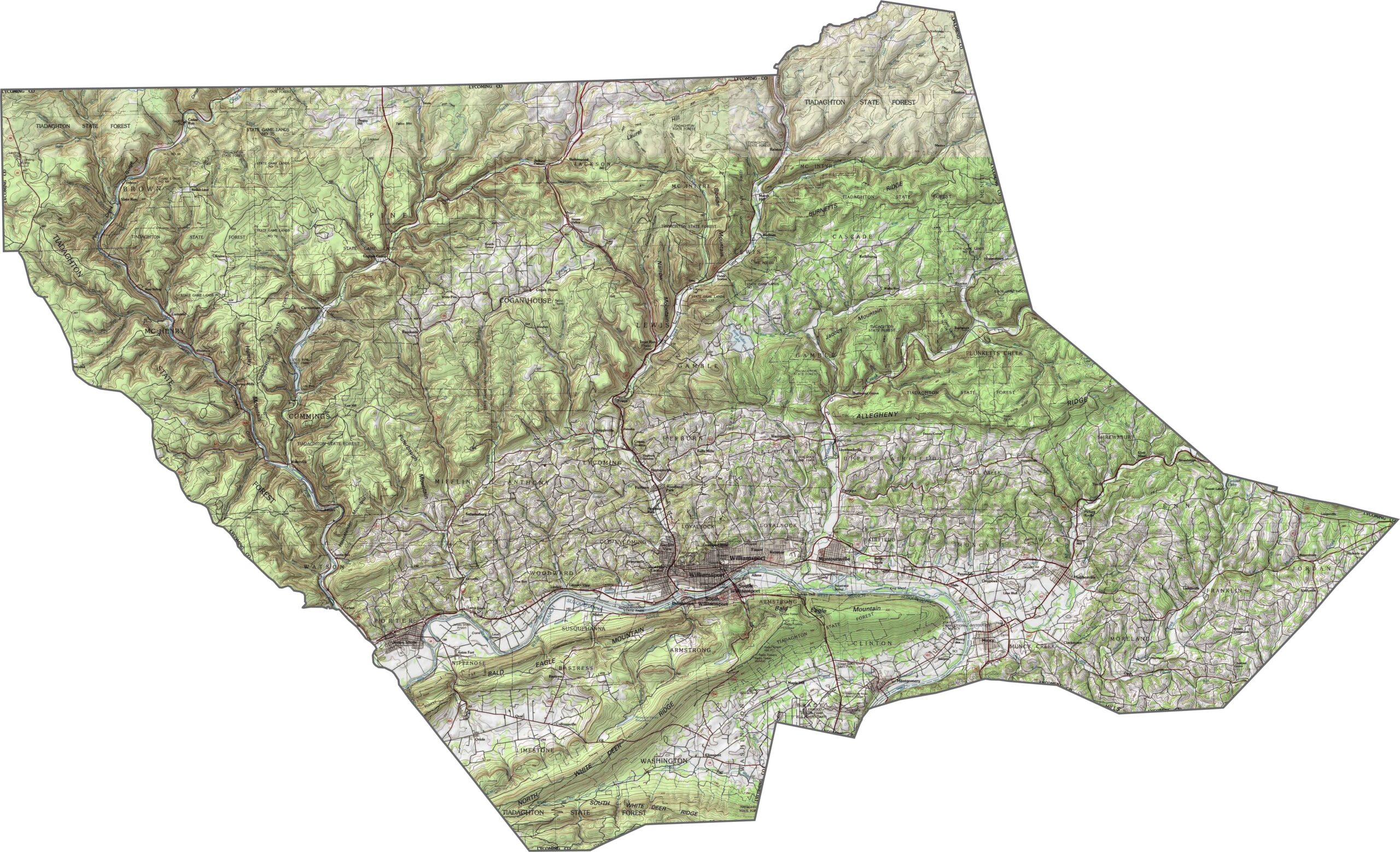
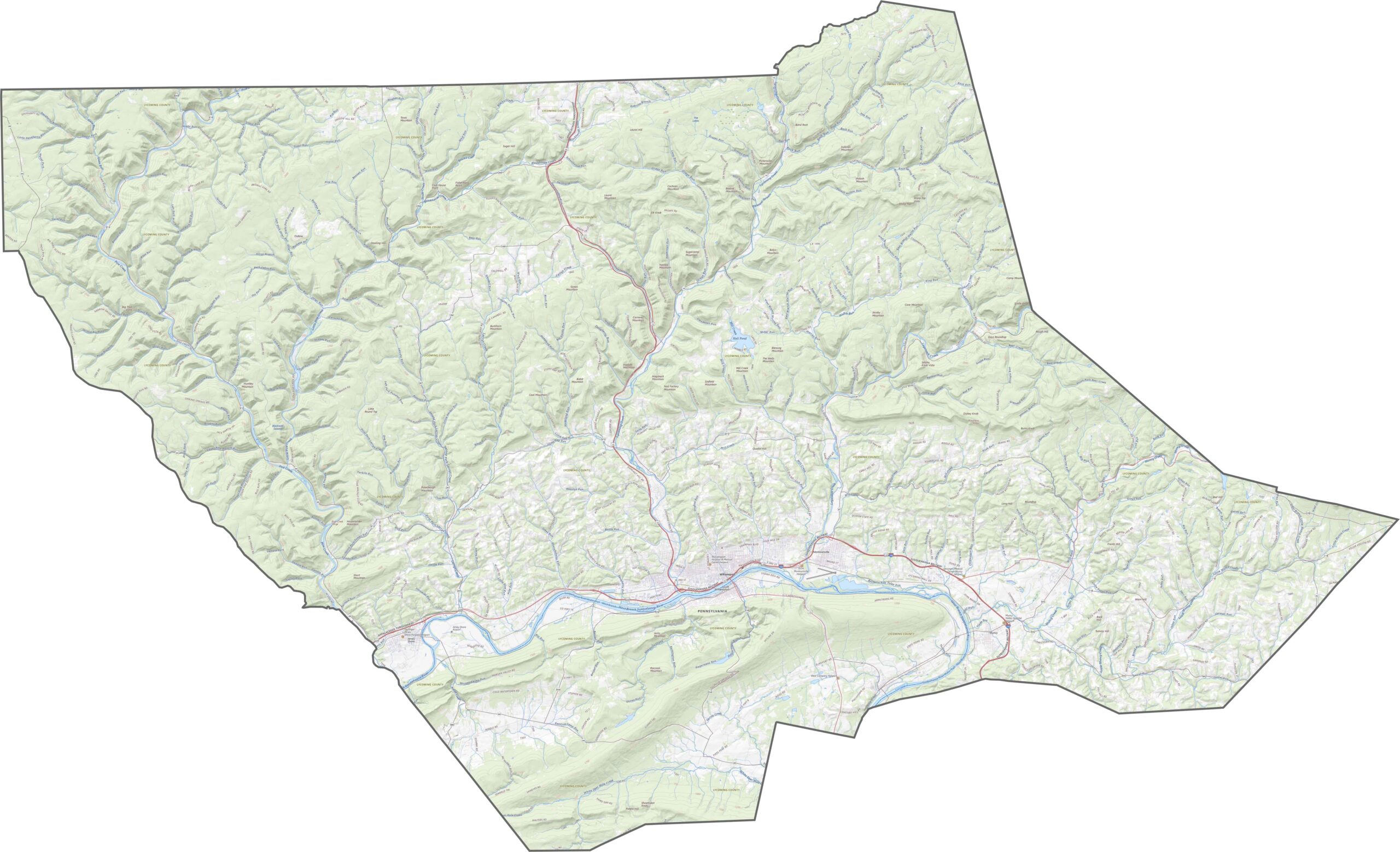
Lycoming County is mountainous, forested, and full of ridges. Elevation rises fast in the north and west. The valleys are narrow, but they cut deep. It's classic Pennsylvania Wilds: rugged, remote, and shaped by time and water.
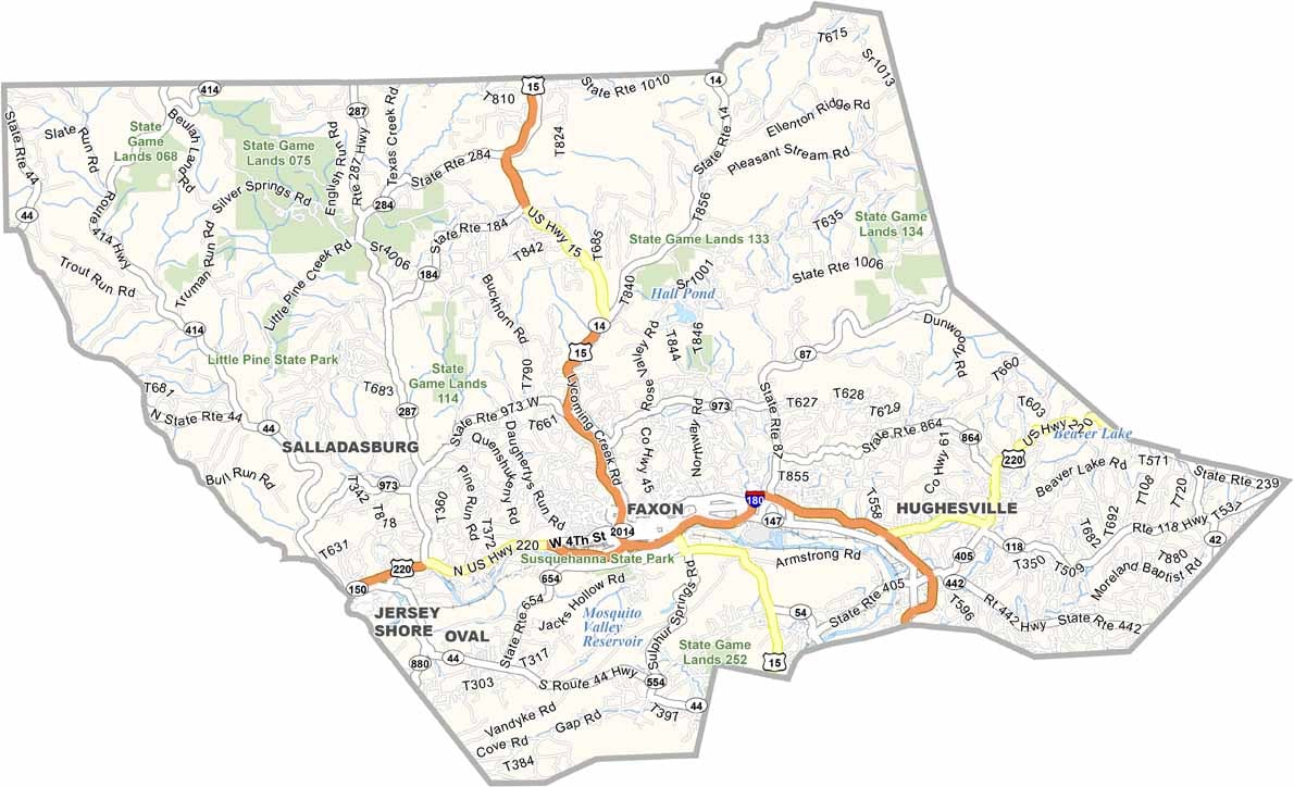
Lycoming County's roads stretch across a massive area, but they're surprisingly sparse in some regions. Main highways stick to the valleys, while others wind through thick forest and steep hills.
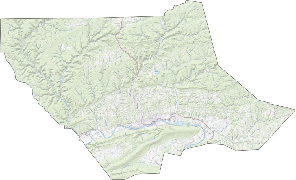
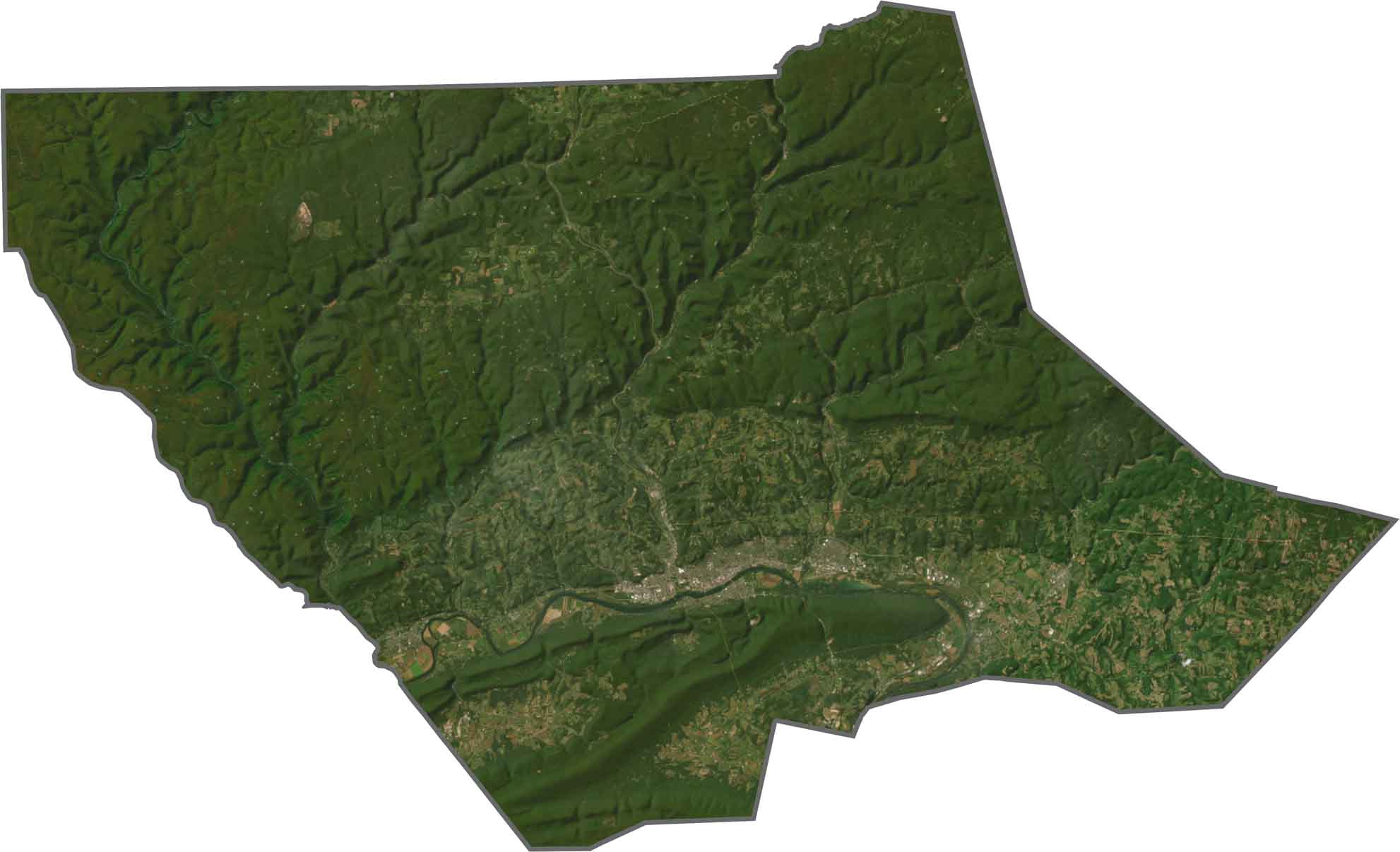
From above, Lycoming County looks mostly green. Dense forests dominate, especially in the north. Williamsport stands out as a gray cluster near the river. The rest is a mix of wooded hills, narrow valleys, and winding creeks. There's a lot of untouched land here.
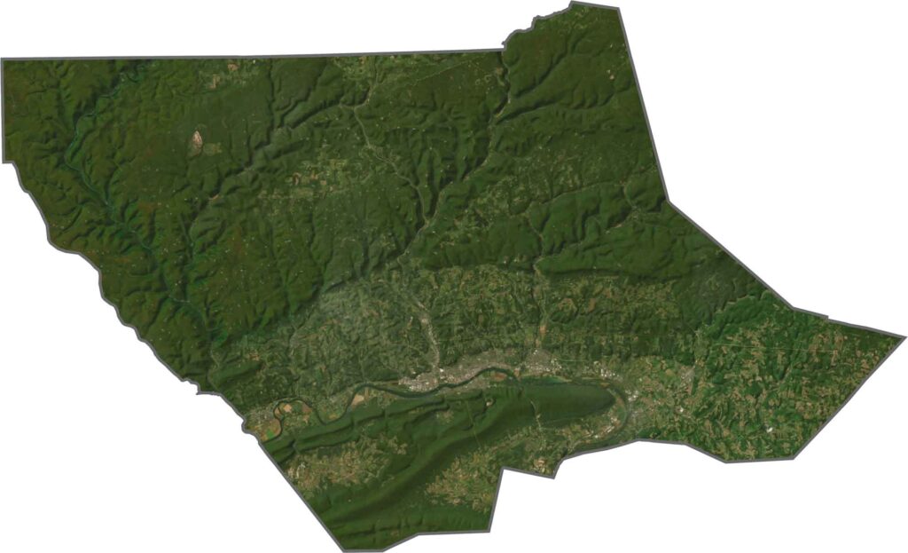
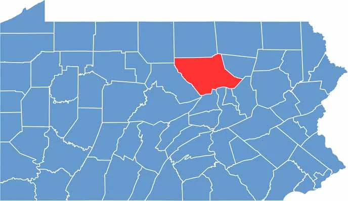
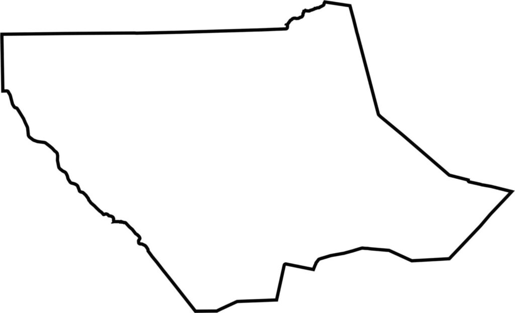
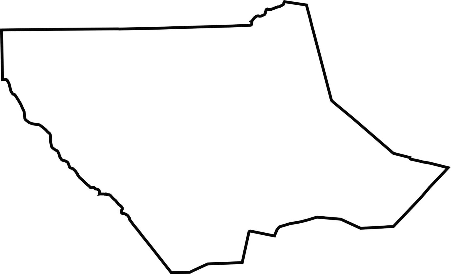
Lycoming County is one of the largest counties in the state and has a blocky, quadrilateral-like shape. It doesn't border another state. Most borders follow ridgelines, roads, and natural terrain.







Pennsylvania's 67 counties take in the glow of the Steel City, quiet Amish country backroads, and escapes in the Pocono Mountains. Distances may differ from place to place, but the stories stay just as rich.