
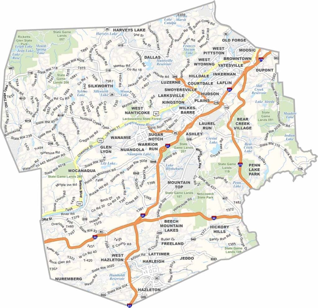
Luzerne County is in northeastern Pennsylvania, part of the Wyoming Valley. Wilkes-Barre, the county seat, is an old coal town that has seen better days but keeps on ticking.
The area has a tough history. Remember the Knox Mine Disaster? That happened here. But folks are always looking for ways to move forward.
The Pocono Mountains are right next door, bringing in the tourists. Ricketts Glen State Park is a real stunner, with waterfalls galore. Mohegan Sun Pocono is a big draw for gamblers. And hey, the birthplace of the first Planters Peanuts store? That's right here in Wilkes-Barre.
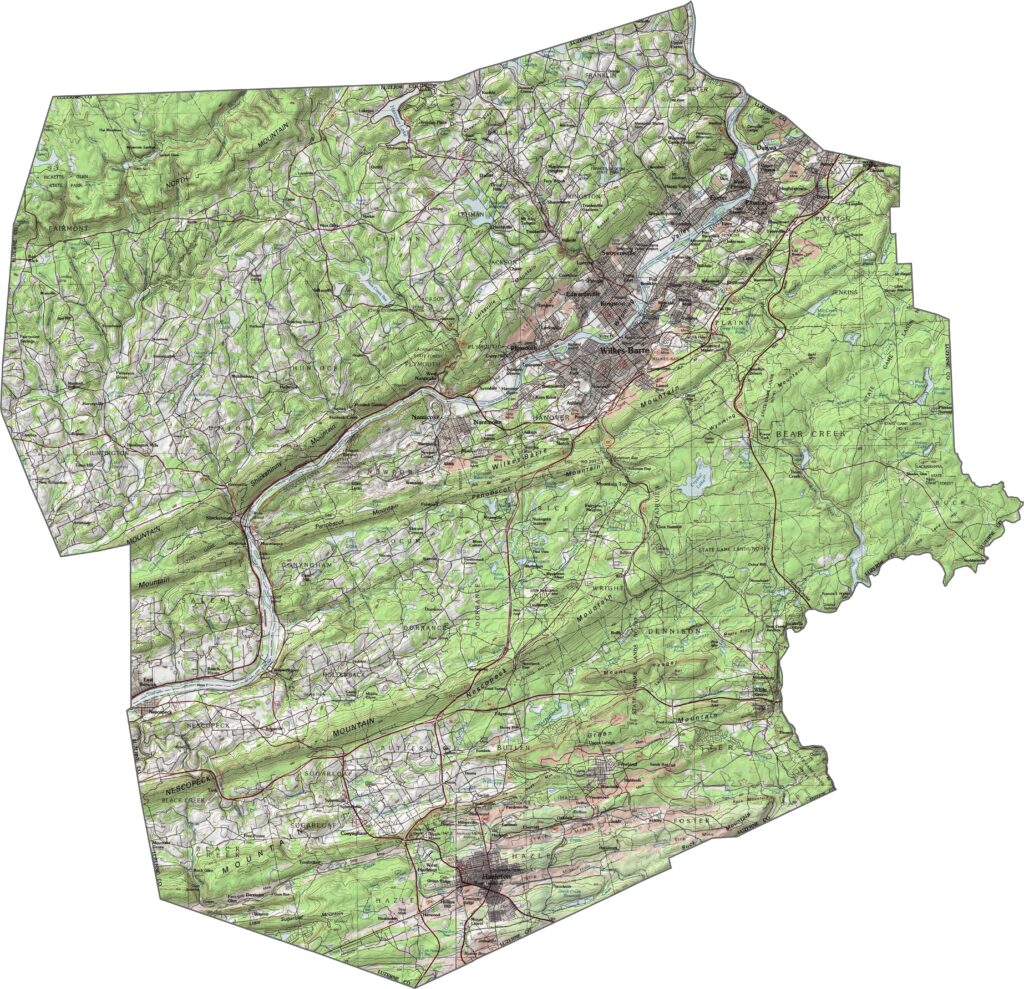
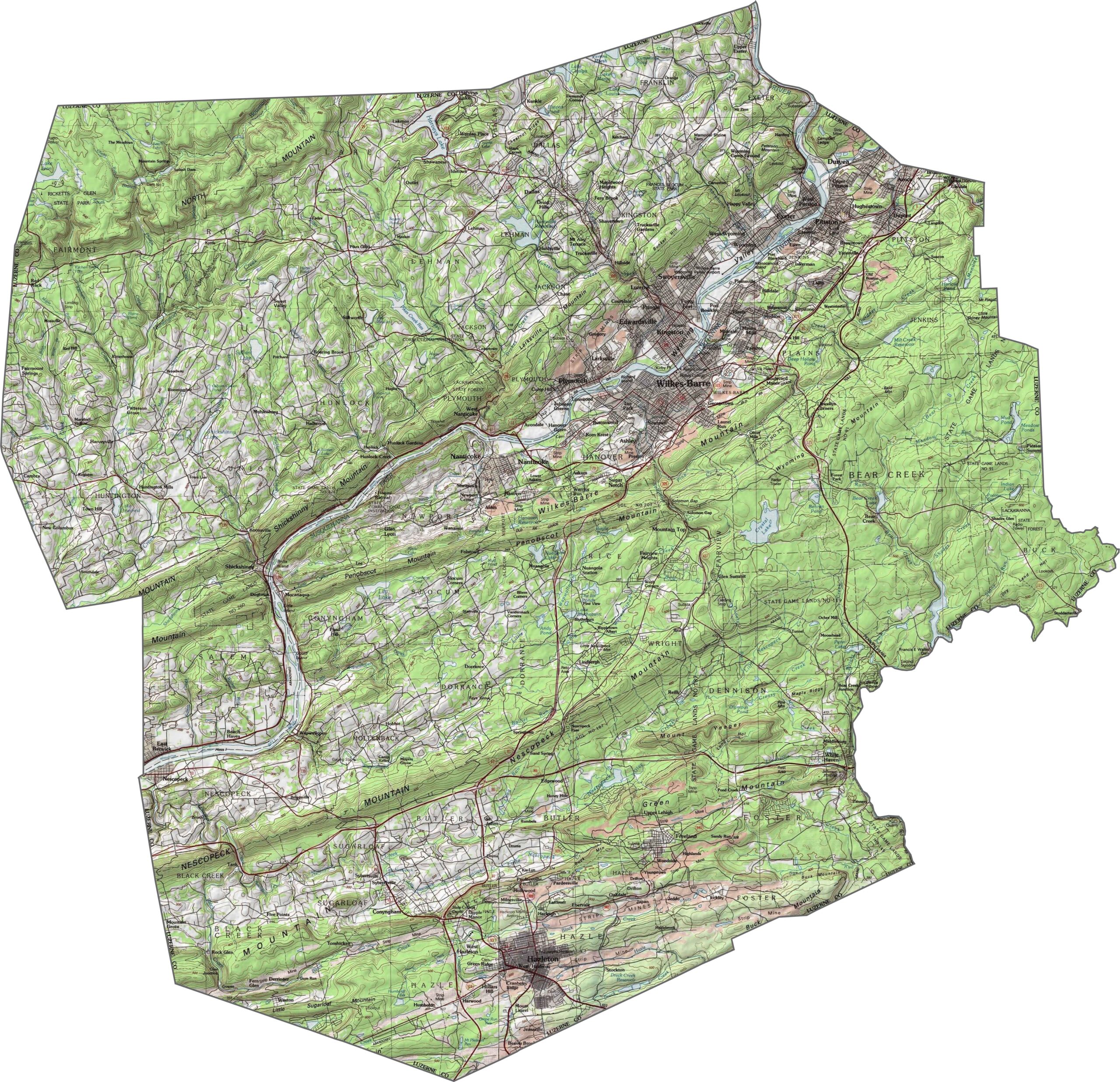
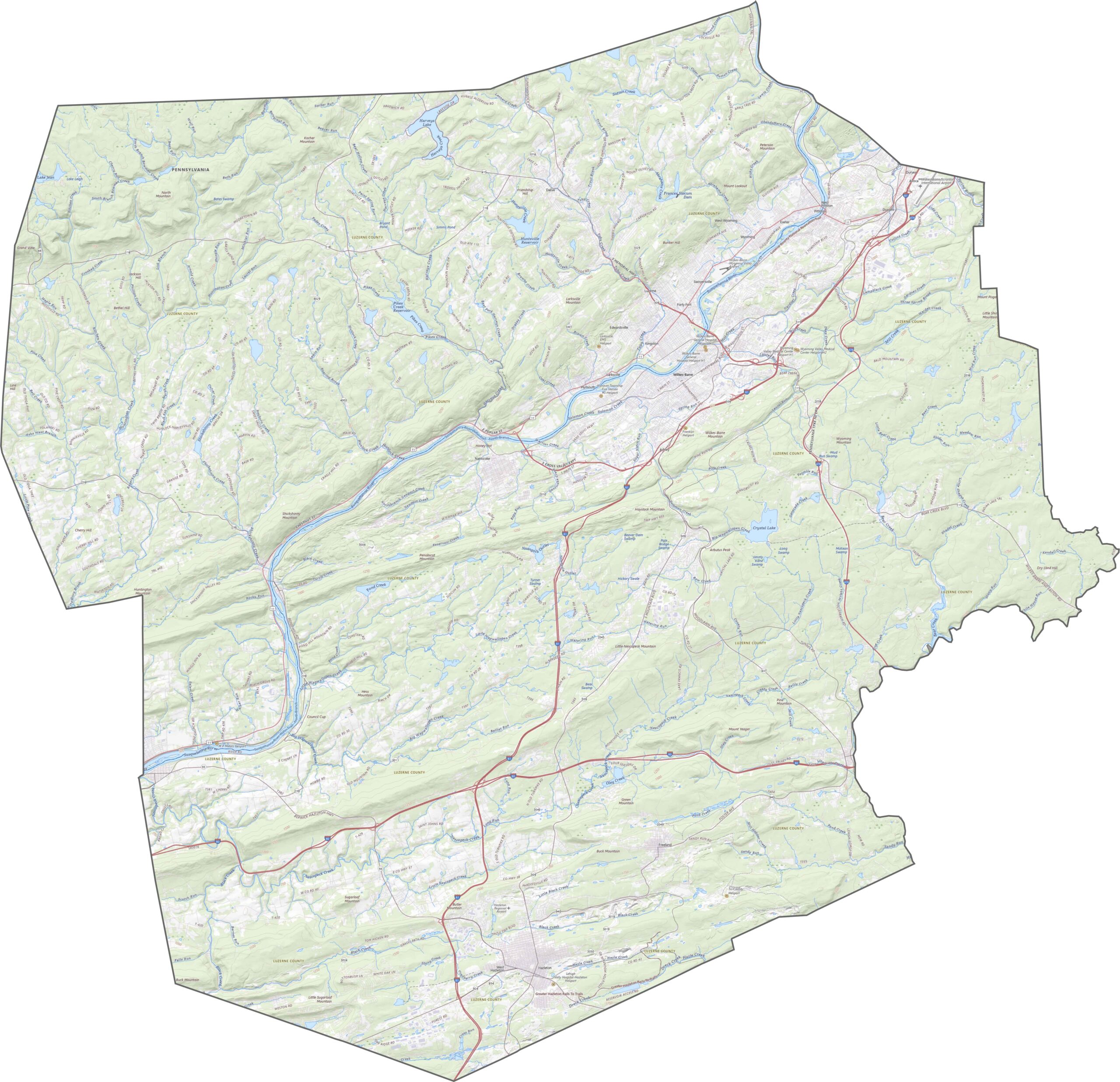
This is a county of high ridges and deep valleys. The Susquehanna River cuts right through the middle, surrounded by lowlands. Beyond that, the land rises quickly. In the north and south, ridgelines form long, forested walls.
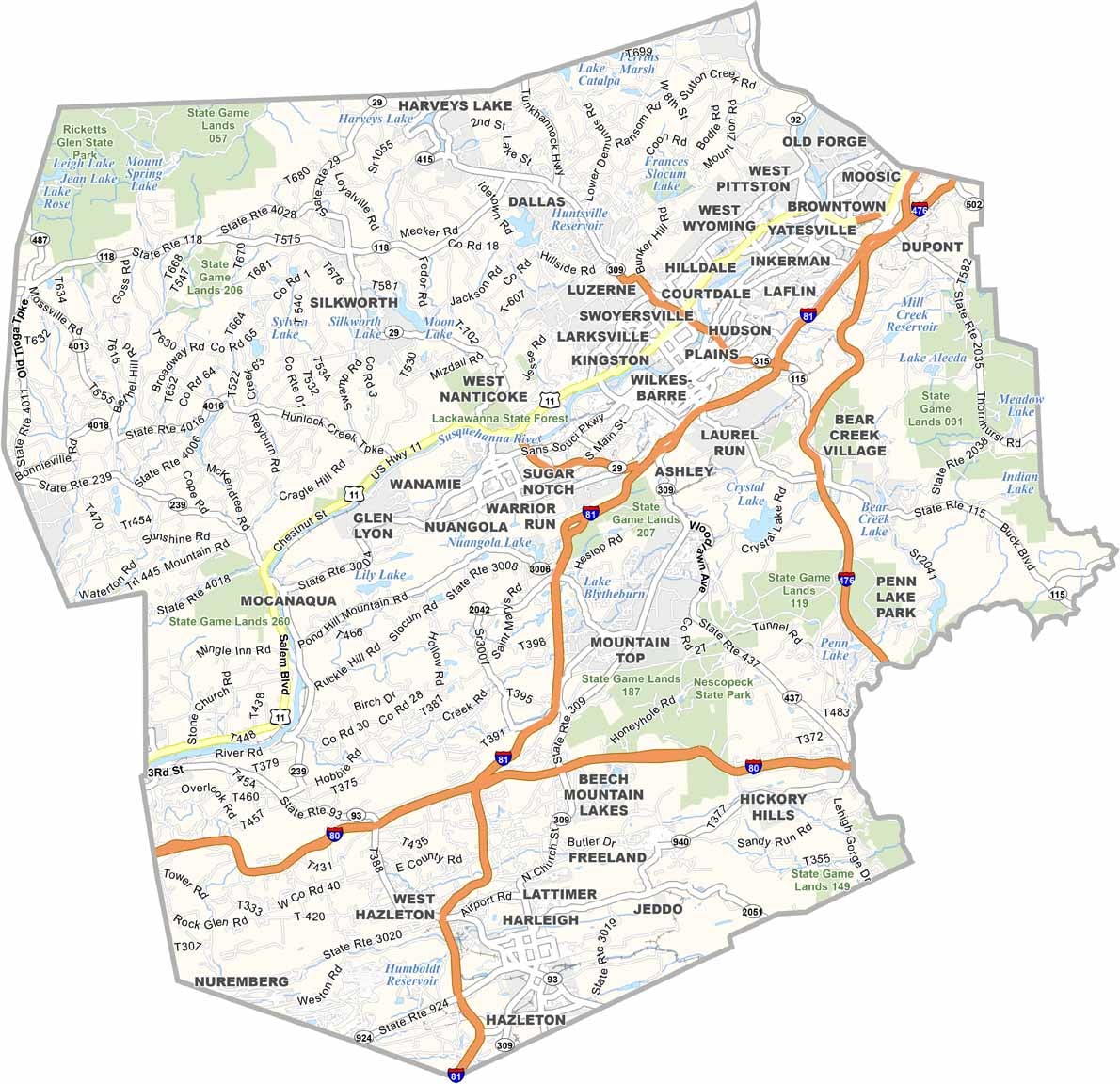
Luzerne County's highways follow the terrain, not the compass. Roads twist around mountains and run along the Susquehanna River. With our zoom tool, you can track every bend, bypass, and interstate highway.
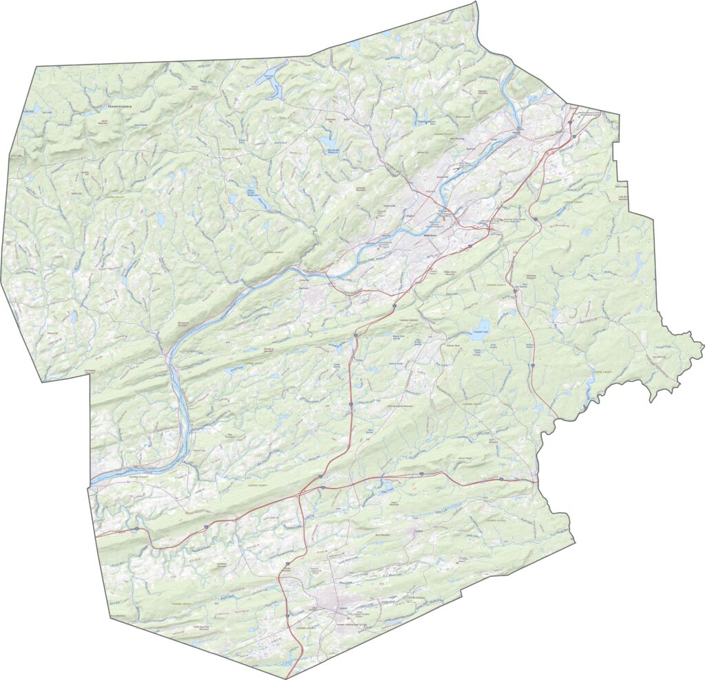
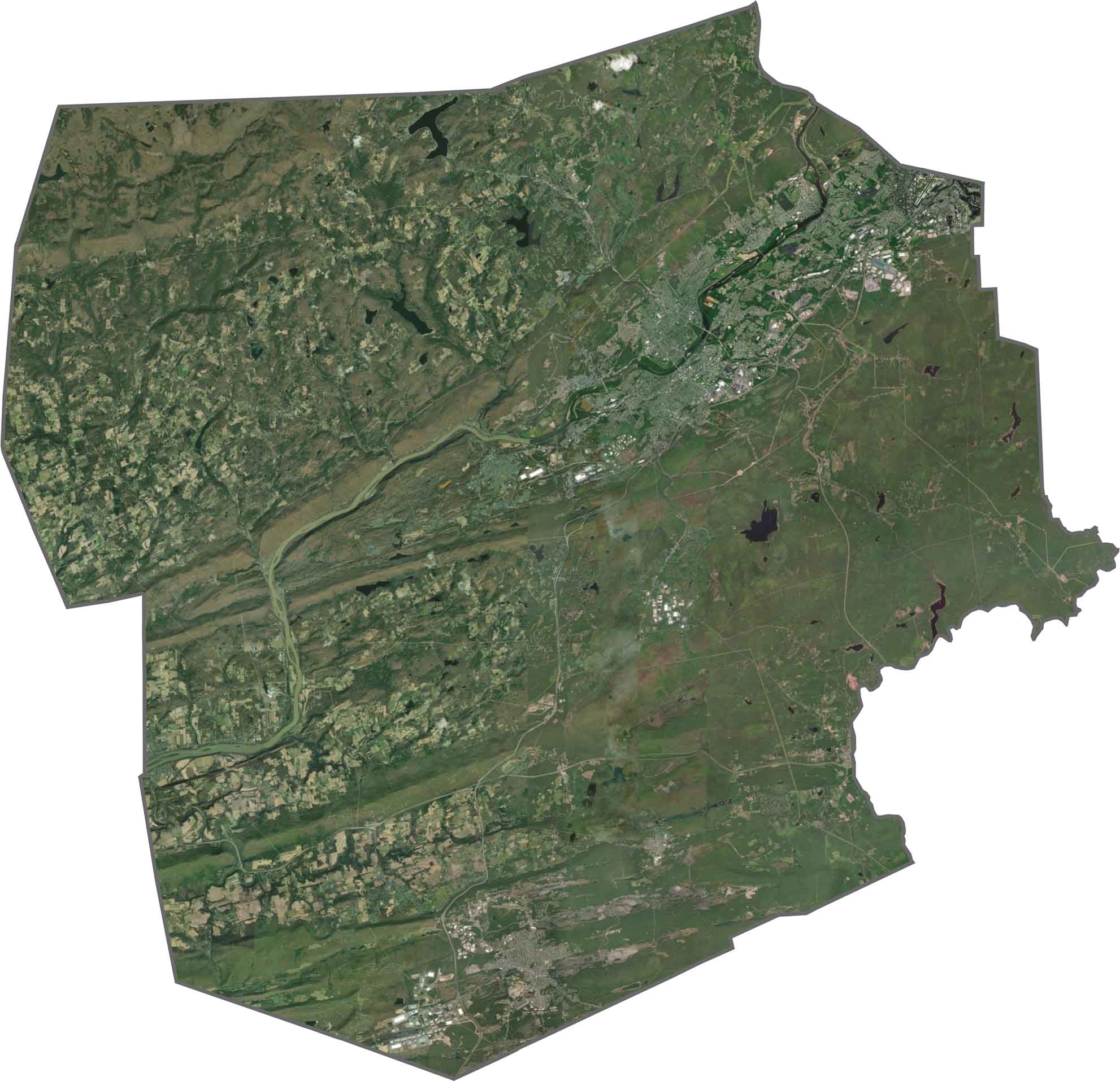
Wilkes-Barre and surrounding towns light up the center in gray and white. The river curves sharply through it, dividing the map into two sections. Dense forests fill in the rest, especially along the mountains, while farms and scattered homes show up in the valleys.
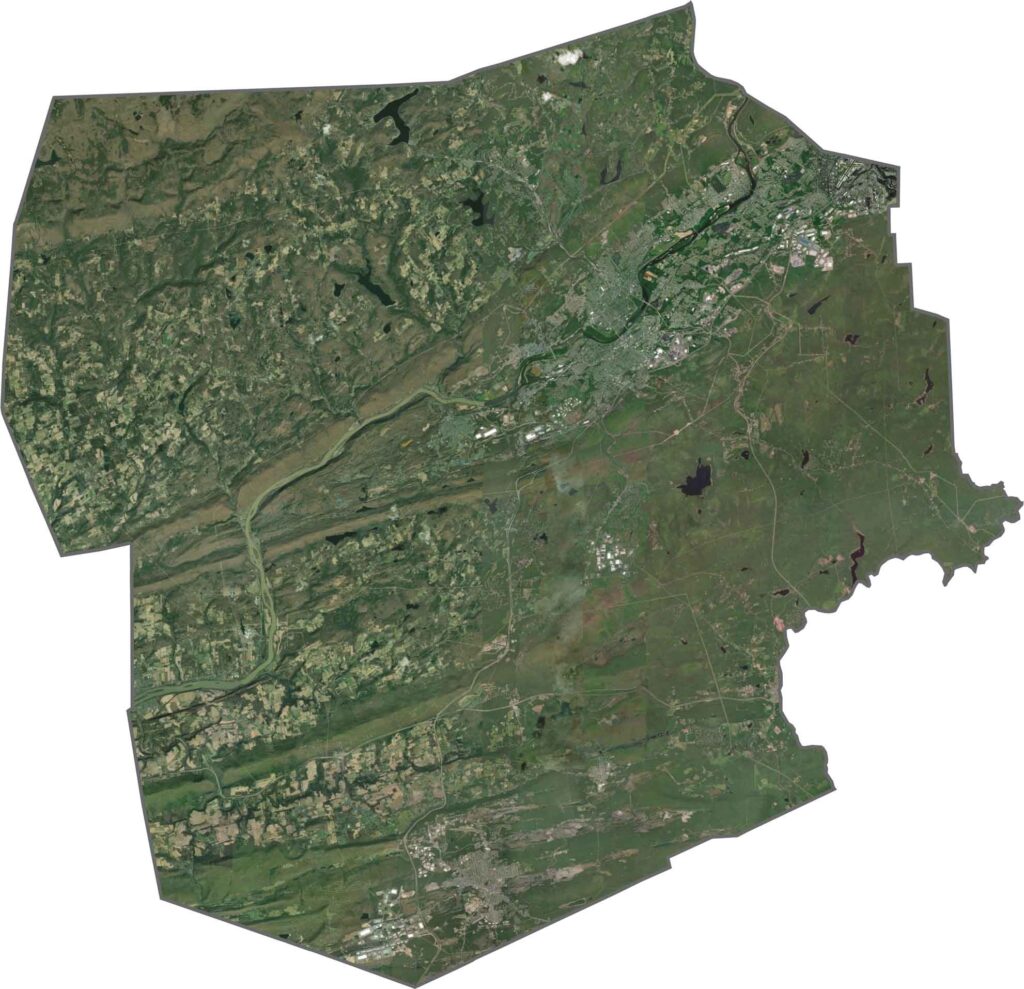
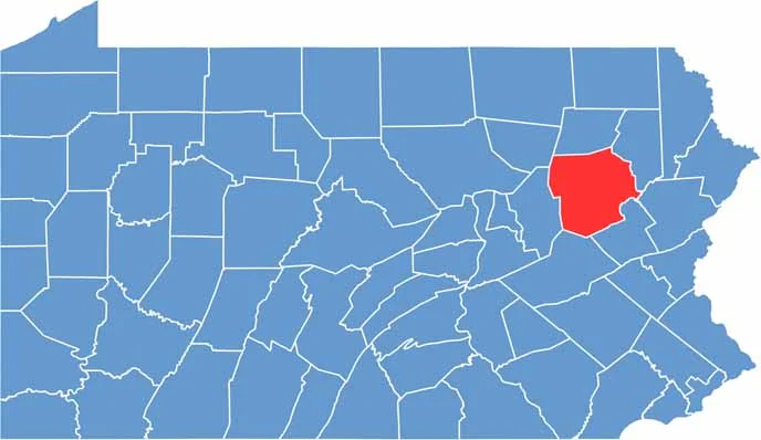
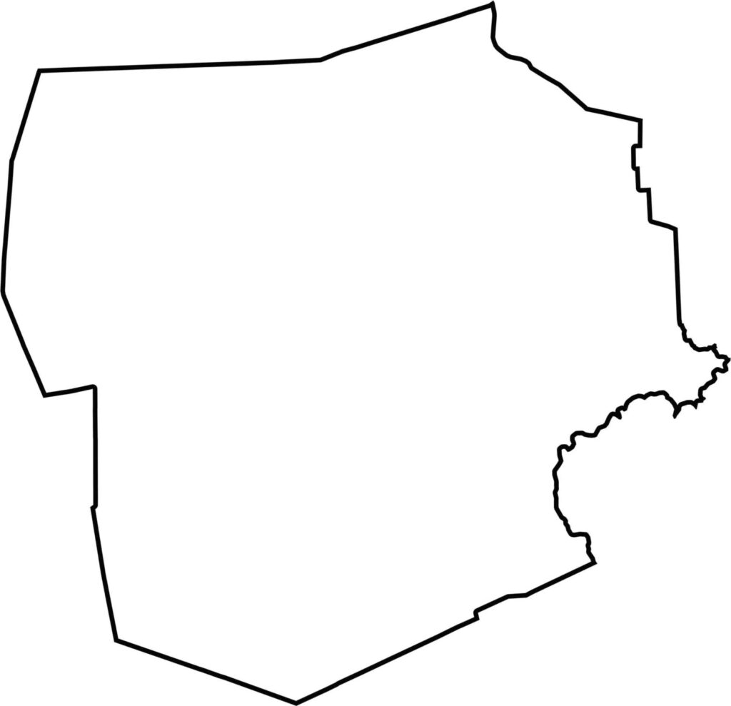
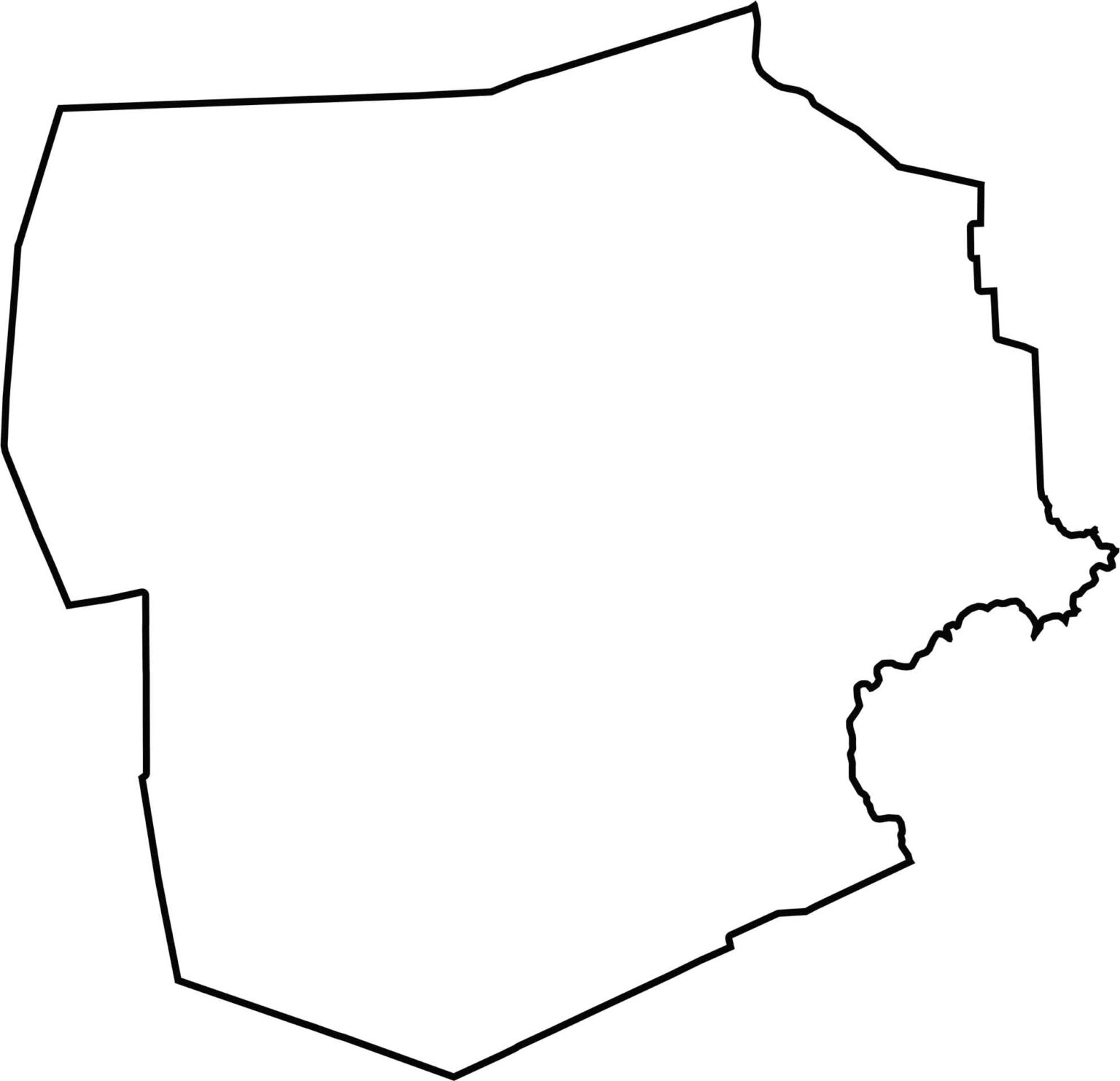
Luzerne County has an uneven, sprawling shape with lots of angles. The western and northern borders are jagged and irregular. It doesn't touch another state and is completely within Pennsylvania.







Pennsylvania's 67 counties take in the glow of the Steel City, quiet Amish country backroads, and escapes in the Pocono Mountains. Distances may differ from place to place, but the stories stay just as rich.