
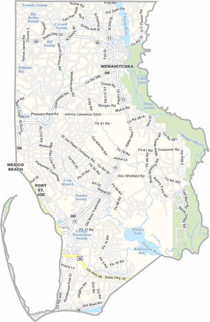
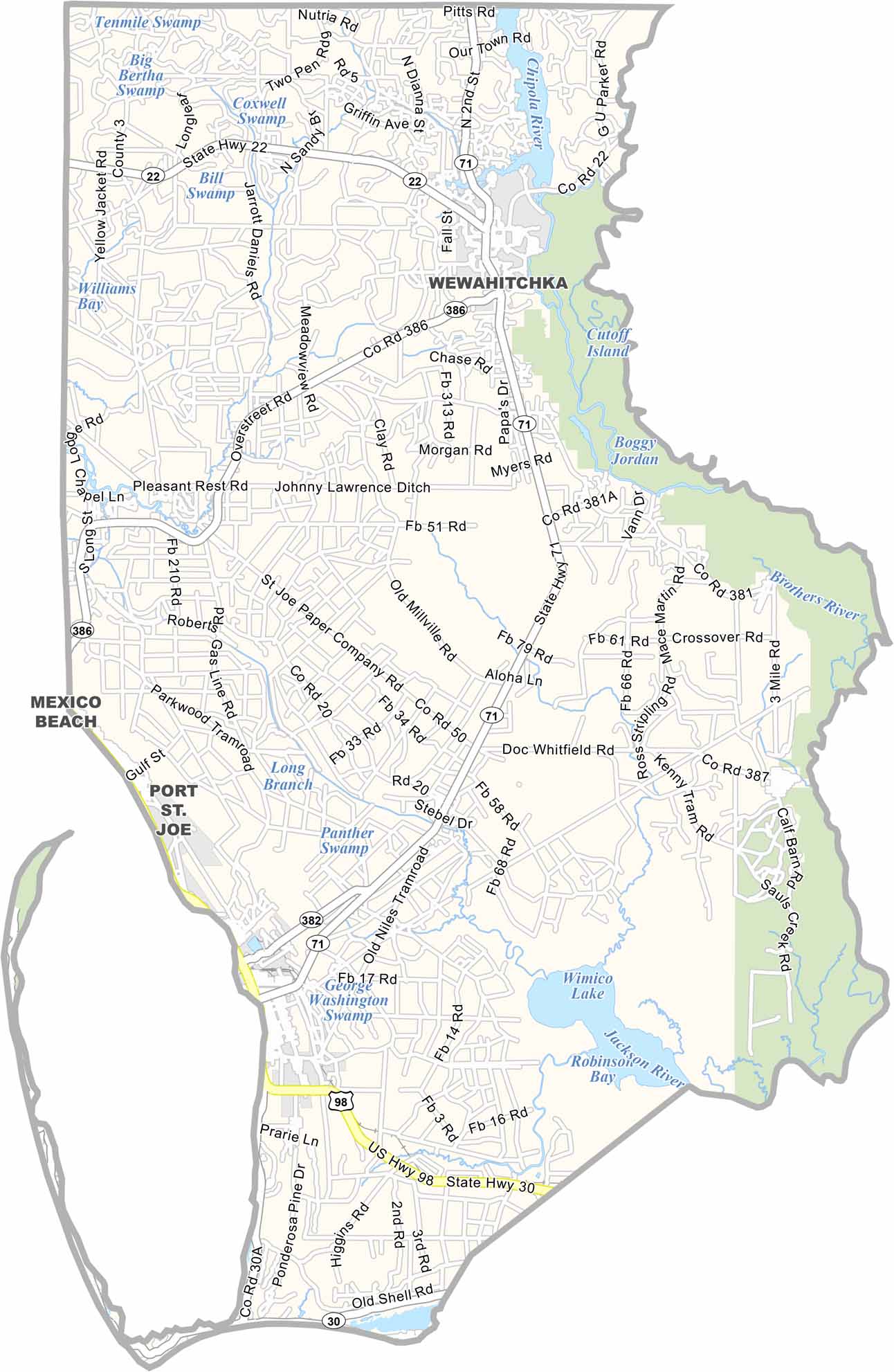
Gulf County is part of Florida’s “Forgotten Coast,” offering a peaceful escape from the state’s busy tourist destinations. Located in the Florida Panhandle, the county is known for its quiet coastal communities, natural landscapes, and lack of large tourist crowds.
Port St. Joe serves as the county seat, offering a welcoming small-town atmosphere. Cape San Blas extends into the Gulf of Mexico, featuring pristine beaches and a historic lighthouse. The county’s landscape is also shaped by the Apalachicola River and Jackson River, which contribute to its diverse waterways.
Fishing remains an important part of life in Gulf County, from charter fishing and boating to commercial oyster harvesting. Instead of high-rise buildings and chain restaurants, the coastline features natural beauty and abundant wildlife. St. Joseph Peninsula State Park is a standout destination for exploring the area’s beaches, dunes, and coastal environment.
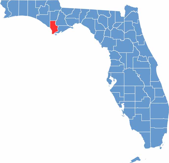
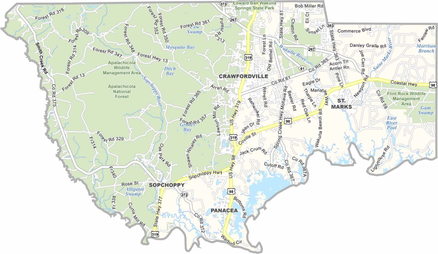
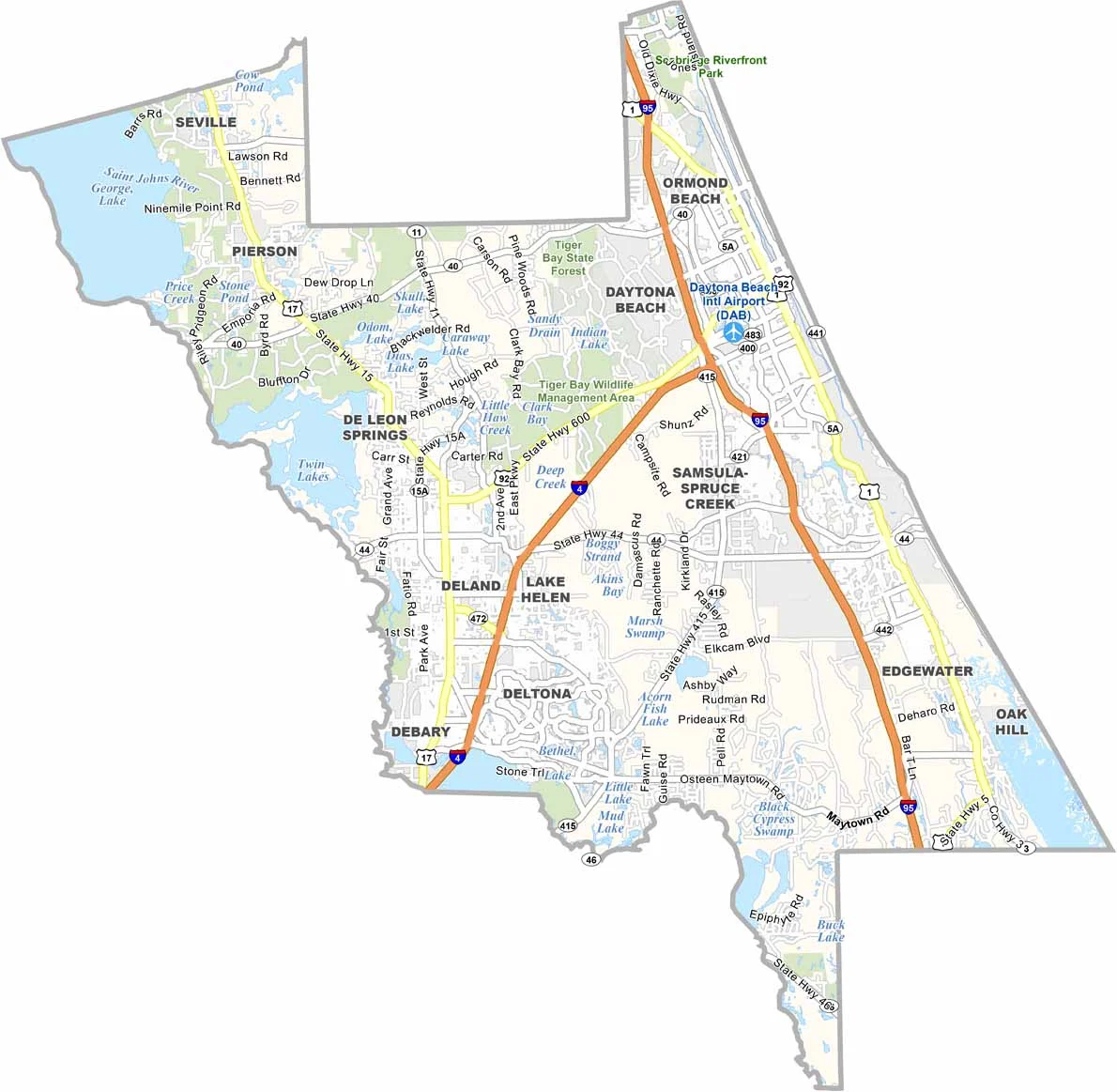
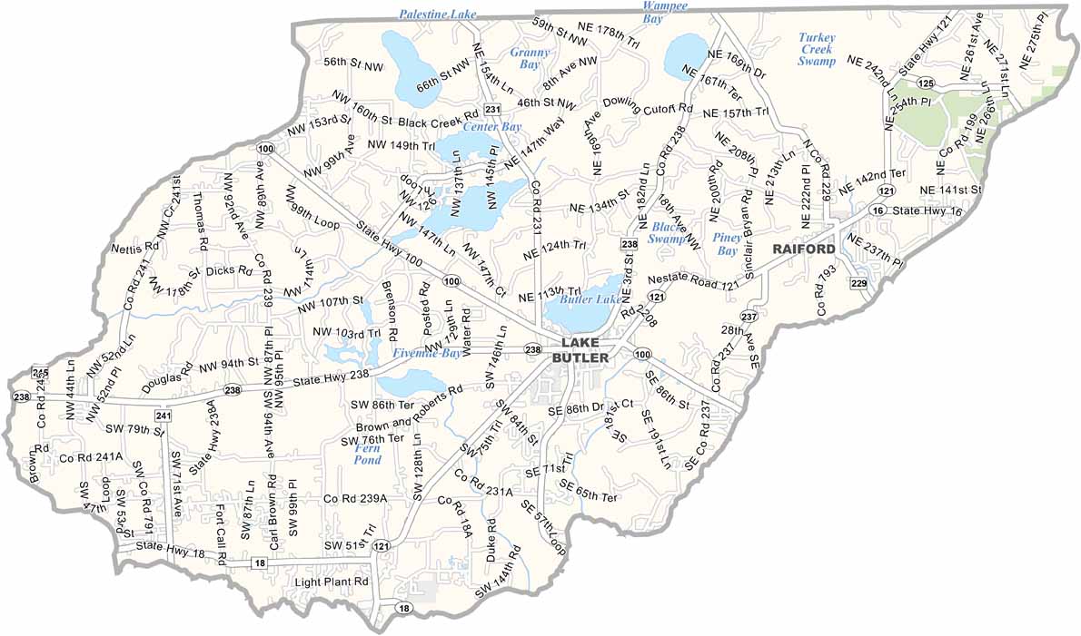
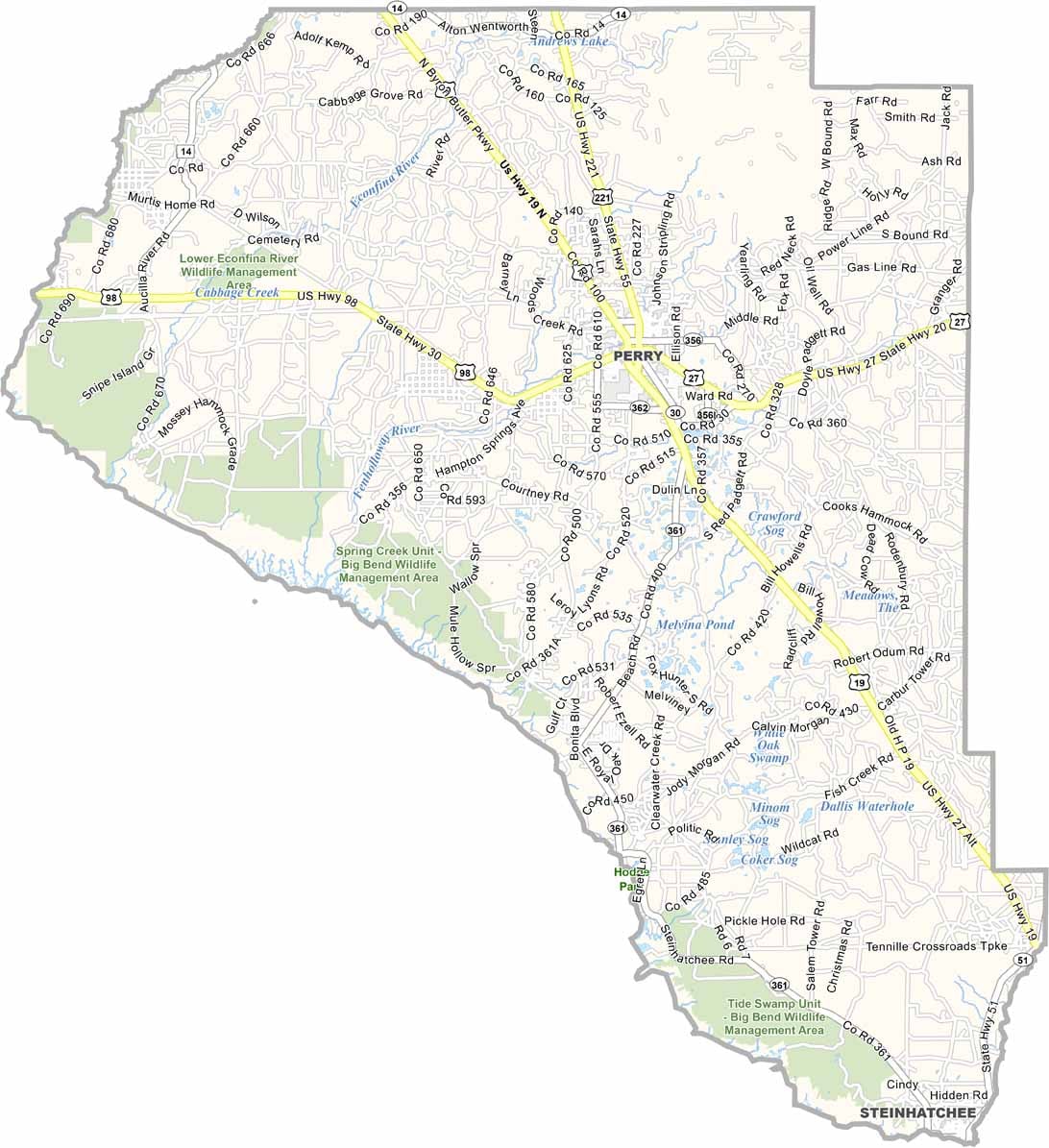
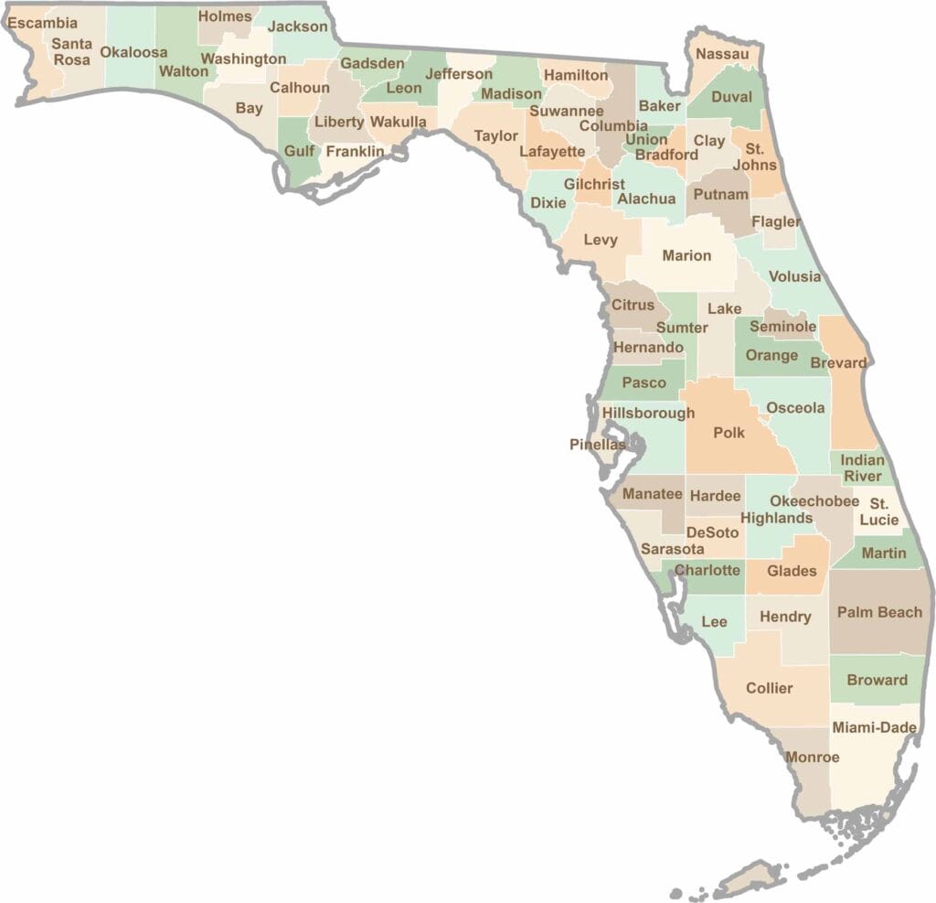
Looking to find a county map of Florida? Our Florida county map breaks down all 67 counties. Explore the Sunshine State with detailed topographic, satellite, and outline maps.