
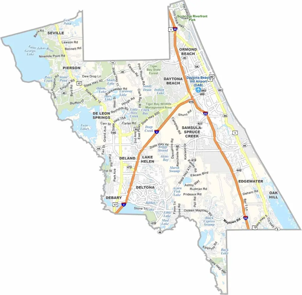
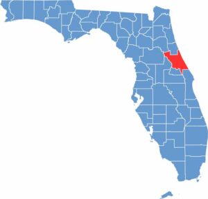
Volusia County is located along Florida’s east coast, stretching from the Atlantic Ocean to the St. Johns River. Daytona Beach is the county’s biggest attraction, known for NASCAR, spring break, and its famous beach. Smaller coastal communities such as Ponce Inlet offer a quieter atmosphere.
Inland, DeLand is known for its historic downtown and Stetson University. The county offers a diverse mix of beaches, freshwater springs, forests, and wetlands. Blue Spring State Park is especially popular in winter, when visitors can often see large numbers of manatees.
Fishing is popular in both the Atlantic Ocean and the county’s freshwater waterways. The mild, year-round climate attracts many seasonal residents and visitors, although traffic can become heavy during major events. With its mix of beaches, natural areas, and lively communities, Volusia County offers something for a wide range of visitors.
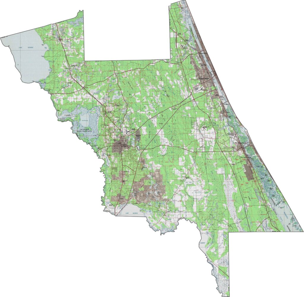
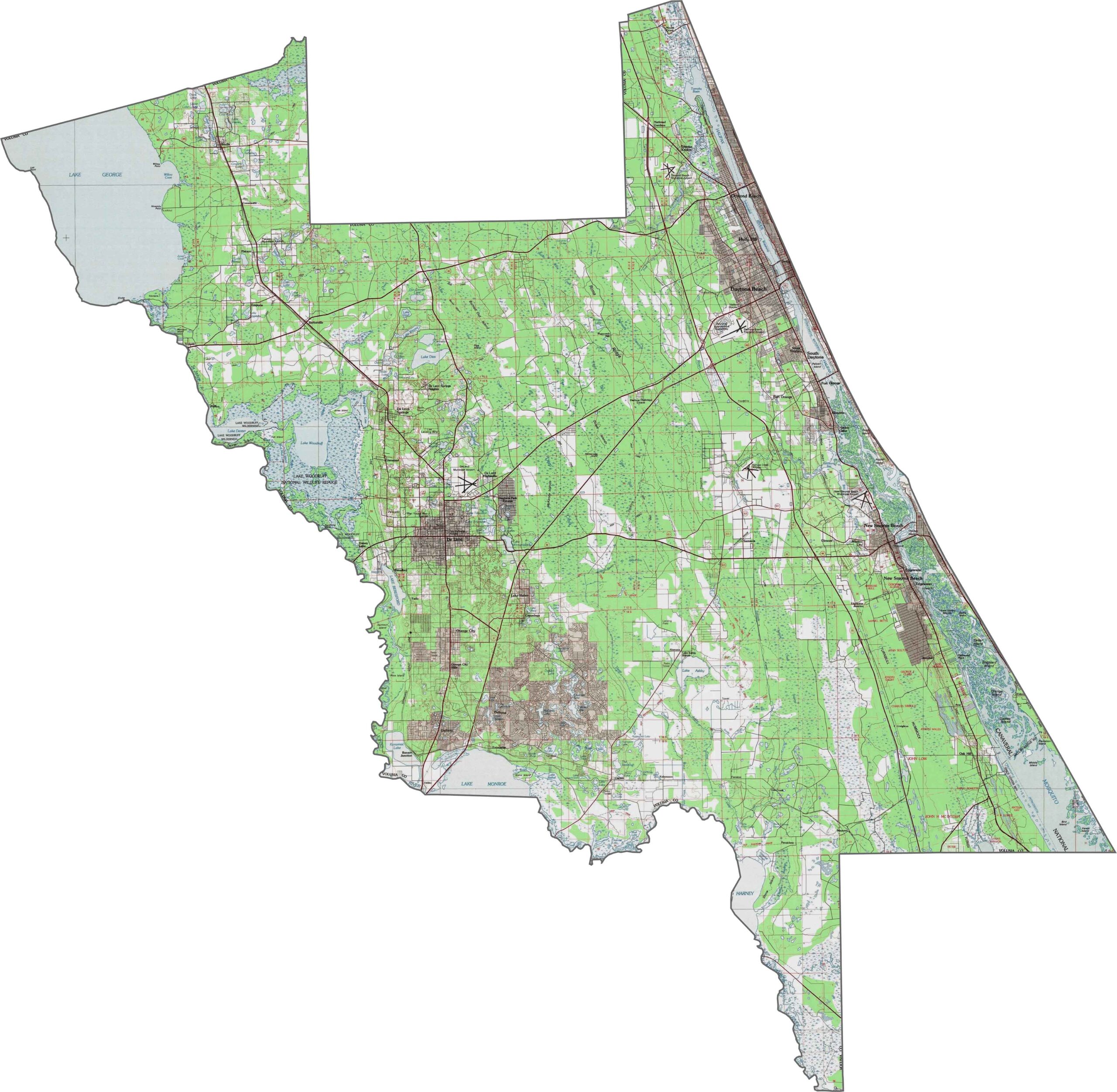
This Volusia County topographic map highlights the coastal barriers along the Atlantic Ocean, transitioning into pine flatwoods across the central regions. The DeLand Ridge adds elevation to the landscape, while the western areas slope gently toward the St. Johns River valley, forming a natural basin. Use our zoom tool to explore these features in greater detail.
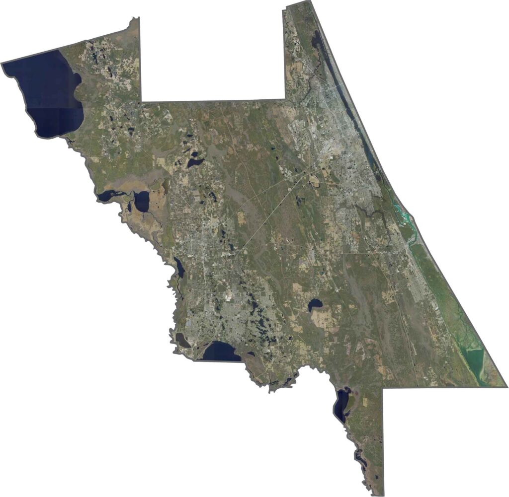
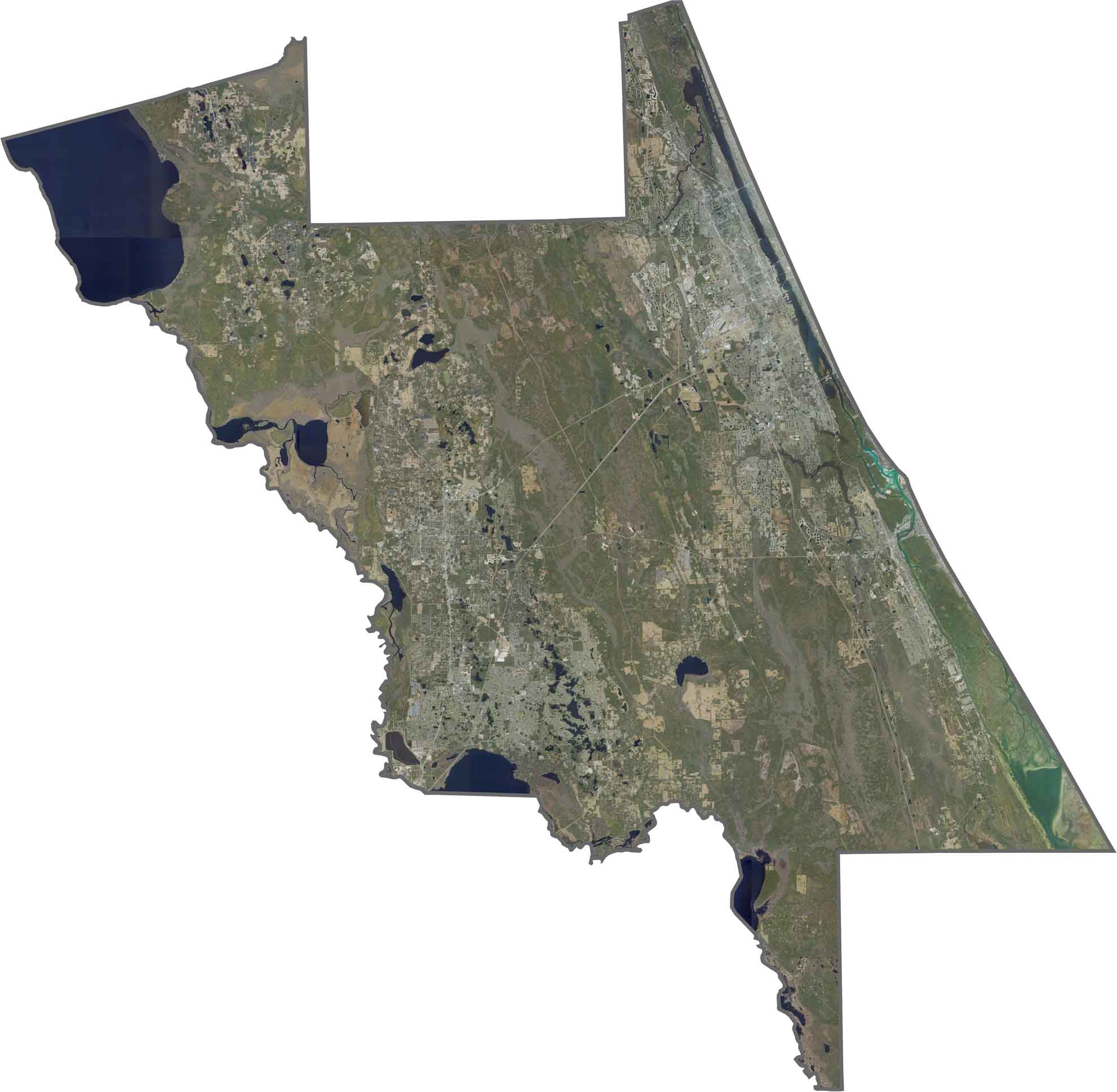
This satellite map shows Volusia County’s diverse transition from coast to inland areas. Daytona Beach and other communities line the Atlantic coast, while the western half features forests, rivers, and lakes. The St. Johns River forms a natural boundary, surrounded by wetlands, preserves, and developed areas. Zoom in to explore the changing landscape from beaches to backcountry.
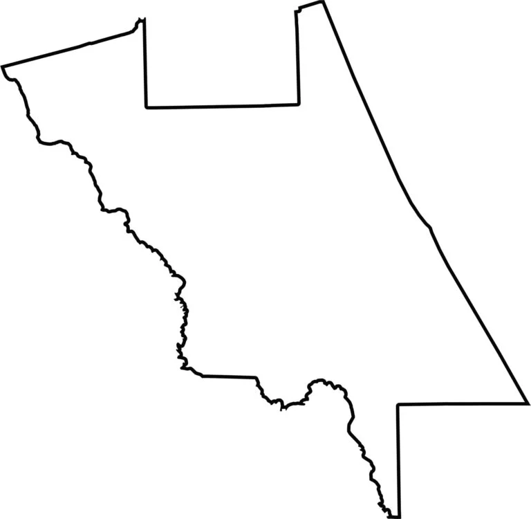
This blank map shows Volusia County’s irregular triangular shape, extending from the Atlantic Ocean to the St. Johns River. The coastline forms a smooth eastern edge, while the western boundary follows natural waterways and wetlands. The outline clearly highlights the county’s transition from coastal communities to inland landscapes.









Looking to find a county map of Florida? Our Florida county map breaks down all 67 counties. Explore the Sunshine State with detailed topographic, satellite, and outline maps.