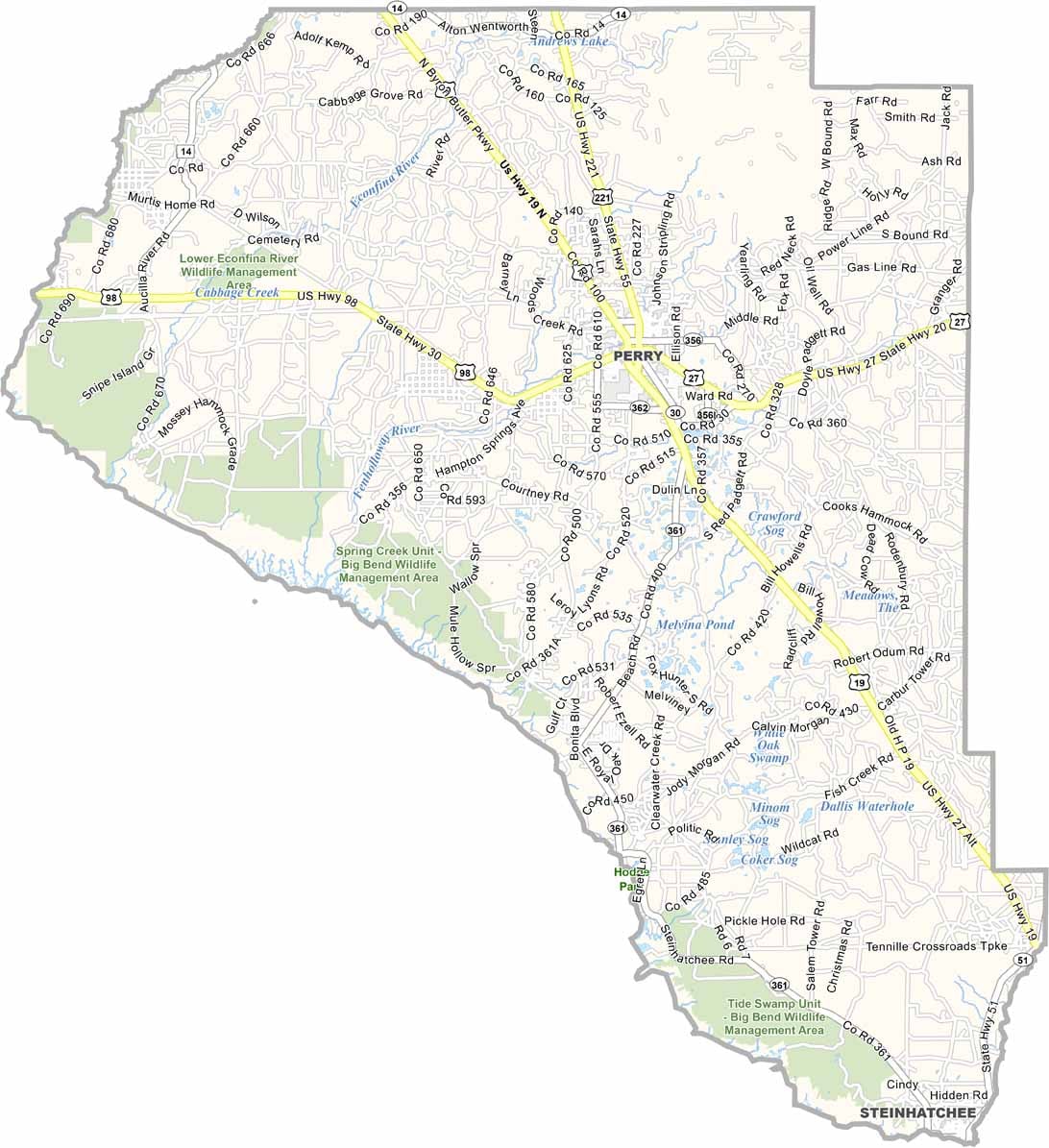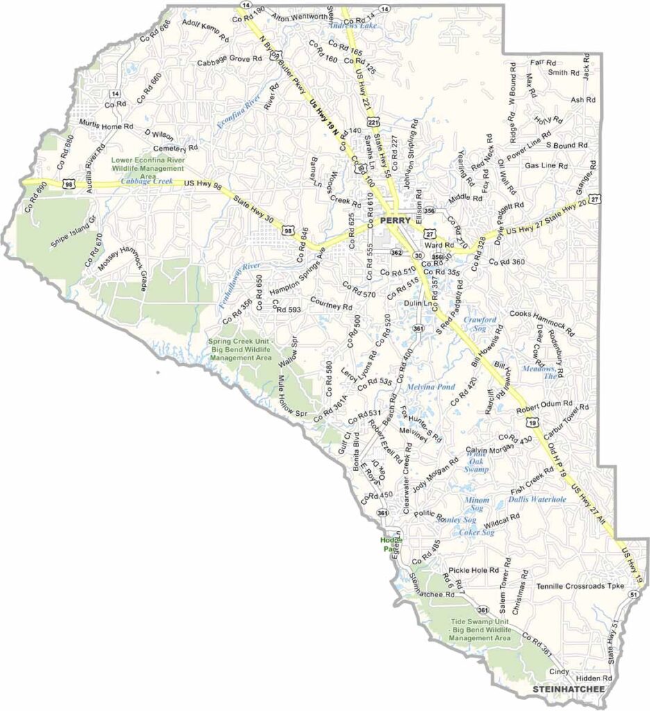
Taylor County Map, Florida

Taylor County Map, Florida

Taylor County sits in Florida’s Big Bend region along the Gulf Coast, where forests meet the sea. Perry serves as the county seat and largest community, offering a small-town atmosphere with plenty of local character.

The area has a long history, with Native American settlements and Spanish explorers leaving their mark on the region. Today, residents enjoy the slower pace of life and the county’s quiet coastal setting.

Taylor County is known for its natural beauty and abundant wildlife, with opportunities to spot deer, wild turkeys, and even black bears. Outdoor activities are popular, while timber, tourism, and the local paper mill remain important parts of the economy.
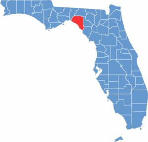
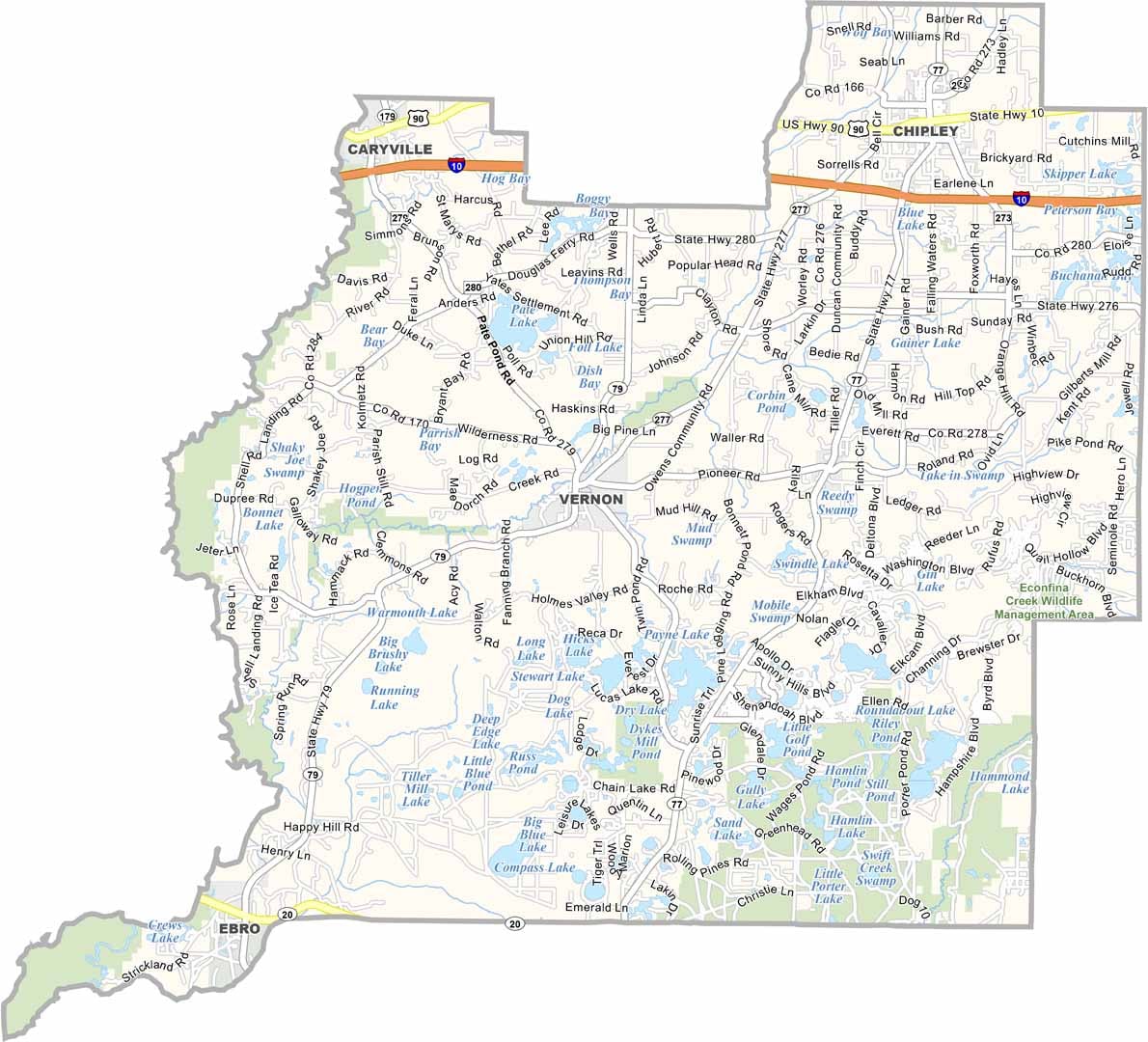
Location map of Taylor County, Florida
CategoryDetails
County NameTaylor County
County SeatPerry
PopulationApproximately 22,000
Cities, Towns, and CommunitiesPerry, Steinhatchee, Shady Grove, Salem
Interstates and HighwaysUS 19, US 98, SR 51
FIPS Code12-123
Total Area (Land and Water)1,232 square miles (land: 1,202 sq mi, water: 30 sq mi)
Adjacent Counties (and Direction)Jefferson County (Northwest), Madison County (North), Lafayette County (East), Dixie County (Southeast)
Time ZoneEastern Time Zone (ET)
StateFlorida
Coordinates30.1267° N, 83.5807° W
EtymologyNamed after Zachary Taylor, 12th President of the United States
Major LandmarksTaylor County Historical Society Museum, Steinhatchee River, Perry Sea Turtle Conservation Center

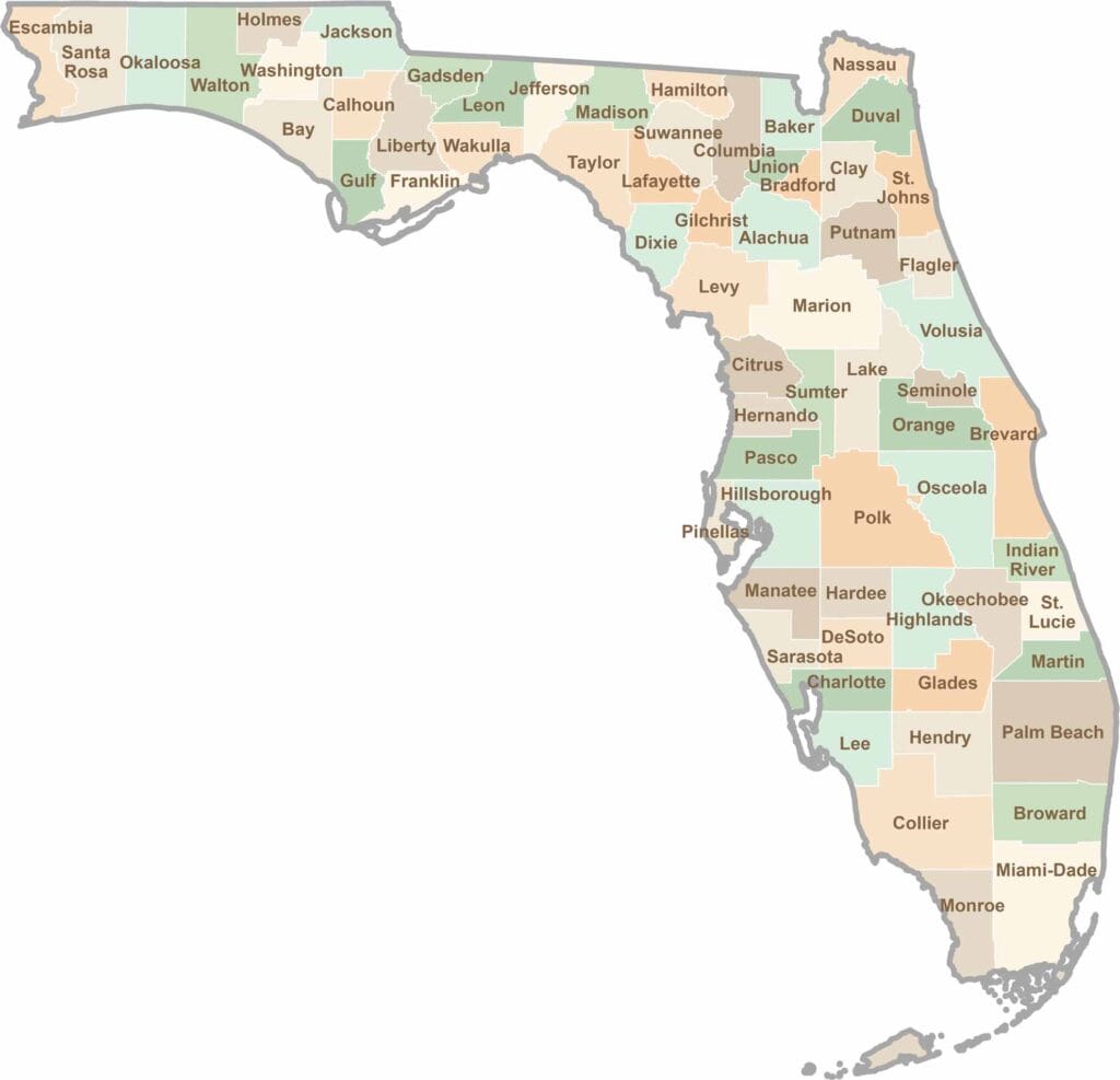
Florida County Map

Florida map showing boundaries and locations.

Looking to find a county map of Florida? Our Florida county map breaks down all 67 counties. Explore the Sunshine State with detailed topographic, satellite, and outline maps.

Scroll to Top