
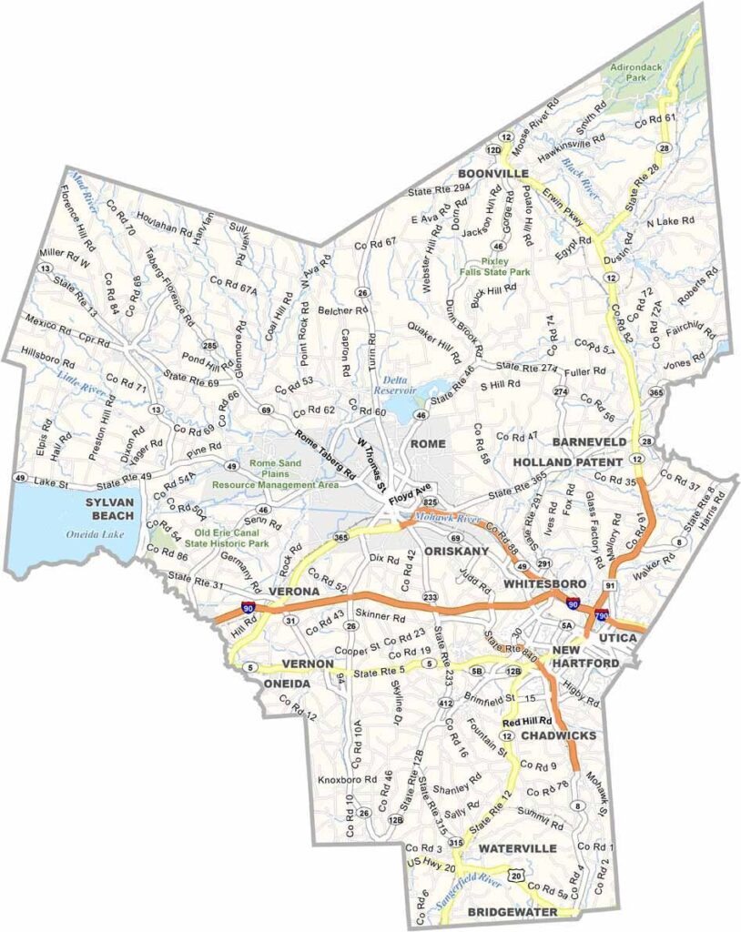
Oneida County lies in the heart of New York State, blending rich history with beautiful natural scenery. Cheese lovers, take note—this central New York county is a real paradise. It’s home to America’s first cheese factory, established in 1851.
The Mohawk River runs through the southern part of the county. Utica, the county seat, was once a major industrial center and is now reinventing itself. The landscape combines urban and rural areas, with rolling hills and farmland stretching for miles.
The Adirondacks rise to the northeast, adding to the county’s scenic character. Oneida County has experienced its share of ups and downs, but its people remain proud of their roots. Fort Stanwix National Monument, built in the 1750s, once guarded an important trading route.
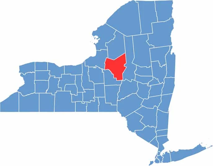
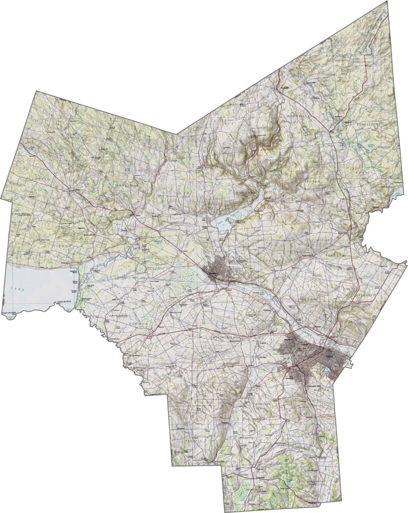
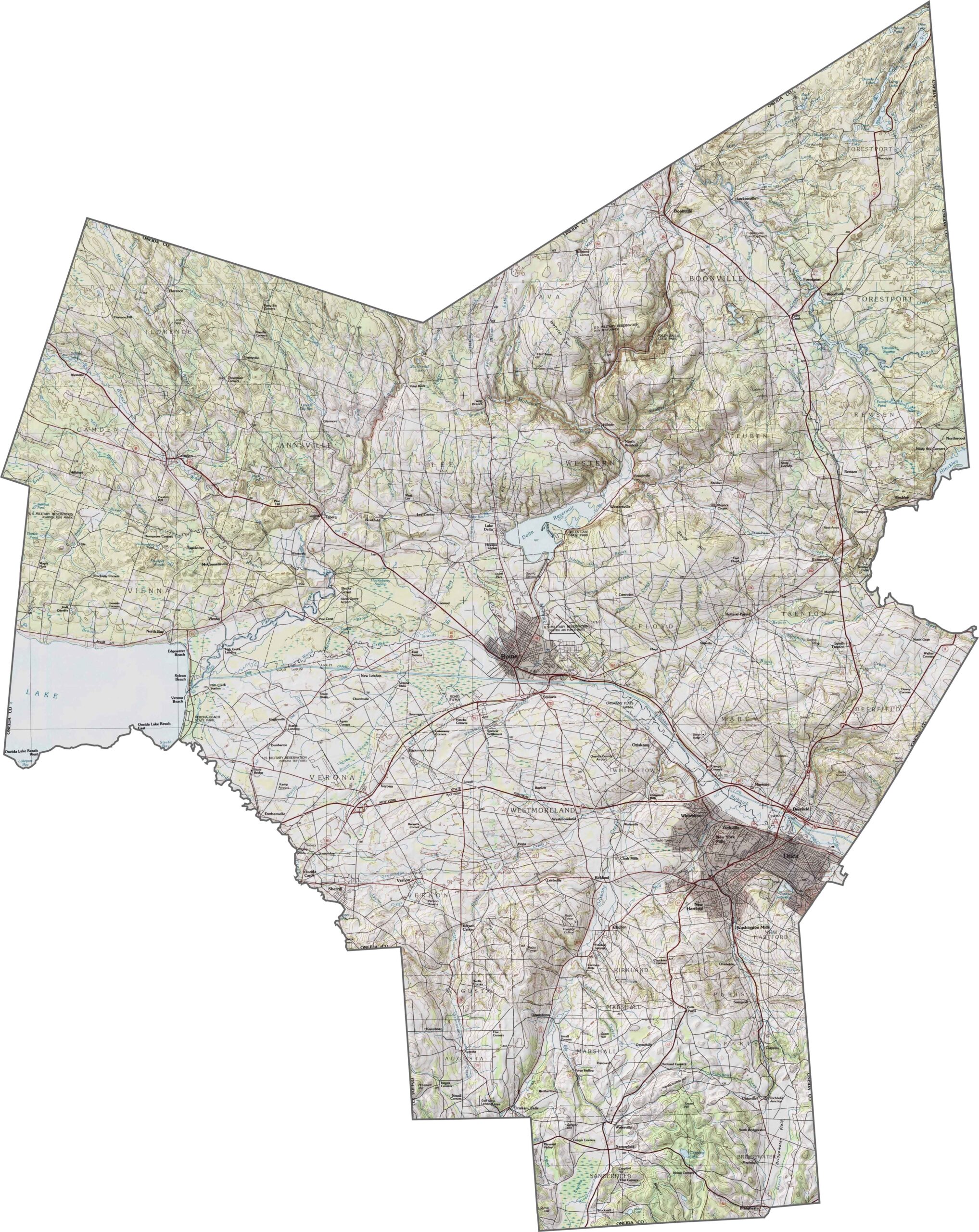
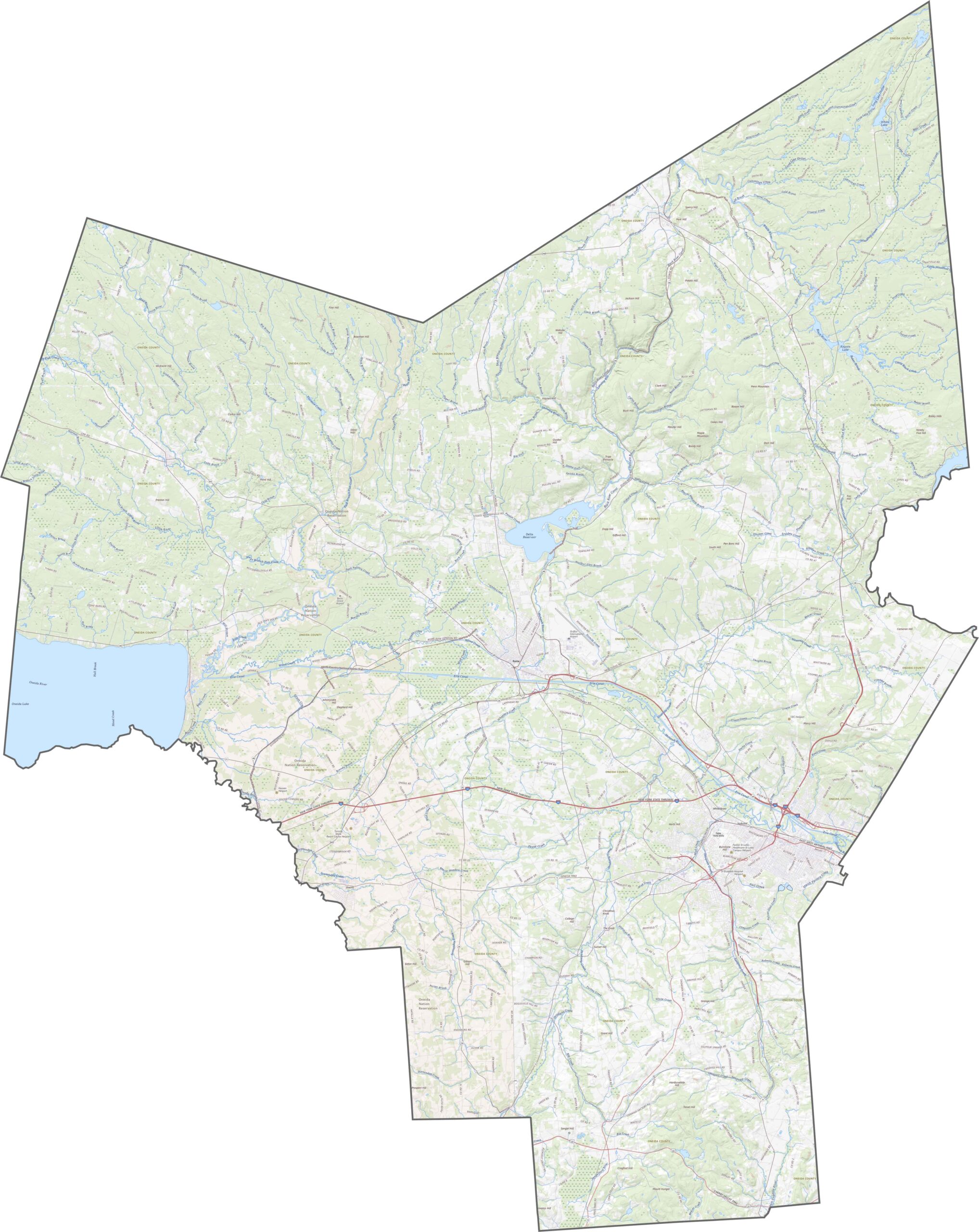
Oneida County’s topography is full of contrast. The southern part is hilly and rugged, while the Mohawk Valley cuts across the center with flatter ground and riverbanks. In the north, the terrain rises again as it transitions toward forested highlands. Elevation changes are noticeable throughout the county.
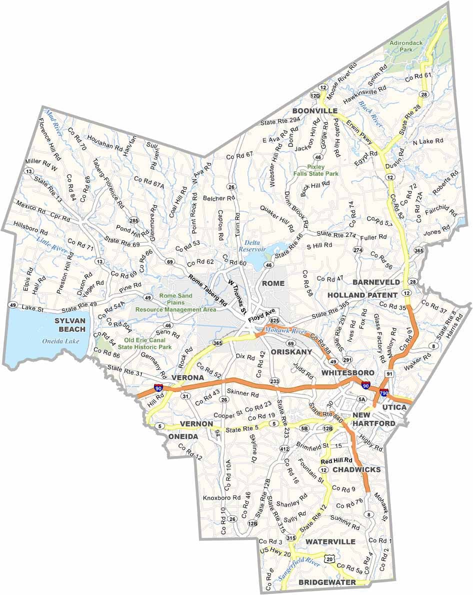
Oneida County is a busy transportation hub in central New York. I-90 crosses the southern part as the New York State Thruway, while I-790 and NY-49 loop through Utica and Rome. Some roads stretch across open farmland, while others wind toward the Adirondack foothills. Use our zoom tool below to follow the highways and roads in greater detail.
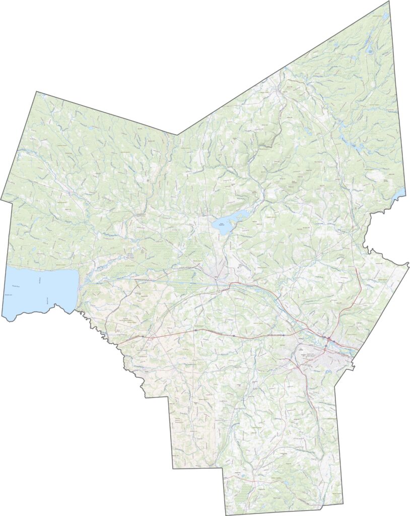
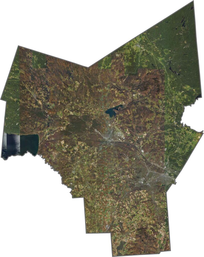
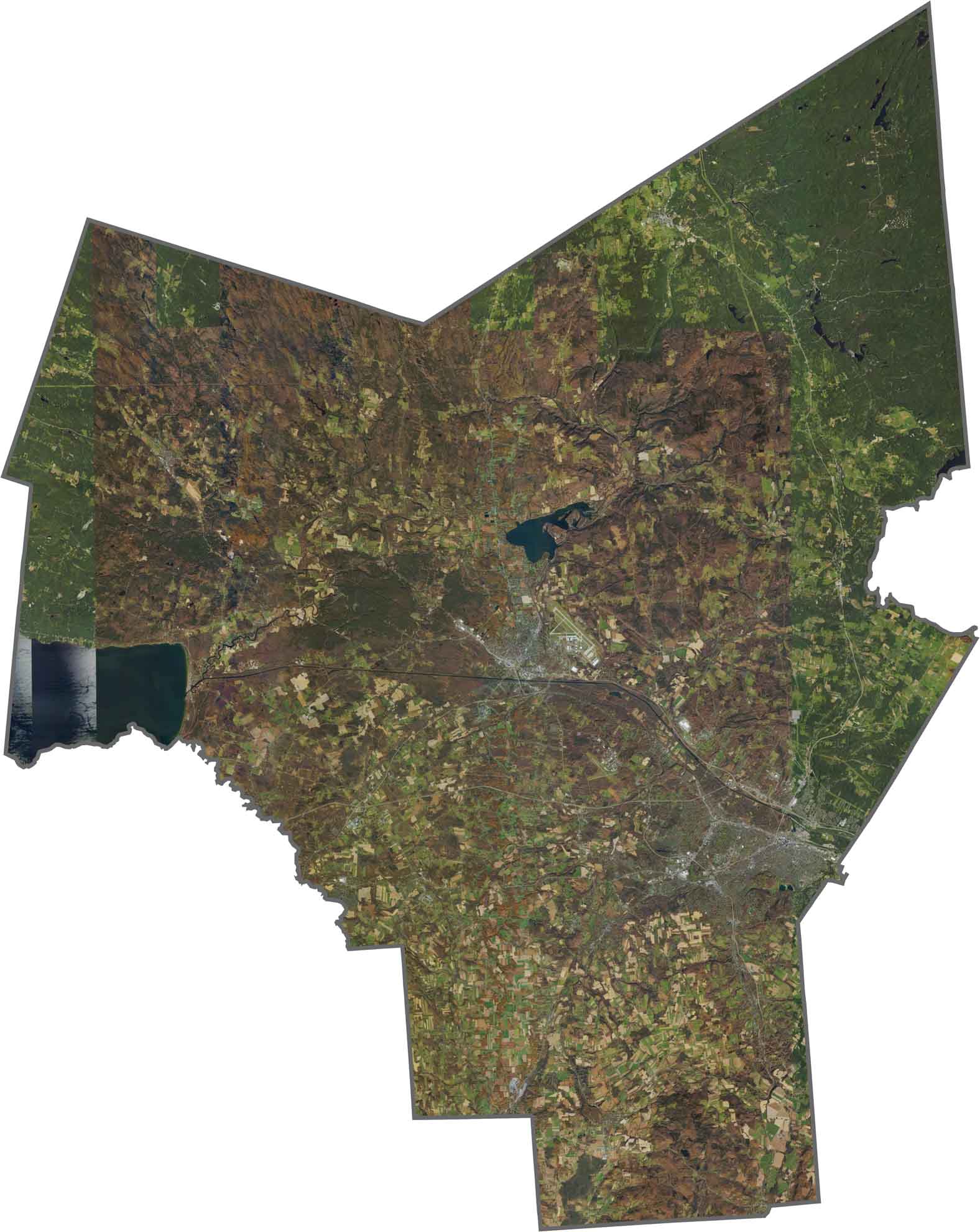
Rome and Utica appear as gray clusters along the Mohawk River. Between the two cities, the landscape is filled with farms and wooded areas. Farther north, forested hills become more dominant.
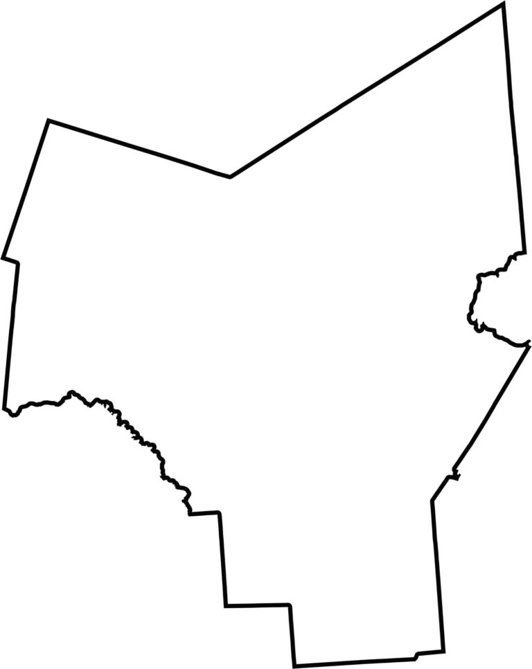
Oneida County has a blocky, almost rectangular shape, although its boundaries are mostly irregular. It borders several other counties but does not share a border with another state.








New York has 62 counties, and each one has its own personality. From the nonstop energy of Manhattan to the quiet wilderness of the Adirondacks, there’s plenty of variety to explore. And yes, we can’t forget those famous Buffalo wings. Explore our New York county maps.