
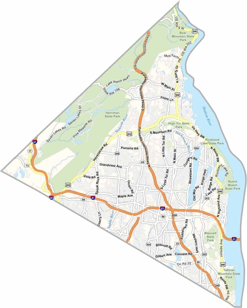
Rockland County sits just north of New York City, only a short trip up the Hudson from the Big Apple. The Hudson River runs along one side, while mountains rise on the other, creating a pretty sweet setup.
The county has plenty of Revolutionary War history. Outdoor enthusiasts enjoy hiking, biking, and other activities, while small towns and suburban communities spread across the area.
Rockland is also culturally diverse, with a large Hasidic community in New Square. Nyack is a funky little arts hub worth exploring. Overall, Rockland has a suburban feel with a dash of Hudson Valley cool.
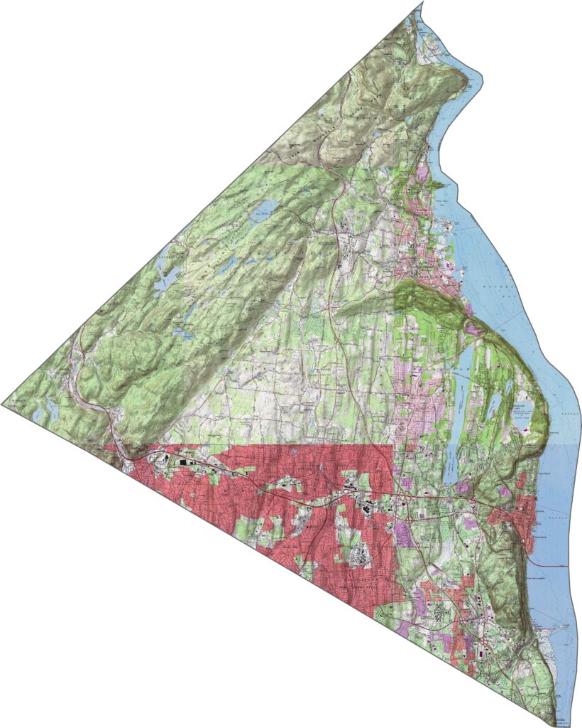
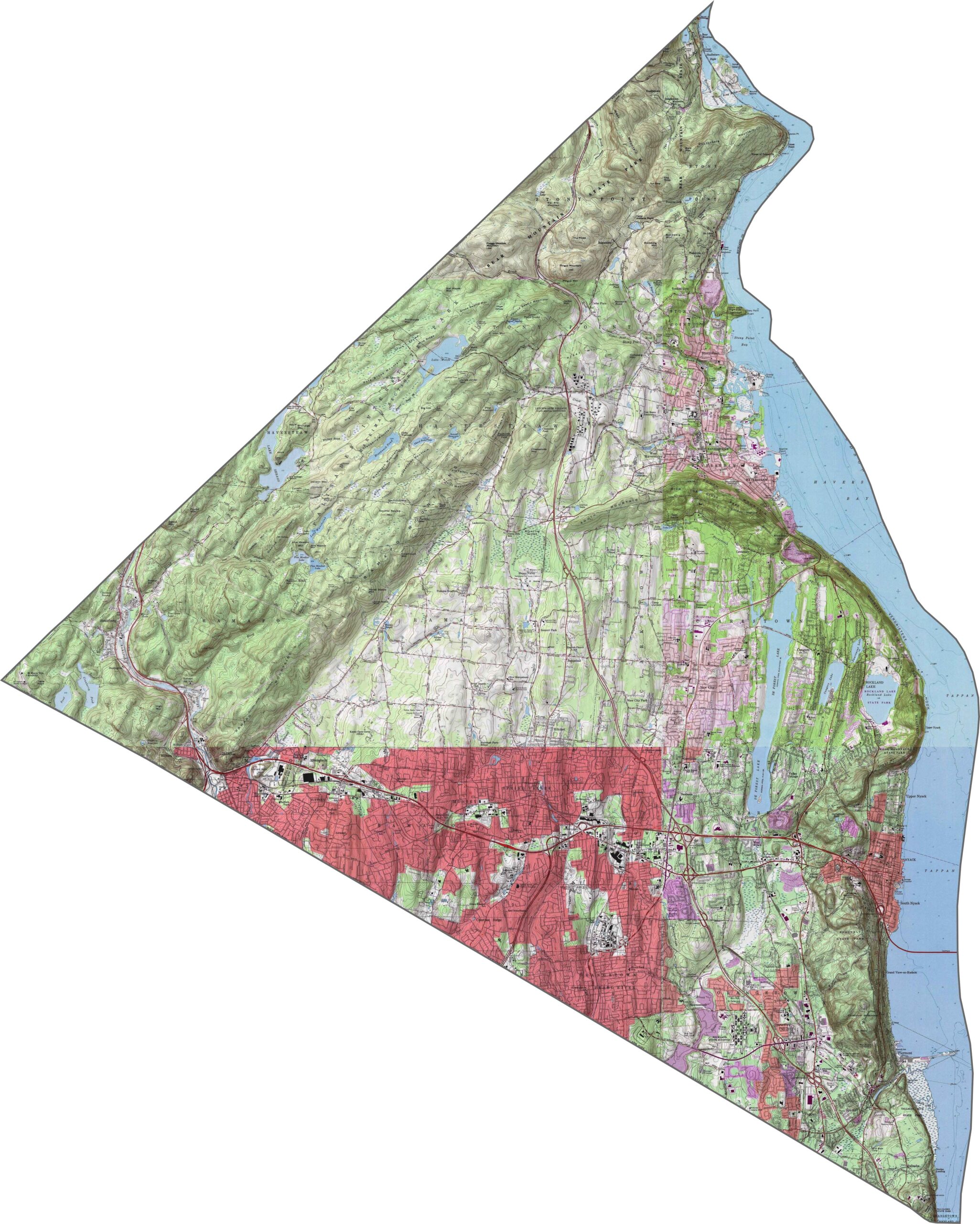
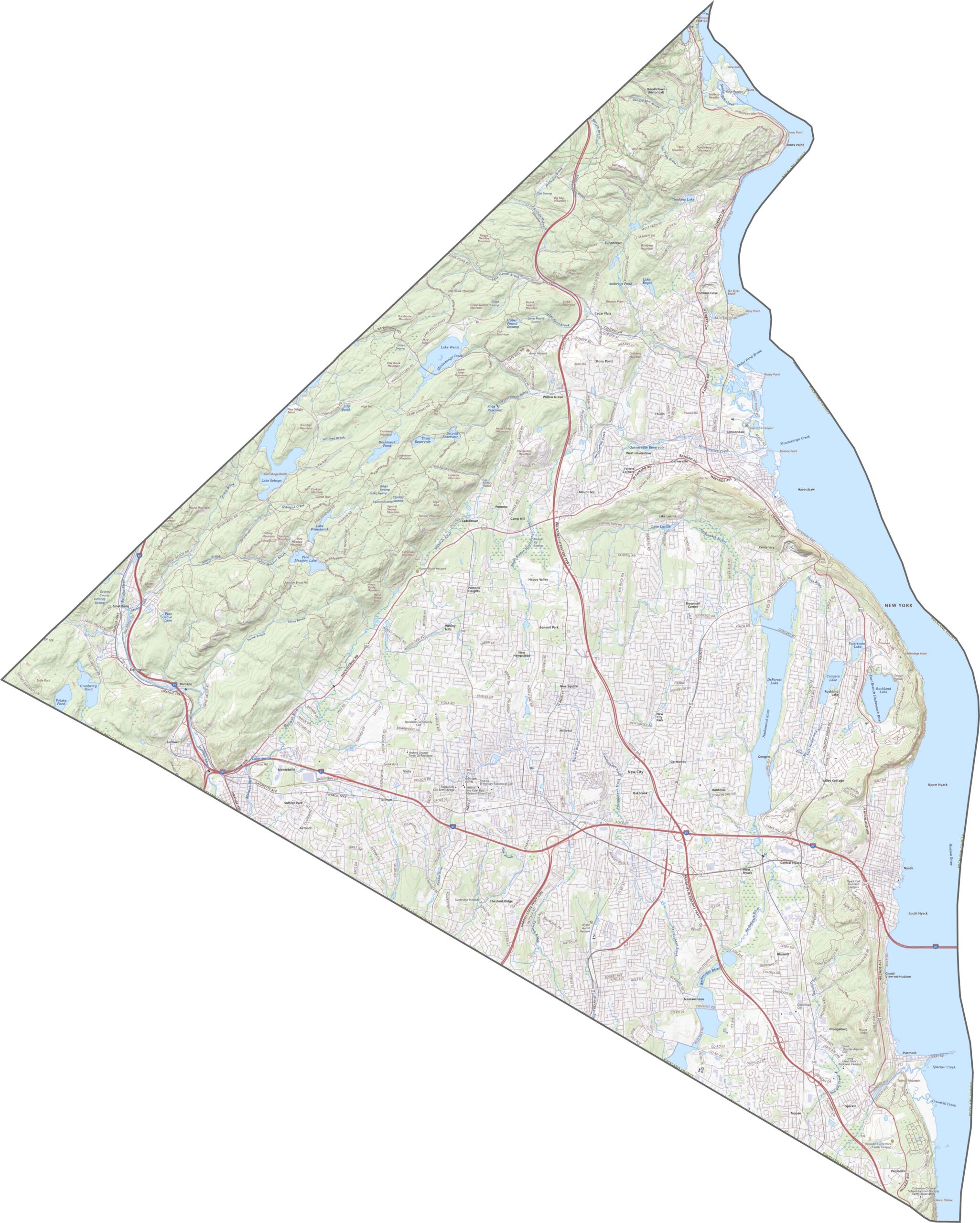
The terrain in Rockland County has more drama than you might expect. Steep slopes rise near the Hudson River, especially around the Palisades. The western half is also hilly, forming part of the Ramapo Mountains. Narrow, deep valleys lie between the hills, creating a landscape with plenty of elevation packed into a small area.
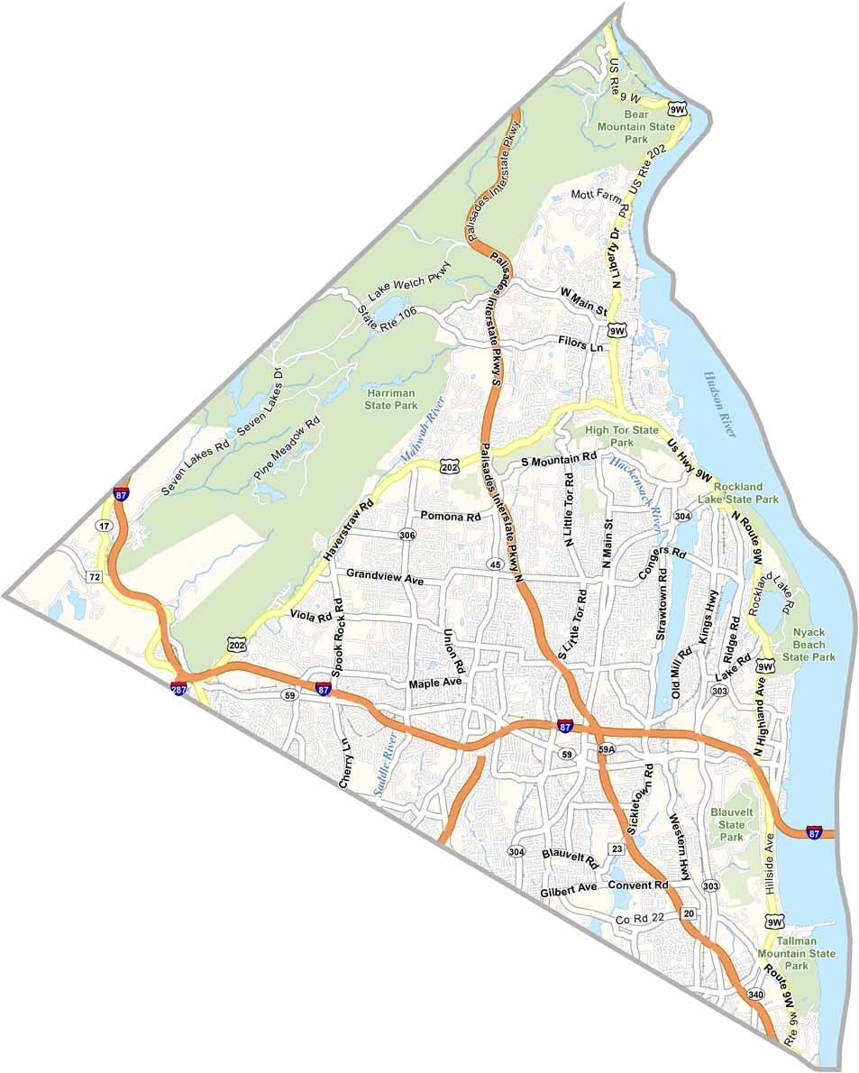
Despite its small size, Rockland County is crossed by several major routes. I-87 and I-287 run together just west of the Hudson River. The Palisades Parkway and US-9W offer a more scenic north–south route. Traffic can build up in some areas, but the backroads through the hills remain relatively quiet.
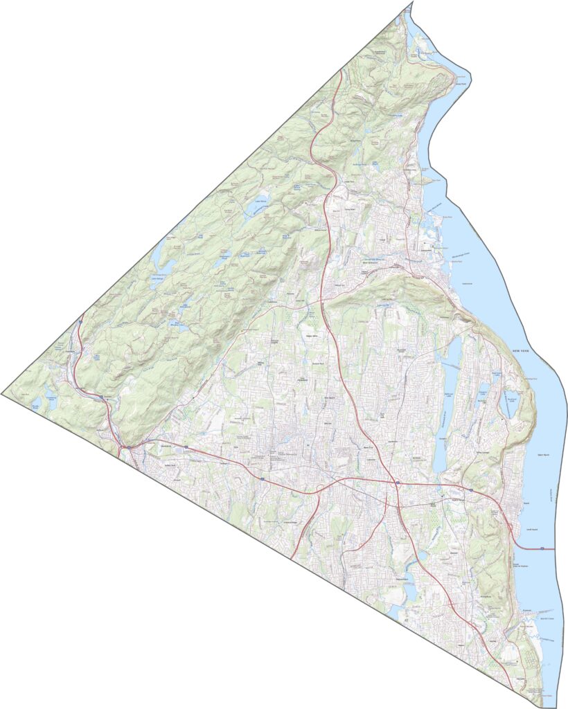
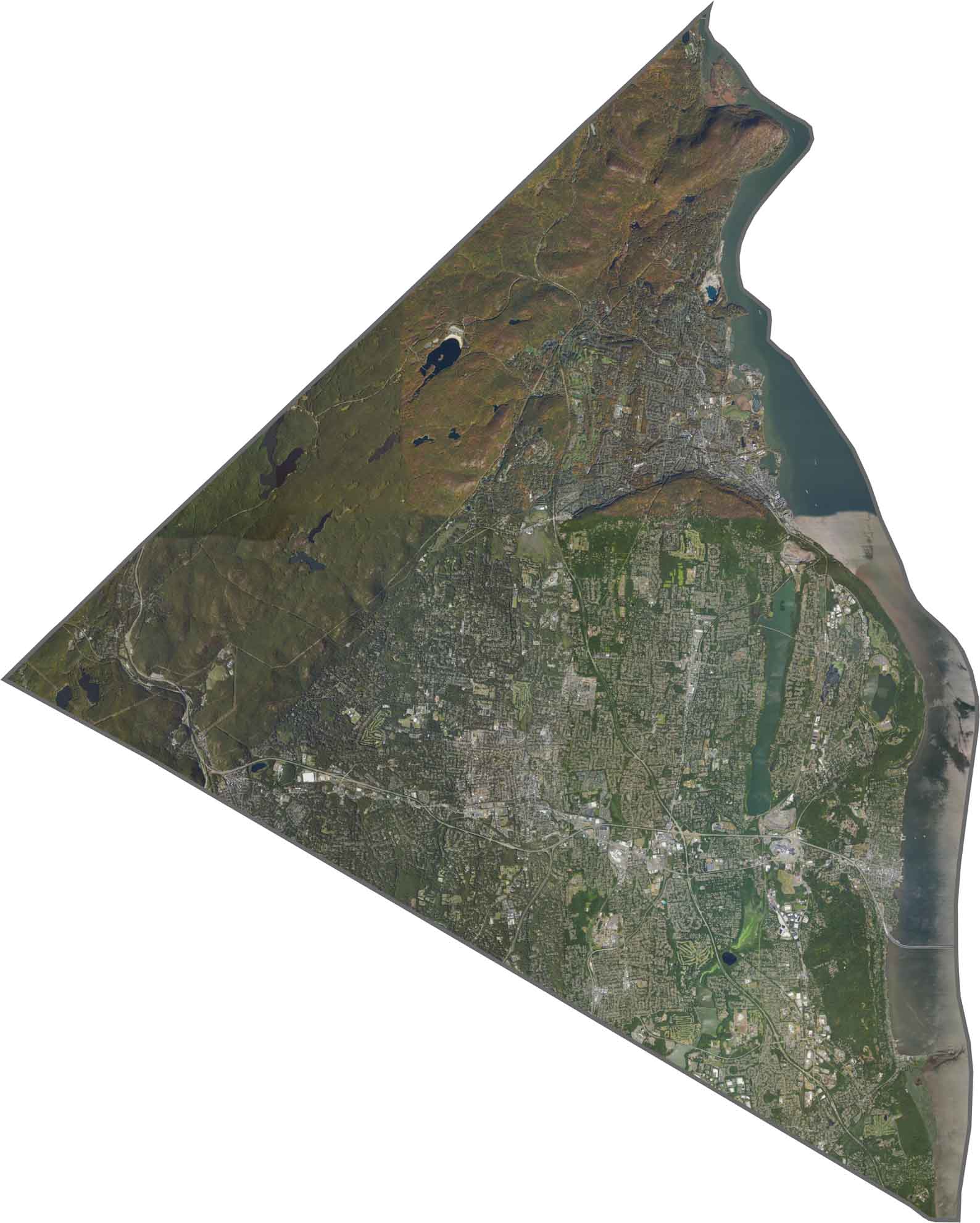
The Hudson River runs along the eastern edge of the county. Dense suburban development fills much of the center, while forested hills spread in from the west. Harriman State Park covers a large section of the northwest and stands out as a dark, textured patch from above. Towns cluster around rivers and highways, with pockets of nature in between.
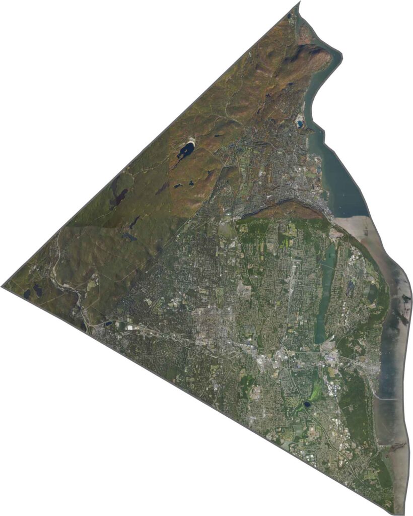
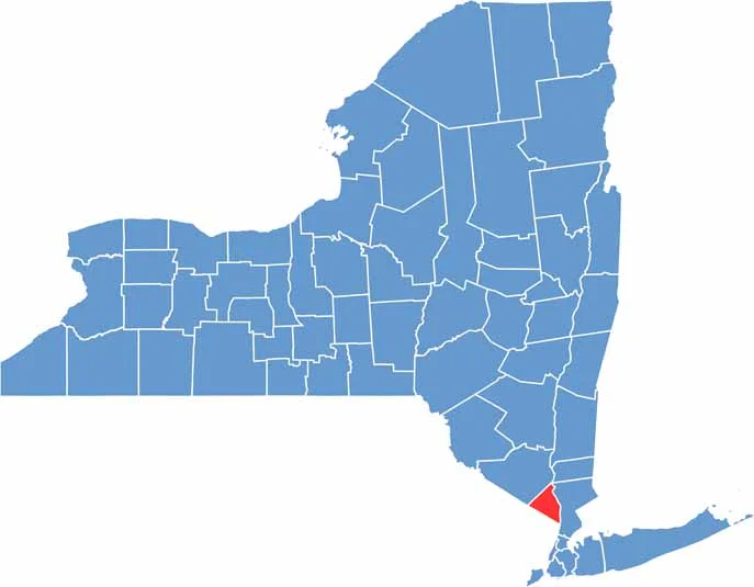
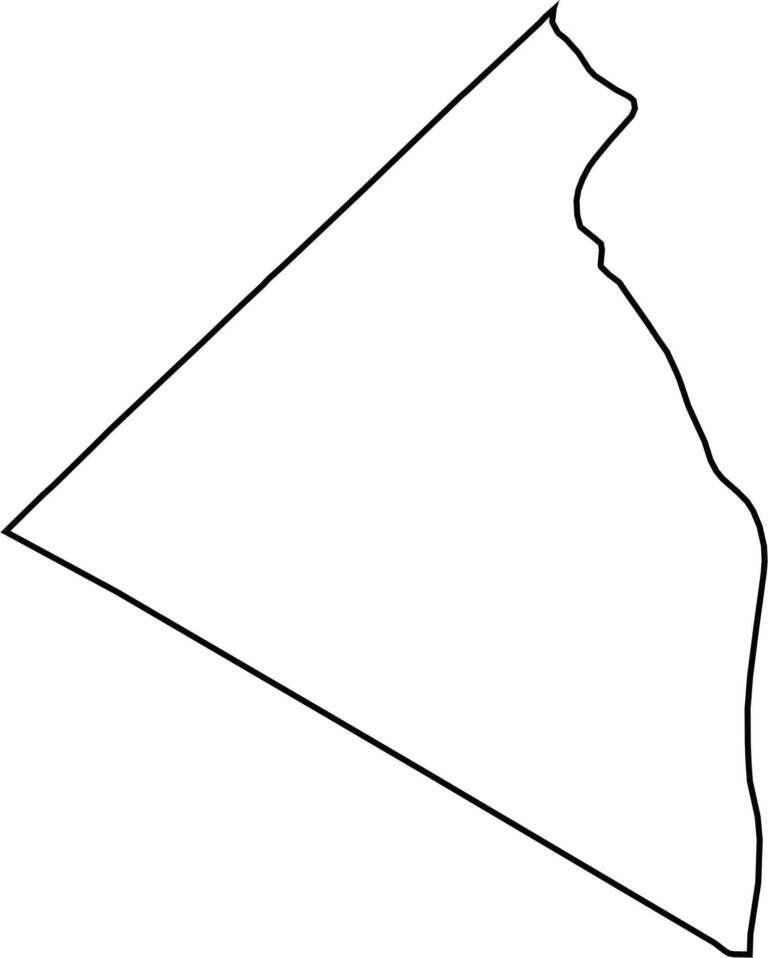
Rockland County has a short, lopsided triangular shape. The Hudson River forms its entire eastern border, while New Jersey lies to the south and west. The county’s boundaries are tight and slightly angled.








New York has 62 counties, and each one has its own personality. From the nonstop energy of Manhattan to the quiet wilderness of the Adirondacks, there’s plenty of variety to explore. And yes, we can’t forget those famous Buffalo wings. Explore our New York county maps.