
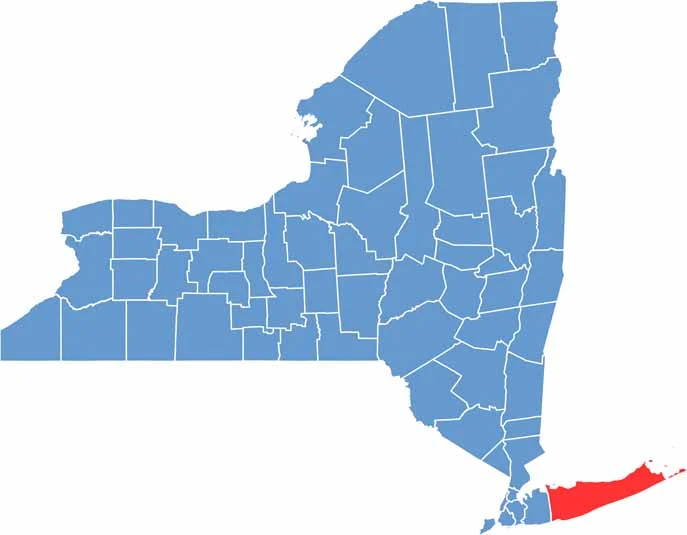
Suffolk County covers the eastern end of Long Island, stretching from busy suburbs to beautiful beaches. It’s a place where bustling communities and quiet farms exist side by side. The Hamptons attract celebrities and wealthy visitors, while the rest of the county offers a much more varied landscape.
You’ll also find peaceful nature preserves, historic lighthouses, and vineyards covering the North Fork. The South Shore is known for its excellent fishing spots, giving outdoor enthusiasts plenty to enjoy.
Suffolk County has a long history and was one of New York’s original counties. Today, it is the fourth-most-populous county in the state. Head out to Montauk Point to watch the sunrise and experience the easternmost tip of New York.
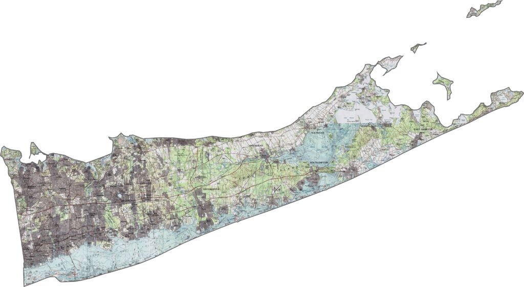
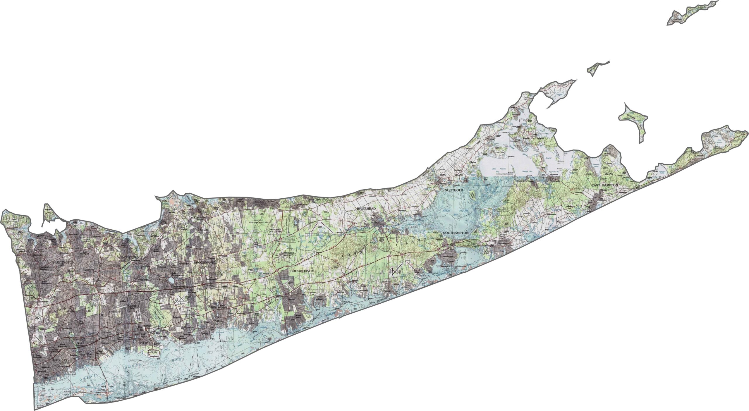
The land across Suffolk County stays low and elongated. Dunes line the coastline, while the inland terrain is mostly flat or gently rolling. Glacial deposits created some ridges through the center, but even these elevations remain relatively low. Use our zoom tool below to explore the terrain more clearly.
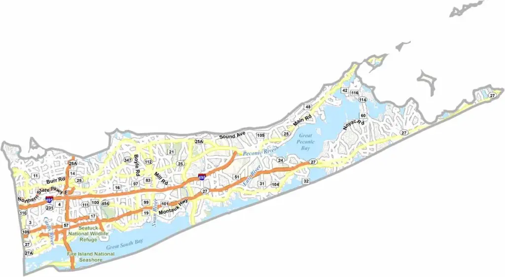
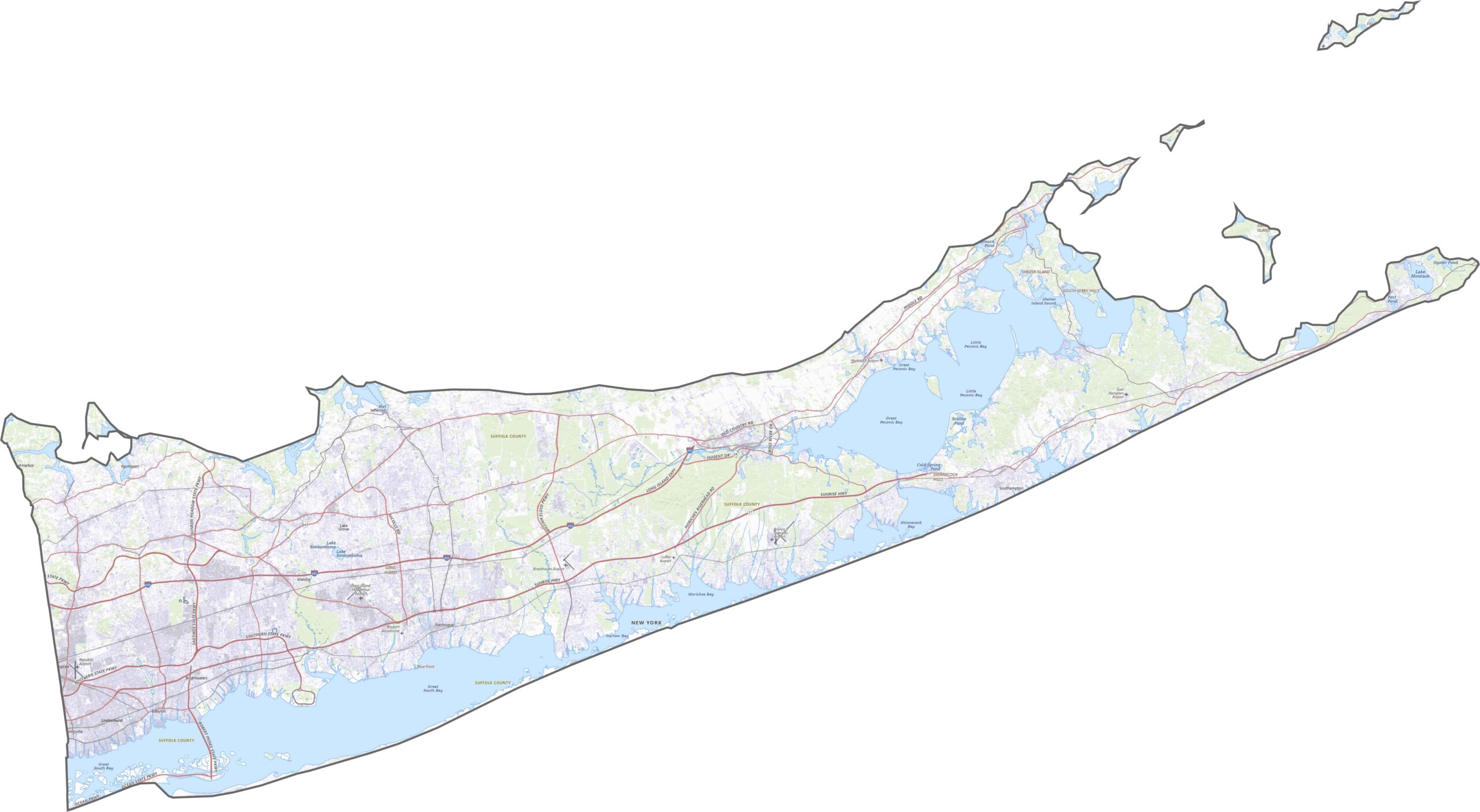
The eastern half of Long Island is covered by Suffolk County, with major roads carrying traffic across the region. The Long Island Expressway (I-495) stretches east to Riverhead, while NY-27 (Sunrise Highway) runs parallel closer to the South Shore. There are plenty of roads, but summer traffic can still move slowly. Use the zoom tool to explore the routes leading to the county’s beach communities.
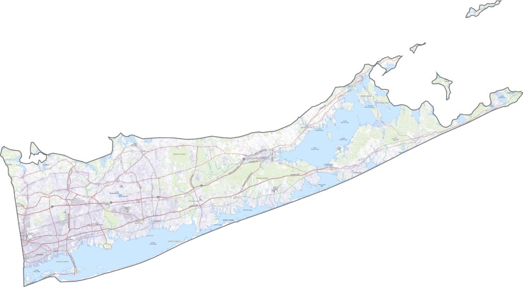
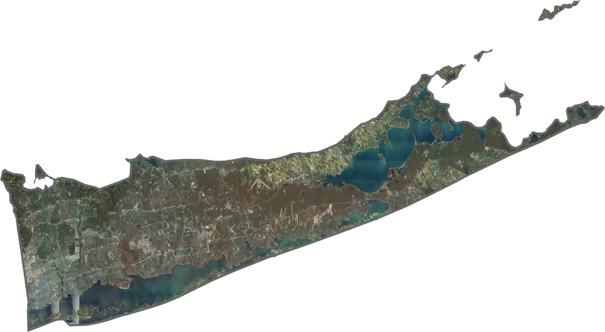
From above, Suffolk County is a mix of water and suburban development. Green farmland covers much of the North Fork, while development becomes denser farther west. Neighborhoods, golf courses, and business parks fill much of the developed landscape, while beaches, bays, and barrier islands surround the county.
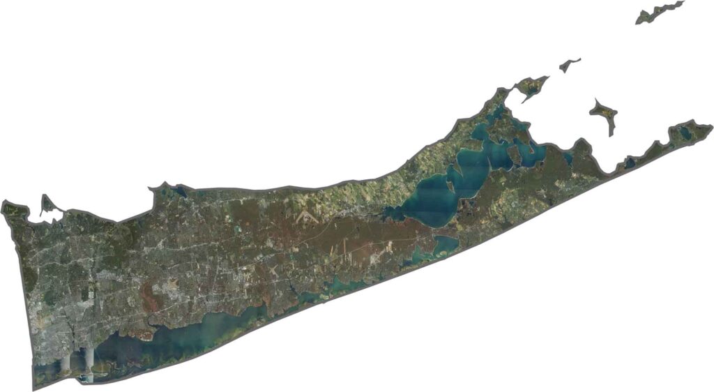
Suffolk County stretches like a fish tail across eastern Long Island and is surrounded by water on three sides. Long Island Sound lies to the north, the Great Bay is to the south, and Gardiners Bay is to the east. The Atlantic Ocean surrounds the broader coastline, while Nassau County borders Suffolk to the west.









New York has 62 counties, and each one has its own personality. From the nonstop energy of Manhattan to the quiet wilderness of the Adirondacks, there’s plenty of variety to explore. And yes, we can’t forget those famous Buffalo wings. Explore our New York county maps.