
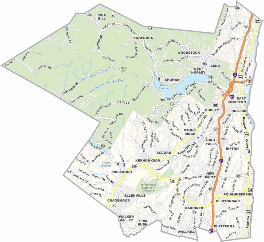
The Catskill Mountains dominate Ulster County in southeastern New York, about two hours from New York City. It’s a popular escape from the city, with Catskill Park covering much of the northwest.
The Hudson River forms the county’s eastern border, creating beautiful scenery along the way. Small towns are scattered throughout the area, each with its own personality. New Paltz has a funky college-town feel, while Woodstock is, well, Woodstock.
History lovers will enjoy Kingston, New York’s first capital. Visitors have plenty of ways to enjoy the outdoors, from hiking and skiing to rock climbing and simply taking in the views. Artists and creative types have been drawn to the area for generations, and that influence can still be seen throughout the local culture.
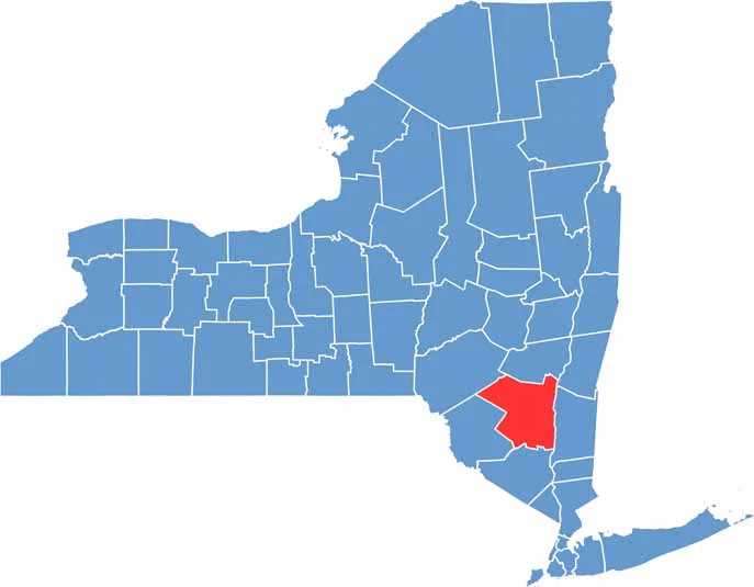
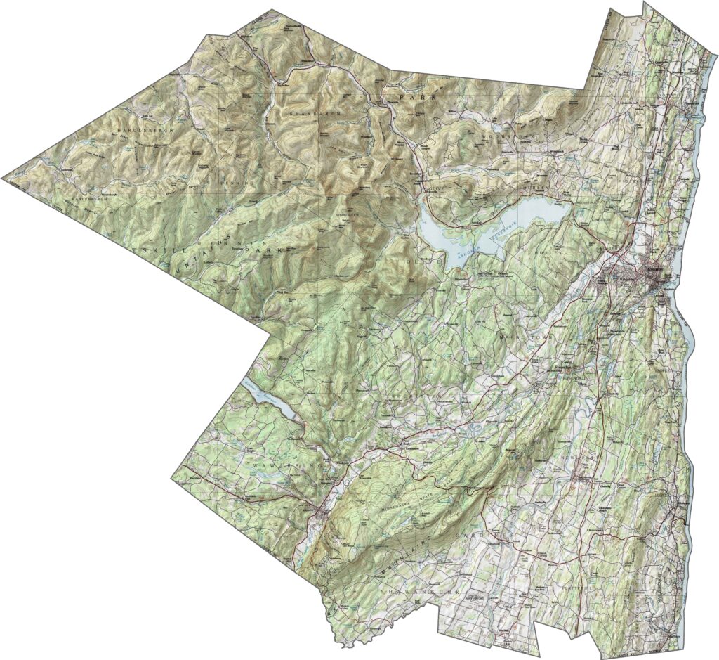
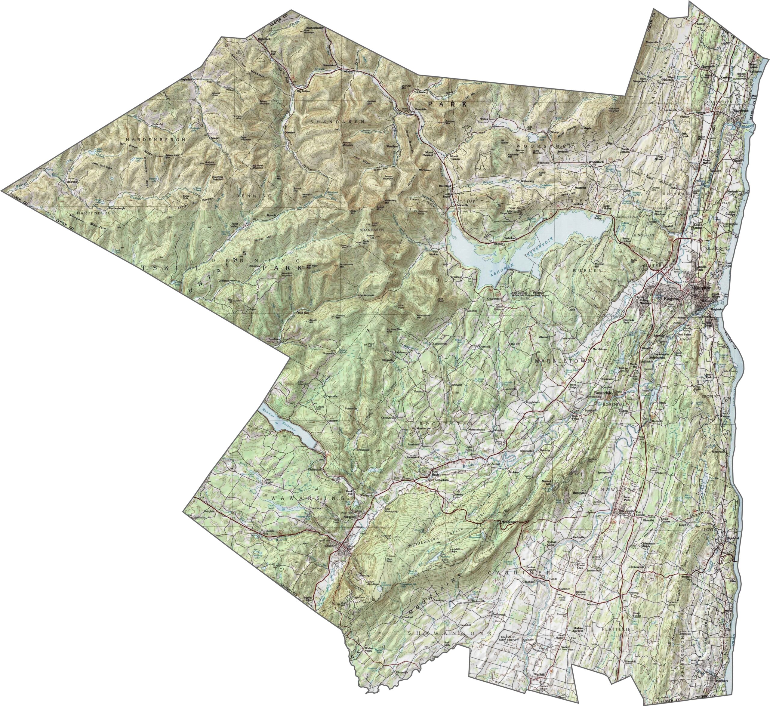
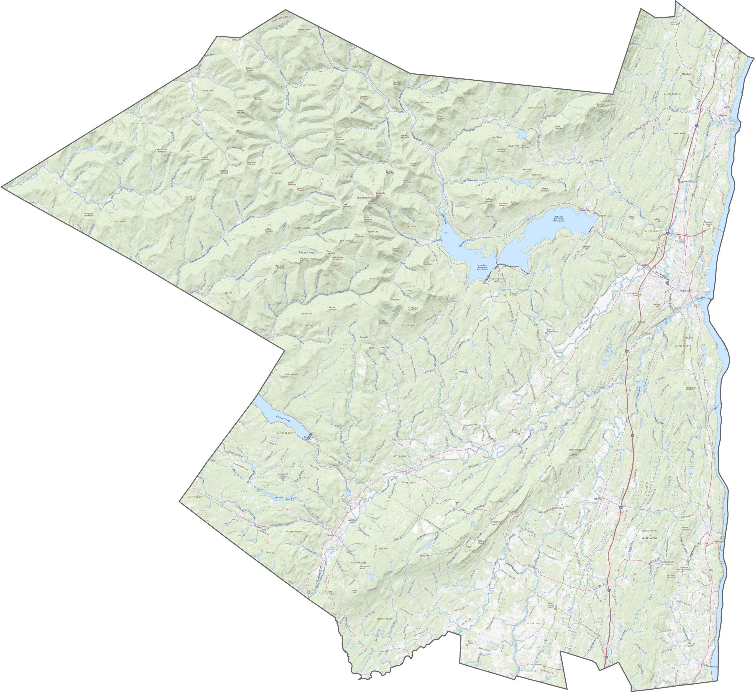
Ulster County has some of the wildest topography in New York. The Catskill Mountains dominate the western and central parts, with sharp peaks, narrow valleys, and deep hollows covering the landscape. The Hudson River creates flatter terrain along the eastern edge, but elevation takes over across much of the rest of the county.
I-87 (New York State Thruway) runs along the eastern side of the county, while U.S. 209 cuts diagonally through the mountains. Some roads are wide and fast, but many others climb gradually through steep terrain. Don’t expect many straight routes through the Catskills. Use our zoom tool to follow the major roads across Ulster County.
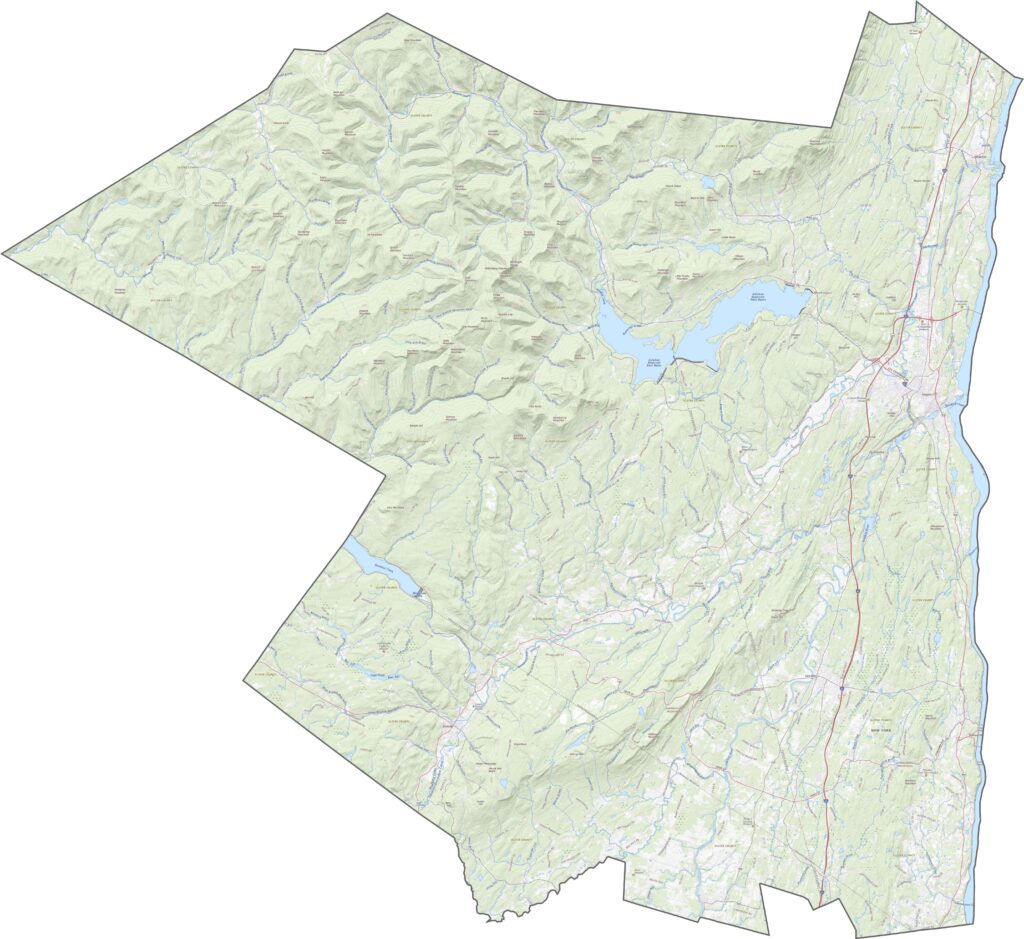
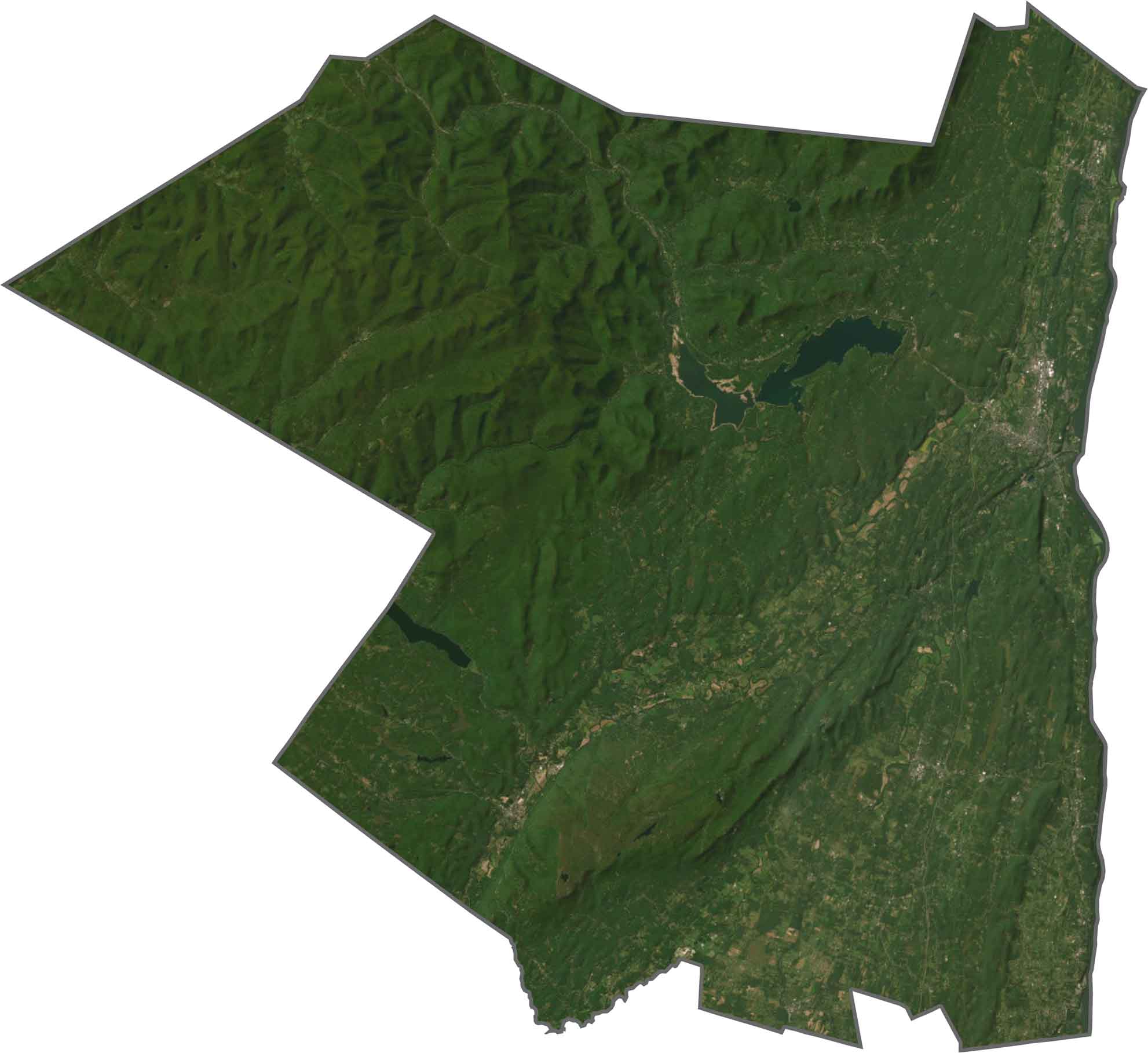
Forests cover much of Ulster County, especially across the Catskills. The Ashokan Reservoir appears as a wide, dark oval near the center, while towns such as Kingston and New Paltz show up as gray clusters near the Hudson River. Still, most of the landscape is dense, dark green forest stretching for miles.
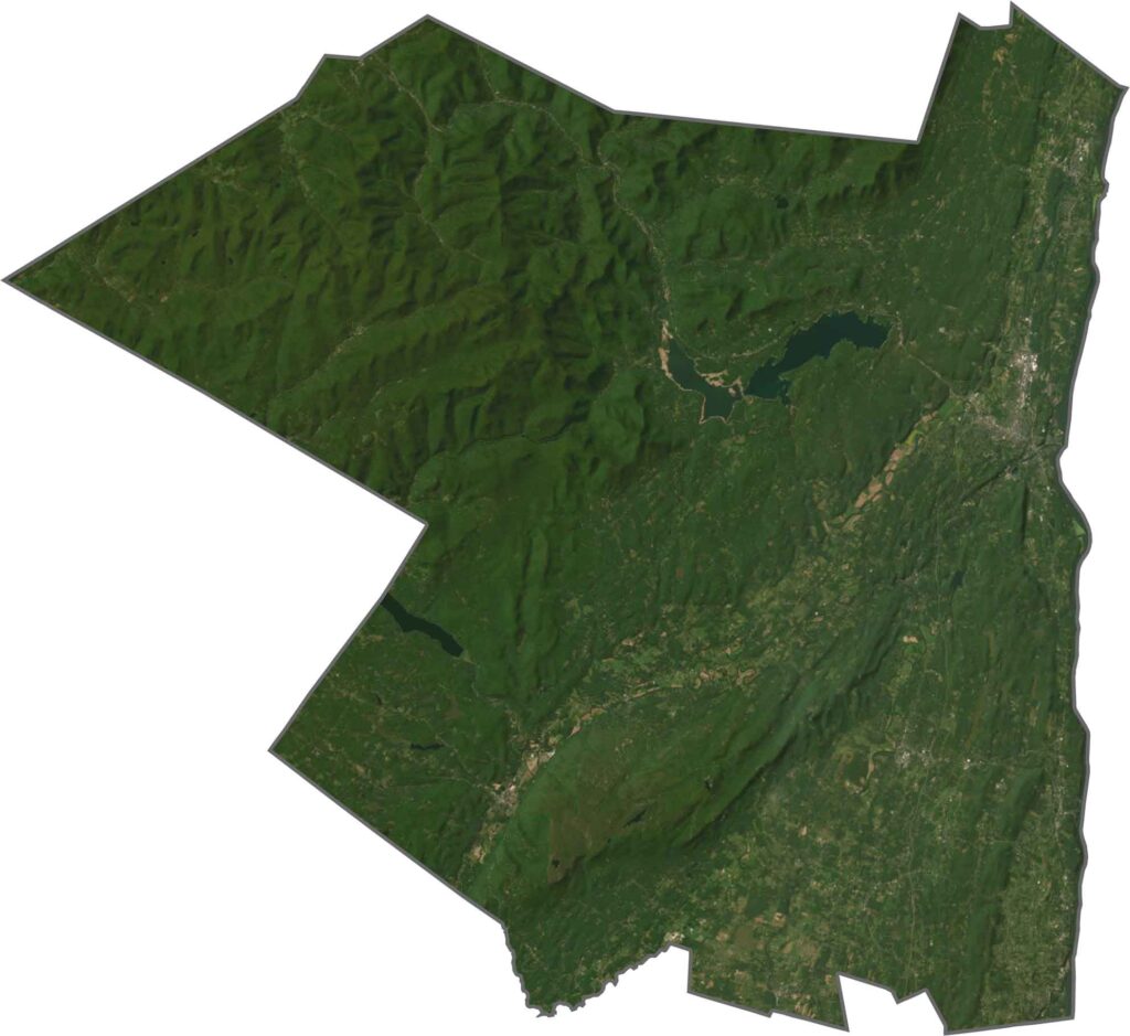
Ulster County has a rugged and irregular shape. The Hudson River forms its eastern border, while the southwestern edge shares a jagged boundary with Sullivan County.










New York has 62 counties, and each one has its own personality. From the nonstop energy of Manhattan to the quiet wilderness of the Adirondacks, there’s plenty of variety to explore. And yes, we can’t forget those famous Buffalo wings. Explore our New York county maps.