
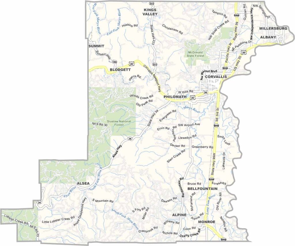
Benton County sits in the heart of Oregon's Willamette Valley and ranks among the world's top grass seed producers. Still, lawn care is only part of the story.
Corvallis, the county seat, is home to Oregon State University and has an unusually high number of PhDs per capita, making it one of the most educated places around. Beavers reign here, both the university's mascot and the real dam-building animals.
The coast is only about an hour's drive to the west, which makes weekend beach trips easy. Marys Peak, the highest point in the Coast Range, offers sweeping views on clear days. The county takes its name from Thomas Hart Benton, a senator from Missouri.
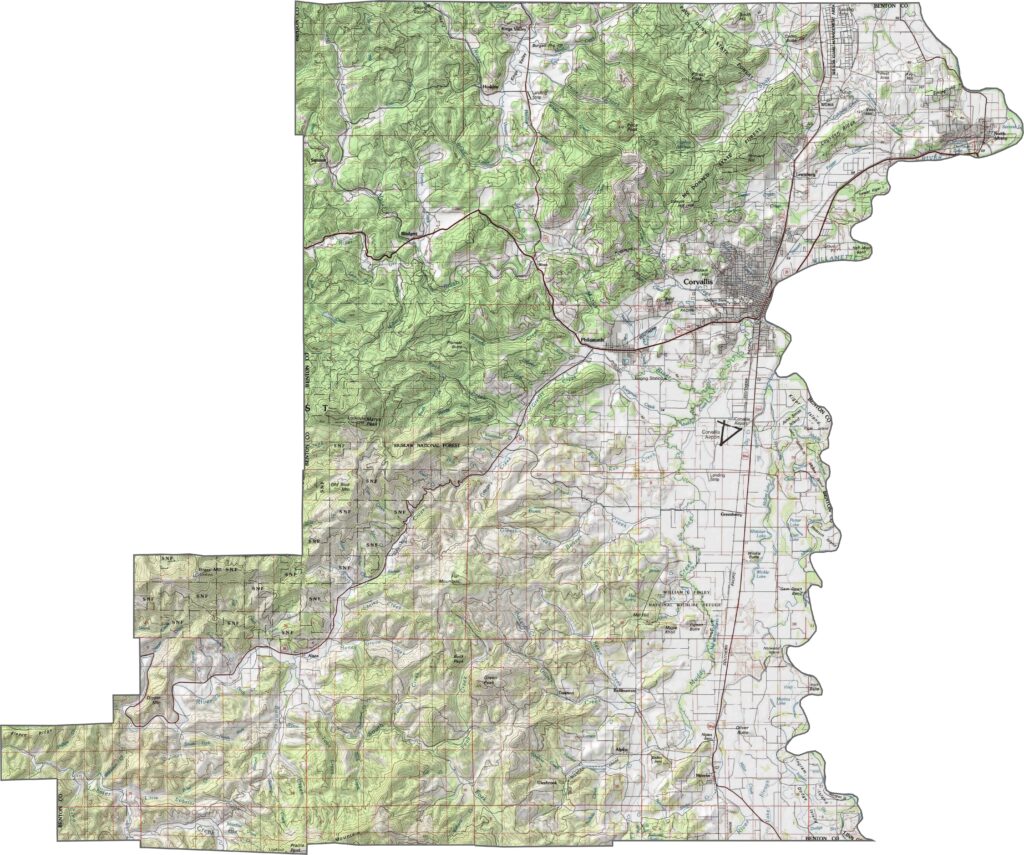
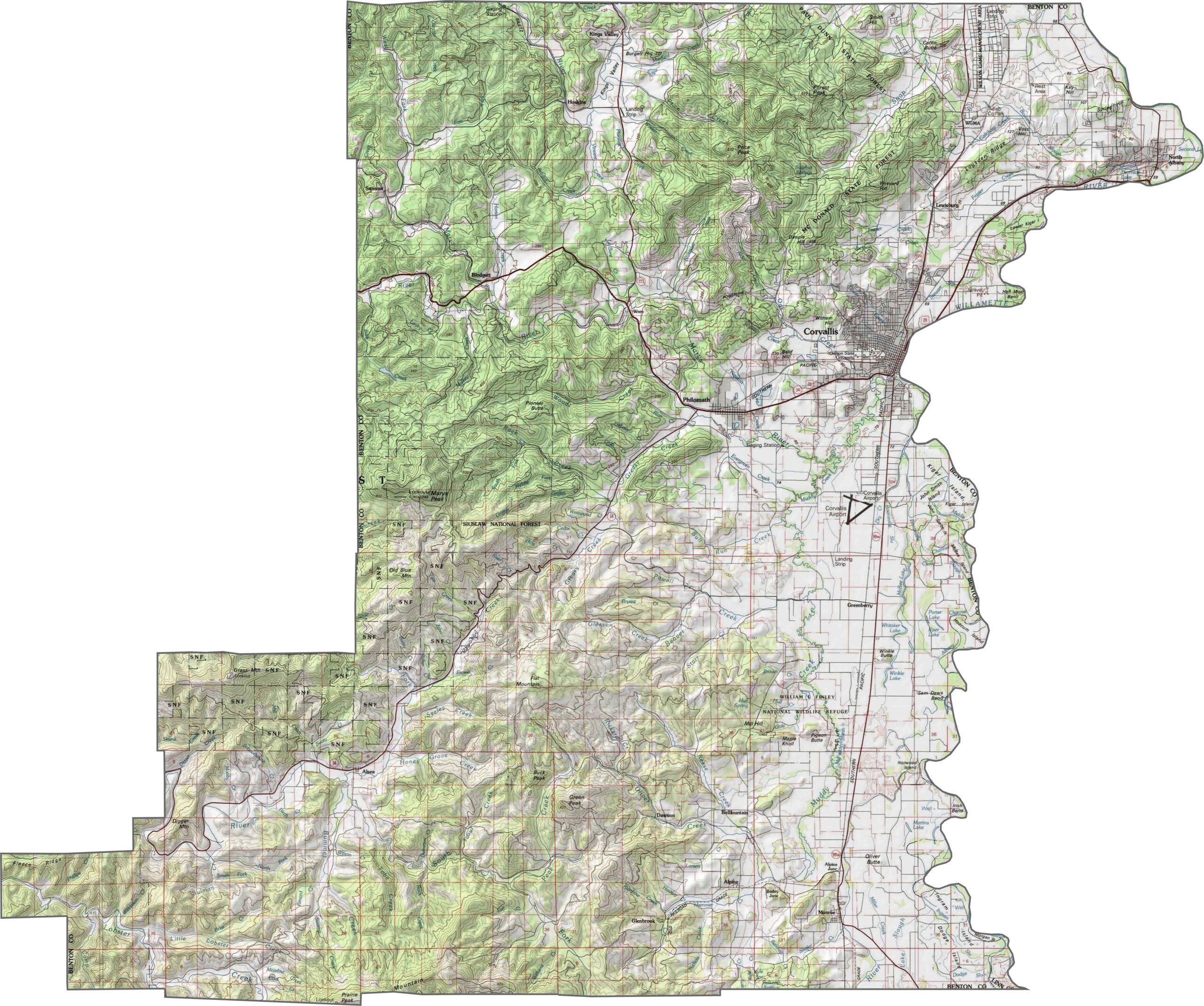
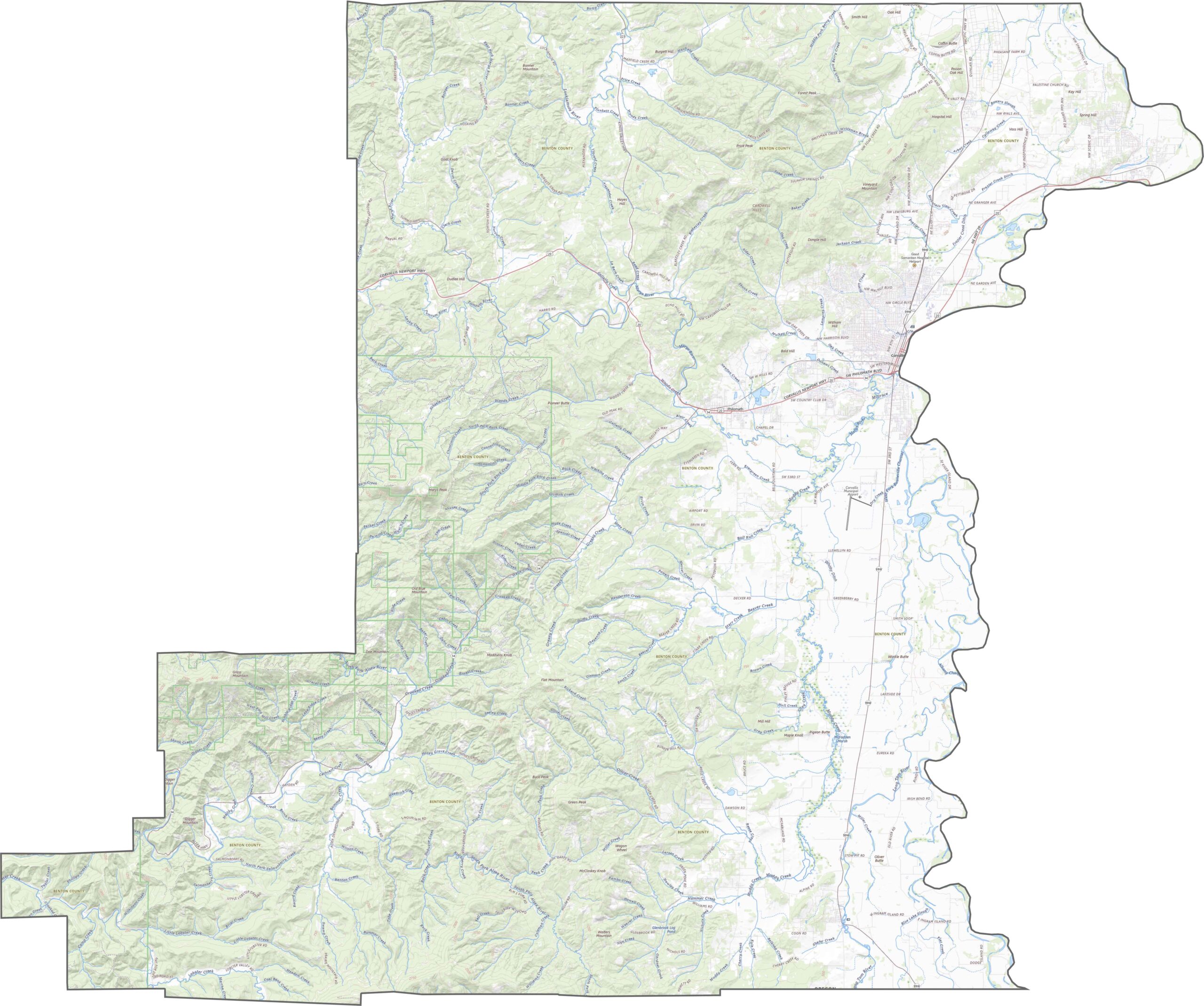
Benton County combines a flat valley floor with rolling foothills. Most of the land lies at low elevation, though the western edge climbs into the Coast Range. Use our zoom tool to explore all the elevation contours.
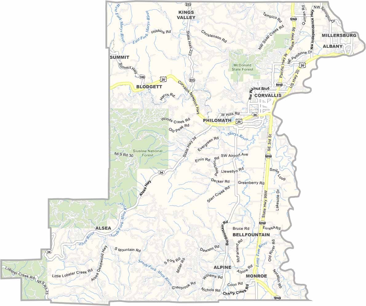
The roads in Benton County are not flashy, but they get the job done. U.S. Highway 20 cuts through from the west, linking the coast to Albany. U.S. Highway 99W runs north to south and handles mostly local traffic. There are no interstates here, yet getting around is simple.
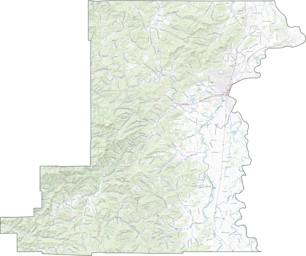
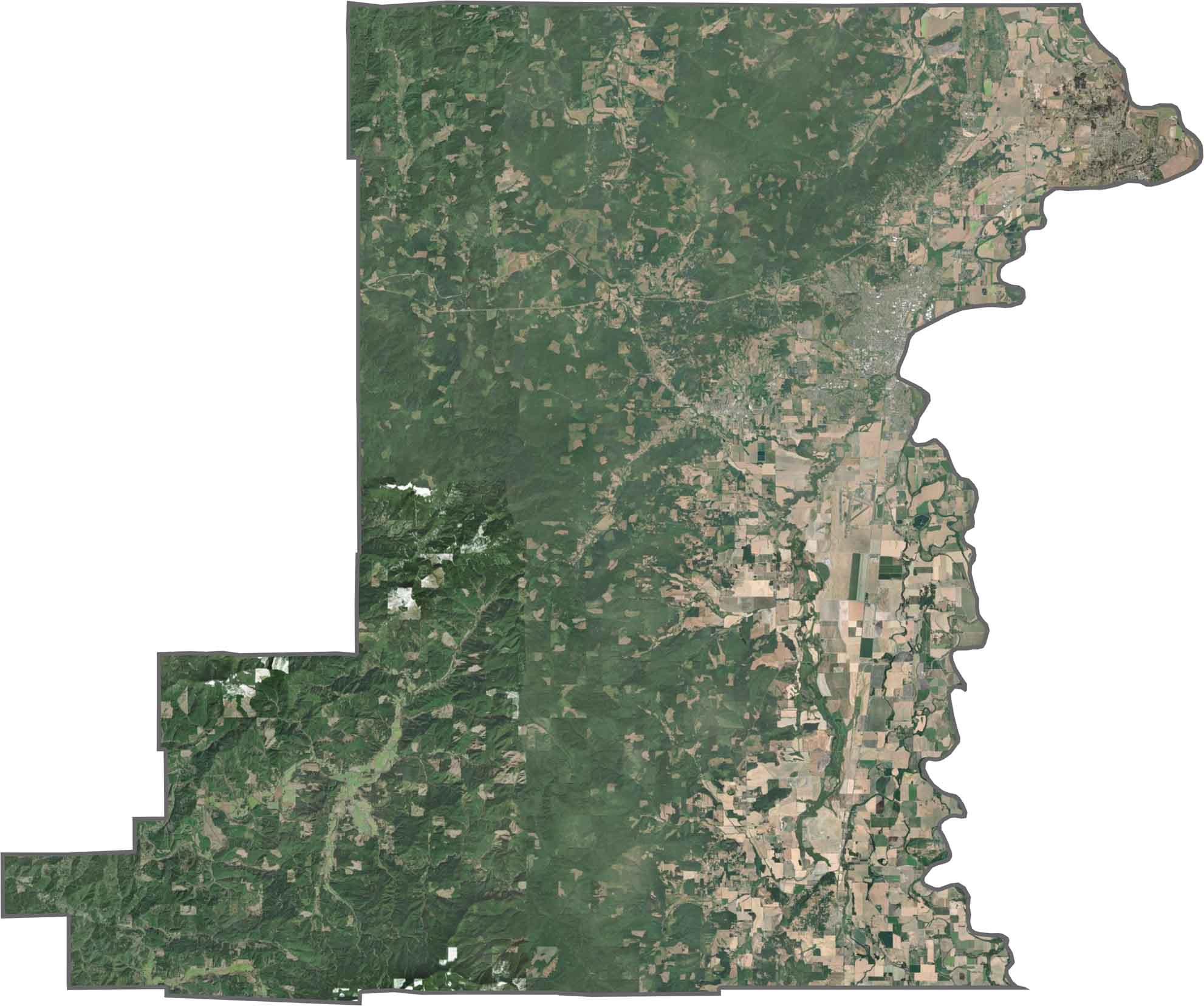
Corvallis stands out near the Willamette River. To the south and west the scenery quickly turns green, with farms, forest, and plenty of tree canopy. Agricultural fields interrupt the landscape, but woodland is never far off.
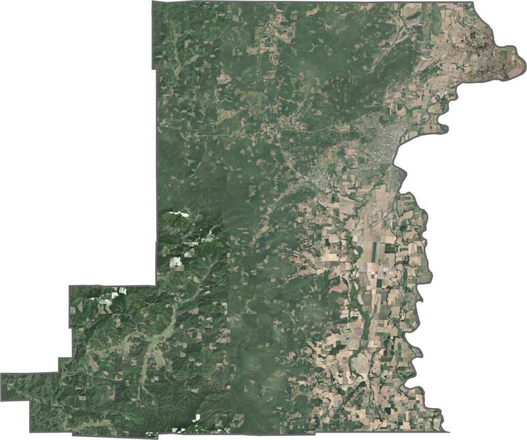
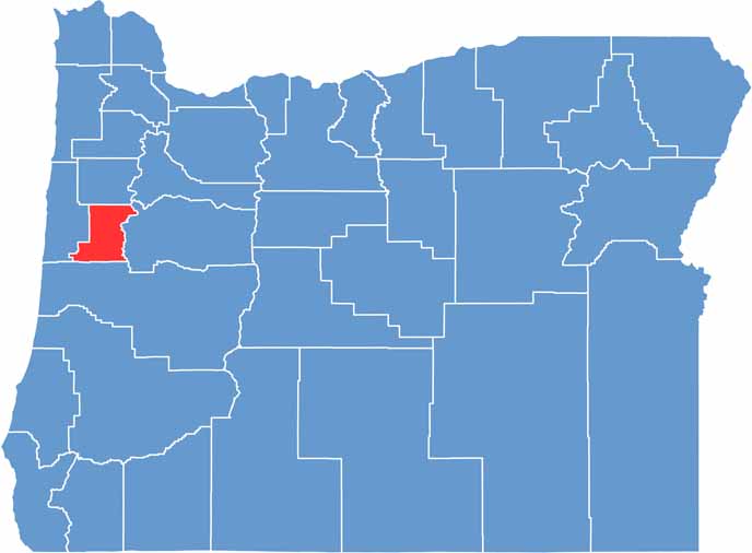
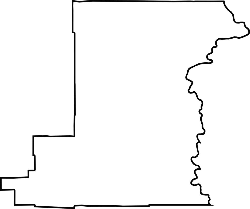
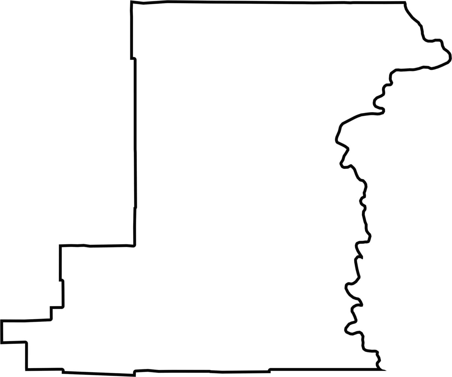
Benton County has a compact, curving shape, since the Willamette River forms its eastern boundary. It borders only other Oregon counties, with no out-of-state lines.






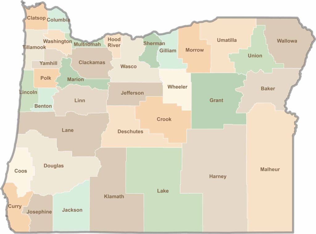
Oregon’s 36 counties cover everything from rugged coastlines and cascading waterfalls to the high desert. One day, you’re exploring a foggy fishing town; the next, you’re standing face-to-face with towering volcanic peaks.