
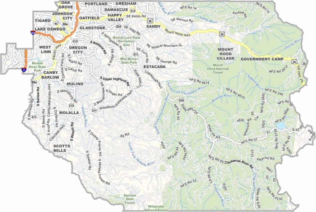
Clackamas County reaches from the suburban edge of Portland to the snowy summit of Mount Hood. City-minded urbanites and rugged loggers share the same ground here, and the variety is as bold as a five-alarm chili.
The Clackamas River runs through the heart of the county, offering world-class kayaking and fishing. You can sip a morning latte in Oregon City, the state's first capital, and be skiing at Timberline Lodge by midday. Farm stands line the countryside, overflowing with berries in summer.
Mount Hood National Forest covers the eastern half of the county, supplying timber and recreation while sheltering wildlife of every size. The western edge runs along Butte Creek and the Pudding River, where upscale riverfront homes sit beside working-class industry. Then there is Estacada, the "Christmas Tree Capital of the World," proof that even Santa needs a supply chain.
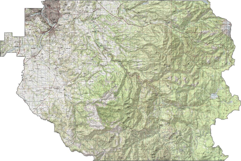
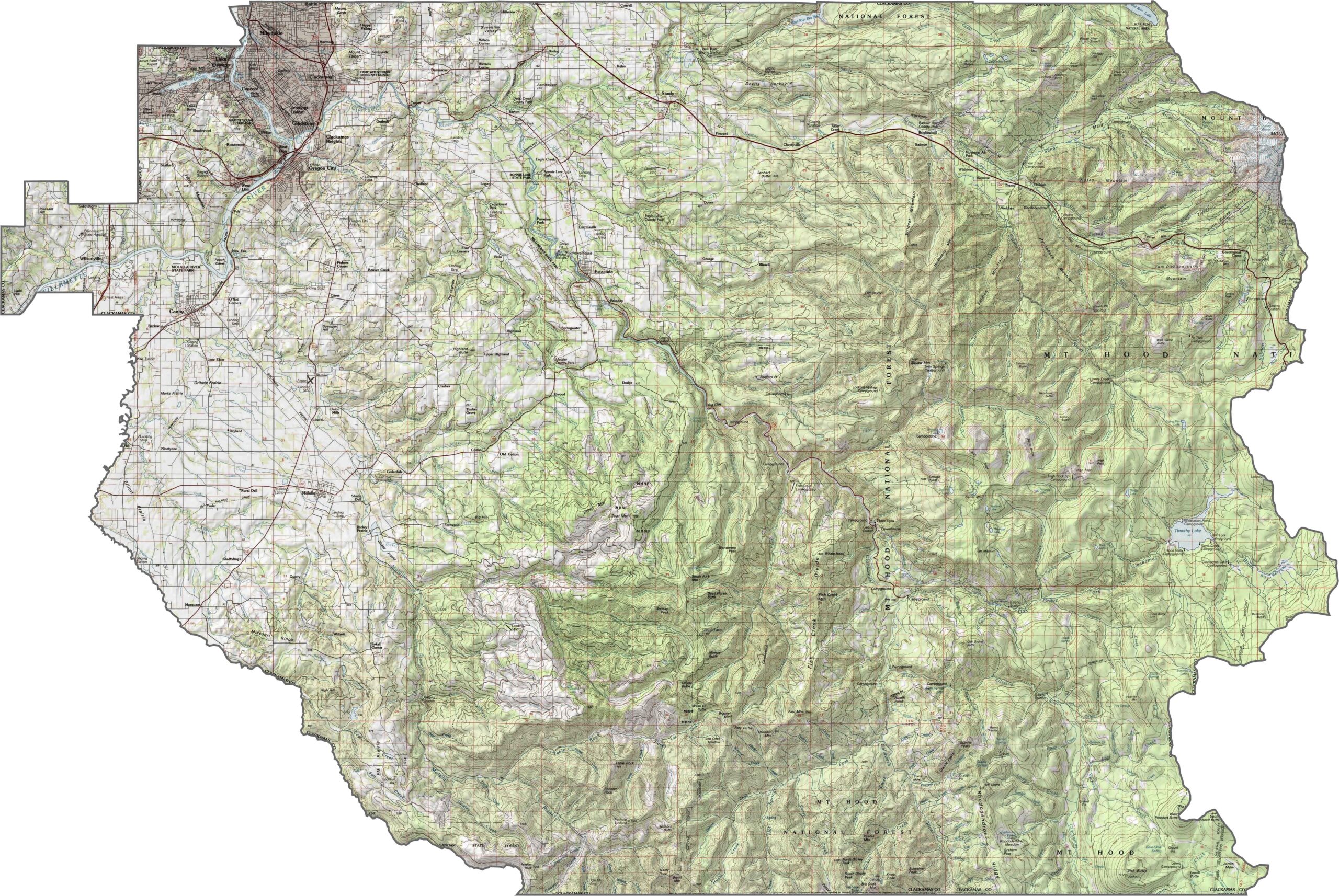
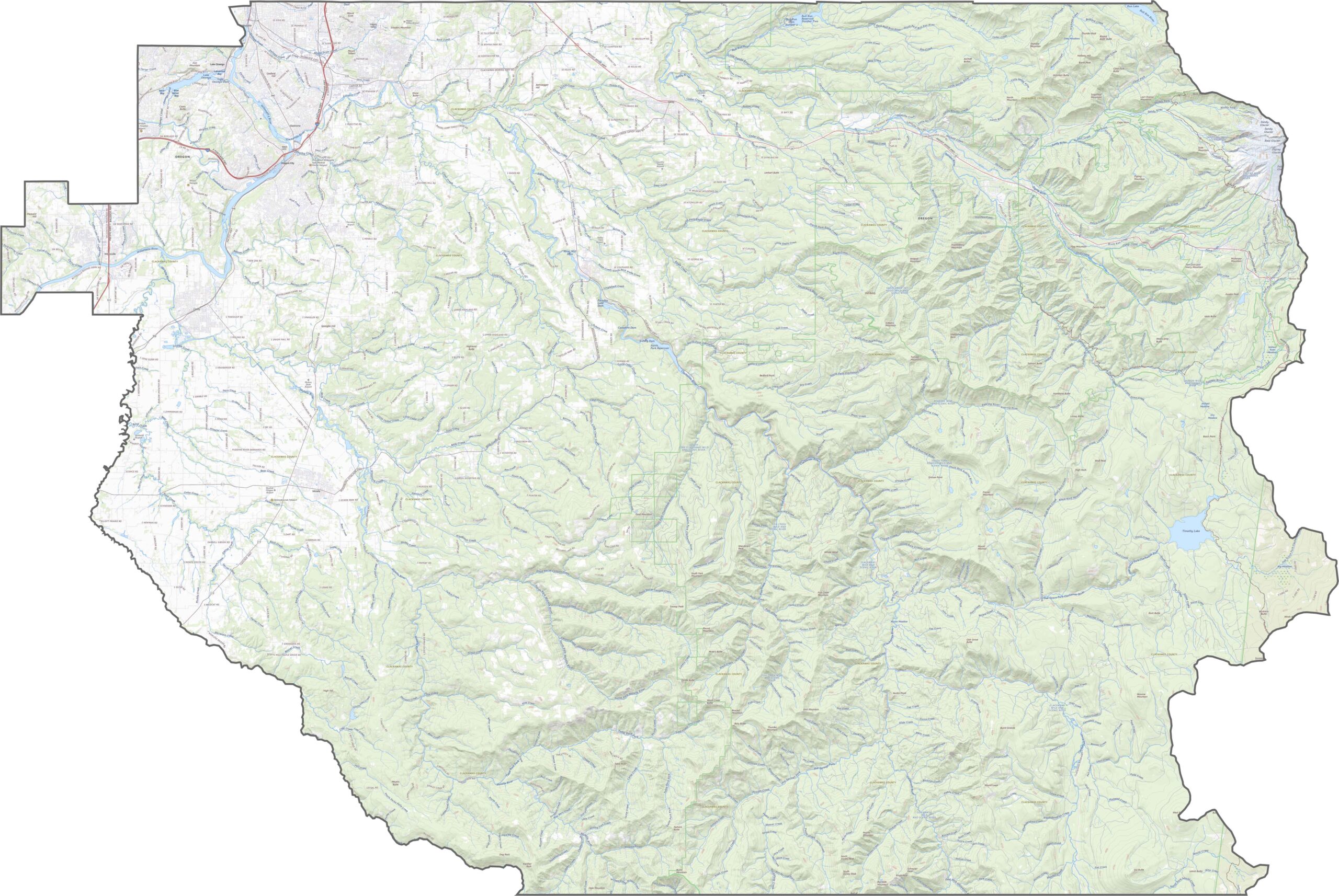
The changes in elevation are dramatic. Western Clackamas County is low and flat, part of the Willamette Valley. Heading east, the land rises quickly through forest and foothills to the slopes of Mount Hood itself, making this one of the most topographically varied counties in Oregon.
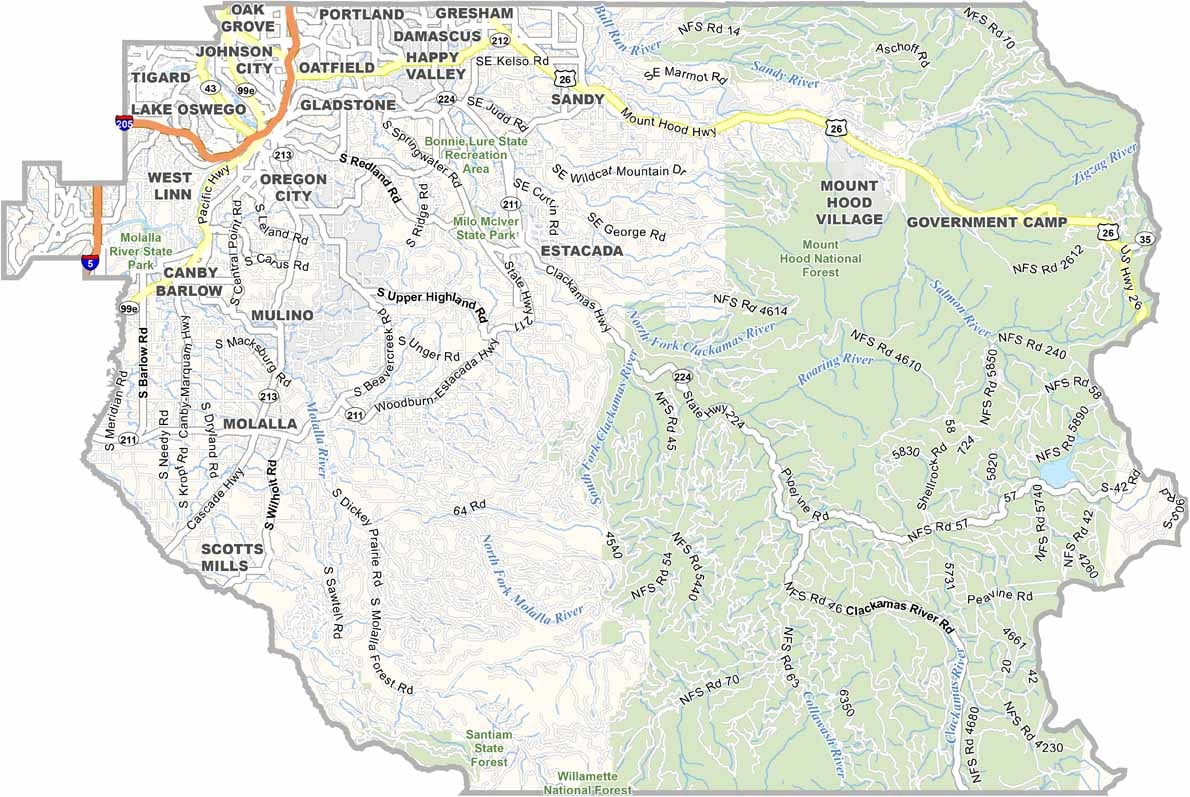
Clackamas County is well connected. Interstate 205 crosses the northwest and helps drivers skirt Portland traffic. U.S. Highway 26 leads east into the Cascades toward Mount Hood, and State Highway 224 winds deep into forested country. Quiet rural roads fill in the gaps between the major routes. For a closer look, use our interactive zoom tool.
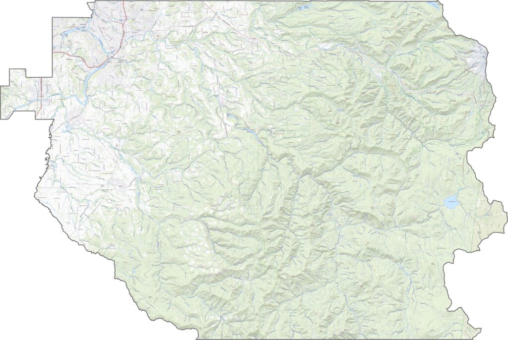
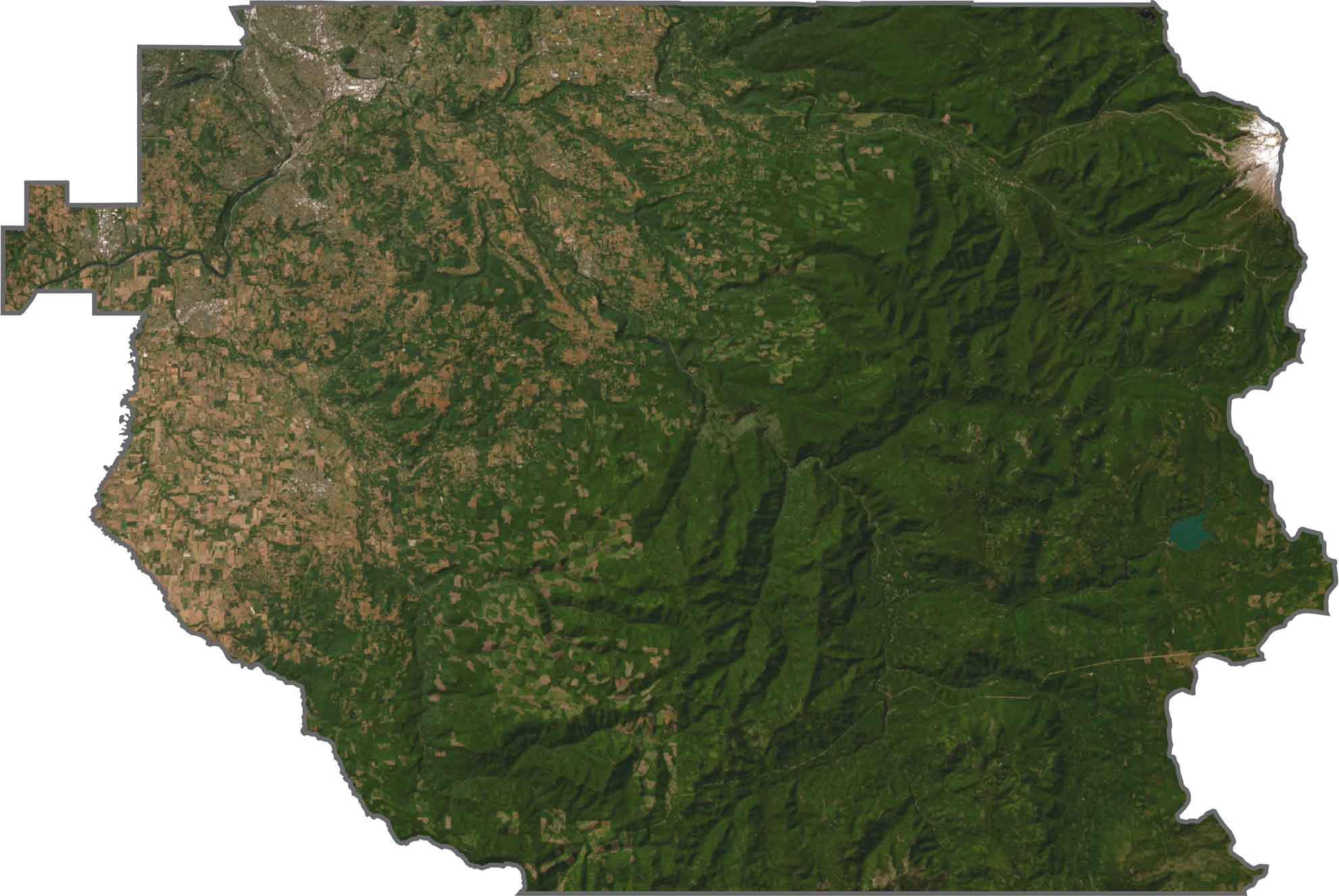
Mount Hood dominates the northeast, with snow, ridges, and lava flows all visible from above. Farther west the terrain flattens into farms, suburbs, and timber tracts. Oregon City, Canby, and Lake Oswego add pockets of development, while the eastern half remains green and rugged.
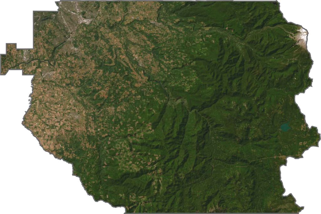
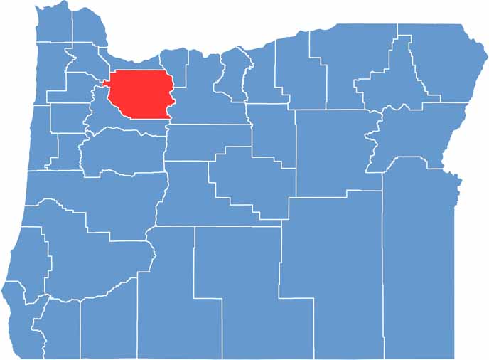
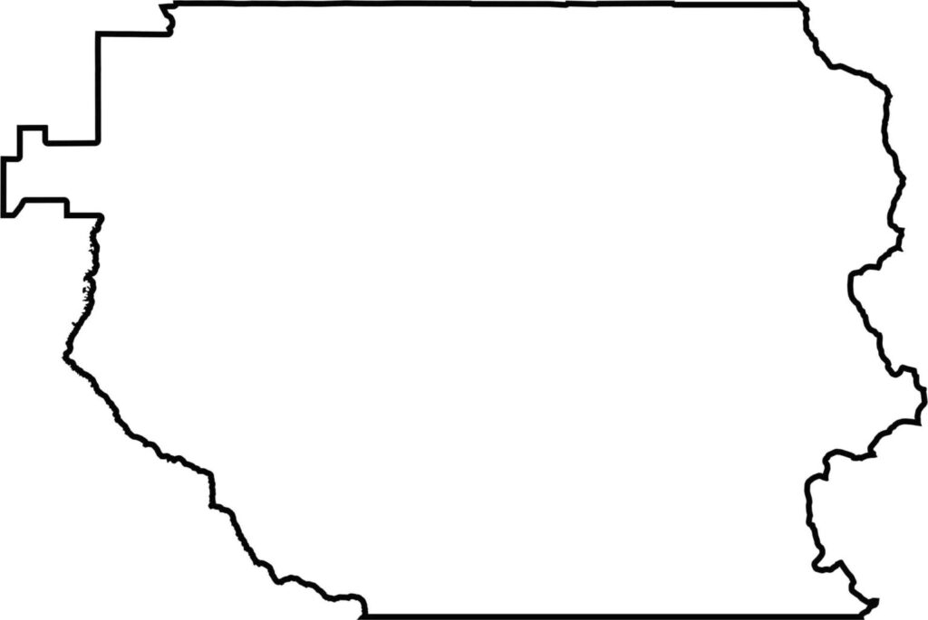
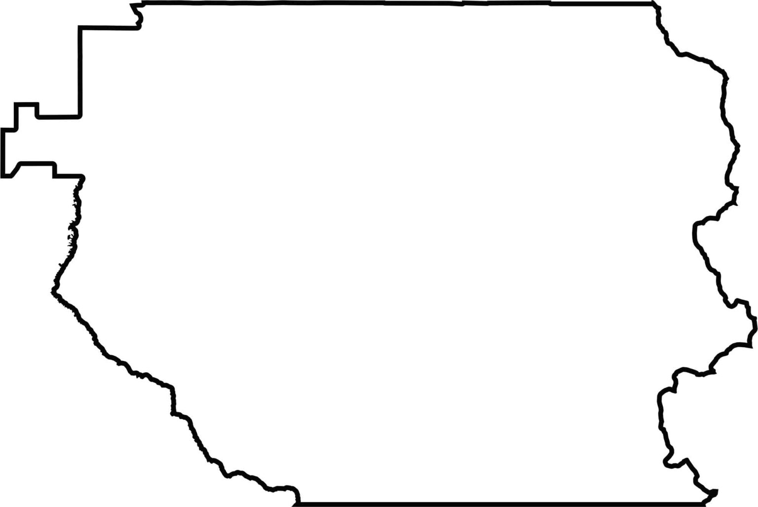
Clackamas County appears bulky yet stretched, as if leaning east toward the mountains. In the west it touches the Pudding River and Butte Creek for a short distance. It has no out-of-state boundary, and its jagged eastern edge climbs straight into the Cascades, where the line follows the mountains.






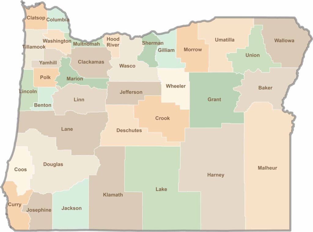
Oregon’s 36 counties cover everything from rugged coastlines and cascading waterfalls to the high desert. One day, you’re exploring a foggy fishing town; the next, you’re standing face-to-face with towering volcanic peaks.