
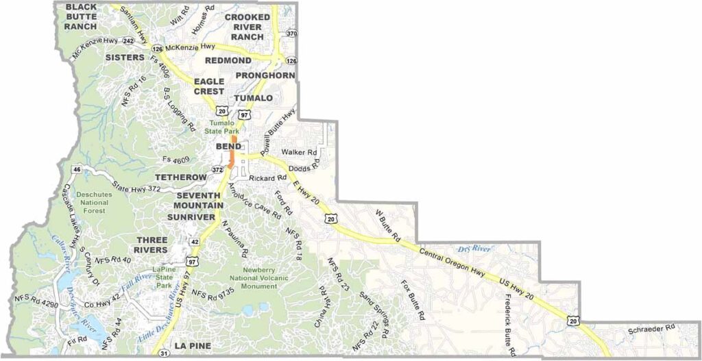
Deschutes County lies in central Oregon and is a true playground for nature lovers. Bend, the county seat, is the trendy standout among Oregon cities, with more breweries than most visitors could ever sample.
The Cascade Mountains rise close by, their snowy peaks calling out to adventurers. The Deschutes River is far more than a waterway, since it shapes the local way of life. Kayakers, rafters, and fly fishers flock to it, and Smith Rock is known as the birthplace of American sport climbing.
It feels as if the best parts of the West were packed into a single county. Summers are made for outdoor adventures, while winters bring skiers to Mt. Bachelor. With four full seasons of recreation, it's easy to see why people never want to leave.
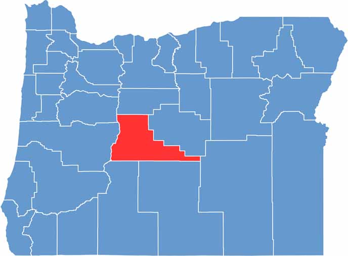
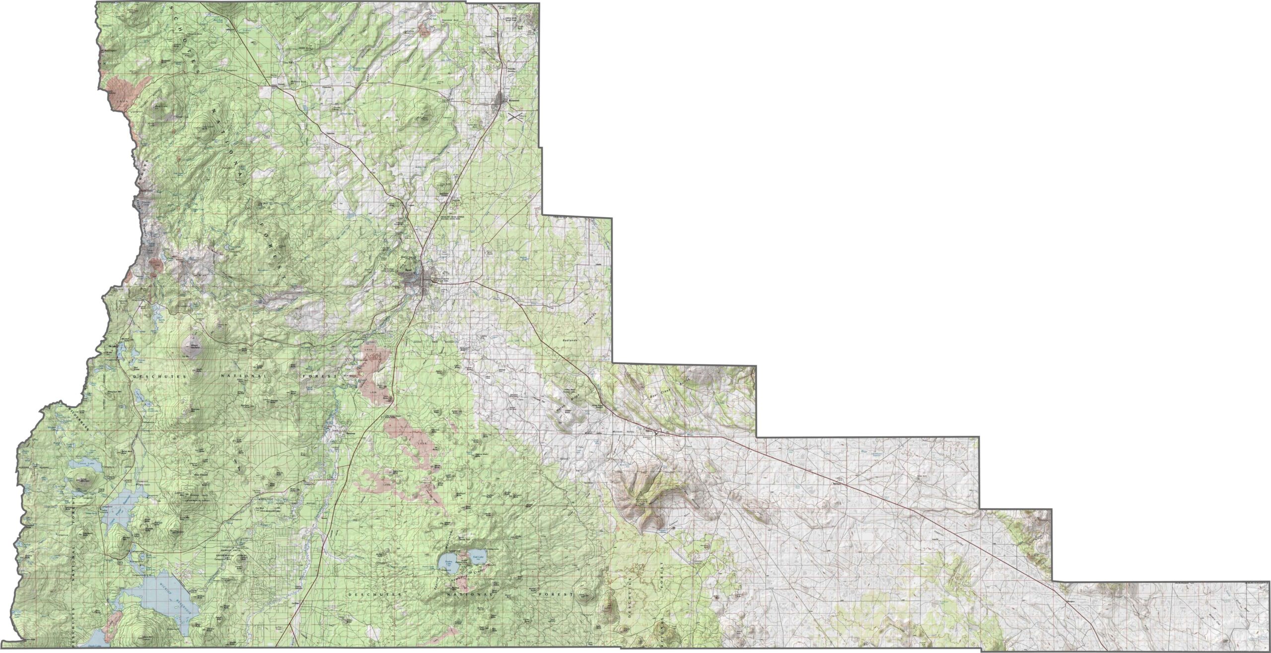
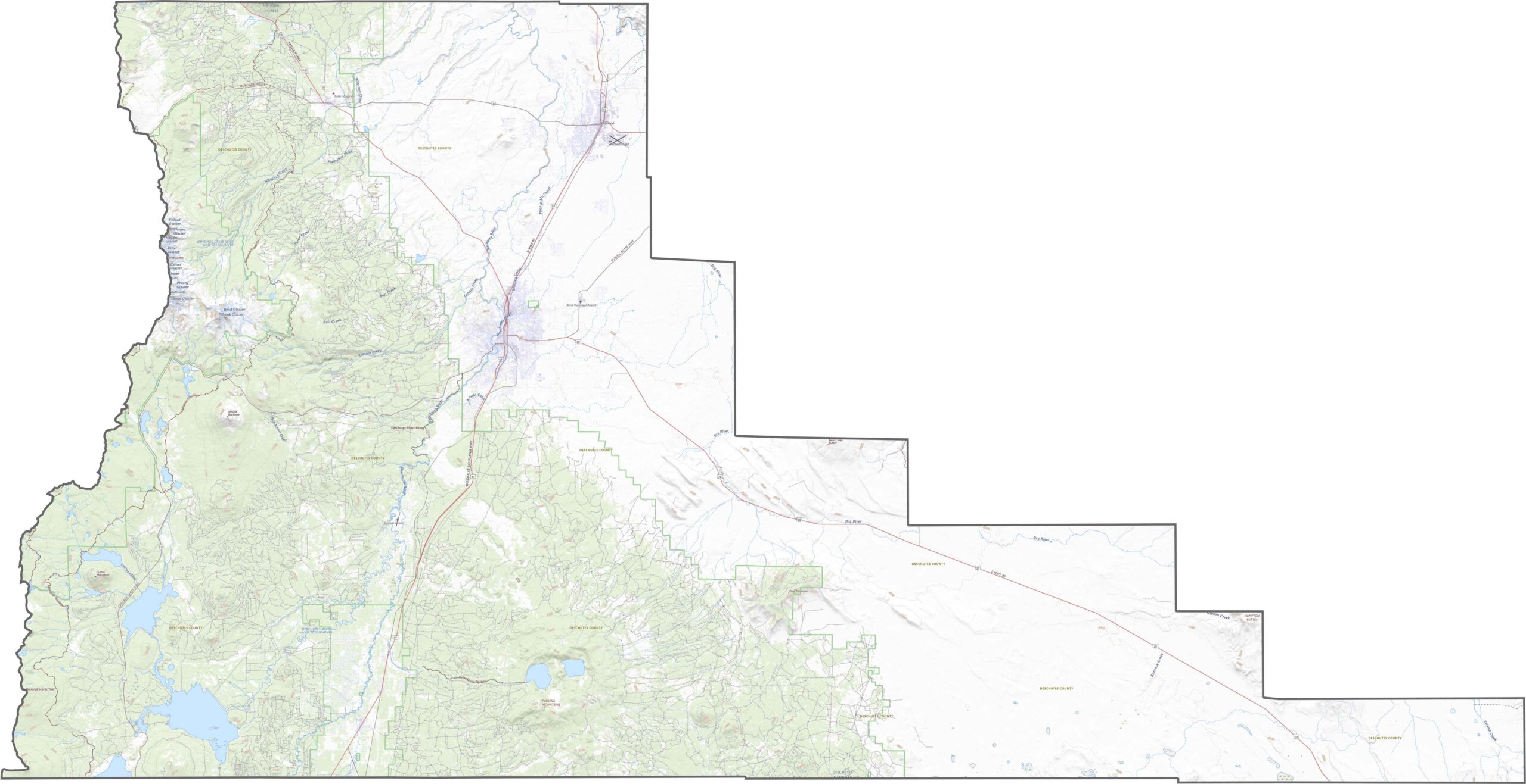
Deschutes County rests on the high, dry plateau of central Oregon, yet the land is far from flat. Volcanic buttes, lava flows, and tall ridges mark the terrain. The Deschutes River winds through the middle of the county, tying the high desert together.
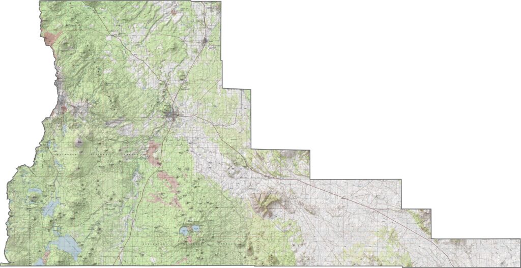
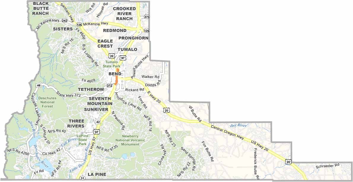
U.S. Highway 97 runs straight through the center and acts as the county's backbone, connecting Redmond, Bend, and La Pine. U.S. Highway 20 cuts in from the northwest toward Sisters and points beyond. Zoom in on our road map to trace every highway.
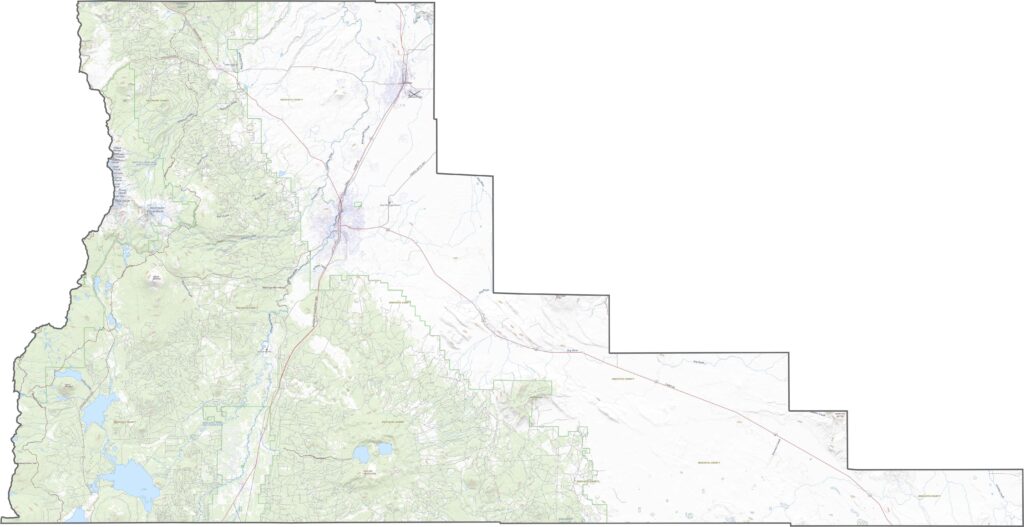
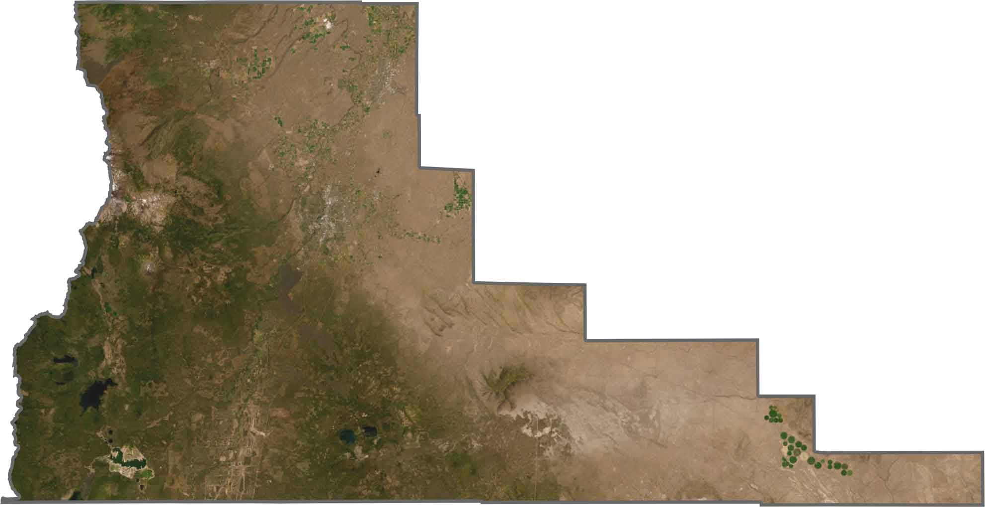
Bend is easy to pick out on our satellite map. Around it you'll find lava fields, cinder cones, and sagebrush plains. The land east of the Deschutes River is mostly dry and open, while forest and mountain shadows dominate the area west of Bend.
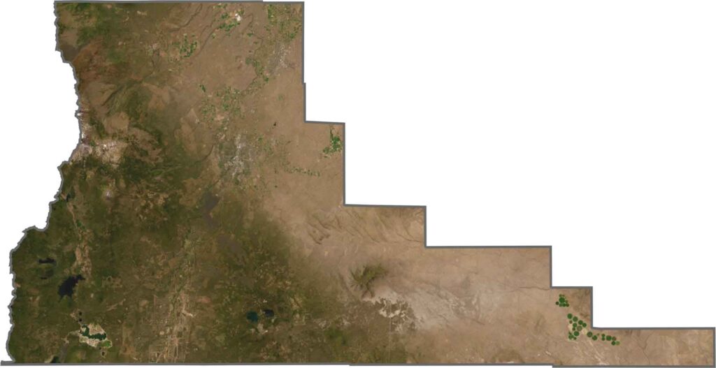
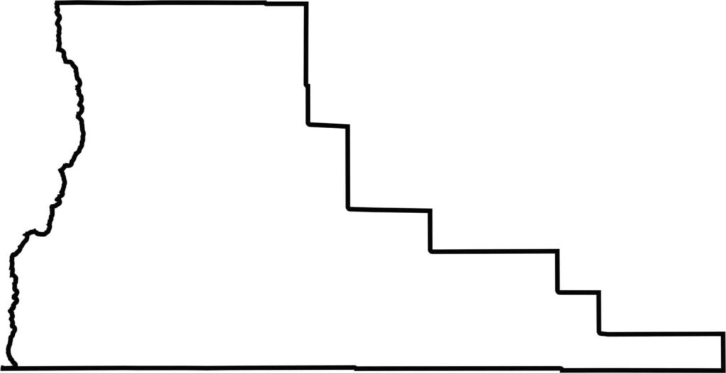
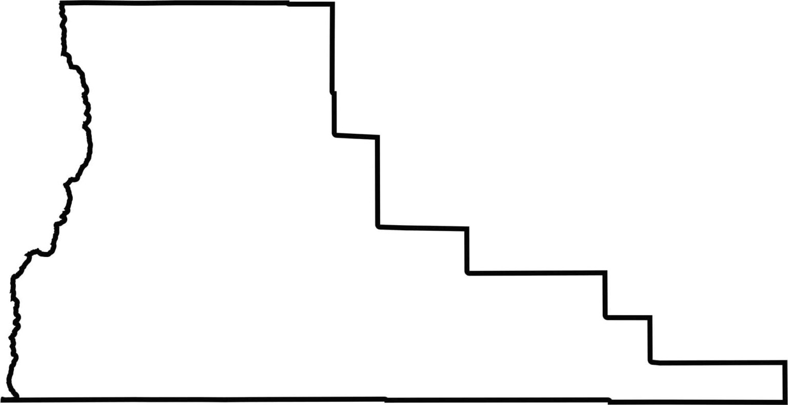
Deschutes County has an unusual outline that reminds me of a boot with a very flat sole. It is narrow in the north and widens toward the south. It borders no other state, only neighboring Oregon counties.






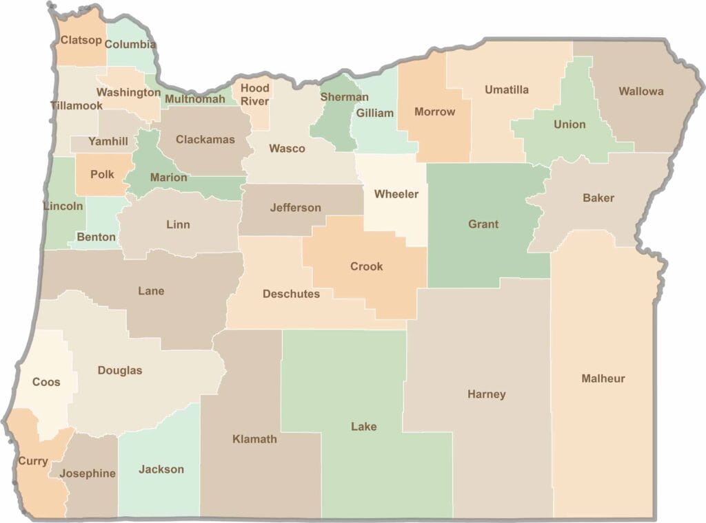
Oregon’s 36 counties cover everything from rugged coastlines and cascading waterfalls to the high desert. One day, you’re exploring a foggy fishing town; the next, you’re standing face-to-face with towering volcanic peaks.