
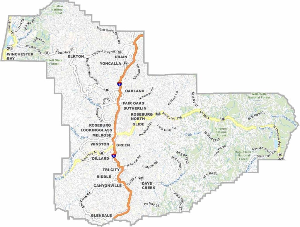
Douglas County is a stretch of the Beaver State where the Cascades and the Coast Range meet. The landscape here is striking, running inland from the Pacific coast as a patchwork of forests, valleys, and rivers.
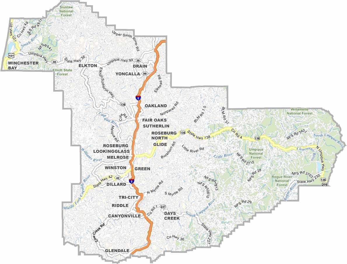
Roseburg is the largest town and the county seat, and it has weathered its share of ups and downs. Timber once ruled the local economy, but wine has taken a bigger role. The Umpqua Valley is emerging as a hotspot for Pinot Noir.
Crater Lake lies a short distance to the east. Wildlife is abundant, with elk, deer, and the occasional bear. Locals are rugged and warmhearted in equal measure. It's a place where you can lose yourself in nature and find yourself along the way.
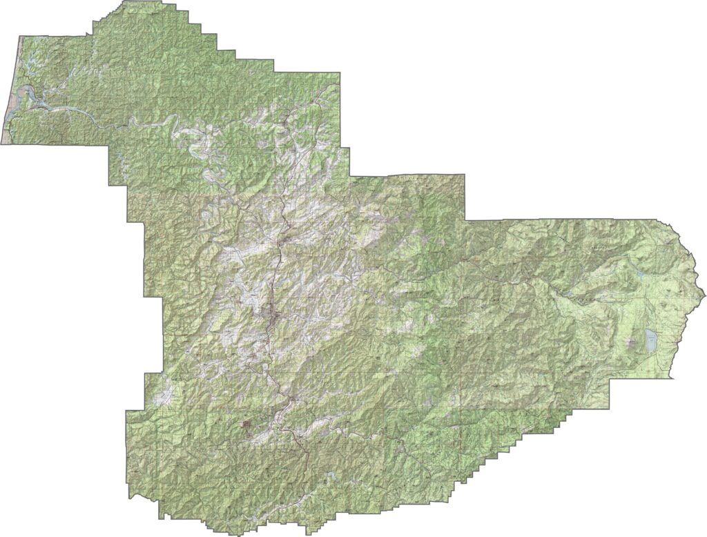
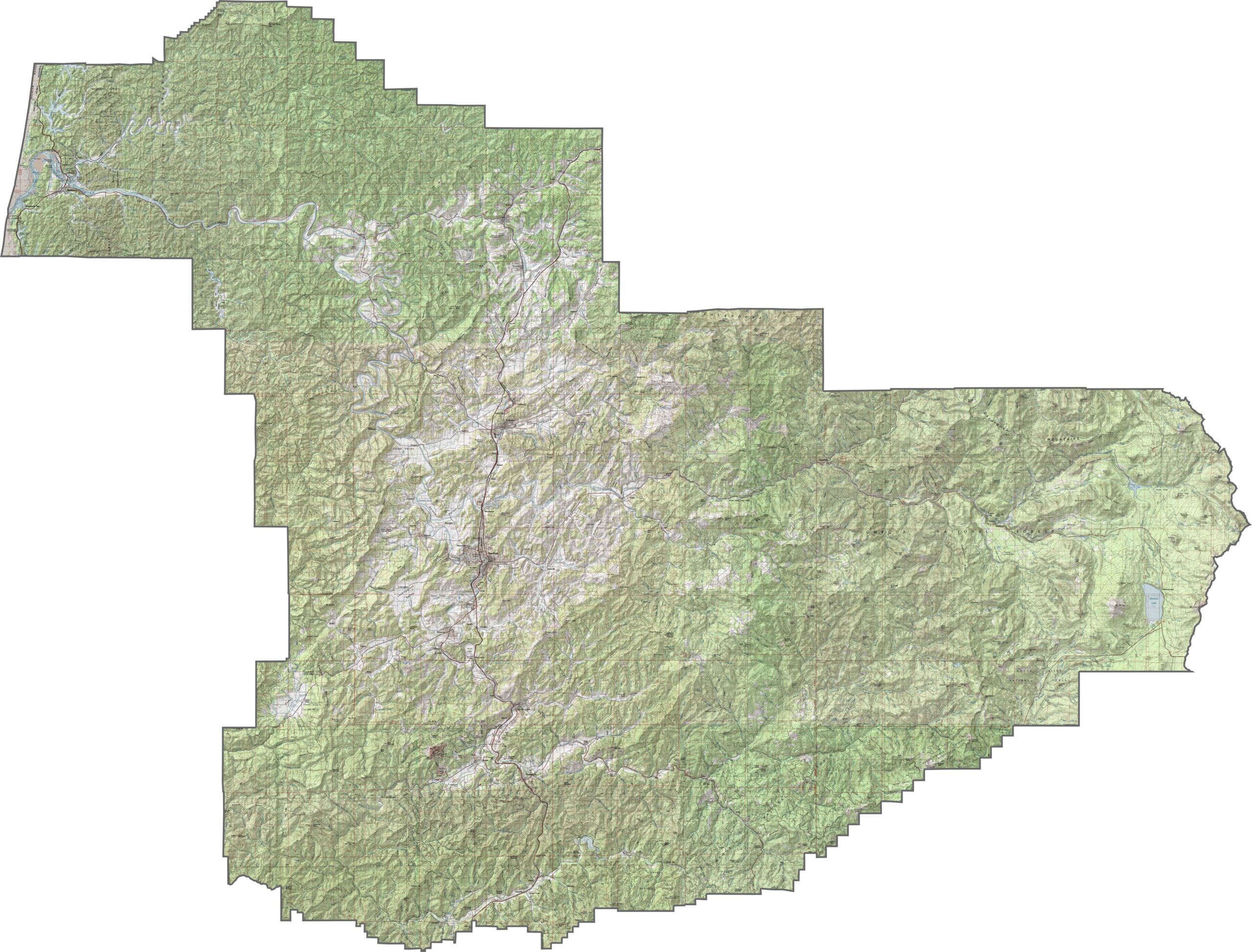
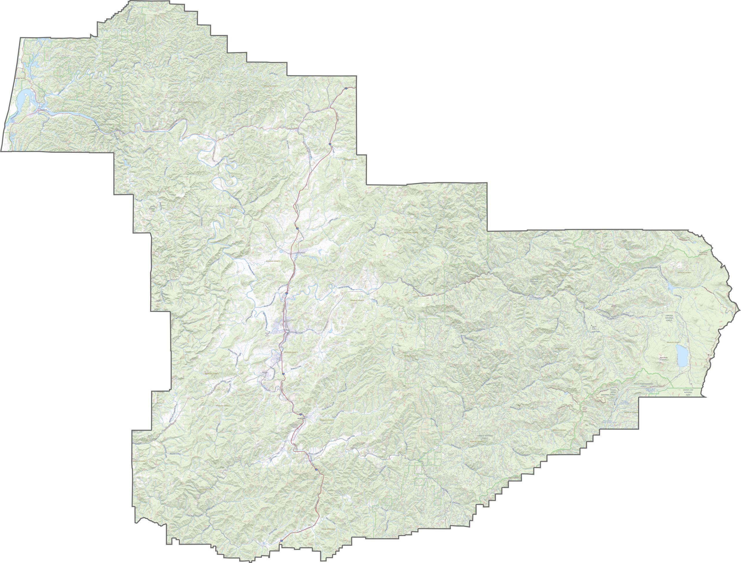
The terrain is wonderfully varied: the Coast Range in the west, Cascade foothills in the east, and forested mountains filling the space between. The Umpqua River winds through much of the county. Changes in elevation are frequent, and the views are scenic.
Interstate 5 runs north to south through the heart of Douglas County. Many roads branch off from it into valleys, forests, and logging areas. Use our zoom tool to follow each route across this sprawling county.
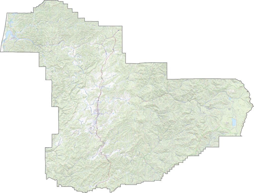
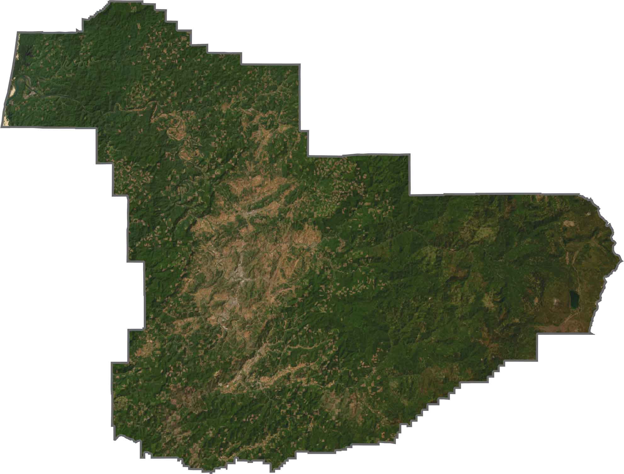
Dense forest dominates the view, with patches of timberland and small towns nestled between ridges. Farming valleys appear in the central area before woodland takes over again. The winding course of the river is easy to follow from above.
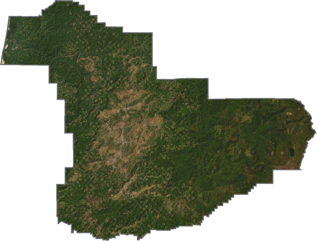
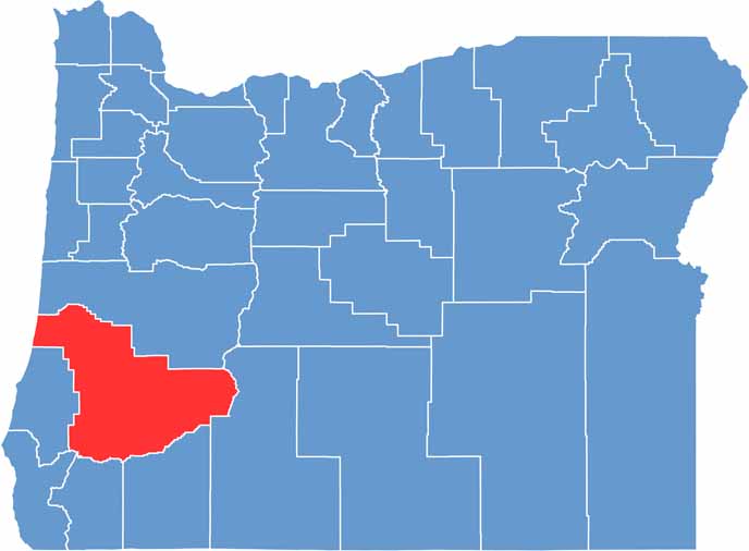
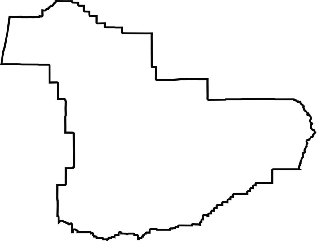
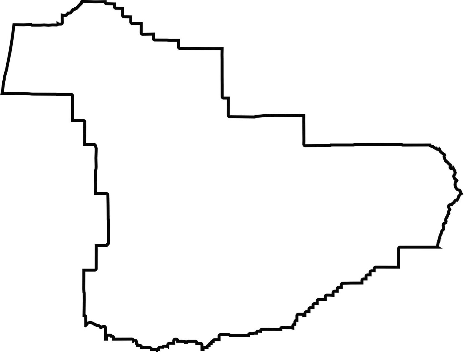
Douglas County extends from the coast to the crest of the mountains. Its outline is wide and irregular, and it reaches the Pacific Ocean. The western edge follows part of the coastline, while the remaining boundaries trace twisting hills and watershed lines. It borders no other state, only many neighboring Oregon counties.






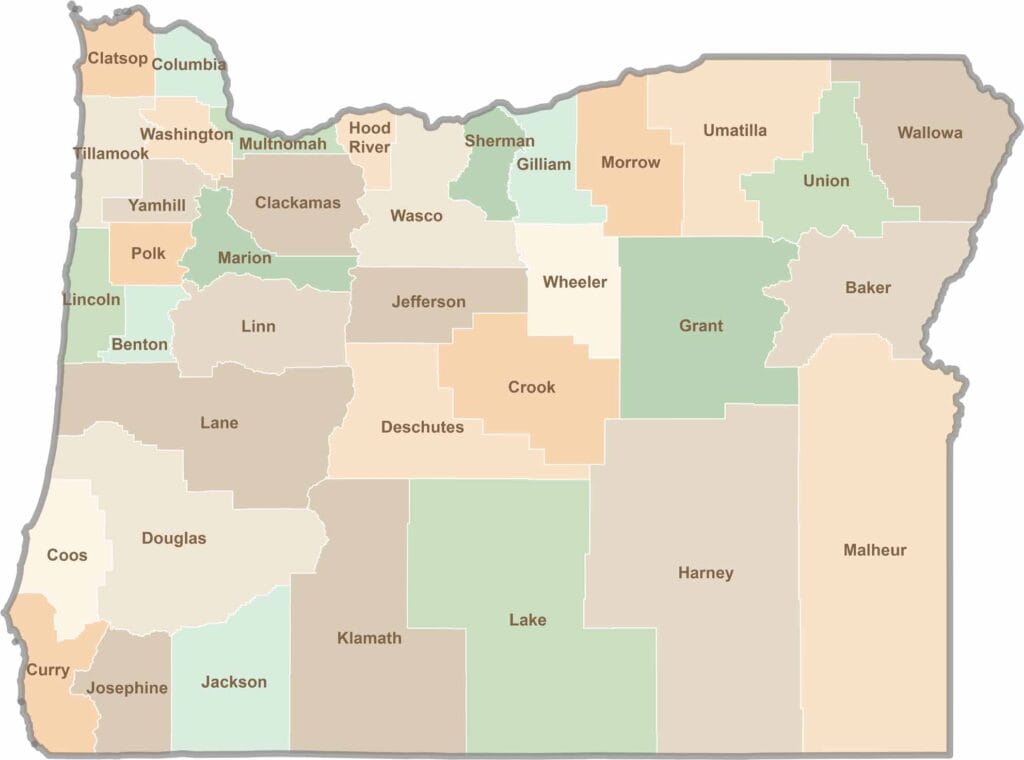
Oregon’s 36 counties cover everything from rugged coastlines and cascading waterfalls to the high desert. One day, you’re exploring a foggy fishing town; the next, you’re standing face-to-face with towering volcanic peaks.