
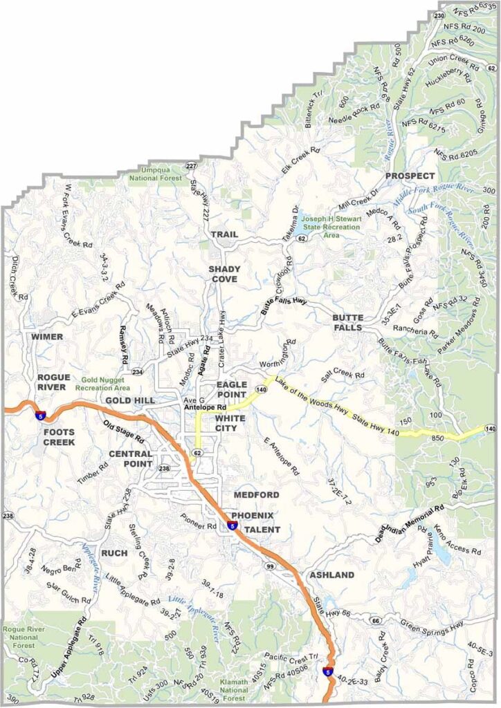
Jackson County is where southern Oregon really shines. The Rogue Valley is its heart, a fertile basin ringed by mountains. Medford and Ashland anchor opposite ends of the valley, and it's mostly small communities here.
Vineyards line the hillsides, and pears are big business here, some of the best in the world. Theater lovers know Ashland for its world-class Shakespeare festival.
Outdoor recreation? Take your pick. Crater Lake National Park is just to the northeast, and the Rogue River offers world-class rafting and fishing. The climate is mild and the scenery is stunning, so it's no wonder so many people are moving here.
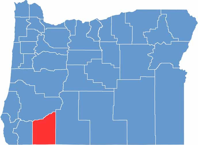
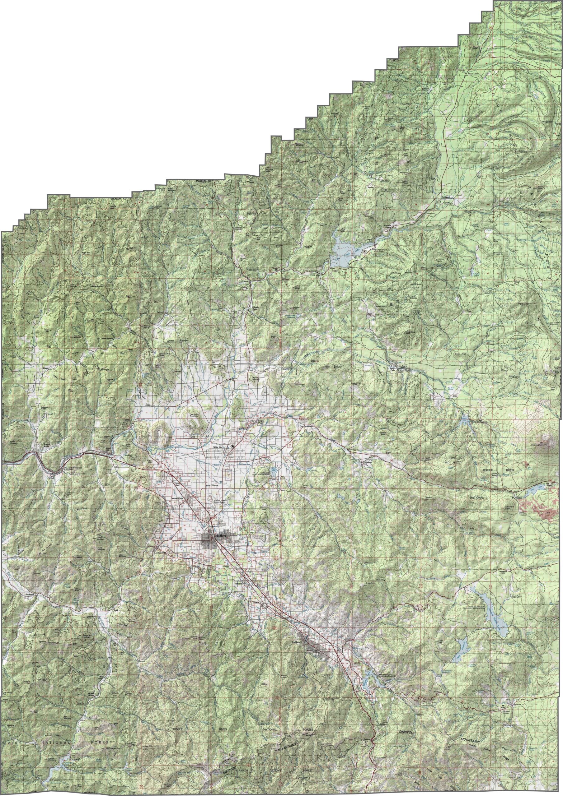
Jackson County is a mix of mountains, valleys, and high ridges. The Rogue Valley forms the low center, surrounded by steep uplands. The Siskiyou Mountains mark the southern end, adding dramatic elevation changes across the county.
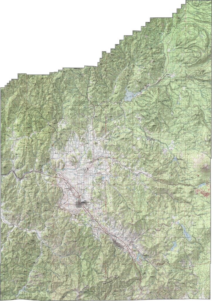
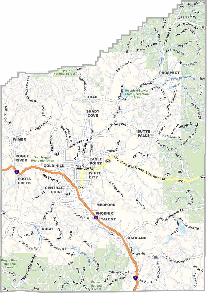
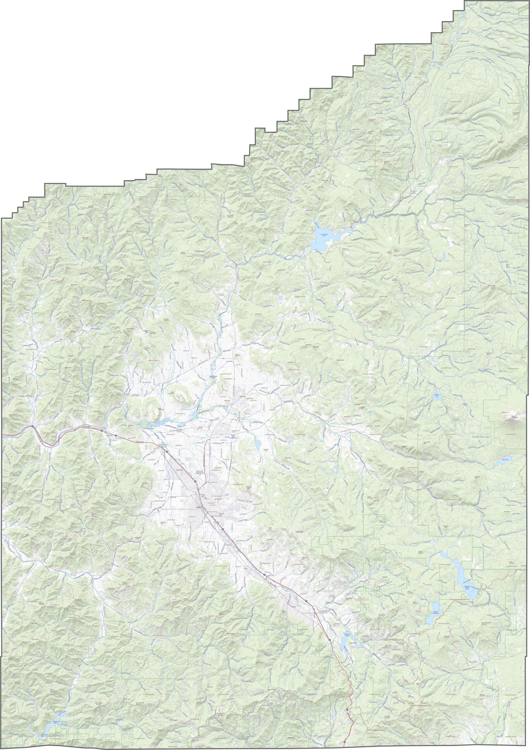
This county's highway system is compact but efficient. Roads connect all the major towns and cut through forested foothills. Although traffic picks up near the center, quieter routes fan out into rural valleys. Our zoom tool shows every detail, from city streets to rural roads.
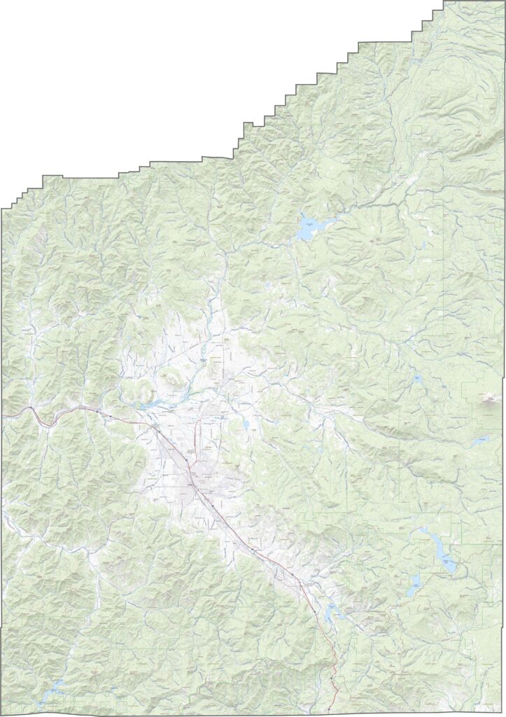
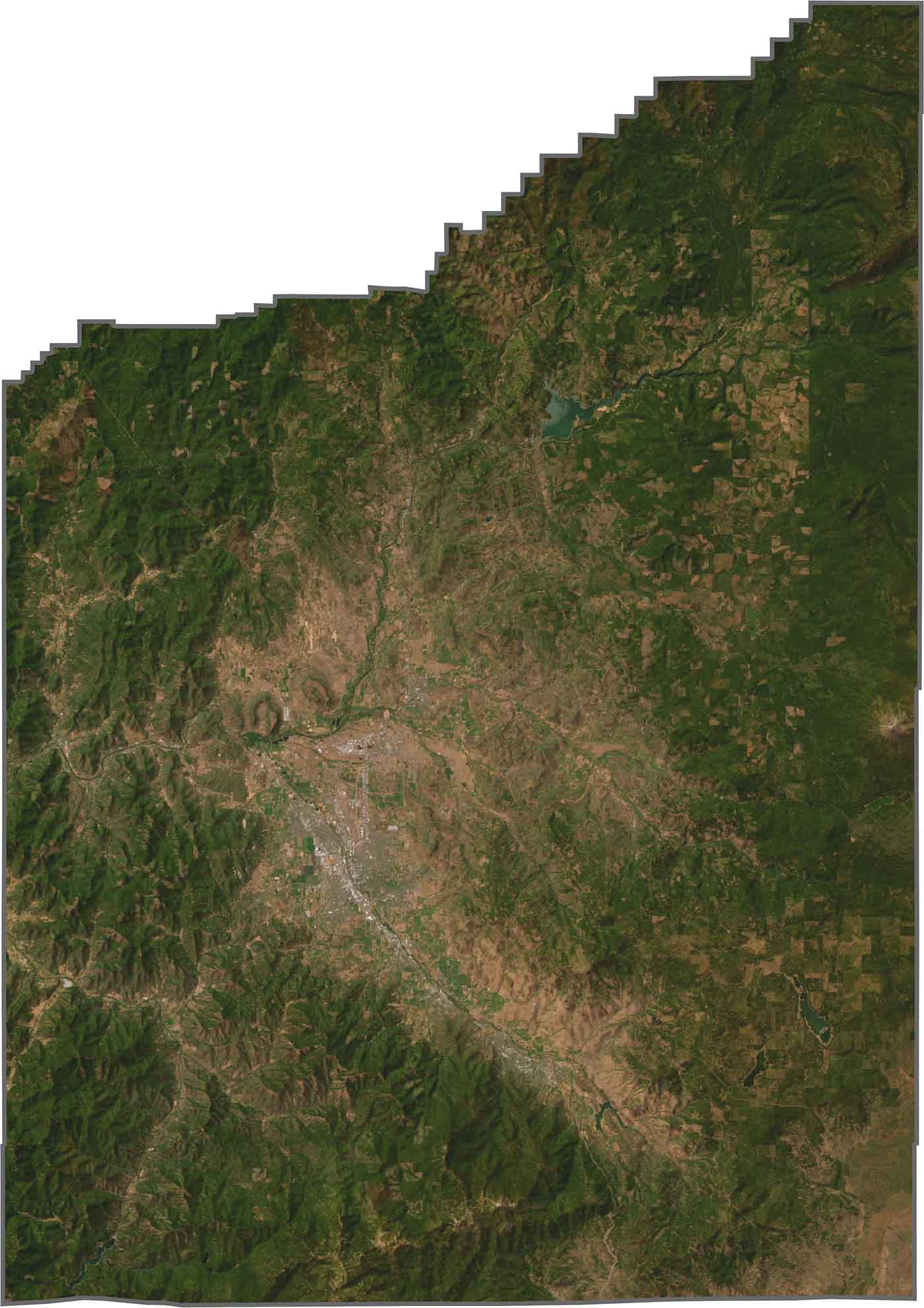
In our satellite map, you'll notice green valleys, patchy forests, and urban development in the middle. Outside the city zones, the land turns rugged fast. Farmland stands out in the flatter parts, while darker hills and forests creep in from all sides.
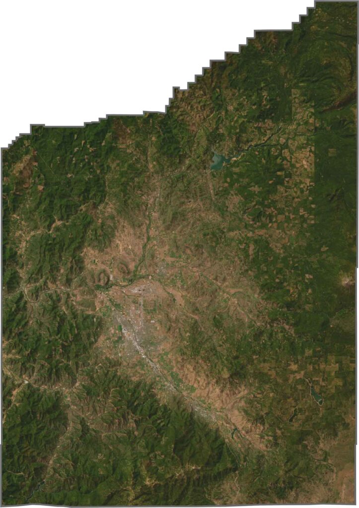
Jackson County has a broad shape with uneven edges. It doesn't border any rivers, but its southern edge touches California. Most borders are straight except for its northernmost border.








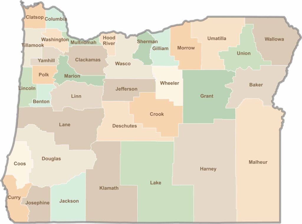
Oregon’s 36 counties cover everything from rugged coastlines and cascading waterfalls to the high desert. One day, you’re exploring a foggy fishing town; the next, you’re standing face-to-face with towering volcanic peaks.