
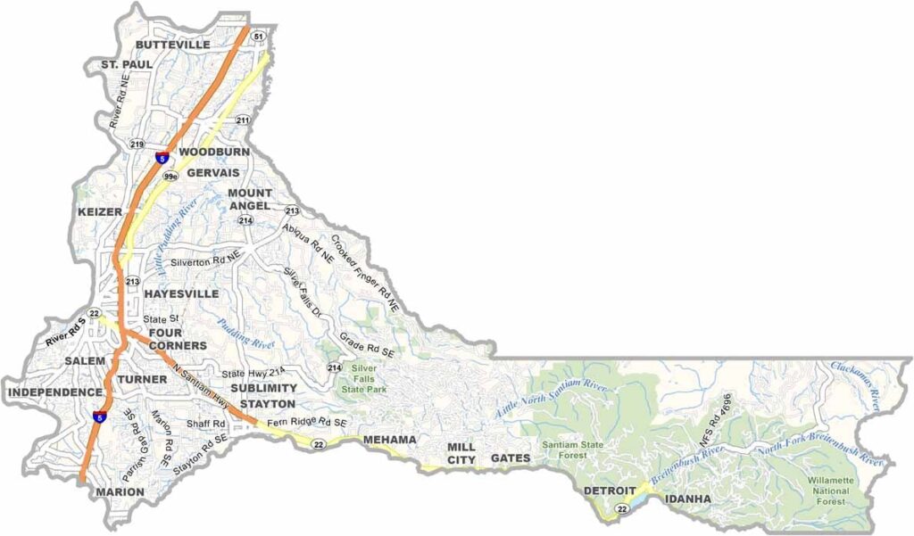
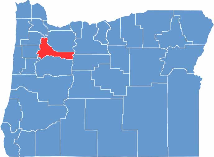
Marion County is in the heart of Oregon's Willamette Valley. You can find Salem, the state capital, here, and it keeps things interesting with its mix of politics and history. But drive a few miles in any direction and you're in farm country.
Cherry orchards, vineyards, and hop fields paint the landscape. The county's western edge climbs into the Cascades, which is where Silver Falls State Park showcases some of Oregon's most spectacular waterfalls.
Winters bring rain, but also cozy tasting rooms at local wineries. From food trucks to fine dining, Marion County's culinary scene is on point. It's a place where urban and rural Oregon come together, creating something uniquely awesome.
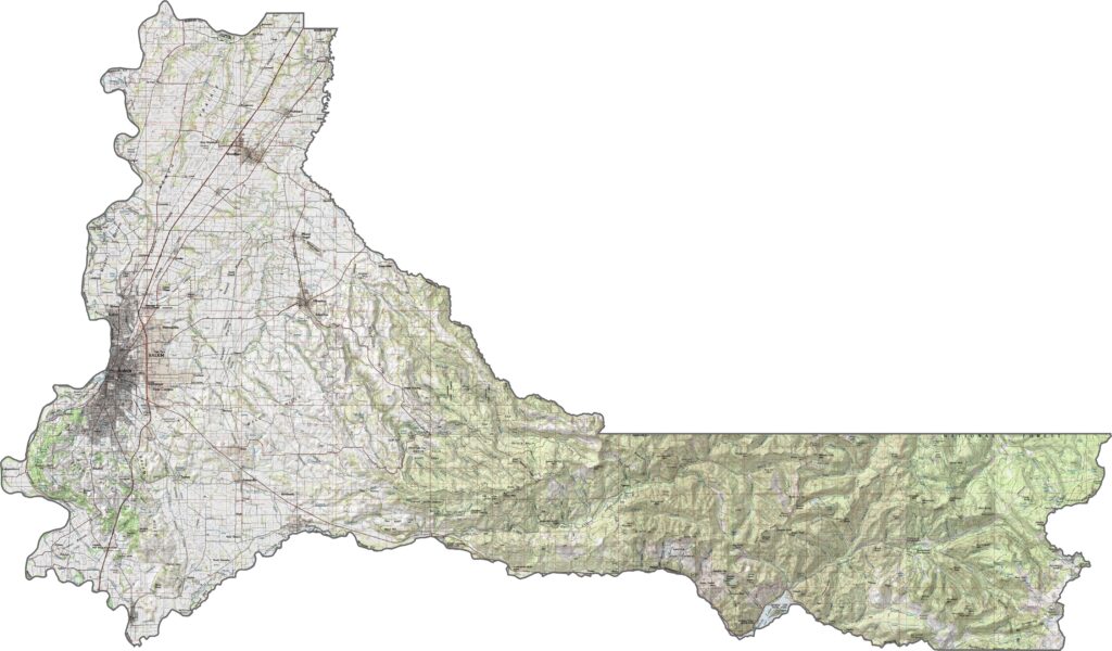
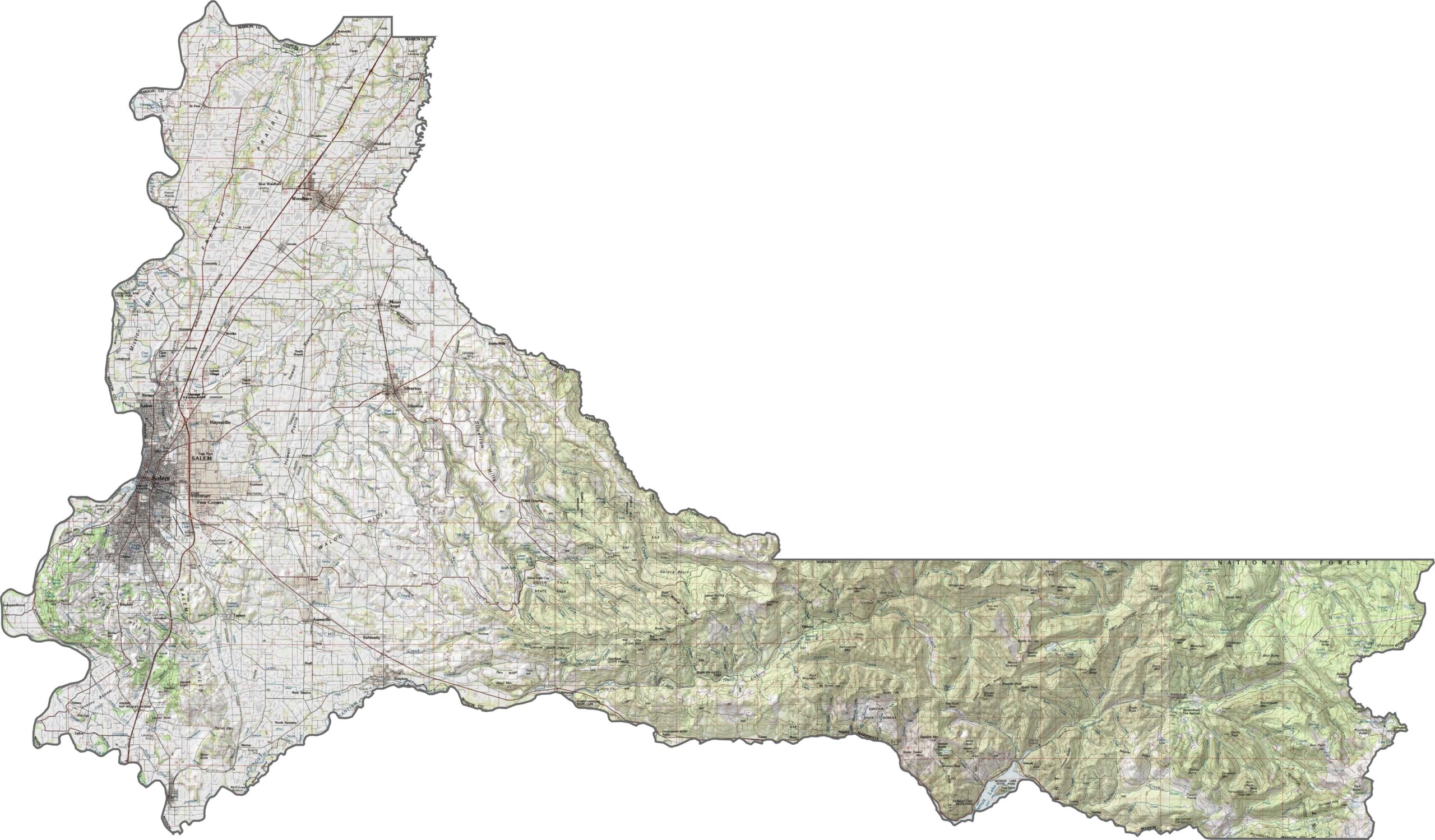
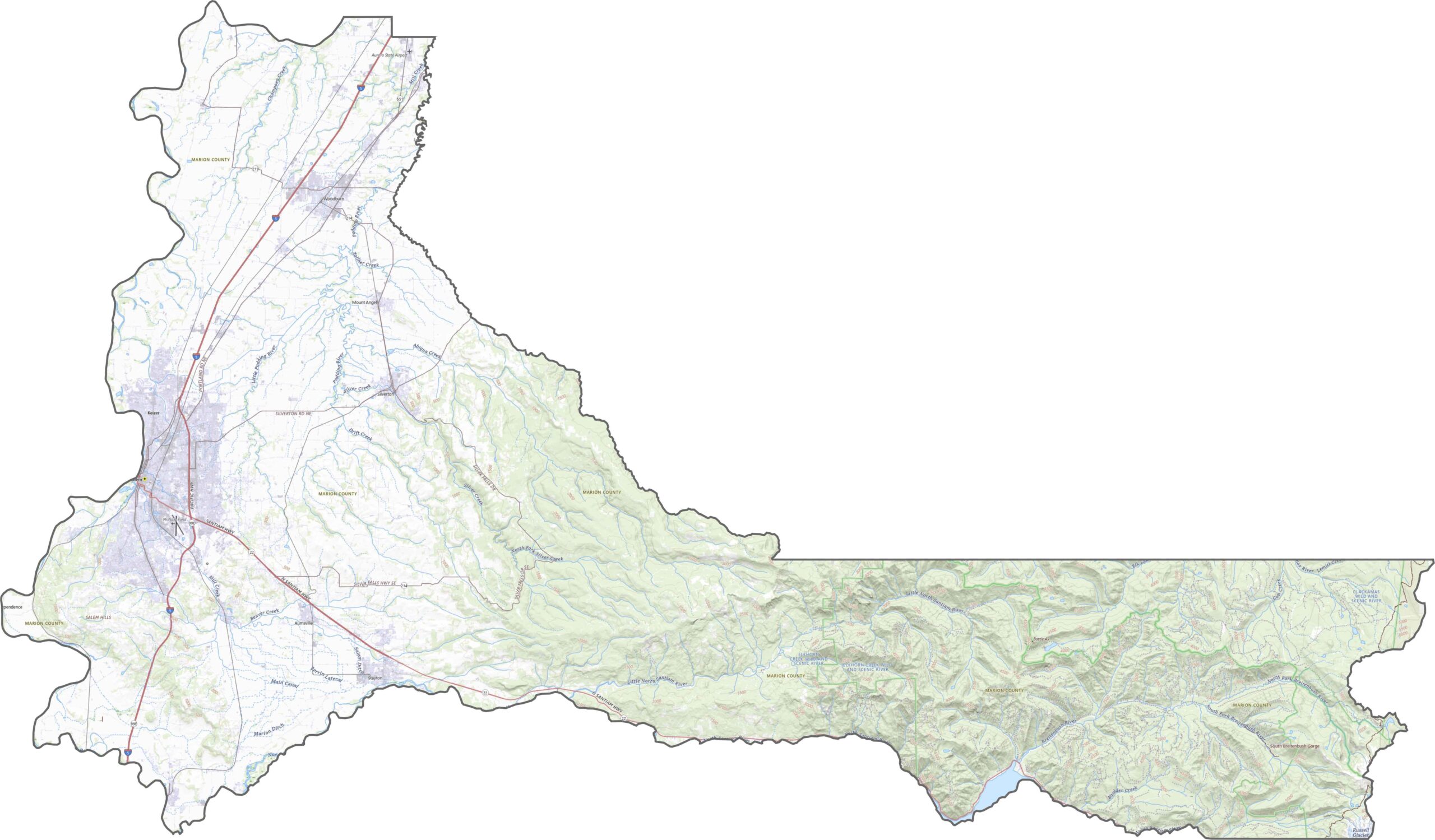
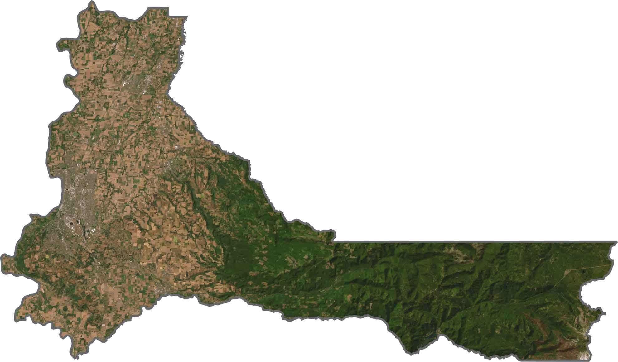
Most of Marion County lies flat in the Willamette Valley, but the terrain starts to climb near the Cascades. The eastern portion holds more elevation and forest. Overall, the county is split between level plains and sloped foothills.
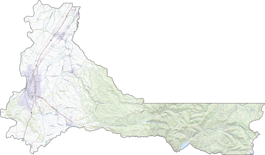
Marion County's roads are straightforward and busy. Several major routes cut through farmland and into the hills. Urban traffic picks up near the center, but rural stretches stay quiet. Though mountains edge the east side, most roads run flat across the valley.
You'll spot Salem right away. It's wide, developed, and surrounded by green fields. Our satellite map shows organized farmland across the valley. Further east, the land darkens with dense timber and steep hillsides.
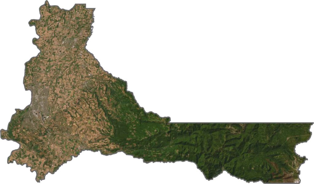
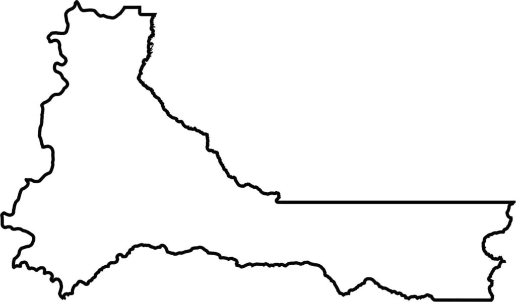
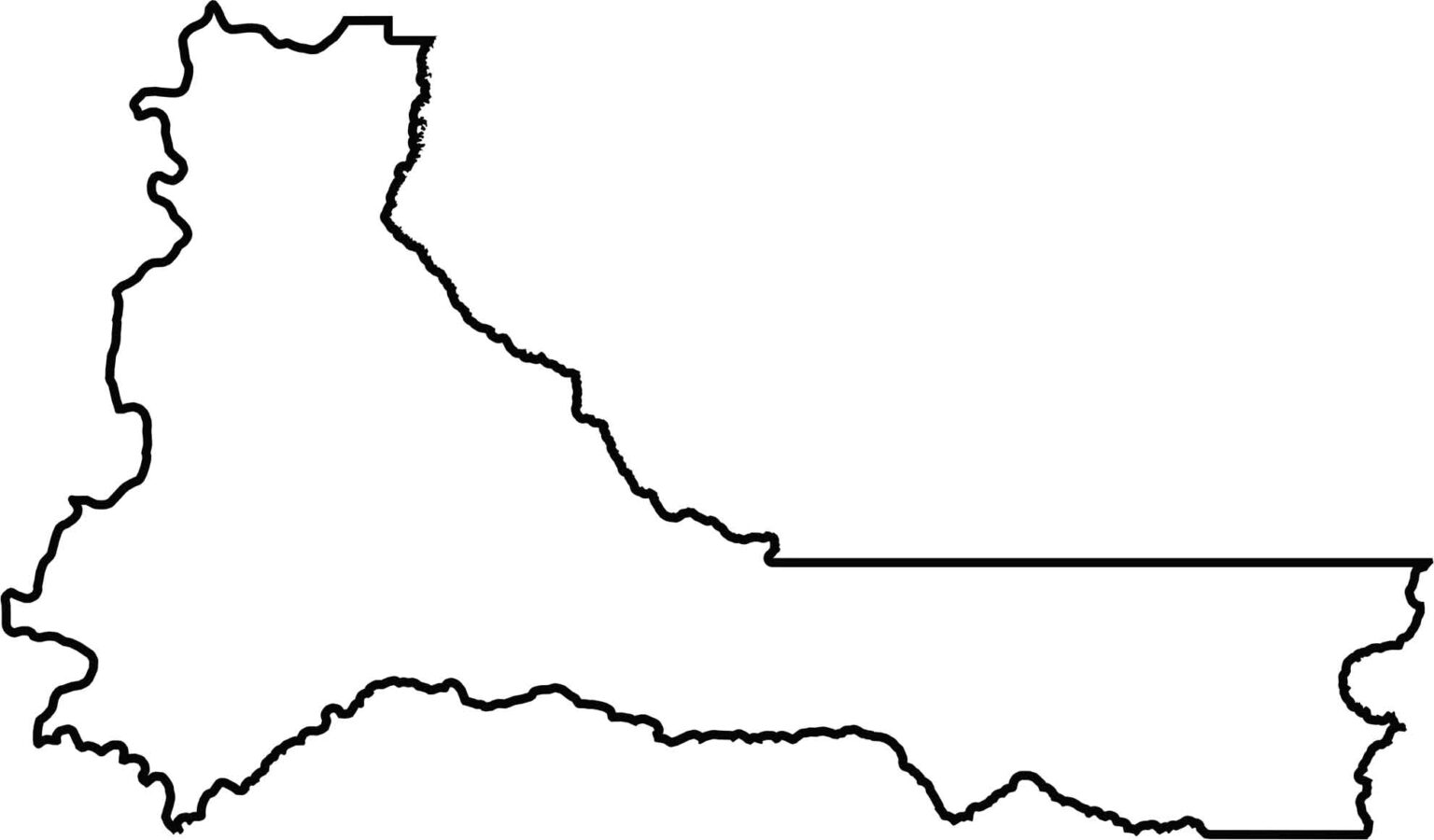
The shape is wide and slightly angled. The Willamette River forms the western boundary. The eastern border zigzags through hilly forest, while the western half stays smooth.







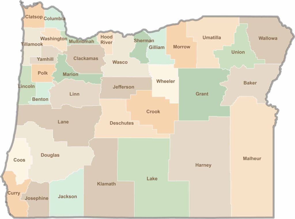
Oregon’s 36 counties cover everything from rugged coastlines and cascading waterfalls to the high desert. One day, you’re exploring a foggy fishing town; the next, you’re standing face-to-face with towering volcanic peaks.