
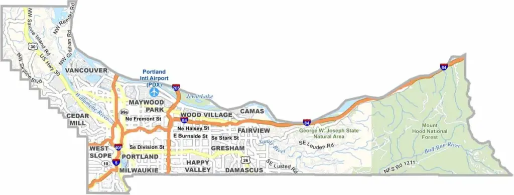
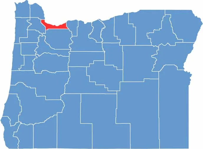
Portland's home turf. Multnomah County sits in northwest Oregon, straddling the Willamette River. It's Oregon's most populous county, with over 800,000 residents, but it's the smallest county in the state by size.
The place is a mix of urban bustle and natural beauty. You've got the hipster havens of Portland, complete with food carts and craft breweries. Then there's the Columbia River Gorge, with its waterfalls and hiking trails.
Mount Hood looms in the distance, snow-capped and majestic. The county is named after the Multnomah people, a Chinookan tribe. It's a political stronghold for progressives. Love it or hate it, Multnomah County has character.
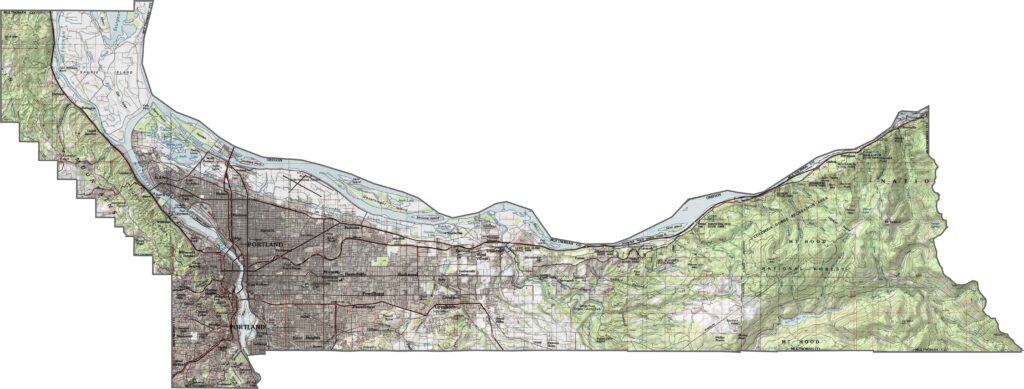
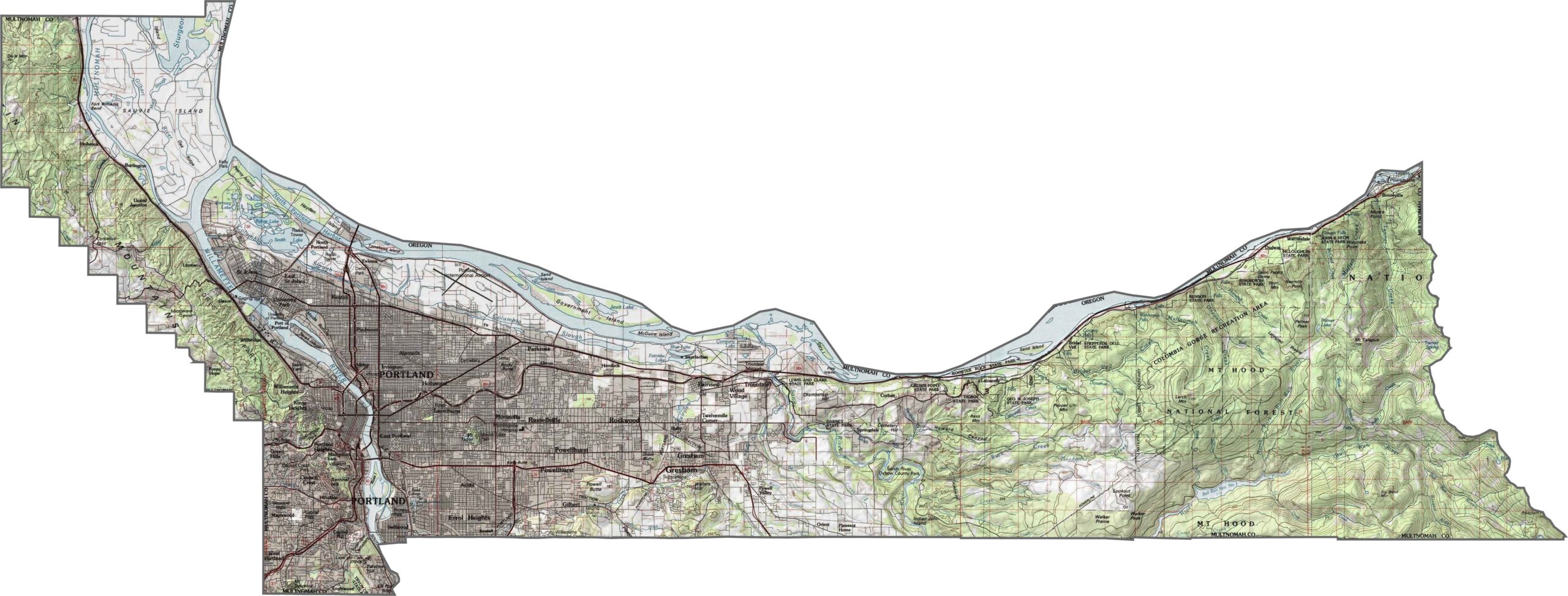
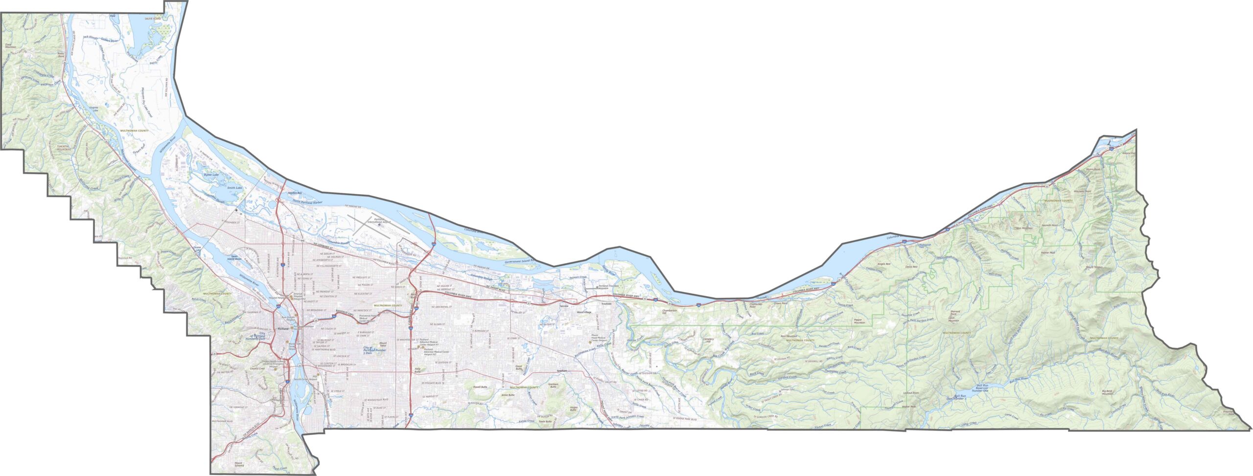
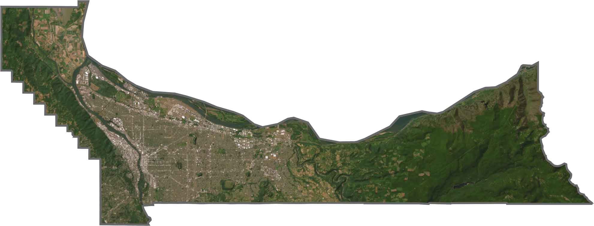
Multnomah County includes riverbanks, rolling hills, and even waterfalls. The western part is mostly urban and low-lying, but head east, and the landscape rises toward cliffs and ridges. Our zoom tool below helps make sense of it all.
Roads here are dense and urban. Major routes crisscross through the city and stretch toward the Columbia River. But the system isn't only urban. Though traffic can stack up near the city, the layout is fairly efficient.
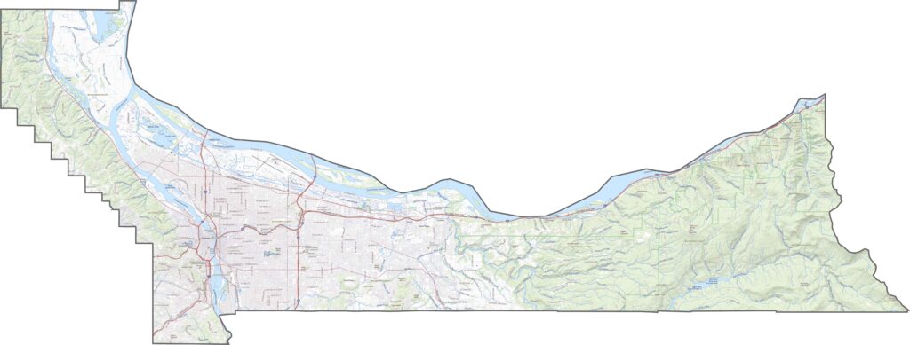
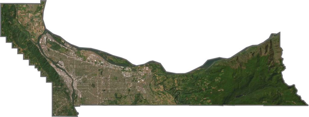
Portland dominates our satellite map with its buildings, bridges, and street grids. Along the rivers, industrial zones stand out. To the east, green forest takes over, especially near the Gorge. Mount Hood looms in the distance.
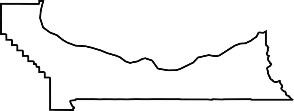
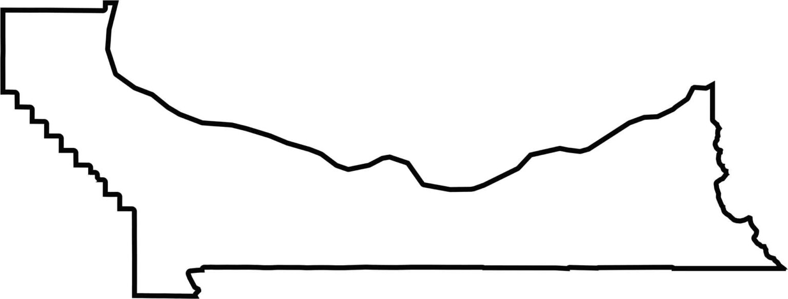
Multnomah County is long and narrow, hugging the Columbia River. The river forms its northern border and also marks the edge with Washington State. Its shape is uneven, widening slightly toward the east.







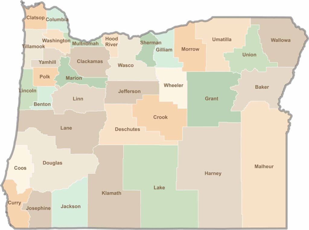
Oregon’s 36 counties cover everything from rugged coastlines and cascading waterfalls to the high desert. One day, you’re exploring a foggy fishing town; the next, you’re standing face-to-face with towering volcanic peaks.