
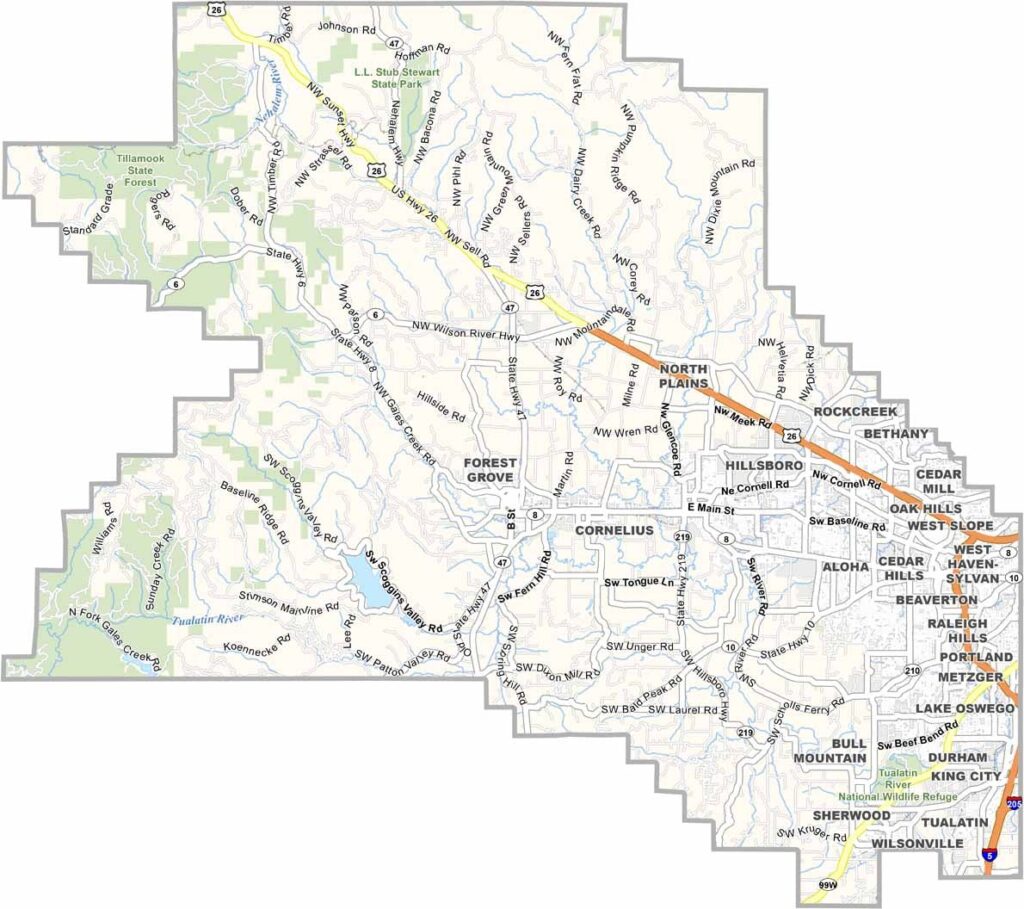
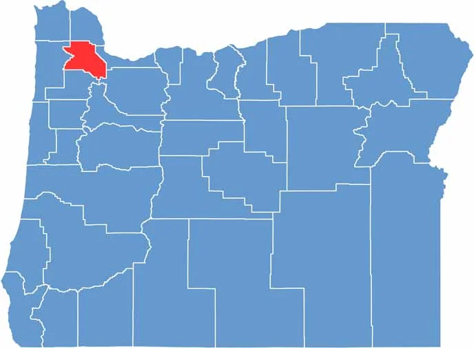
Washington County is right next door to Portland in northwest Oregon. Hop farms and high-tech: that's Washington County in a nutshell. Hillsboro hosts Intel's biggest site, and Beaverton is where Nike calls home.
But drive a few miles and you're in wine country. The Tillamook State Forest offers great hiking, and Tualatin Valley farmers grow everything from berries to hazelnuts.
It's one of Oregon's most diverse counties. The suburbs are booming, and traffic can be a nightmare. But the mix of urban and rural? Pretty cool.
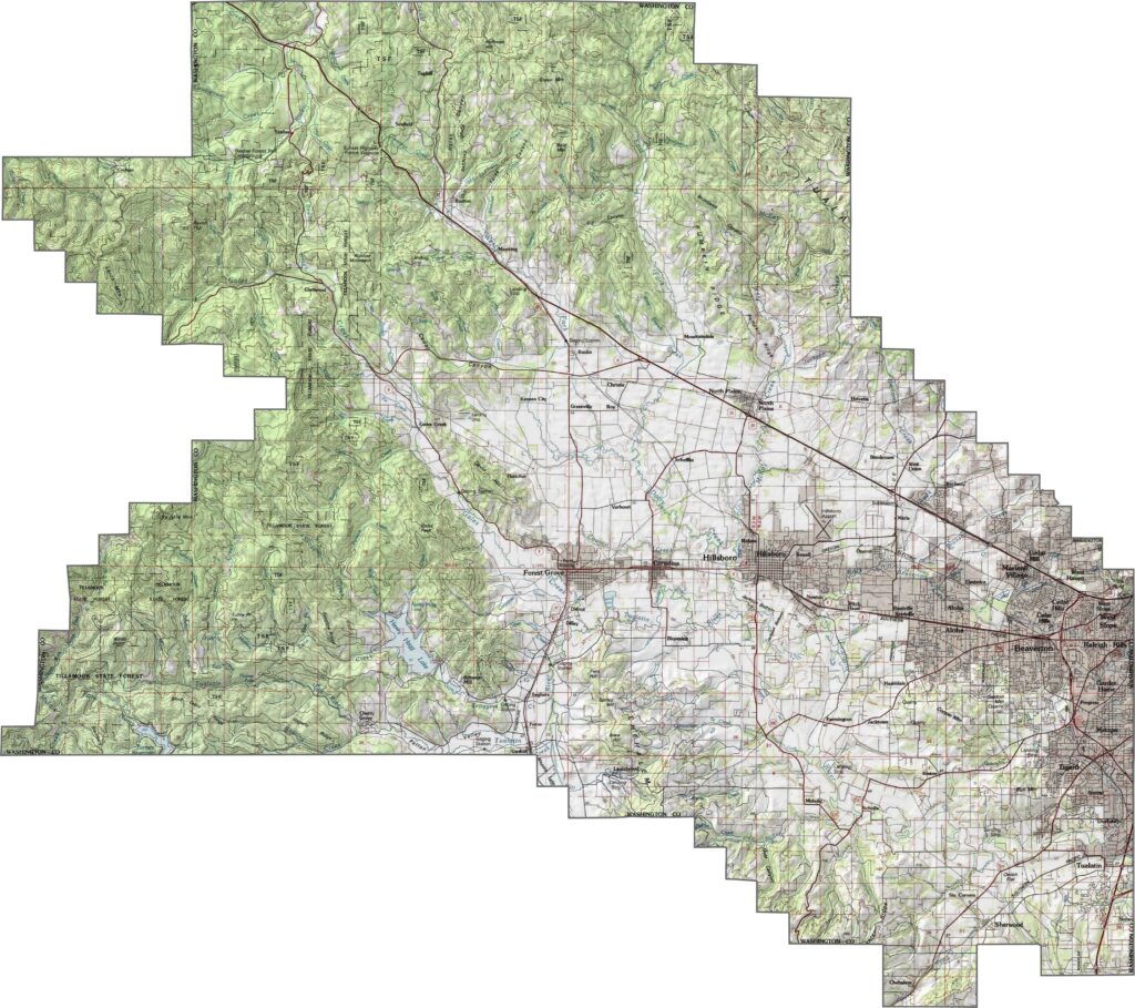
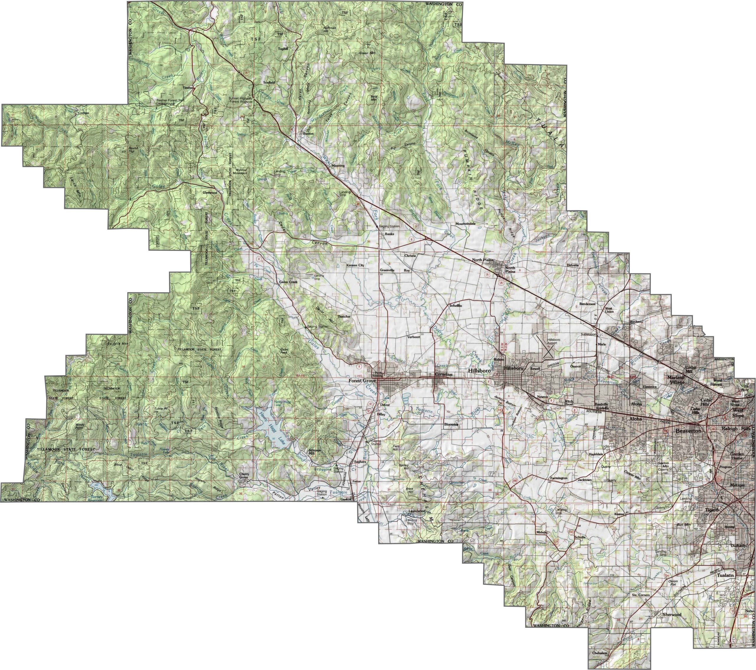
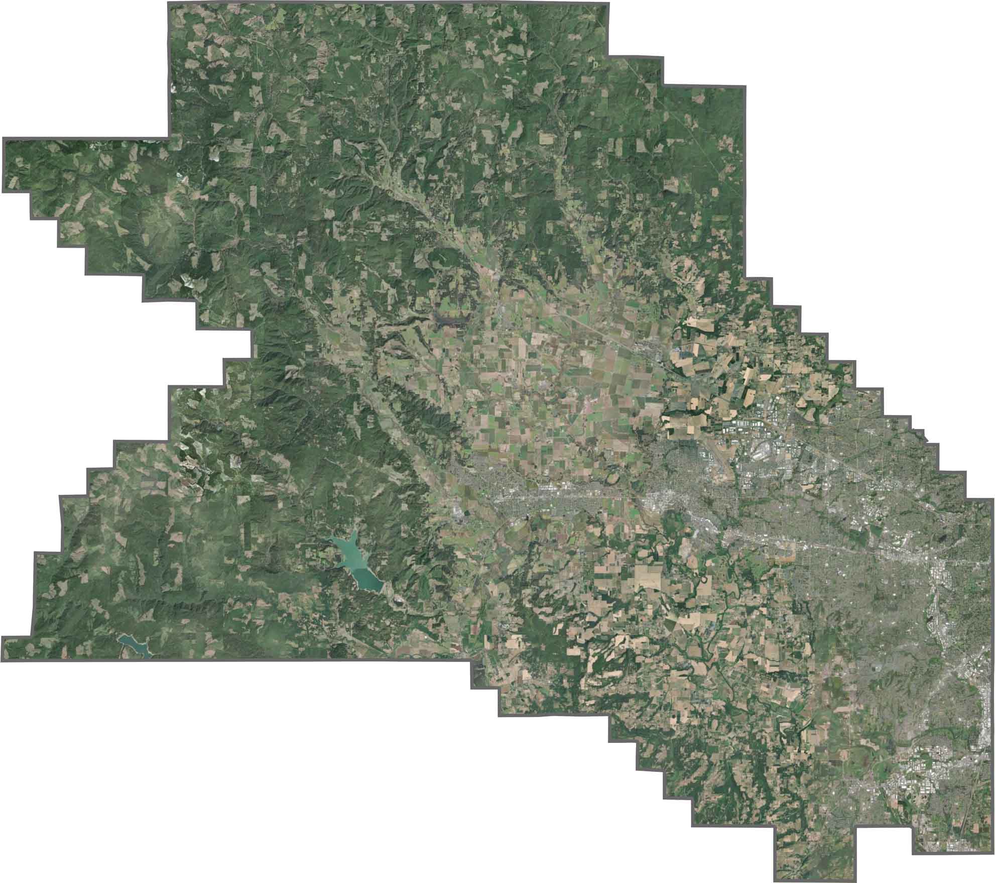
Most of Washington County is low and gently sloping. The Tualatin Valley spreads across the center, framed by rolling hills. To the west, elevation picks up slightly with wooded ridges, but nothing extreme. You can use our zoom tool to learn more about its topography.
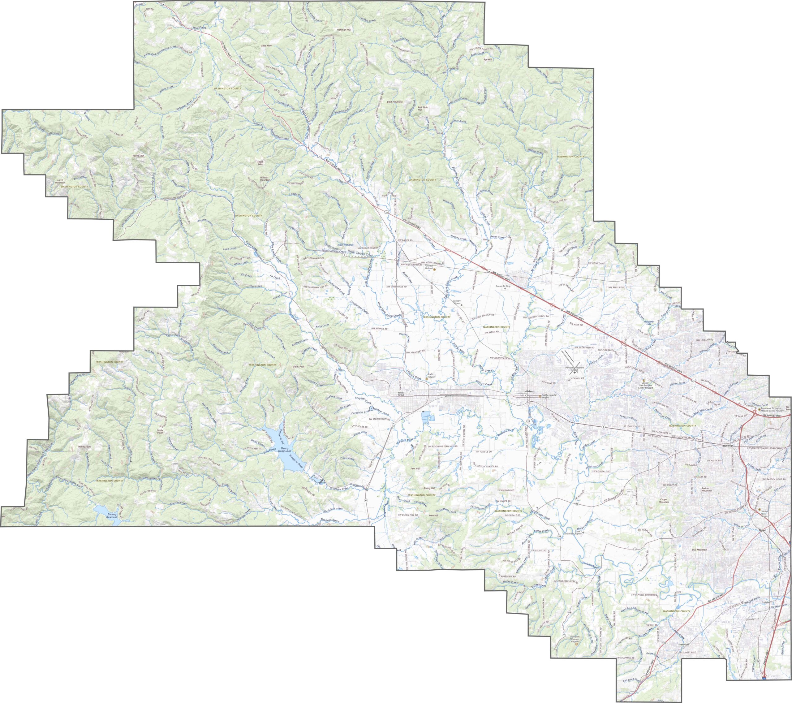
Washington County has a dense network of roads. Suburban routes loop through cities, while main highways keep things moving between towns. Although traffic builds near the urban edge, rural roads still branch out to farmland and forest. The layout feels busy but well organized.
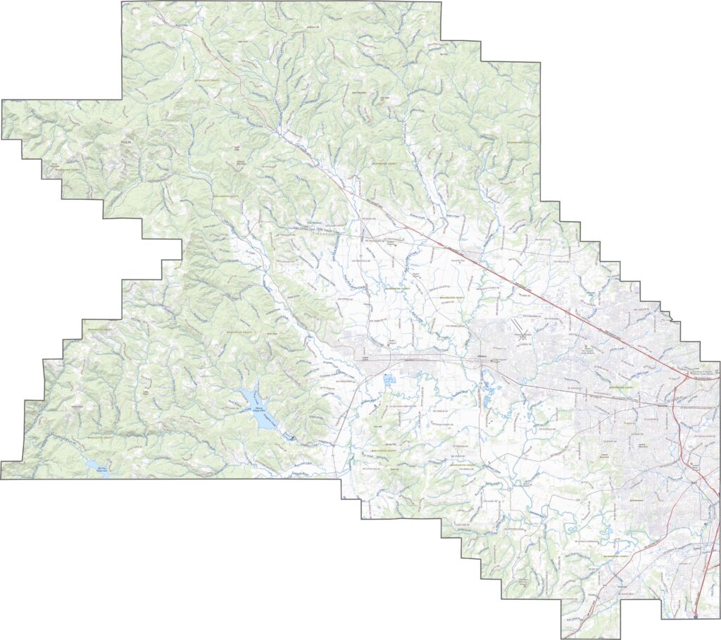
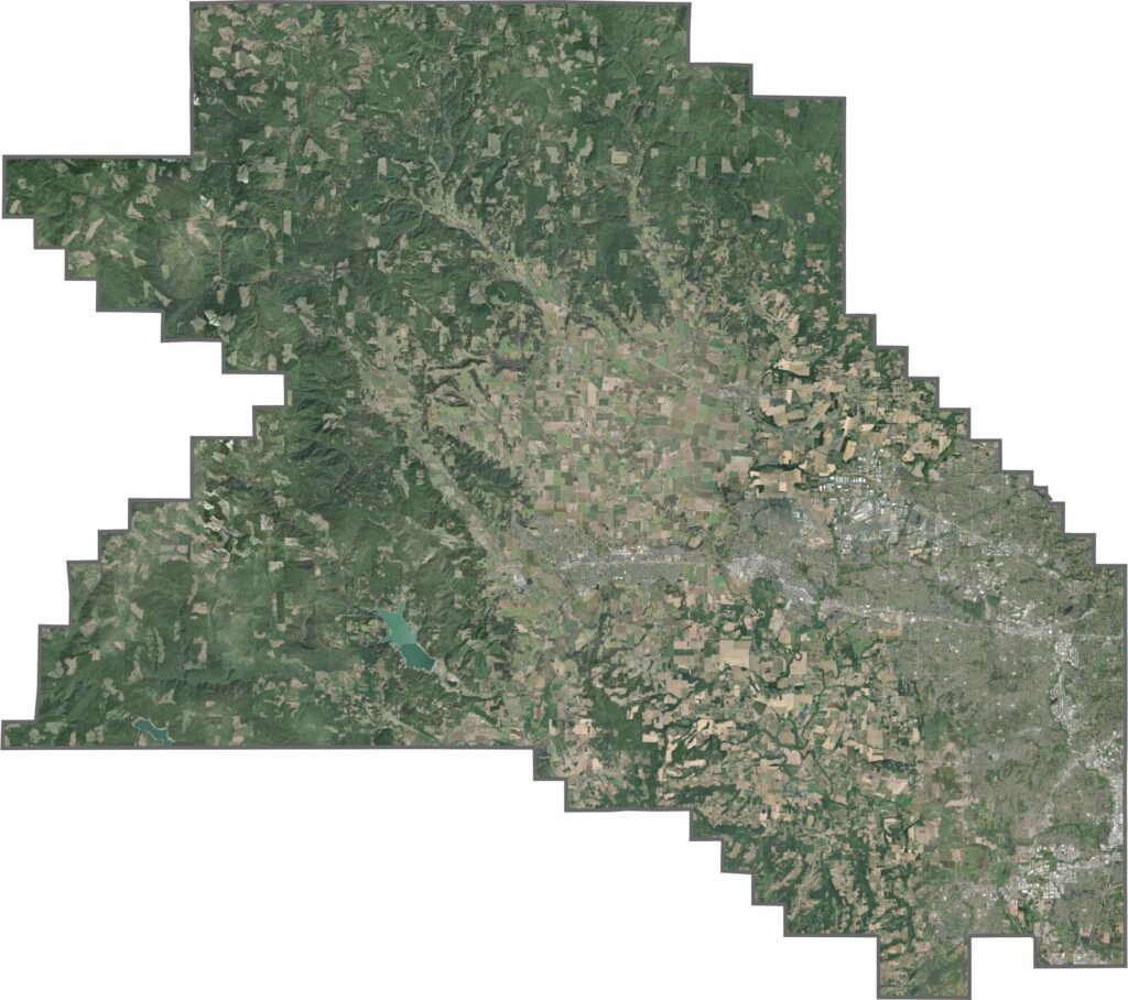
Urban growth is easy to spot. Neighborhoods, parking lots, and office parks dominate the east. But as you move west, green fields and forest patches return. The difference between dense suburbs and open farmland is obvious from above.
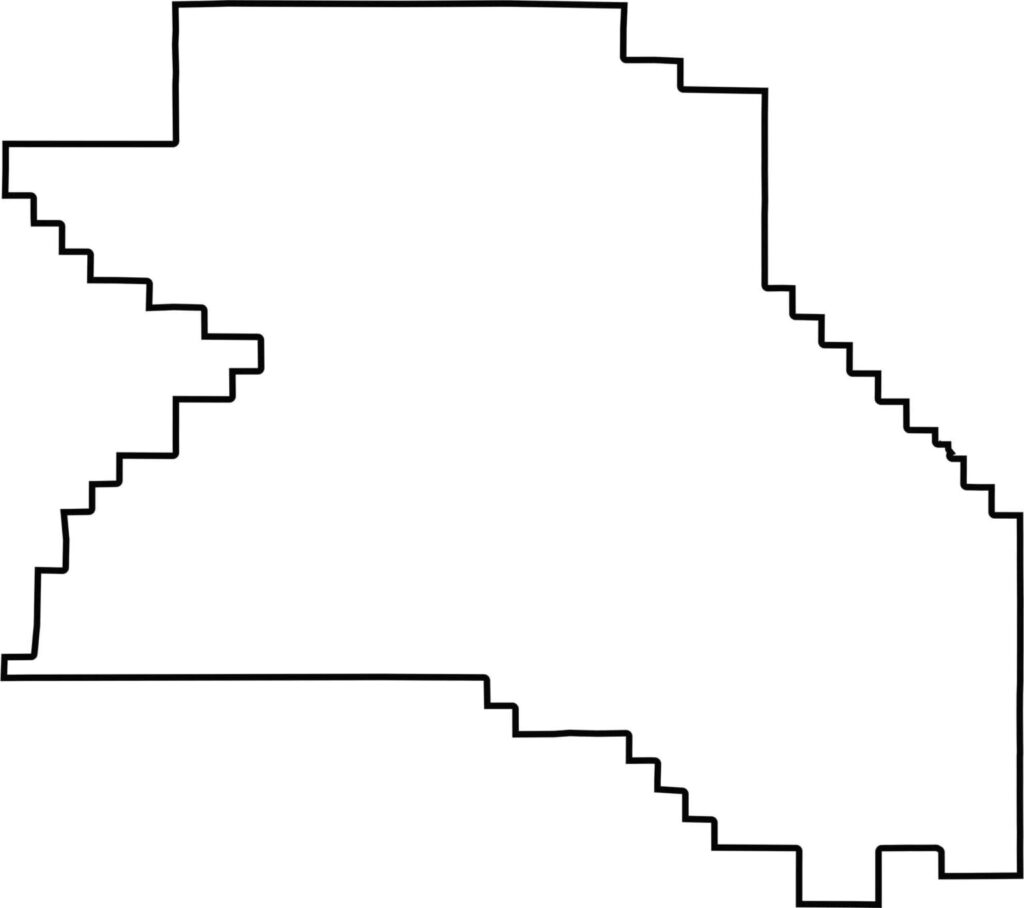
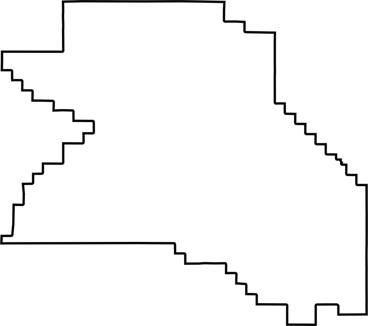
The shape is compact, but the edges are lumpy. Washington County borders the Portland metro on one side and rural counties on the others. There's no border with another state.







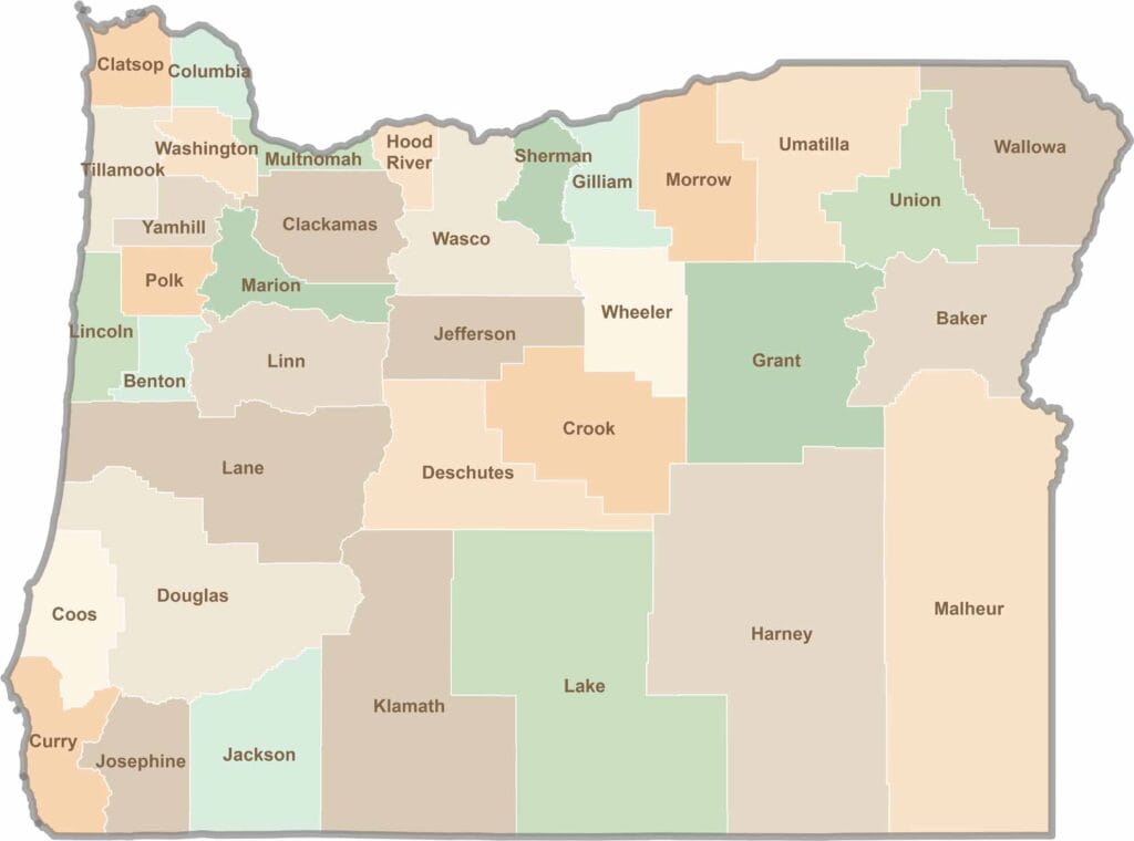
Oregon’s 36 counties cover everything from rugged coastlines and cascading waterfalls to the high desert. One day, you’re exploring a foggy fishing town; the next, you’re standing face-to-face with towering volcanic peaks.