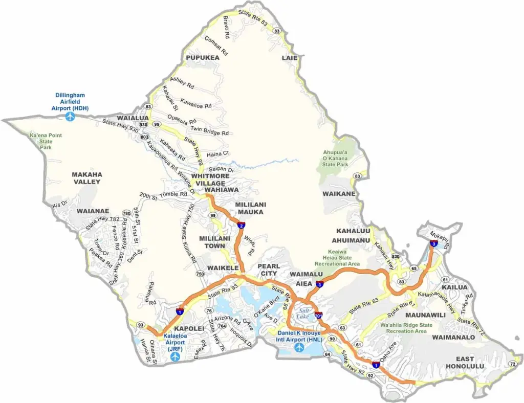
Honolulu County encompasses the entire island of Oahu, Hawaii’s most populous island and the center of the state’s economic and cultural activity. Known for its unique blend of urban development and tropical beauty, Oahu attracts millions of visitors each year. Waikiki Beach is one of the island’s most famous destinations, offering golden sands and stunning views of Diamond Head.
The city of Honolulu serves as Hawaii’s capital and largest city, featuring modern skyscrapers, shopping centers, and important historic landmarks such as Iolani Palace and Pearl Harbor. While traffic can be busy, the island continues to embrace its welcoming aloha spirit.
Beyond the city, Oahu offers diverse landscapes and experiences. The North Shore is renowned for its world-class surfing beaches, while central Oahu is home to pineapple fields and charming local communities. Visitors and residents alike enjoy traditional plate lunches, refreshing shave ice, and scenic hiking trails that lead through lush valleys to breathtaking viewpoints.
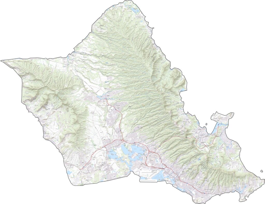
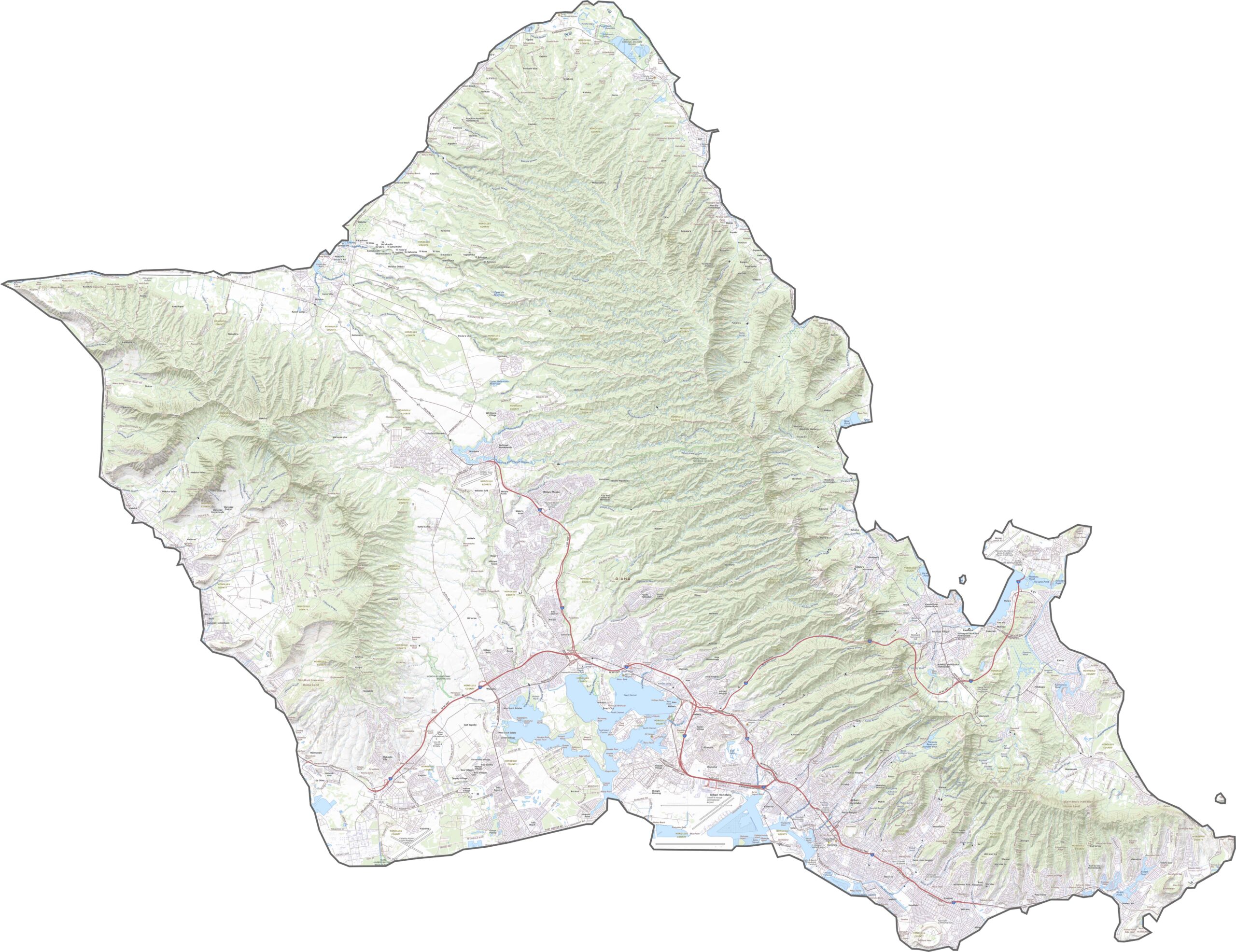
Our Honolulu County topographic map showcases the region’s striking mountain ranges alongside the vibrant city of Honolulu. From the iconic shores of Waikīkī Beach and the historic significance of Pearl Harbor to the energy of downtown, there’s plenty to explore. Yet just beyond the city, tranquil areas like Mānoa Valley provide a refreshing contrast with their lush landscapes and relaxed atmosphere.
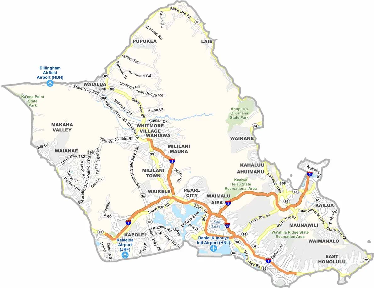
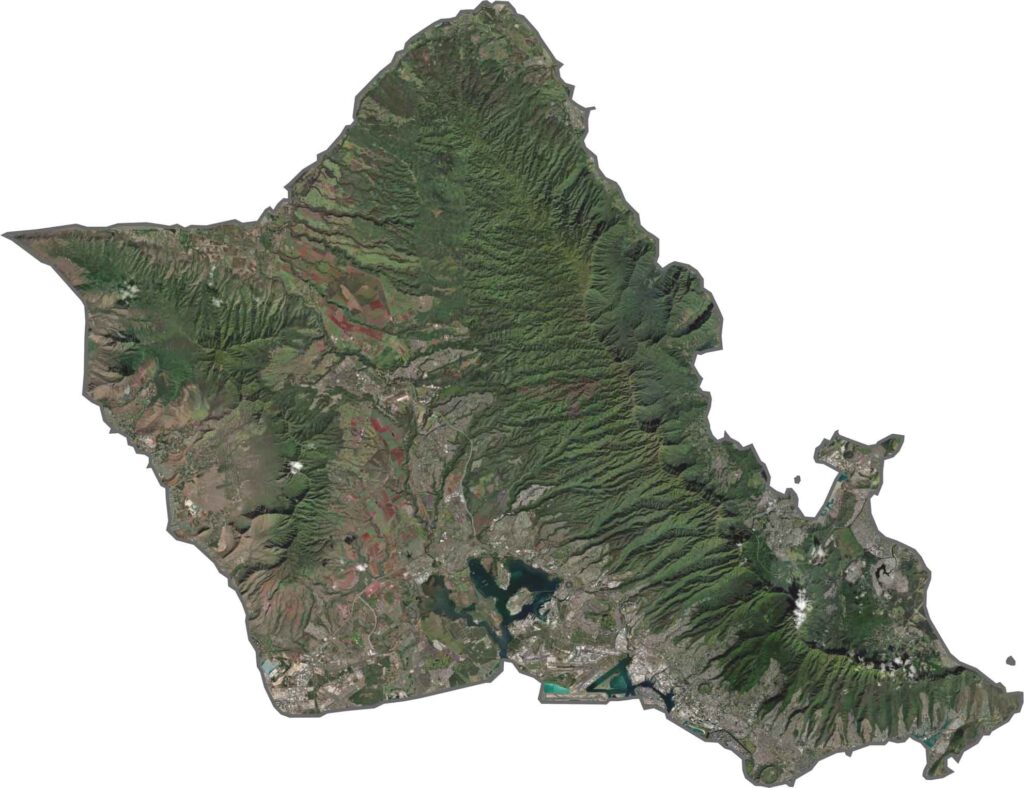
Our Honolulu satellite map reveals a striking blend of urban development and natural landscapes. Honolulu’s expansive cityscape stretches along the southern shoreline, while the island’s lush terrain surrounds it. Use our zoom tool to explore every detail of this beautiful island.
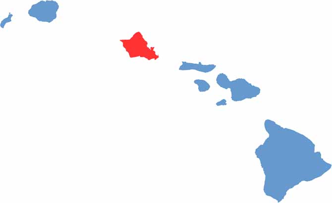
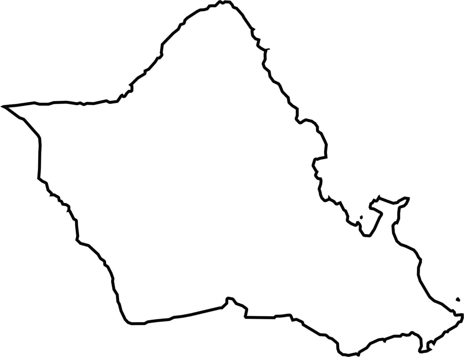
Oʻahu has a distinctive diamond-like shape, with a pointed northwestern tip and a gentler curve along its southern coast. Even on a blank map, the island is easy to identify thanks to its compact size and the irregular, zigzagging outline of its shoreline.