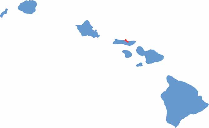
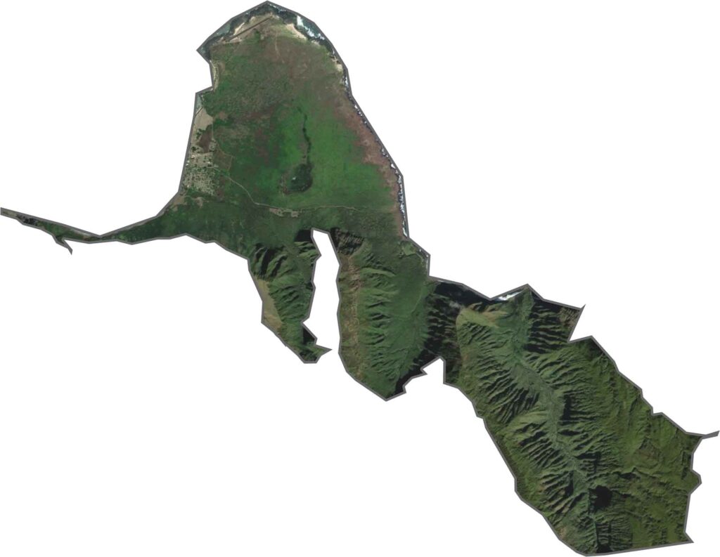
Kalawao County is the smallest county in Hawaii and one of the most unusual in the United States. Located on a remote peninsula along Molokaʻi’s northern coast, it is known for its dramatic sea cliffs, lush landscapes, and remarkable natural beauty.
Despite its scenic setting, Kalawao has a deeply significant history. The area once served as an isolated settlement for people diagnosed with Hansen’s disease (leprosy), who were forcibly relocated there during the late 19th and early 20th centuries. Today, only a small number of former patients remain, having chosen to continue living in the community.
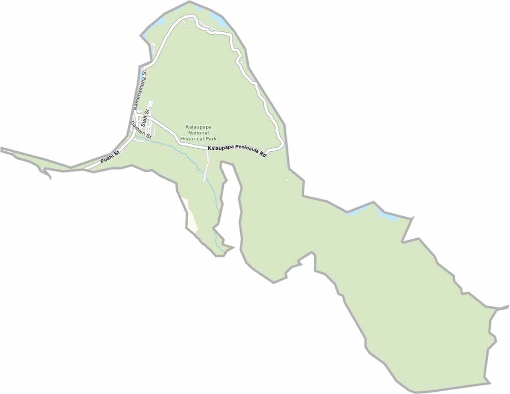
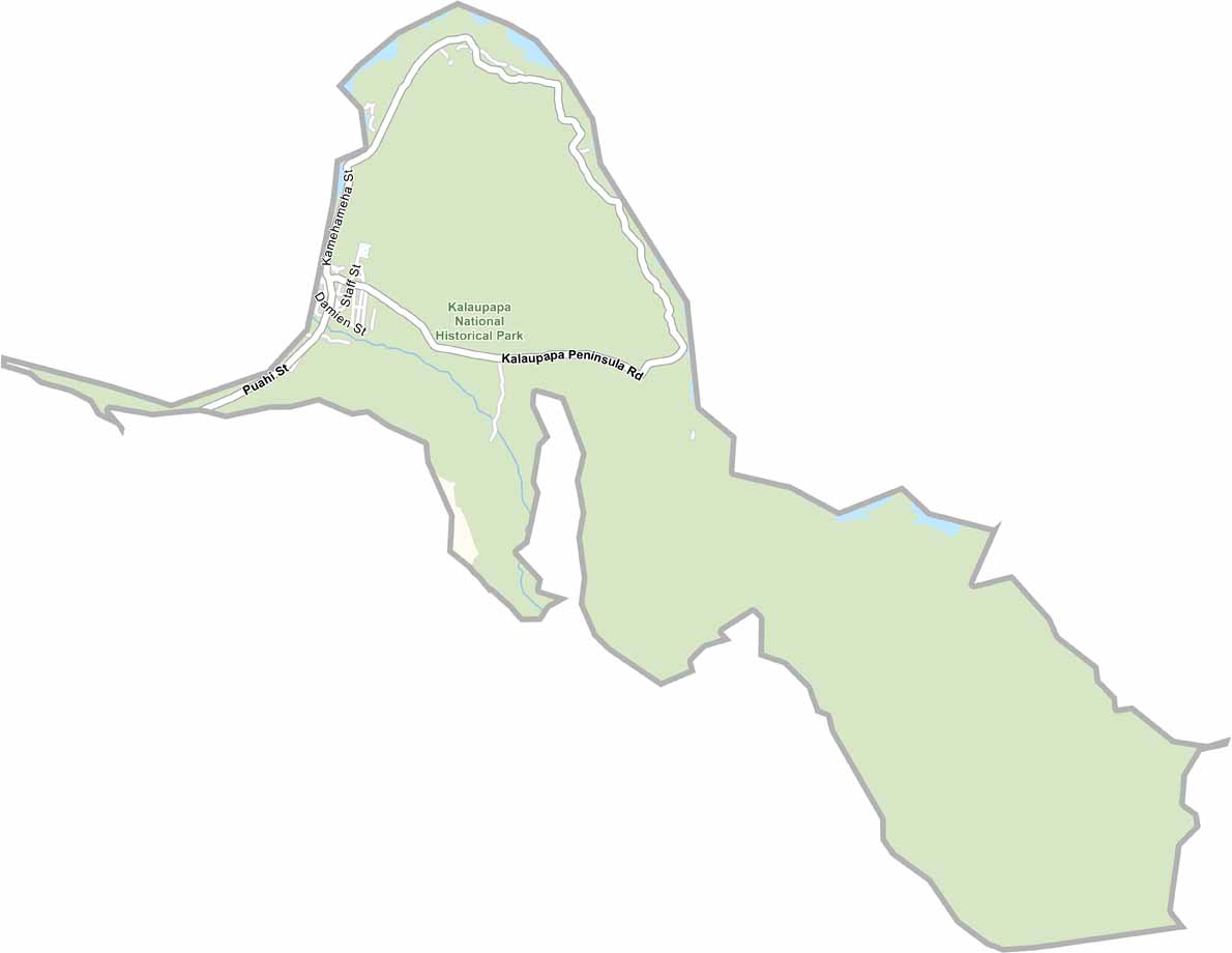
Much of the county is protected within Kalaupapa National Historical Park, which preserves both its cultural heritage and historical significance. Access is highly restricted, and the area remains largely untouched by modern development. Unlike other U.S. counties, Kalawao has no local elected government and is administered by the Hawaii Department of Health. Its isolation and preserved landscape make it a unique place that stands as a powerful reminder of a complex chapter in Hawaiian history.
Our Kalawao County satellite map highlights one of Hawaii’s most remote and unspoiled landscapes. Home to some of the world’s tallest sea cliffs, the county is known for its dramatic coastline and rugged natural beauty. Use our zoom tool to explore Kalaupapa, a secluded peninsula that showcases the area's unique geography and rich history.
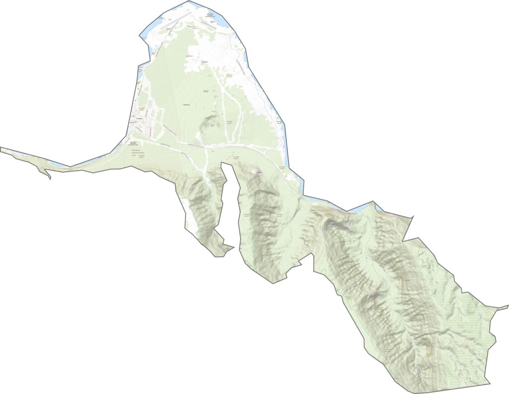
Our Kalawao County satellite map reveals a landscape of open green spaces, rugged terrain, and scattered agricultural areas. To the east, Halawa Valley stands out with its lush vegetation and scenic beauty, while the northern portion of the county contains most of its limited development. Use our zoom tool to explore this remote and secluded region in greater detail.
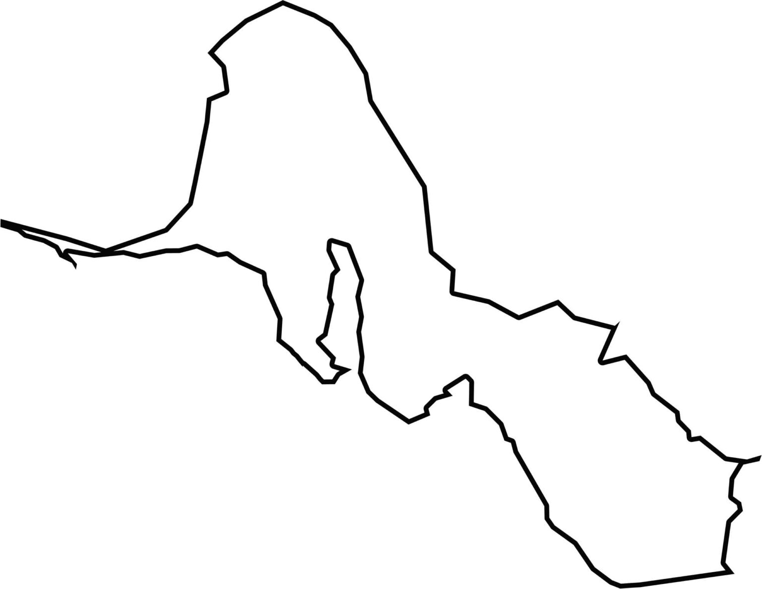
Kalawao County has a long, narrow shape that stretches along Molokaʻi’s northern coastline. Its boundaries are marked by rugged terrain and dramatic cliffs on both the northern and southern sides, giving the county a distinctive and easily recognizable outline.