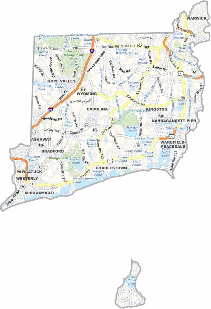
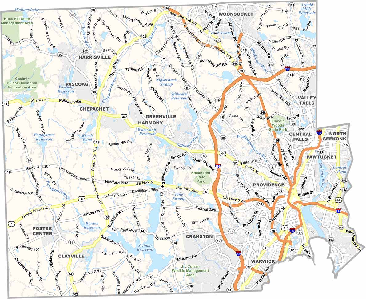
Washington County occupies the southwestern corner of Rhode Island and is often referred to by locals as South County. Known for its relaxed pace and scenic coastline, the county is home to some of New England’s most popular beaches, including Misquamicut State Beach and the shoreline around Narragansett. The region’s maritime heritage remains strong, particularly around Point Judith, where the fishing industry continues to play an important role in the local economy.
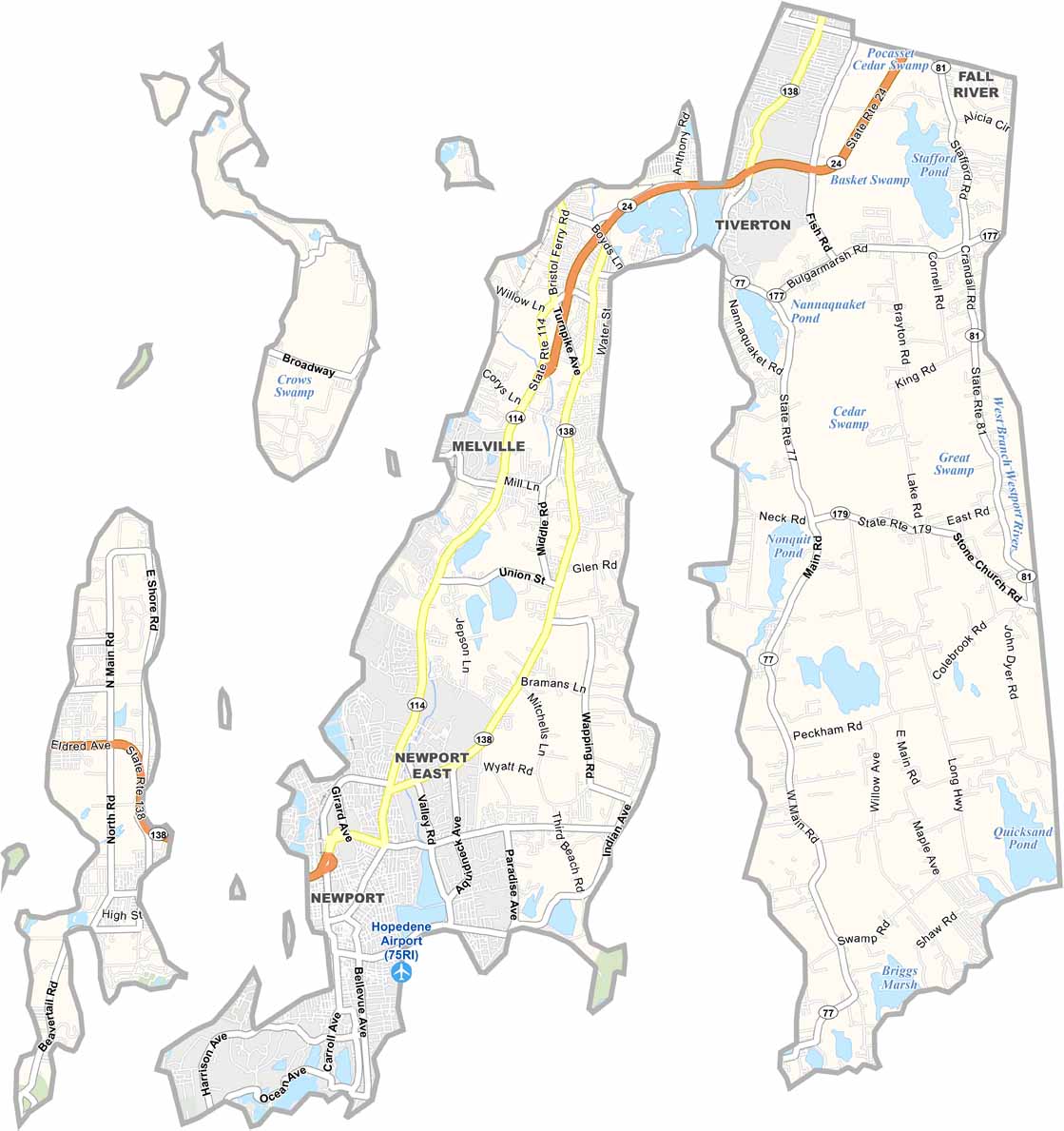
Along the Connecticut border, Westerly blends coastal beauty with a vibrant arts and cultural scene. The county is also known for its charming villages, including Wickford and Watch Hill, both celebrated for their historic character, waterfront views, and classic New England atmosphere.
With its combination of beaches, coastal communities, working harbors, and natural beauty, Washington County offers a distinctive Rhode Island experience that balances small-town charm with a strong connection to the sea.
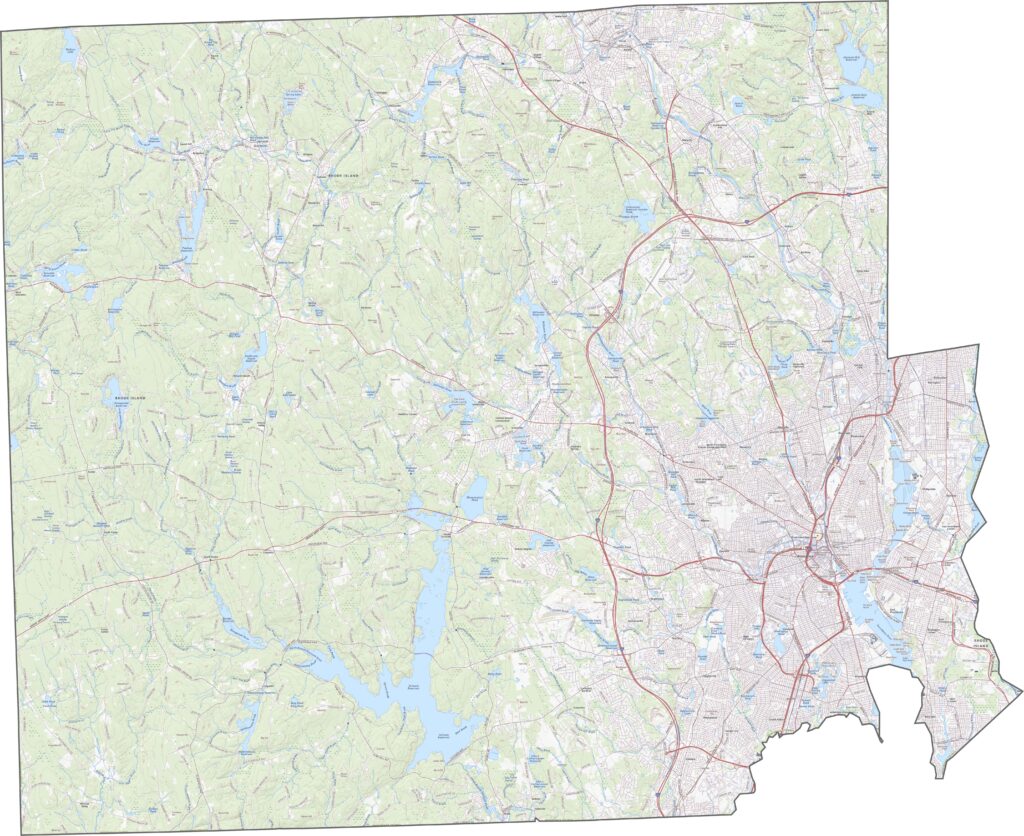
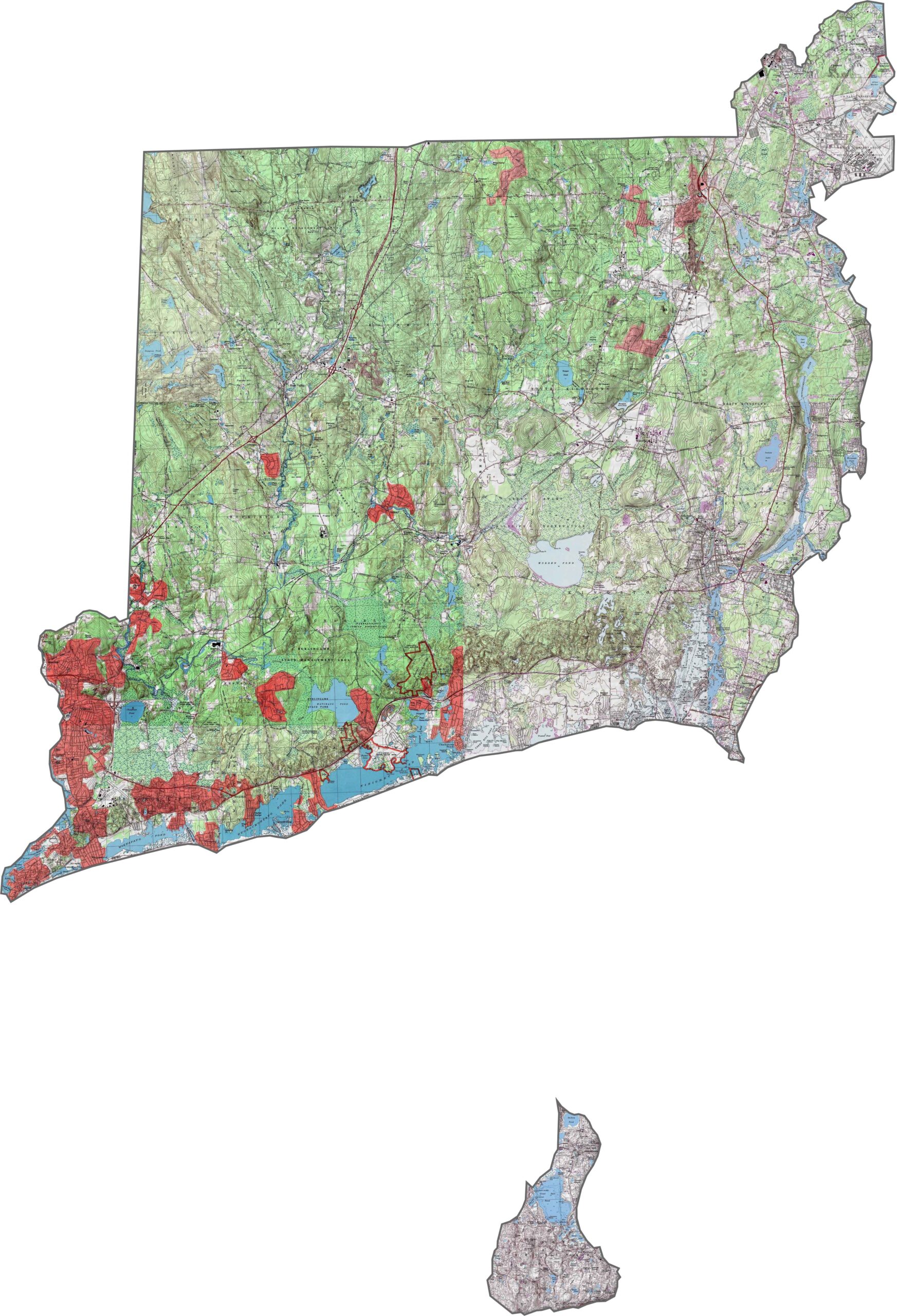
Our Washington County topographic map reveals a landscape of subtle but varied terrain. While the land gradually slopes toward the Atlantic coastline, inland areas feature rolling hills, low ridges, and scattered rocky uplands that add texture to the region. Closer to the shore, the terrain transitions into flatter coastal plains, creating the broad beaches and open landscapes for which the county is well known.

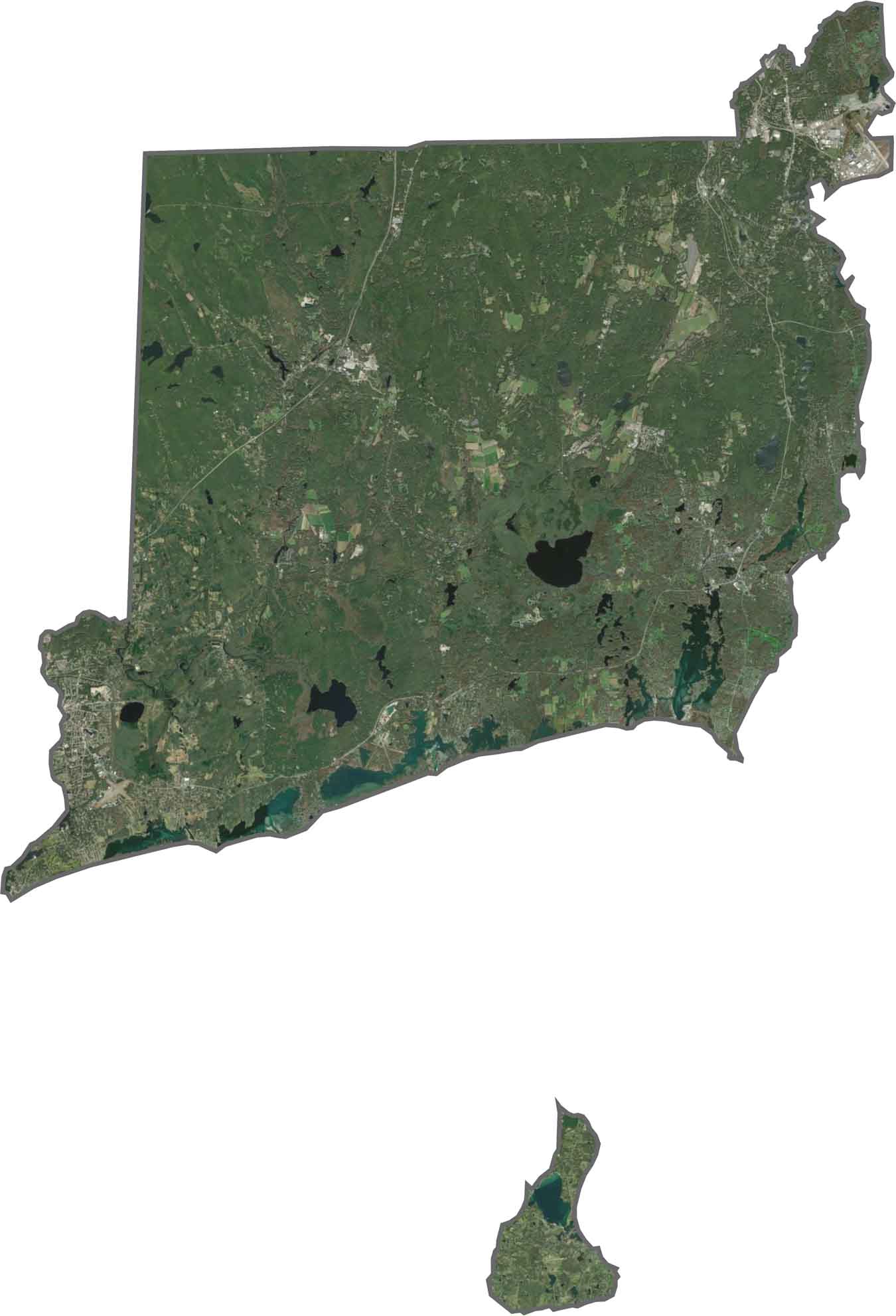
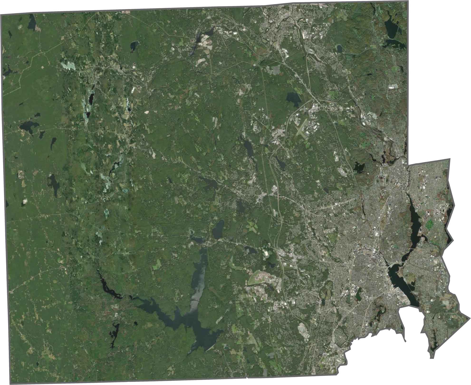
Our Washington County satellite map highlights vast forests, scattered lakes, and large areas of undeveloped land. Far to the south, Block Island stands out in the Atlantic Ocean, home to the town of New Shoreham. Along the coastline, small communities and seasonal homes are concentrated near the shore, while the county’s interior remains heavily wooded, creating broad stretches of dark green forest visible from above.

Our Washington County satellite map highlights vast forests, scattered lakes, and large areas of undeveloped land. Far to the south, Block Island stands out in the Atlantic Ocean, home to the town of New Shoreham. Along the coastline, small communities and seasonal homes are concentrated near the shore, while the county’s interior remains heavily wooded, creating broad stretches of dark green forest visible from above.
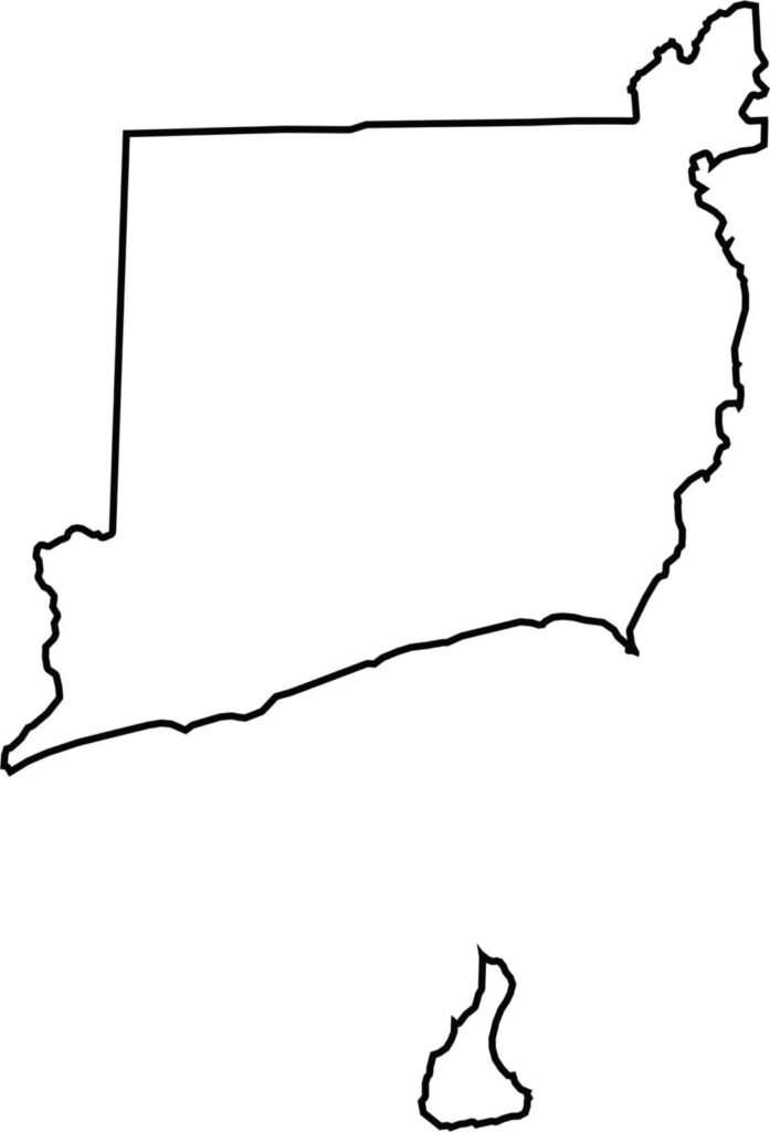
Washington County has a rugged and irregular outline shaped by its extensive Atlantic coastline. Stretching across Rhode Island’s southern edge, the county faces Block Island Sound and features a shoreline marked by numerous coves, inlets, and coastal ponds. The combined influence of the Atlantic Ocean and the region’s saltwater lagoons creates a deeply indented coastline, giving the county its distinctive coastal shape.

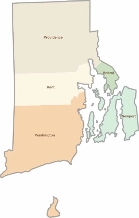
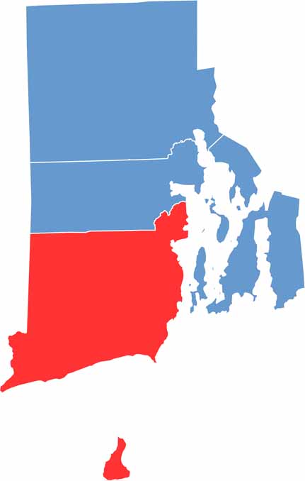
Rhode Island may have only five counties, but each offers its own distinct character. From scenic coastal communities and vibrant college districts to historic towns and peaceful wooded landscapes, the state packs a remarkable variety of places into a small area. Explore them all with our Rhode Island county map collection and discover the unique features that make each county stand out.