
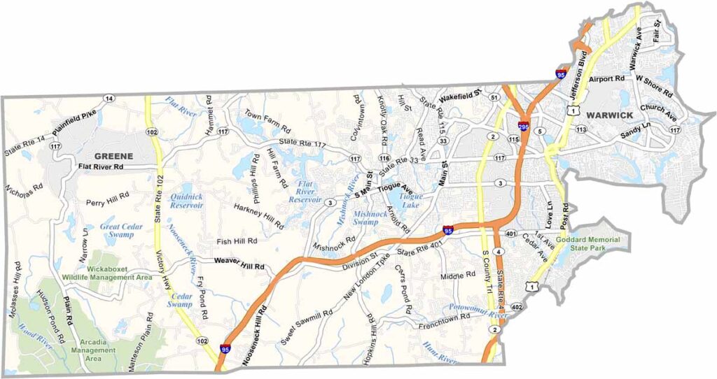
Kent County sits in the heart of Rhode Island and offers a diverse mix of cities, suburbs, forests, and coastal communities. Warwick, the county’s largest city, is a major hub with its airport, extensive coastline, and vibrant neighborhoods. However, the other towns throughout the county each have their own unique character.
West Warwick has a strong industrial history, while Coventry offers a classic small-town New England atmosphere. East Greenwich is known for its historic charm, waterfront areas, and upscale communities. Kent County also has a rich history, with old mills and sites connected to the American Revolution.
The county’s beaches are a major attraction during the summer months. Goddard Memorial State Park is a popular destination for hiking, picnicking, and relaxing outdoors. While Kent County may not be flashy, it offers good schools, employment opportunities, friendly communities, and a high quality of life—making it a great representation of Rhode Island.
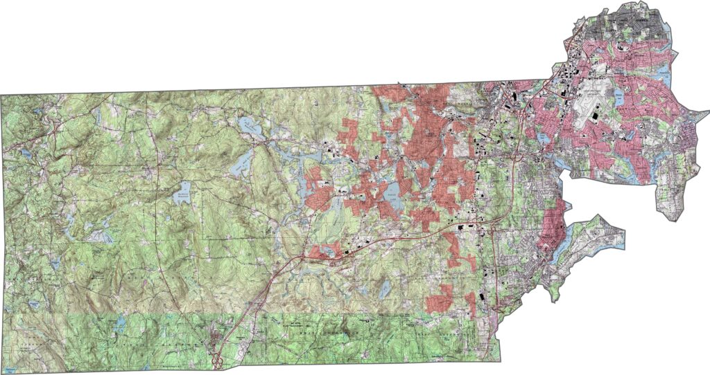
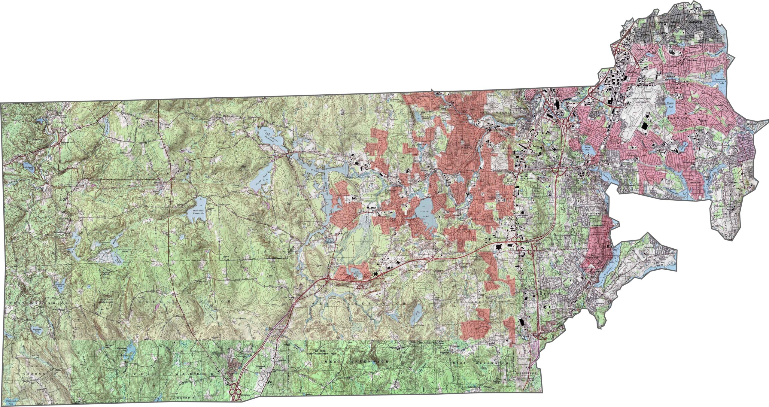
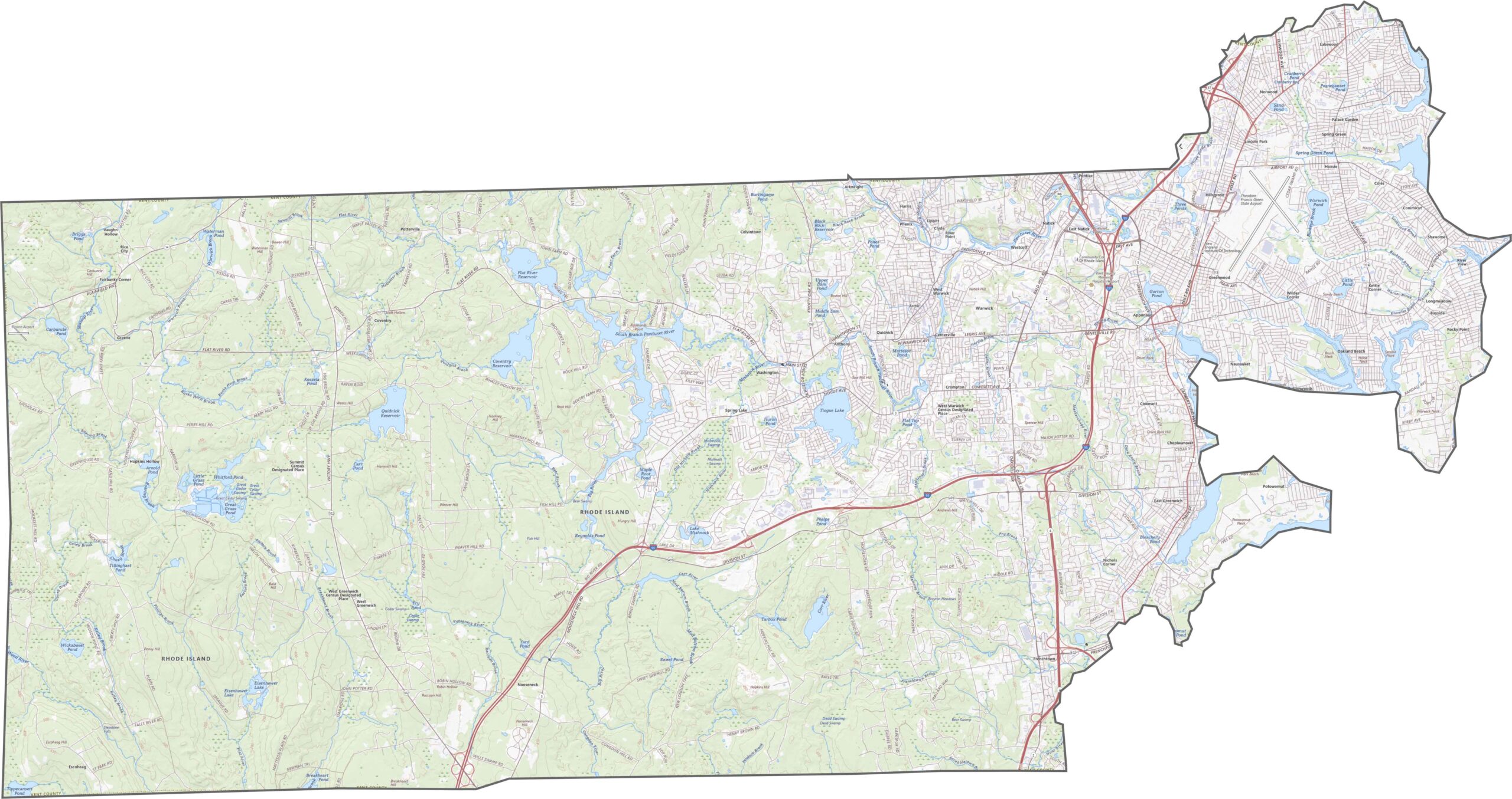
Kent County has more variation in elevation than you might expect. Rolling hills shape the western side, while flatter terrain becomes more prominent toward the east. It is not mountainous, but it is far from completely flat. This mix of inland terrain gives the topographic map of Kent County plenty of texture without extreme elevation changes.
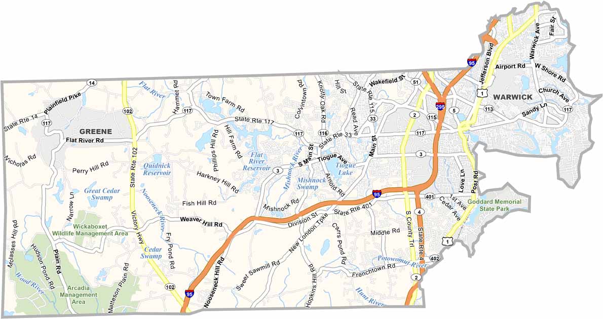
Kent County has a more developed highway network than many neighboring areas. Several major routes, including Interstate 95, cross through the county and connect urban and suburban communities. However, not every road is heavily traveled, with some quieter stretches passing through rural areas.
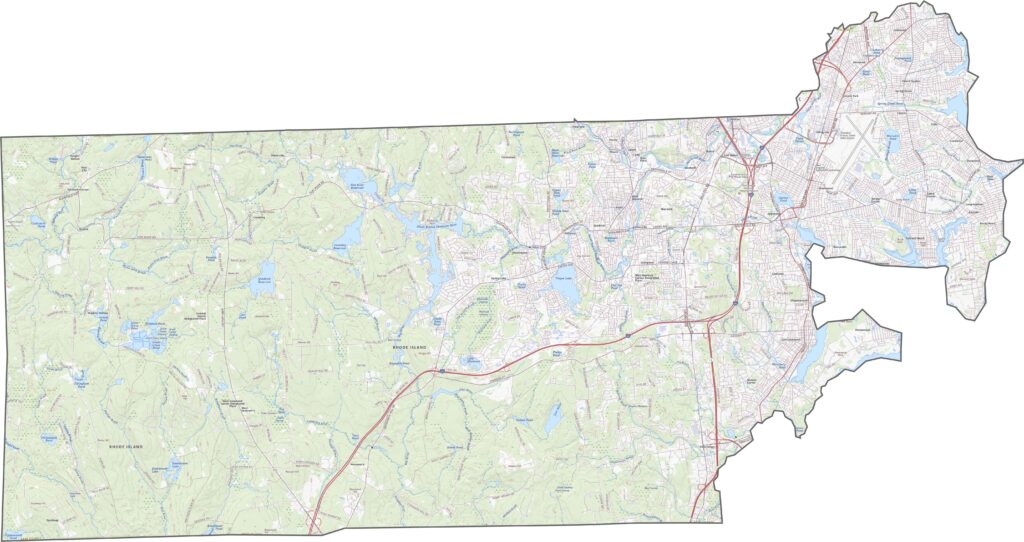
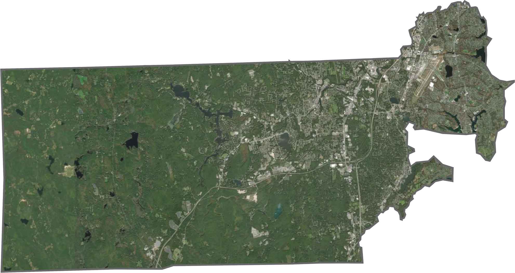
You’ll notice how quickly the landscape changes across the county. Forests dominate the west, while neighborhoods and highways become more common along the central corridor. Ponds and reservoirs are scattered throughout the landscape. Unlike Rhode Island’s coastal counties, Kent County appears greener than blue from above.
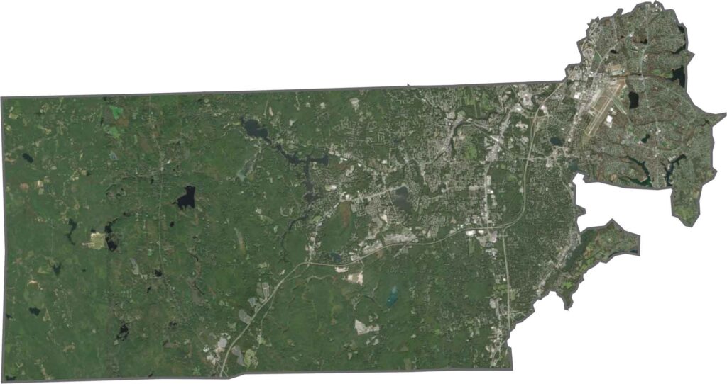
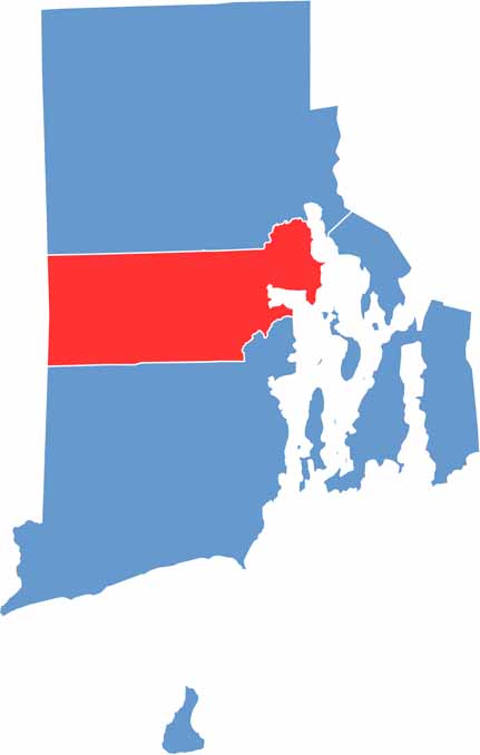
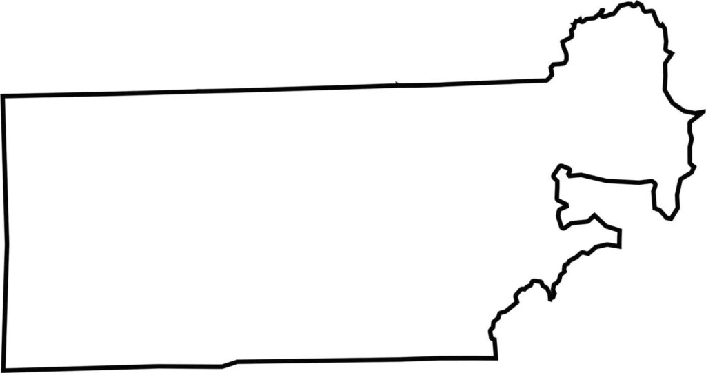
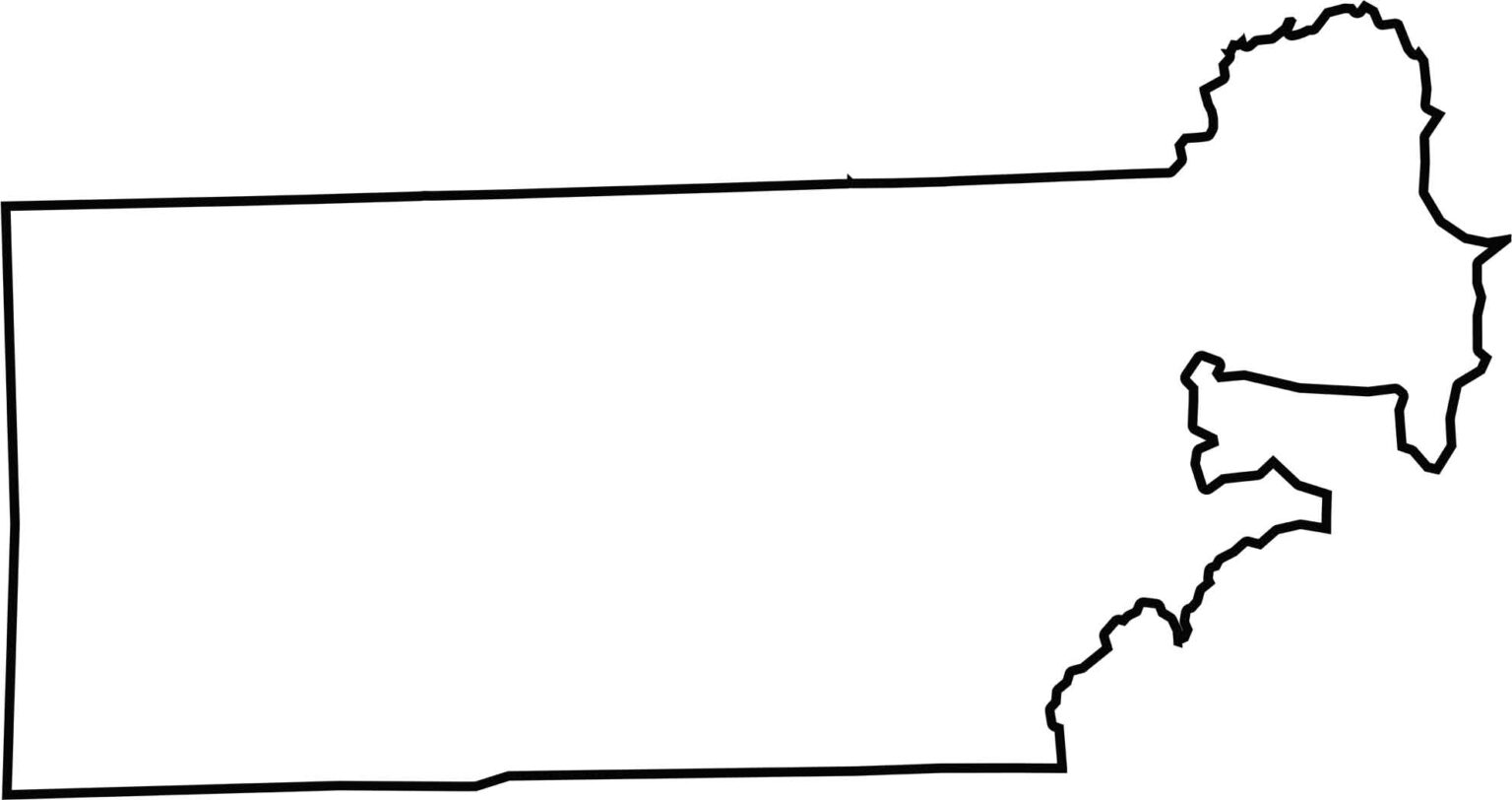
Kent County has a somewhat rectangular shape, with more irregular boundaries along the east. It borders Connecticut to the west and Greenwich Bay to the east.
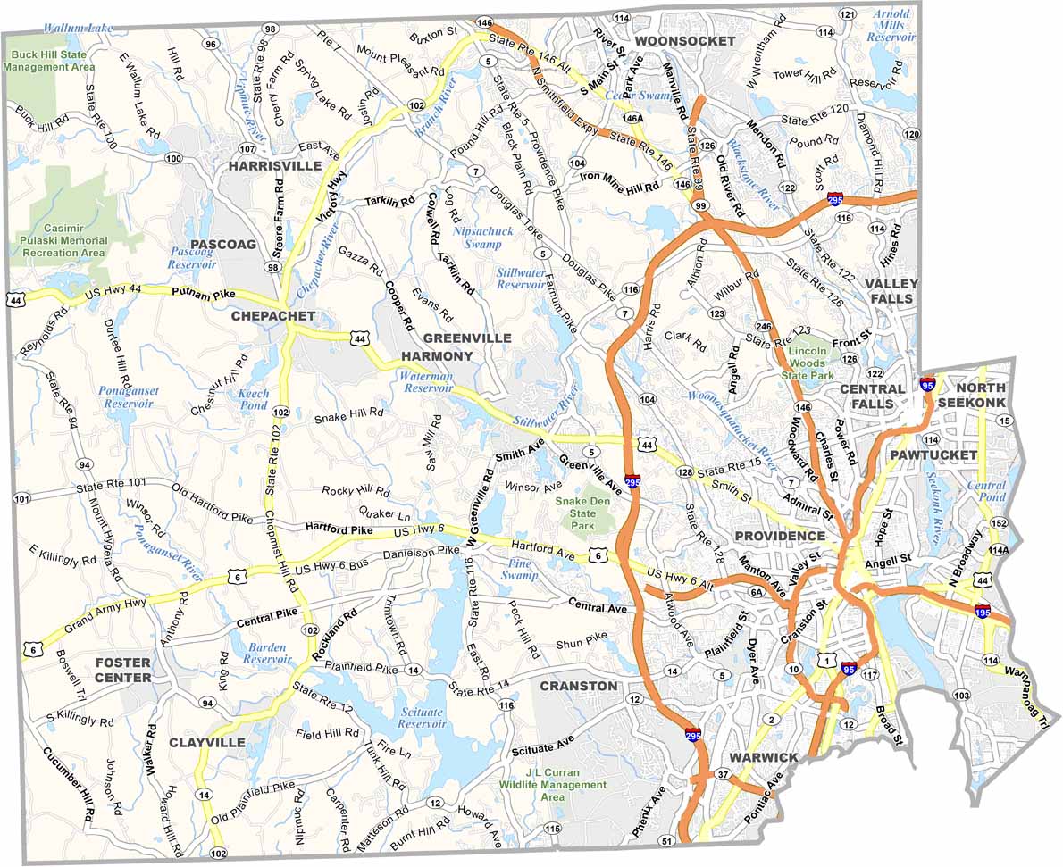
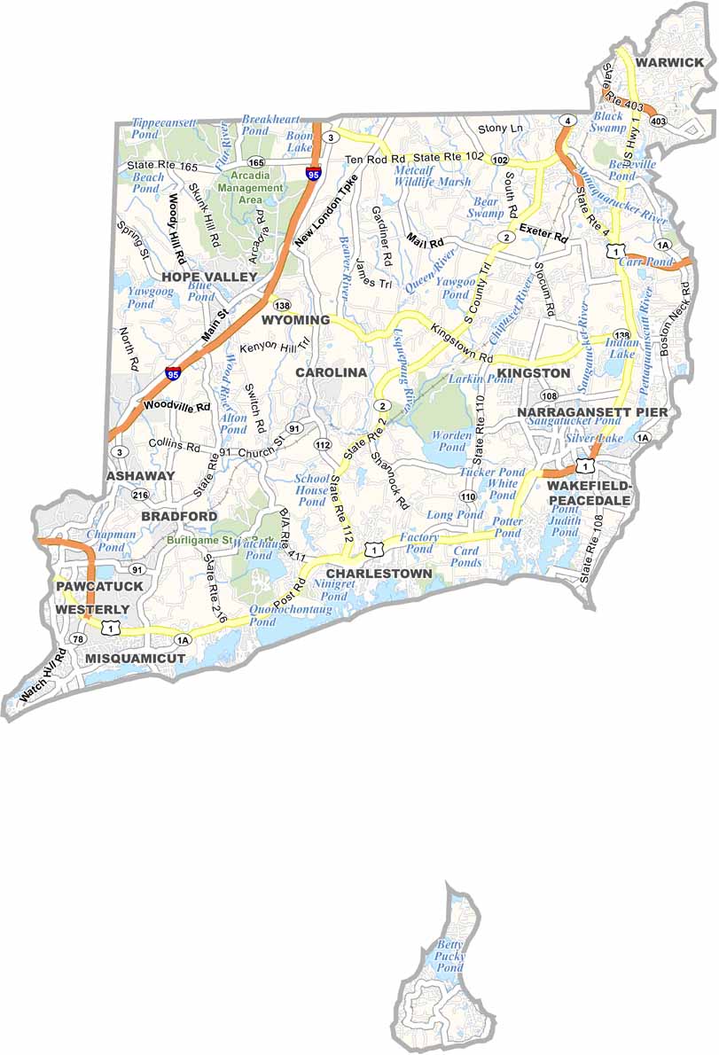

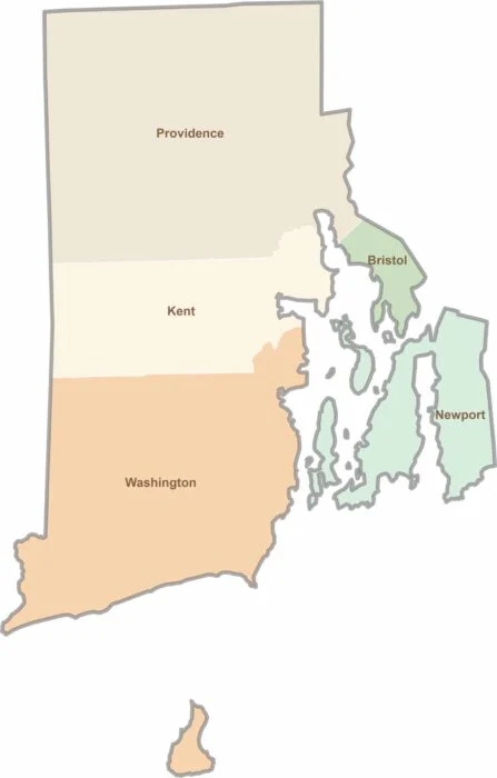
Rhode Island may have only five counties, but each offers its own distinct character. From scenic coastal communities and vibrant college districts to historic towns and peaceful wooded landscapes, the state packs a remarkable variety of places into a small area. Explore them all with our Rhode Island county map collection and discover the unique features that make each county stand out.