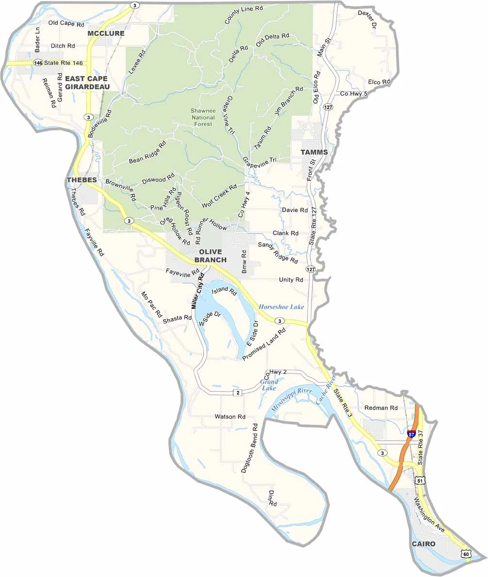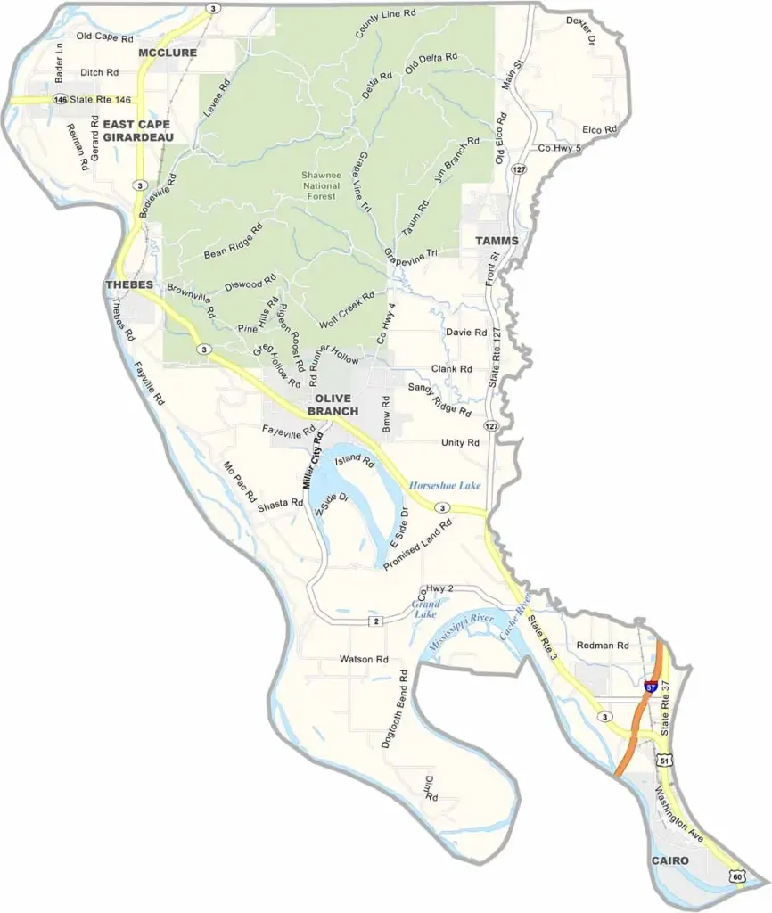
Alexander County, Illinois

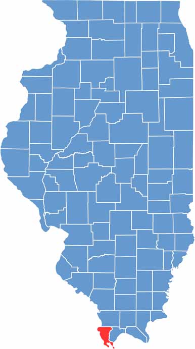
Alexander County sits at the southern tip of Illinois, where the Mississippi and Ohio Rivers meet. Cairo, the county seat, is located in the southeast. Farms cover much of the land, with corn and soybeans among the major crops.

The Shawnee National Forest offers excellent hiking opportunities in the north. The county also has a rich Civil War history, while river trade played an important role in shaping the region. Local residents are known for their resilience after weathering many difficult times.

The rivers continue to influence daily life and add character to the area. Alexander County features natural beauty, with fertile bottomlands and rolling hills creating a varied landscape. Life moves at a slower pace here, offering a peaceful rural atmosphere.

CategoryDetails
County NameAlexander County
County SeatCairo
PopulationApproximately 5,000
Cities, Towns, and CommunitiesCairo, Tamms, Thebes, McClure, East Cape Girardeau, Olive Branch, Horseshoe Lake, Unity, and various other unincorporated communities.
Interstates and HighwaysInterstate 57, U.S. Highway 51, Illinois Route 3, Illinois Route 37
FIPS Code17-003
Total Area (Land and Water)253 square miles (land: 236 sq mi, water: 17 sq mi)
Adjacent Counties (and Direction)Union County (North), Ballard County, Kentucky (Southeast), Pulaski County (East), Mississippi County, Missouri (South), Scott County, Missouri (West), Cape Girardeau County, Missouri (Northwest)
Time ZoneCentral Time Zone (CT)
StateIllinois
Coordinates37.1450° N, 89.3024° W
EtymologyNamed after William M. Alexander, a politician
Major LandmarksCairo Custom House Museum, Fort Defiance Park, Horseshoe Lake Nature Preserve
Scroll to Top