
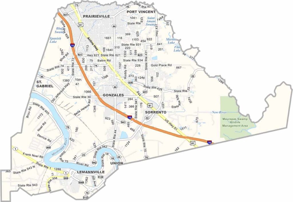
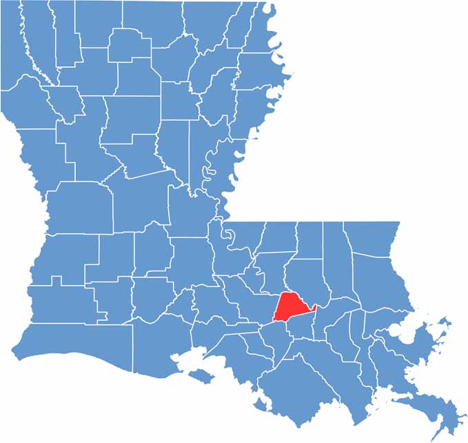
Ascension Parish sits in southeast Louisiana, roughly halfway between Baton Rouge and New Orleans. The Mississippi River cuts through the western section of the parish, surrounded by wetlands, swamps, and winding bayous.
Locals take pride in their French heritage, and you may hear words like “cher” and “bébé” woven into everyday conversation. That rich Louisiana culture comes alive through the parish’s festivals, food, traditions, and daily life.
This is Cajun country through and through. Alligators occasionally make surprising appearances in residential yards and even swimming pools, but in Ascension Parish, it can feel like just another day in south Louisiana.
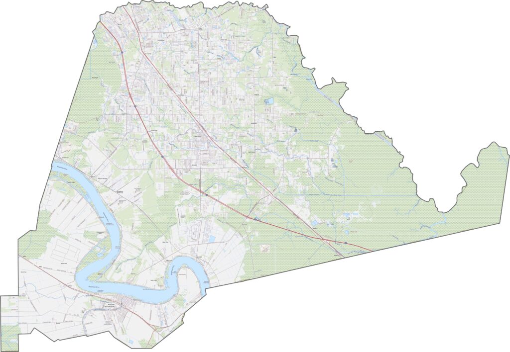
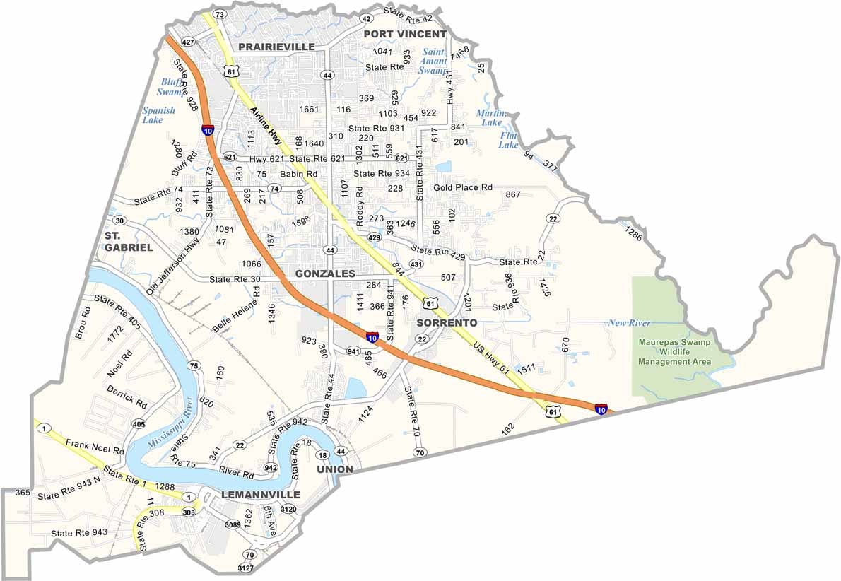
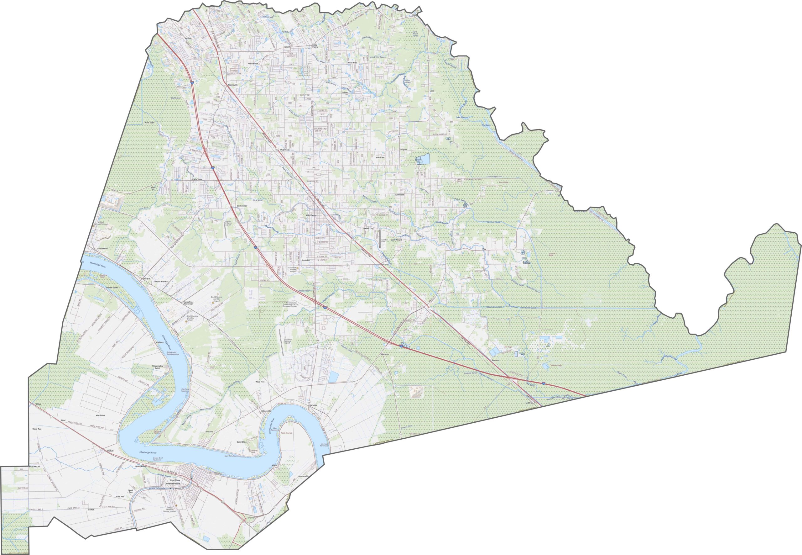
Ascension Parish is well-connected by major roads. Interstate 10 cuts through the parish, linking it with Baton Rouge and New Orleans. Smaller routes such as LA 42 and LA 73 are also vital for rural travel and local connections. Use our zoom tool to explore every route on the map.
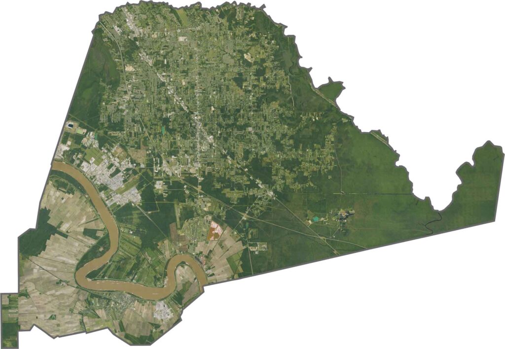
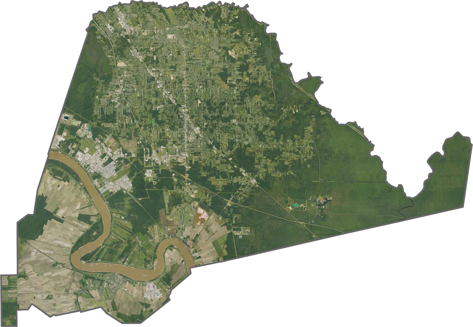
Ascension Parish blends industry and agriculture across its landscape. The Mississippi River dominates the western side, while fertile farmland stretches across much of the east. Industrial zones around Geismar stand out against the parish’s otherwise rural scenery.
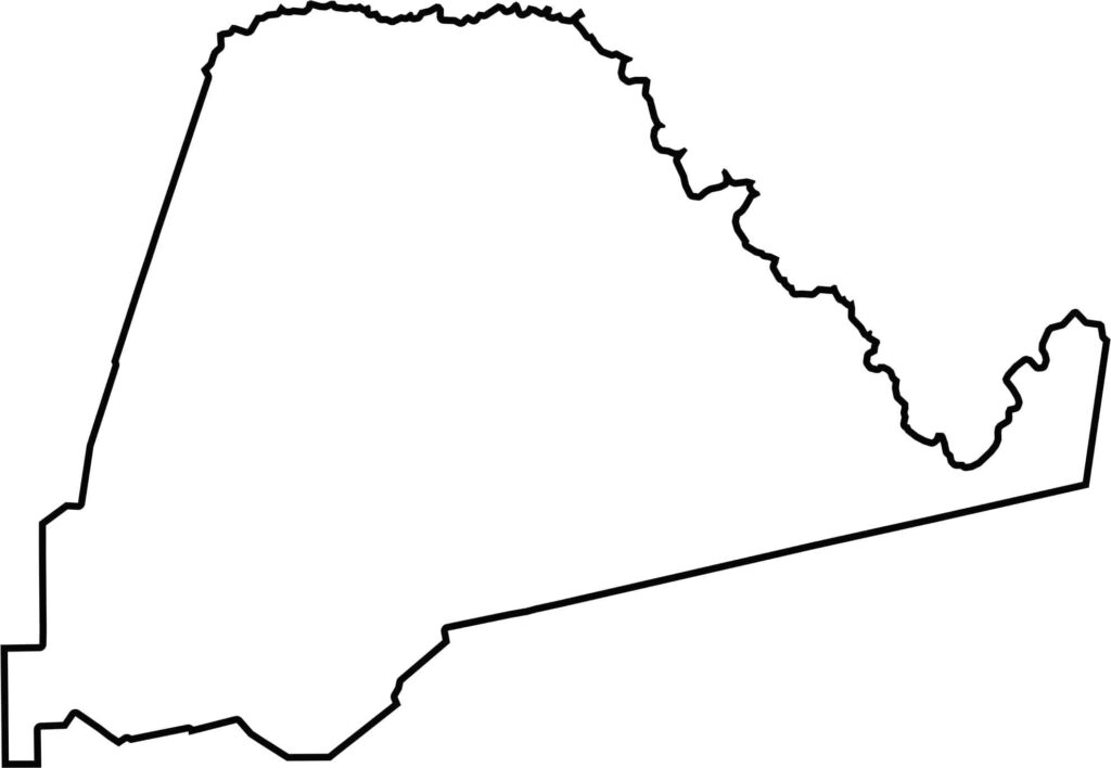
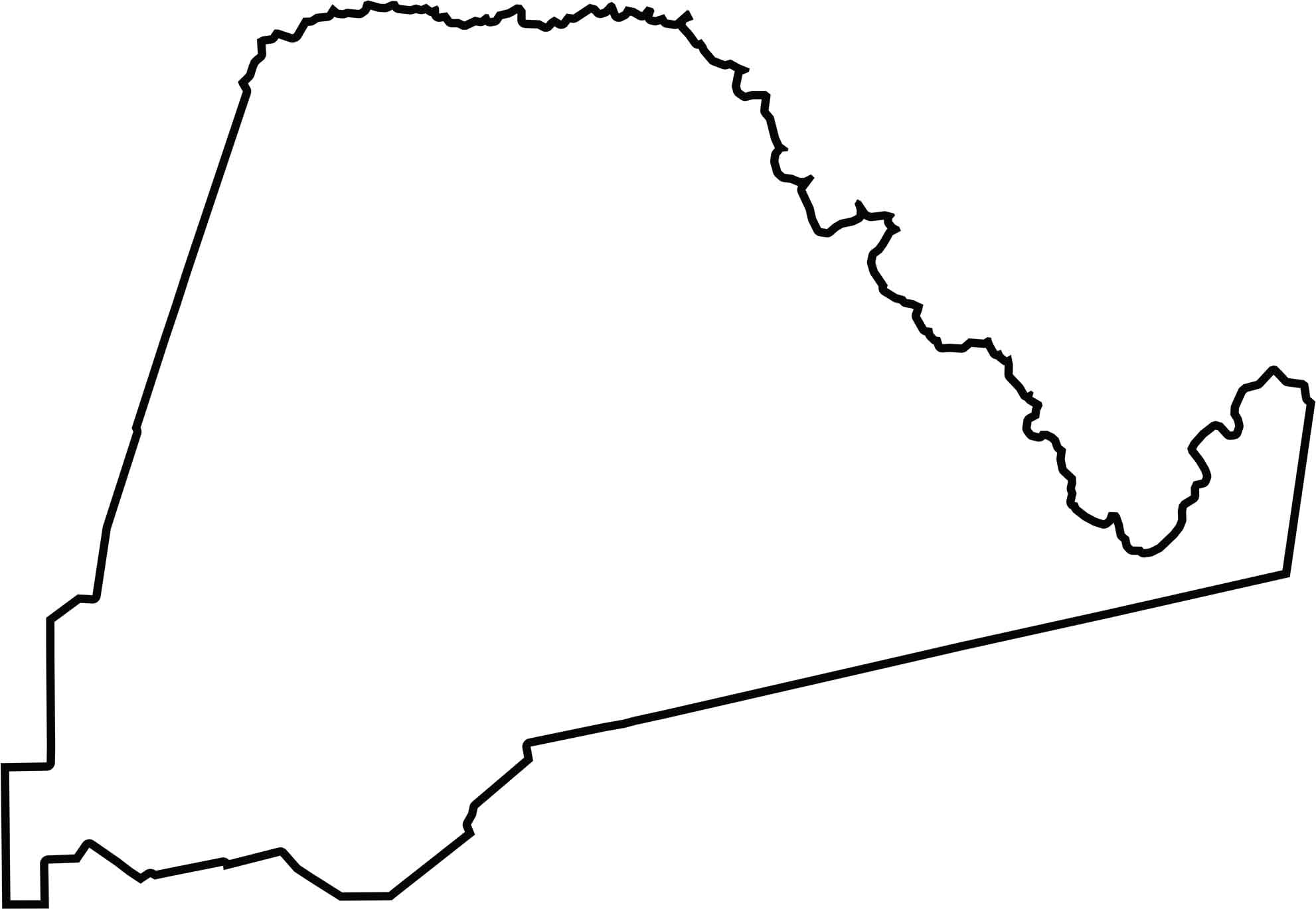
Ascension Parish is long and narrow, with its eastern side shaped by waterways such as Pierre Bayou. It does not border another state and sits firmly within Louisiana’s River Parishes, a region known for its communities along the Mississippi River.






In Louisiana, you’ll taste the spirit of the state in its hot sauce and hear it in the midnight blues. Laissez les bon temps rouler! Explore our Louisiana parish maps to discover the state’s unique communities, winding bayous, and rich landscapes. Come for the beignets. Stay for the bayou.