Bartholomew County, Indiana

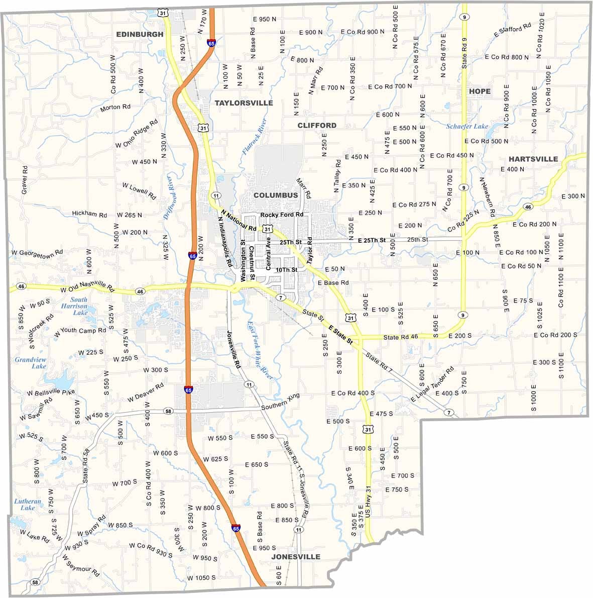
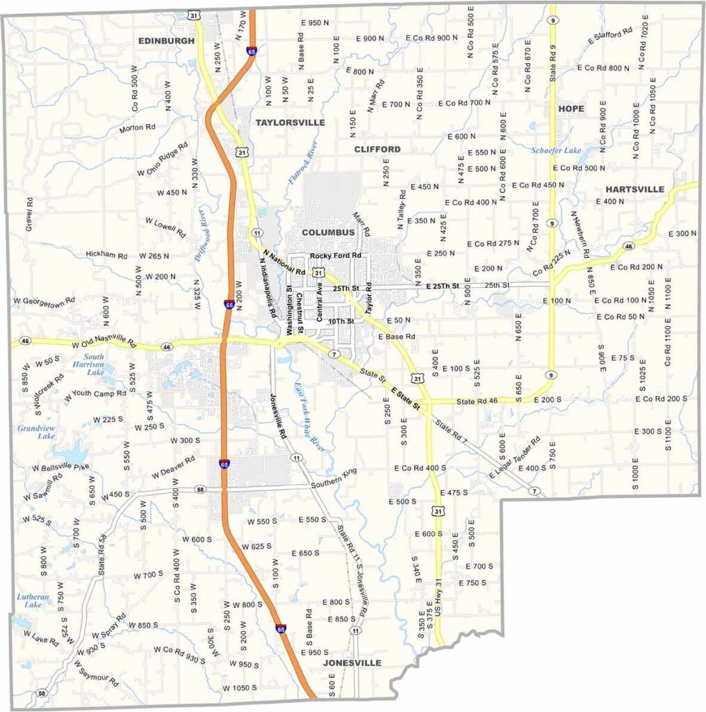
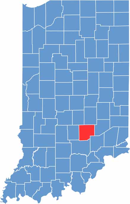
Bartholomew County sits in south-central Indiana. Columbus, the county seat, is located near the center of the county and is widely known for its impressive modern architecture.

Interstate 65 runs through the western part of the county, connecting it with Indianapolis and Louisville. Mill Race Park is a local favorite for outdoor recreation and features a distinctive observation tower.

The Bartholomew County Courthouse, built in 1874, reflects the area’s rich history and architectural heritage. Brown County State Park, Indiana’s largest state park, is also just a short drive west, offering plenty of opportunities to enjoy the outdoors.

CategoryDetails
County NameBartholomew County
County SeatColumbus
Population84,000 (estimated)
Cities, Towns, and CommunitiesColumbus, Hope, Taylorsville, Clifford, Edinburgh (partially), Hartsville
Interstates and HighwaysI-65, US-31, IN-7, IN-9, IN-11, IN-46, IN-58
FIPS Code18-005
Total Area (Land and Water)409 square miles (Land: 406 sq mi, Water: 3 sq mi)
Adjacent Counties (and Direction)Johnson County (Northwest), Shelby County (Northeast), Decatur County (East), Jennings County (Southeast), Jackson County (South), Brown County (West)
Time ZoneEastern Time Zone (ET)
StateIndiana
Coordinates39.2076° N, 85.8895° W
EtymologyNamed after General Joseph Bartholomew, a soldier of the Battle of Tippecanoe
Major LandmarksMill Race Park, Zaharakos Ice Cream Parlor and Museum, The Commons, Bartholomew County Courthouse
Scroll to Top