Bell County, Kentucky

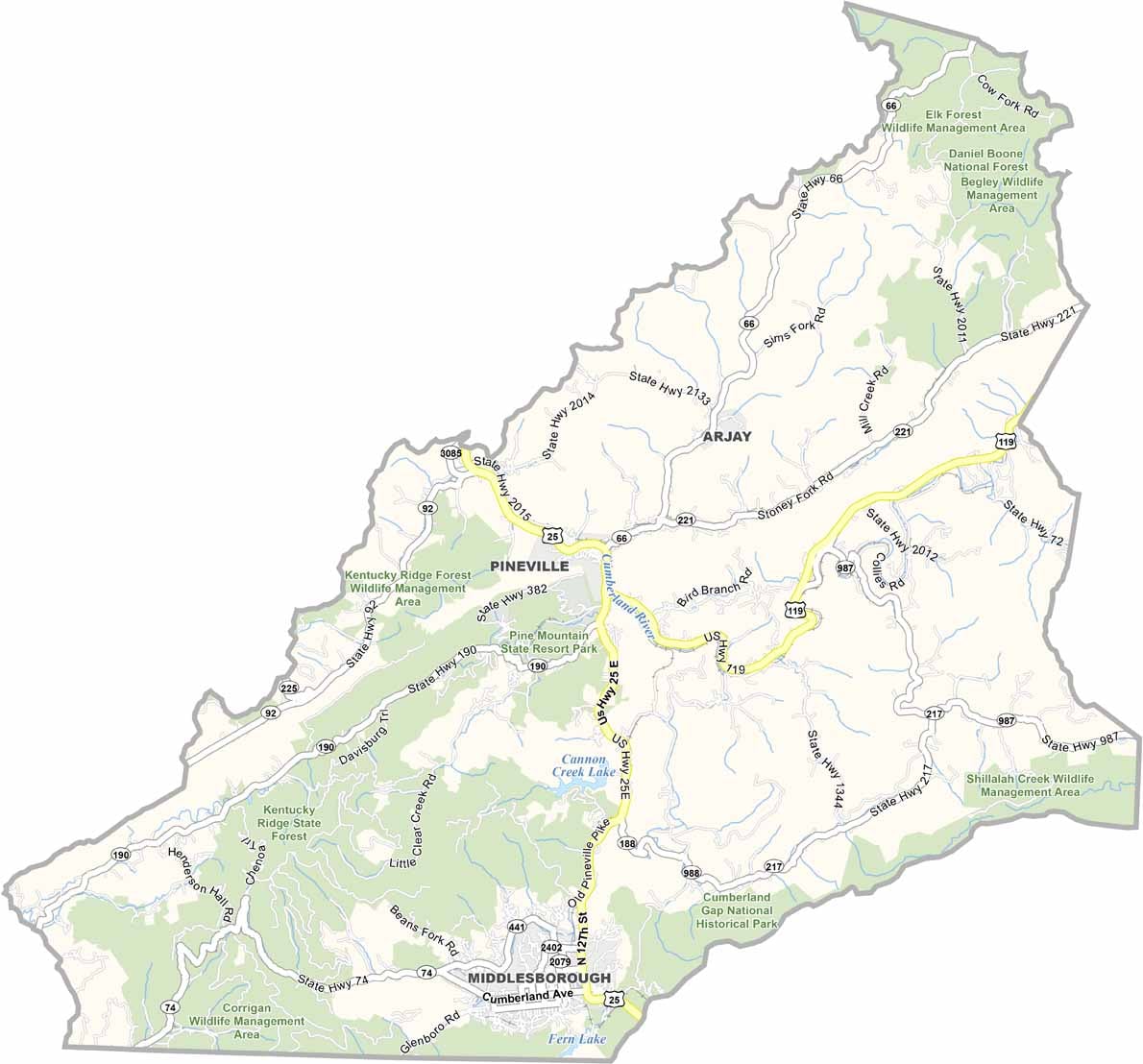
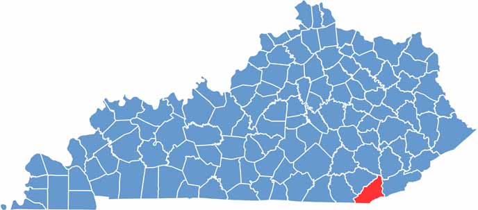
Bell County sits in the southeastern corner of Kentucky, where the state meets Tennessee and Virginia. Pineville serves as the county seat, and the area is packed with state parks and wildlife management areas.

The county is named after Joshua Fry Bell, a Kentucky politician. Cumberland Gap National Historical Park extends into Bell County and preserves the historic route where Daniel Boone helped blaze a trail through the mountains.

Coal mining was once a major part of the local economy, but tourism and outdoor recreation have become increasingly important. Pine Mountain State Resort Park offers beautiful mountain views and hiking opportunities. Today, around 26,000 residents call Bell County home.
CategoryDetails
County NameBell County
County SeatPineville
Cities, Towns, and CommunitiesPineville, Middlesboro, Fernvale, Fourmile, Balkan
Interstates and HighwaysUS-25E, US-119, KY-66, KY-74
EtymologyNamed after Joshua Fry Bell, a U.S. Representative from Kentucky
FIPS Code21-013
Total Area (Land and Water)361 sq mi (Land: 359 sq mi; Water: 2 sq mi)
Adjacent Counties (and Direction)Clay County (North), Leslie County (Northeast), Harlan County (East), Lee County, Virginia (Southeast), Claiborne County, Tennessee (South), Whitley County (Southwest), Knox County (Northwest)
Time ZoneEastern Time Zone (ET)
StateKentucky
Coordinates36.7281° N, 83.6987° W
Major LandmarksCumberland Gap National Historical Park, Pine Mountain State Resort Park, Wilderness Road State Park
PopulationApproximately 26,000
Scroll to Top