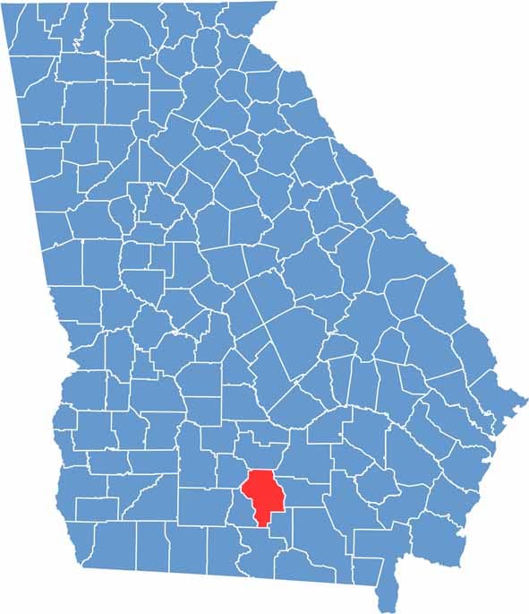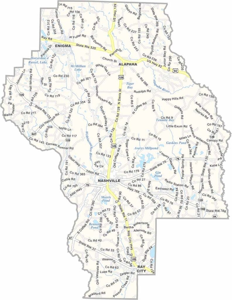
Berrien County is located in southern Georgia, within the state's coastal plain region. Nashville serves as the county seat, though it has little in common with its famous Tennessee namesake. The county was named after John McPherson Berrien, a prominent lawyer and politician from Georgia’s early history.
The Alapaha River winds through the county, providing excellent opportunities for fishing and outdoor recreation. Paradise Public Fishing Area is a local favorite, offering scenic views, primitive campsites, and plenty of fishing spots for visitors to enjoy.
Agriculture remains the foundation of the local economy. While tobacco once dominated the fields, cotton and peanuts have become the county’s leading crops. With its rural landscapes, strong farming traditions, and welcoming small-town atmosphere, Berrien County offers a classic glimpse into Southern Georgia life.