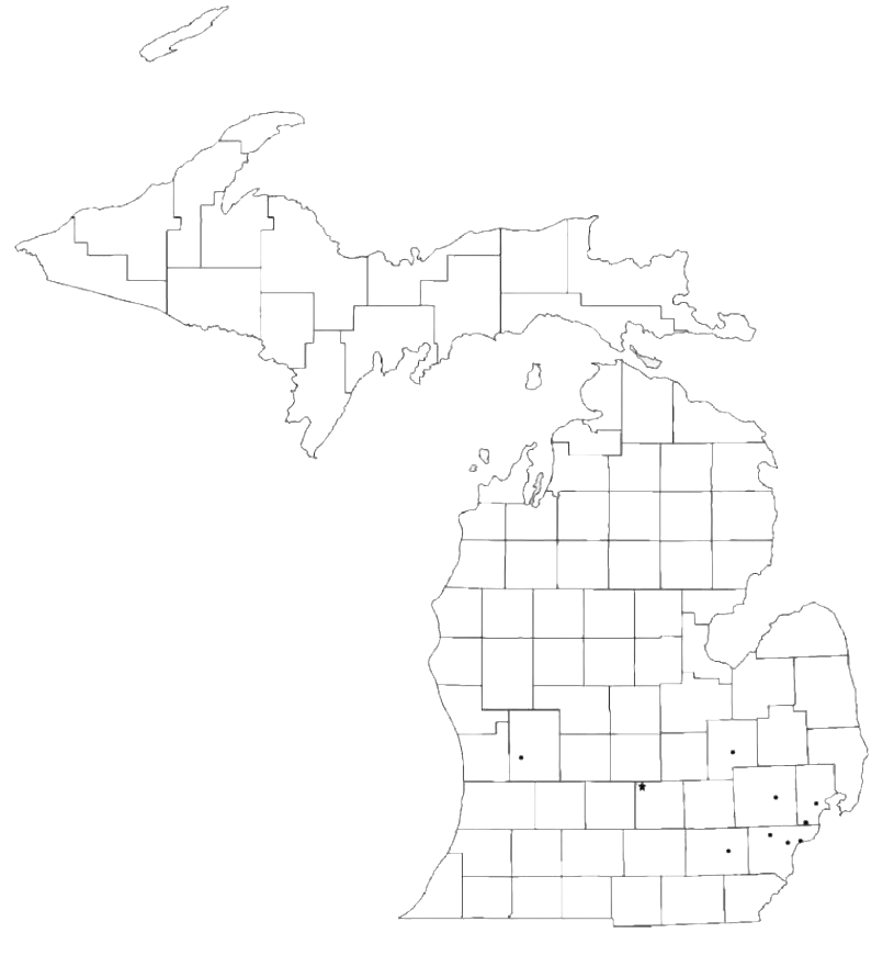
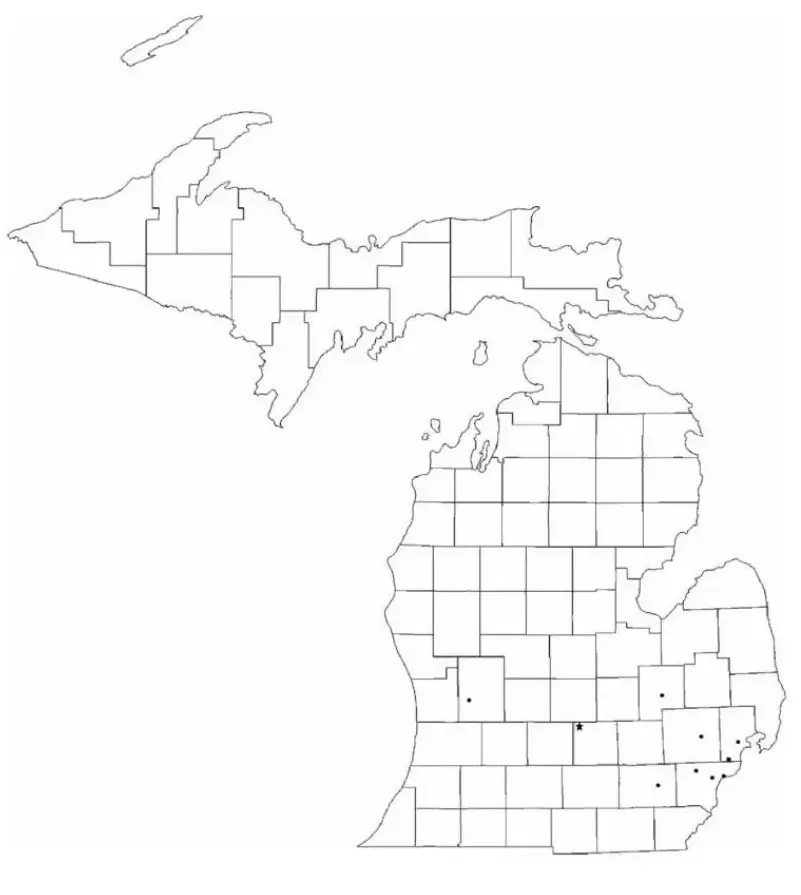
A Blank Michigan County Map is a versatile resource that can be used for educational activities, research projects, travel planning, and geographic studies. Featuring an unlabeled outline of the state, it provides a blank canvas for identifying and marking important locations, counties, cities, and natural features. Michigan’s unique geography, consisting of the Upper and Lower Peninsulas and surrounded by four of the five Great Lakes, makes it especially interesting for map-based learning and exploration.
In educational settings, a Blank Michigan Map is often used for assignments that involve labeling state boundaries, identifying major cities such as Detroit, Grand Rapids, and Lansing, and marking significant natural landmarks including Lake Michigan and Lake Superior. It is also a valuable tool for homeschooling, interactive learning activities, and travel preparation. Available in various formats, including county maps, road maps, and physical geography maps, it can be adapted to suit different learning objectives. Whether studying transportation networks, political boundaries, or Michigan’s diverse landscapes, a Blank Michigan Map offers a flexible and engaging way to explore the geography of the Great Lakes State while supporting active participation and visual learning.
Michigan, known as the Great Lakes State, is located in the Upper Midwest region of the United States. The state is unique for its two distinct landmasses—the Upper Peninsula and the Lower Peninsula—which are connected by the iconic Mackinac Bridge. Surrounded by four of the five Great Lakes, Michigan boasts the longest freshwater coastline of any U.S. state. It is celebrated for its scenic landscapes, rich automotive heritage, and vibrant cities such as Detroit, Grand Rapids, and the state capital, Lansing. With a diverse economy, strong cultural traditions, and abundant recreational opportunities, Michigan offers something for residents and visitors alike, from outdoor adventures to urban attractions.
A Michigan Map Worksheet is an effective educational tool that helps students explore the state's geography, major cities, landmarks, and natural features. These worksheets typically include blank or labeled maps that allow learners to identify and mark important locations such as Detroit, Grand Rapids, Lake Michigan, and the Upper and Lower Peninsulas. By working with these maps, students can develop a better understanding of Michigan’s geographic layout and regional characteristics.
Teachers often use Michigan map worksheets for classroom activities, quizzes, and homework assignments designed to strengthen map-reading abilities and spatial awareness. Suitable for both elementary and high school students, these worksheets encourage active participation and hands-on learning. Through labeling, coloring, and map-based exercises, learners gain a deeper appreciation of Michigan’s diverse landscapes, important landmarks, and overall geography.
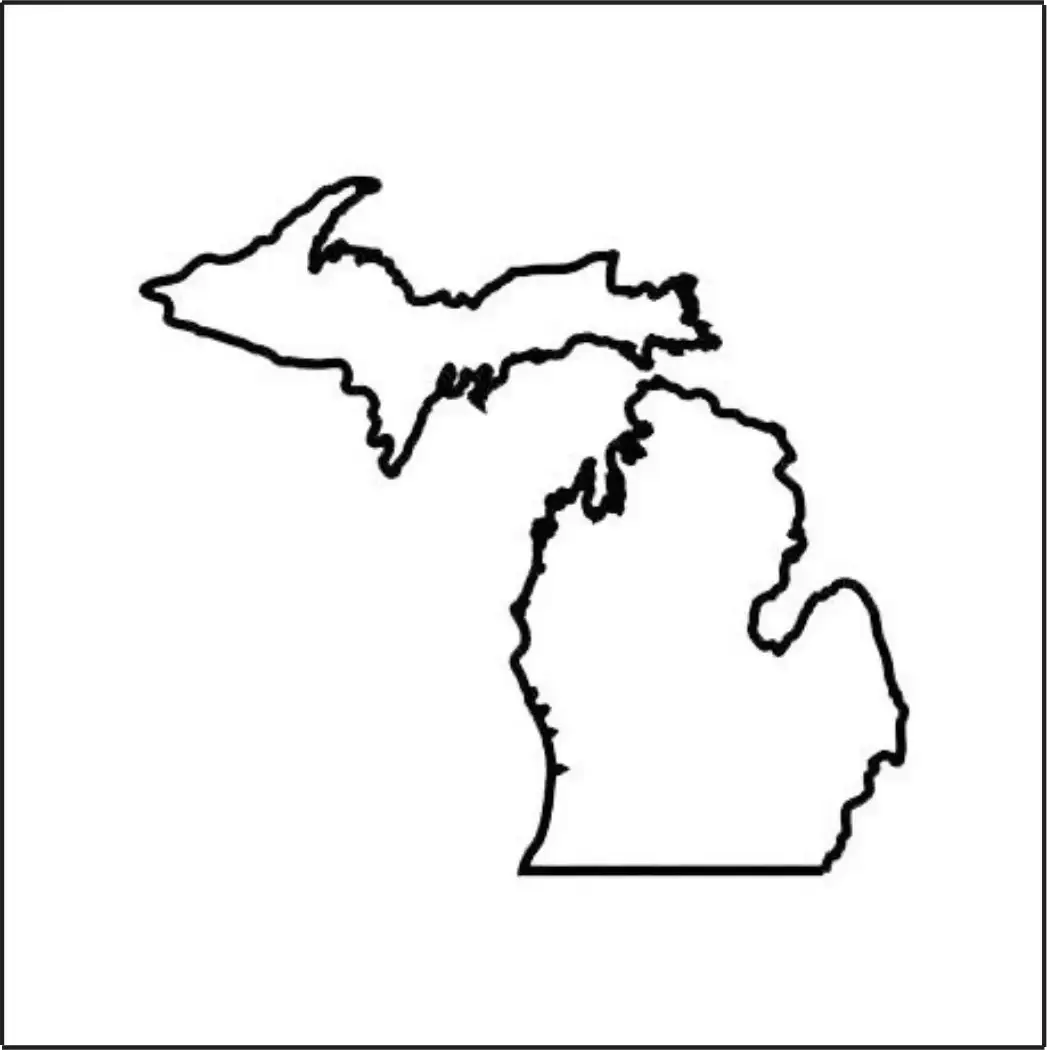
A Michigan Map Outline is a simple representation of the state's shape and boundaries without any internal labels, markings, or detailed features. It serves as a versatile resource for educational, planning, and creative purposes. Michigan’s distinctive geography, consisting of the Upper and Lower Peninsulas and bordered by four Great Lakes, makes its outline easily recognizable and particularly useful for teaching geographic concepts.
In classrooms, students can use the outline to identify and label major cities, counties, rivers, lakes, and other important landmarks. Teachers often incorporate it into quizzes, worksheets, and interactive learning activities to strengthen map-reading skills and geographic knowledge. Whether used for school projects, presentations, research, or personal exploration, a Michigan map outline provides a flexible and engaging way to study the state's unique geography and regional features.

